Bethel is a town in Sussex County, Delaware, United States. According to 2010 Census Bureau figures, the population of the town is 171. It is part of the Salisbury, Maryland-Delaware Metropolitan Statistical Area.
| Name: | Bethel town |
|---|---|
| LSAD Code: | 43 |
| LSAD Description: | town (suffix) |
| State: | Delaware |
| County: | Sussex County |
| Incorporated: | April 4, 1907 |
| Elevation: | 23 ft (7 m) |
| Total Area: | 0.44 sq mi (1.14 km²) |
| Land Area: | 0.44 sq mi (1.14 km²) |
| Water Area: | 0.00 sq mi (0.00 km²) |
| Total Population: | 239 |
| Population Density: | 543.18/sq mi (209.50/km²) |
| ZIP code: | 19931 |
| Area code: | 302 |
| FIPS code: | 1005820 |
| GNISfeature ID: | 213641 |
| Website: | bethel.delaware.gov |
Online Interactive Map
Click on ![]() to view map in "full screen" mode.
to view map in "full screen" mode.
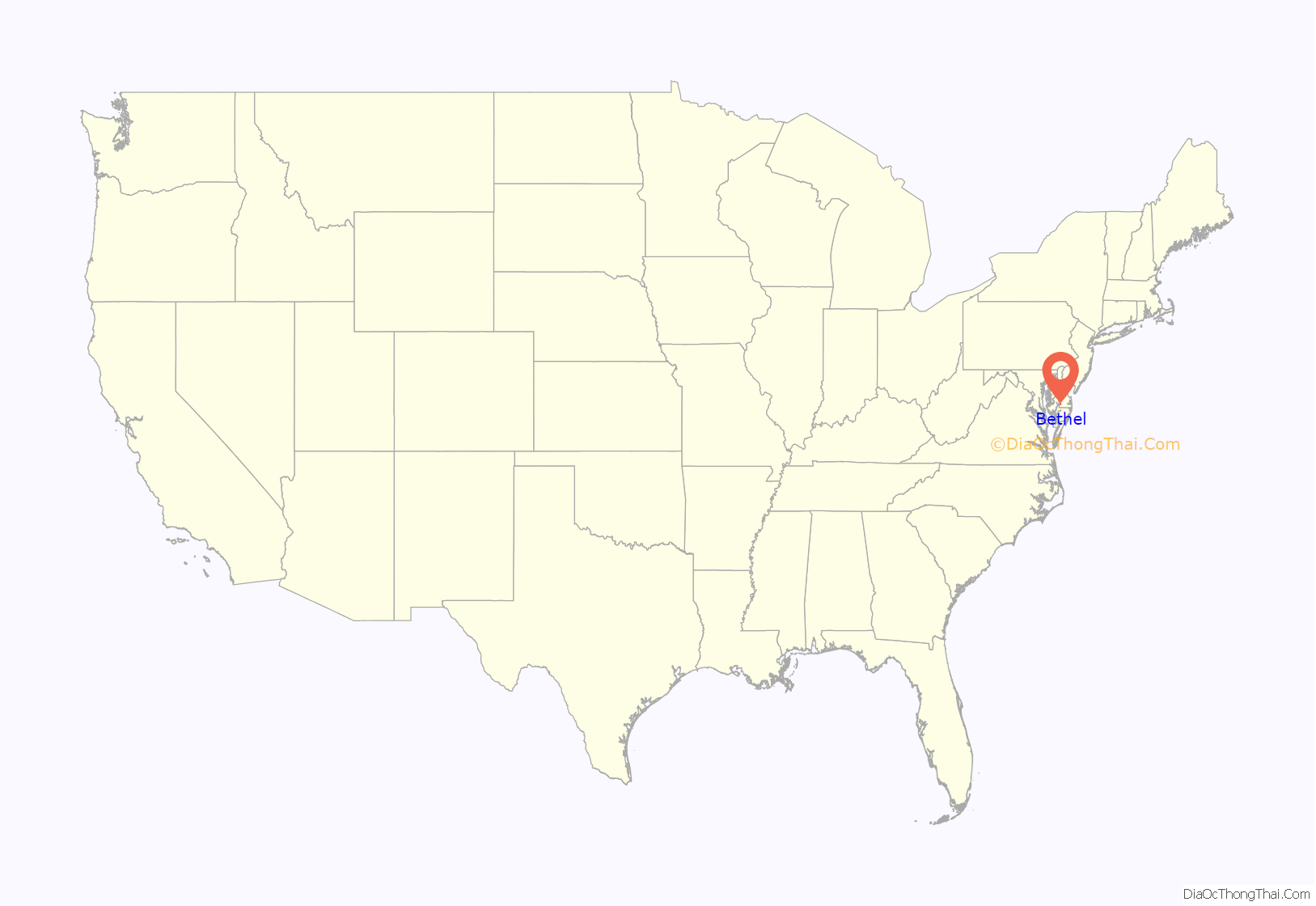
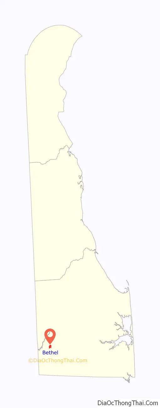
Bethel location map. Where is Bethel town?
History
Bethel is a small, well-preserved 19th century shipbuilding and trading community. Wooden sailing vessels were constructed by Bethel’s skilled ship carpenters until the early-20th century. The most significant class of Bethel craft were the Chesapeake sailing rams, which originated from this Broad Creek port.
The town of Bethel was formerly known as both Lewis’ Wharf and Lewisville. The site was originally part of five hundred acres granted by the province of Maryland to James Caldwell in 1728. Settlement of this area was inhibited by the continuous boundary disputes between Maryland and the Penn family. In 1795, Kendal Major Lewis, the founder of Bethel, acquired much of James Caldwell’s original grant as well as a smaller tract on Broad Creek, known as Mitchell’s Harbor. Here he established a landing that grew to become a prosperous trading center. In the 1840s, Lewis’ Wharf developed into a thriving community known as Lewisville.
Within the next 20 years, Lewisville was to become an important shipbuilding center. The extensive forests along the Nanticoke provided abundant supplies of virgin pine, oak and cypress. In 1869, Jonathan Moore of Lewisville established the most important marine railway on the peninsula south of Wilmington. John M. C. Moore, superintendent of Lewisville’s Marine Railway Company, originated the well-known Chesapeake sailing ram. This class of sailing vessel was designed as an economical, flatbottom, three masted schooner; its operation required only a small crew. Rams were used for coastal freight primarily on the Chesapeake Bay. Between 1871 and 1918, as many as thirty rams were built in Lewisville shipyards.
In 1880, when the village applied for a post office, its name was changed to Bethel, since another Lewisville, Delaware, post office already existed.
Bethel’s population was 400 in 1890, and was 387 in 1900.
The Bethel Historic District was added to the National Register of Historic Places in 1975.
Bethel Road Map

Bethel city Satellite Map

Geography
Bethel is located at 38°34′14″N 75°37′10″W / 38.57056°N 75.61944°W / 38.57056; -75.61944 (38.5706707, –75.6193717).
According to the United States Census Bureau, the town has a total area of 0.4 square miles (1.0 km), all land.
See also
Map of Delaware State and its subdivision: Map of other states:- Alabama
- Alaska
- Arizona
- Arkansas
- California
- Colorado
- Connecticut
- Delaware
- District of Columbia
- Florida
- Georgia
- Hawaii
- Idaho
- Illinois
- Indiana
- Iowa
- Kansas
- Kentucky
- Louisiana
- Maine
- Maryland
- Massachusetts
- Michigan
- Minnesota
- Mississippi
- Missouri
- Montana
- Nebraska
- Nevada
- New Hampshire
- New Jersey
- New Mexico
- New York
- North Carolina
- North Dakota
- Ohio
- Oklahoma
- Oregon
- Pennsylvania
- Rhode Island
- South Carolina
- South Dakota
- Tennessee
- Texas
- Utah
- Vermont
- Virginia
- Washington
- West Virginia
- Wisconsin
- Wyoming


