Bridgeville is a town in Sussex County, Delaware, United States. According to the 2010 census, the population is 2,048, an increase of 42.6% from the previous decade. It is part of the Salisbury, Maryland-Delaware Metropolitan Statistical Area.
| Name: | Bridgeville town |
|---|---|
| LSAD Code: | 43 |
| LSAD Description: | town (suffix) |
| State: | Delaware |
| County: | Sussex County |
| Elevation: | 43 ft (13 m) |
| Total Area: | 4.82 sq mi (12.49 km²) |
| Land Area: | 4.82 sq mi (12.49 km²) |
| Water Area: | 0.00 sq mi (0.00 km²) |
| Total Population: | 2,568 |
| Population Density: | 532.67/sq mi (205.65/km²) |
| ZIP code: | 19933 |
| Area code: | 302 |
| FIPS code: | 1008680 |
| GNISfeature ID: | 213706 |
Online Interactive Map
Click on ![]() to view map in "full screen" mode.
to view map in "full screen" mode.
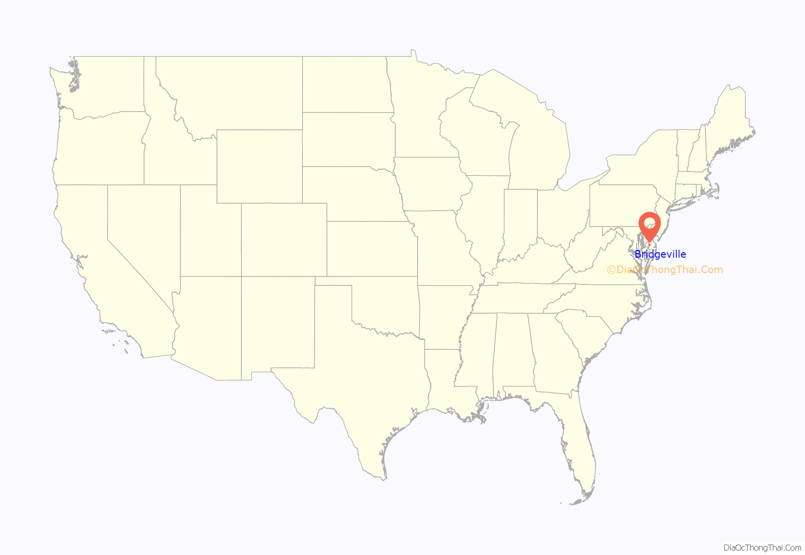
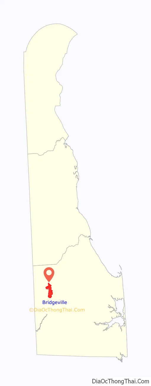
Bridgeville location map. Where is Bridgeville town?
History
The town of Bridgeville is the oldest community in western Sussex County. Records of land transactions which were made in the first quarter of the 18th century suggest that a significant agricultural community already existed in the area by that period. A small group of houses had been built along the present Main Street by the turn of the 19th century; this settlement was known as “Bridge Branch” for the nearby stream, which was crossed by a bridge as early as 1730. By 1804, the community had grown sufficiently to merit the establishment of a post office. The village was formally recognized in 1810, when an Act of the Assembly was passed to establish its name as “Bridgeville”. Early 19th century industries included a water-powered mill, tanyard, charcoal furnace, and fruit-drying business. The growth of the town accelerated greatly upon the arrival of the Delaware Railroad in Bridgeville in 1856. The town was subsequently laid out for development by William Cannon (1809-1865).
Bridgeville’s population was 613 in 1900.
Bridgeville was named for a bridge that was built in 1730 that was located over a tributary of the Nanticoke River.
The Bridgeville Historic District, Bridgeville Public Library, Eratt House, Old Bridgeville Fire House, Ricards House-Linden Hall, Scott’s Store, Sudler House, and Trinity Methodist Episcopal Church are listed on the National Register of Historic Places.
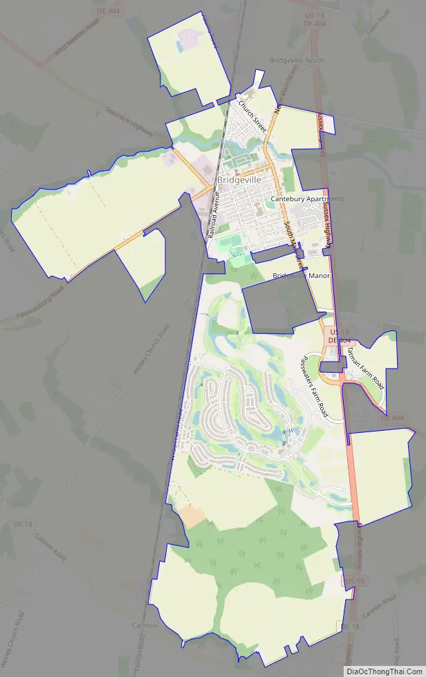
Bridgeville Road Map
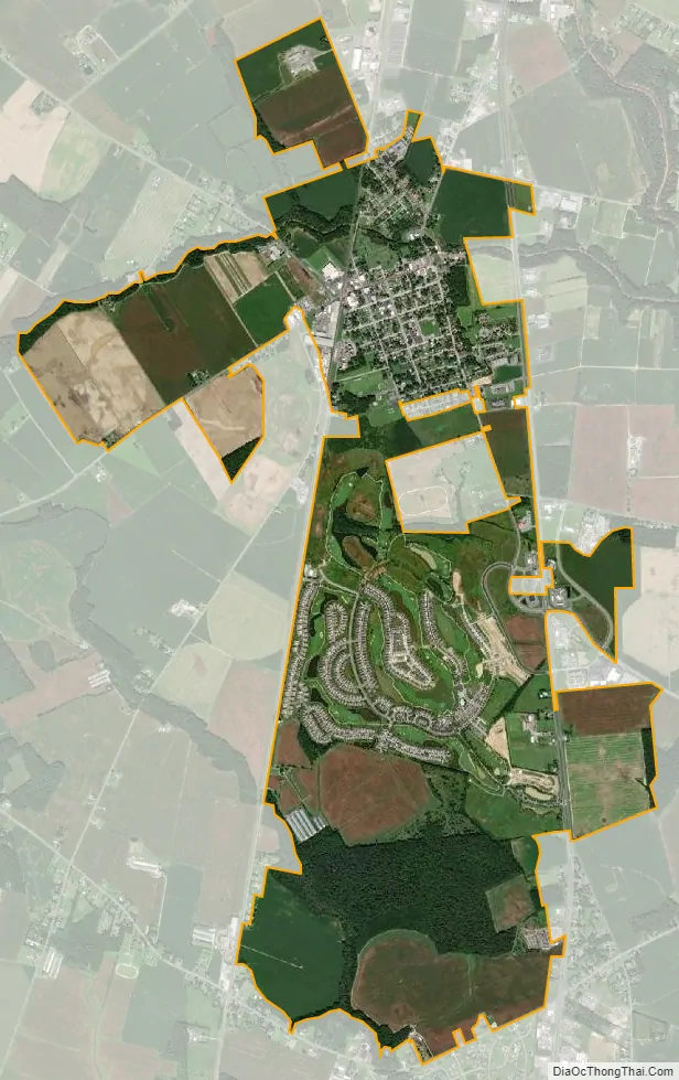
Bridgeville city Satellite Map
Geography
Bridgeville is located at 38°44′33″N 75°36′16″W / 38.74250°N 75.60444°W / 38.74250; -75.60444 (38.7426137, –75.6043714).
According to the United States Census Bureau, the town has a total area of 0.8 square miles (2.1 km), all land.
See also
Map of Delaware State and its subdivision: Map of other states:- Alabama
- Alaska
- Arizona
- Arkansas
- California
- Colorado
- Connecticut
- Delaware
- District of Columbia
- Florida
- Georgia
- Hawaii
- Idaho
- Illinois
- Indiana
- Iowa
- Kansas
- Kentucky
- Louisiana
- Maine
- Maryland
- Massachusetts
- Michigan
- Minnesota
- Mississippi
- Missouri
- Montana
- Nebraska
- Nevada
- New Hampshire
- New Jersey
- New Mexico
- New York
- North Carolina
- North Dakota
- Ohio
- Oklahoma
- Oregon
- Pennsylvania
- Rhode Island
- South Carolina
- South Dakota
- Tennessee
- Texas
- Utah
- Vermont
- Virginia
- Washington
- West Virginia
- Wisconsin
- Wyoming


