Camden is a town in Kent County, Delaware, United States. It is part of the Dover, Delaware Metropolitan Statistical Area. The population was 3,715 in 2020.
| Name: | Camden town |
|---|---|
| LSAD Code: | 43 |
| LSAD Description: | town (suffix) |
| State: | Delaware |
| County: | Kent County |
| Elevation: | 39 ft (12 m) |
| Total Area: | 3.75 sq mi (9.70 km²) |
| Land Area: | 3.75 sq mi (9.70 km²) |
| Water Area: | 0.00 sq mi (0.00 km²) |
| Total Population: | 3,715 |
| Population Density: | 991.72/sq mi (382.92/km²) |
| ZIP code: | 19934 |
| Area code: | 302 |
| FIPS code: | 1010760 |
| GNISfeature ID: | 213746 |
| Website: | camden.delaware.gov |
Online Interactive Map
Click on ![]() to view map in "full screen" mode.
to view map in "full screen" mode.
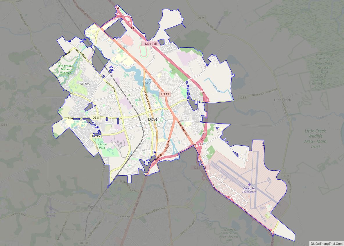
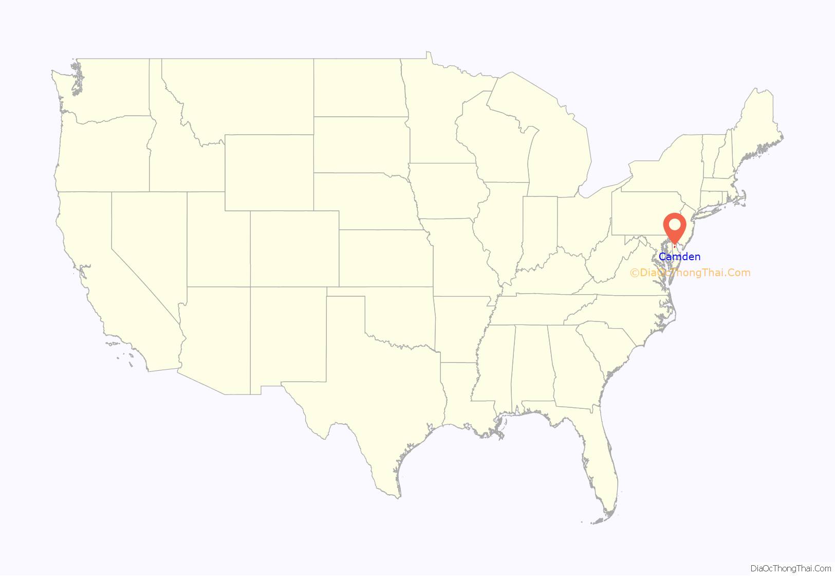
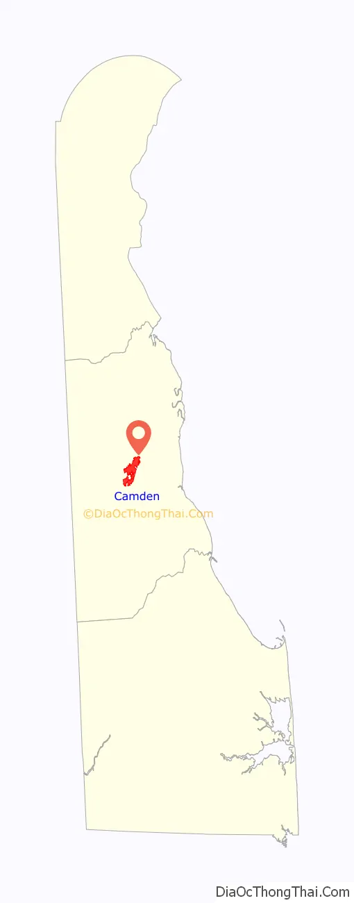
Camden location map. Where is Camden town?
History
Camden was established in 1783 as a community originally known as Mifflin’s Crossroads. The community of Mifflin’s Crossroads was a Quaker settlement laid out by Daniel Mifflin on the Piccadilly tract. The town originally gained some commercial trade through wharves in nearby Forest Landing and Lebanon on the St. Jones River. From these wharves, regular boat service connected the area to Philadelphia and New York City, with local merchants shipping cordwood, staves, grain, and Spanish-oak bark. The Delaware Railroad was built through nearby Wyoming in the 1850s and expanded the market for local farm products, bringing increased prosperity to Camden. The town has numerous historic properties and part of it is designated as the Camden Historic District. In addition, Brecknock, Camden Friends Meetinghouse, Star Hill AME Church, and Zion African Methodist Episcopal Church are all listed individually on the National Register of Historic Places.
On February 22, 1975, a vote was held to merge with the bordering town of Wyoming; the residents of Camden voted 117 to 49 in favor of merging the towns, but the measure failed when Wyoming residents voted against the measure by a similar proportion in reverse: 113 against to 78 in favor. The Wyoming town council had previously opposed a merger attempt in 1967.
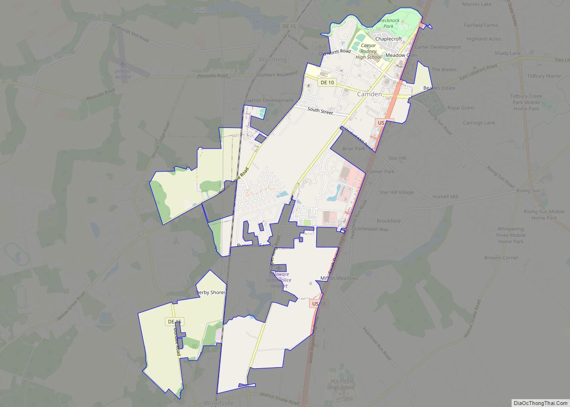
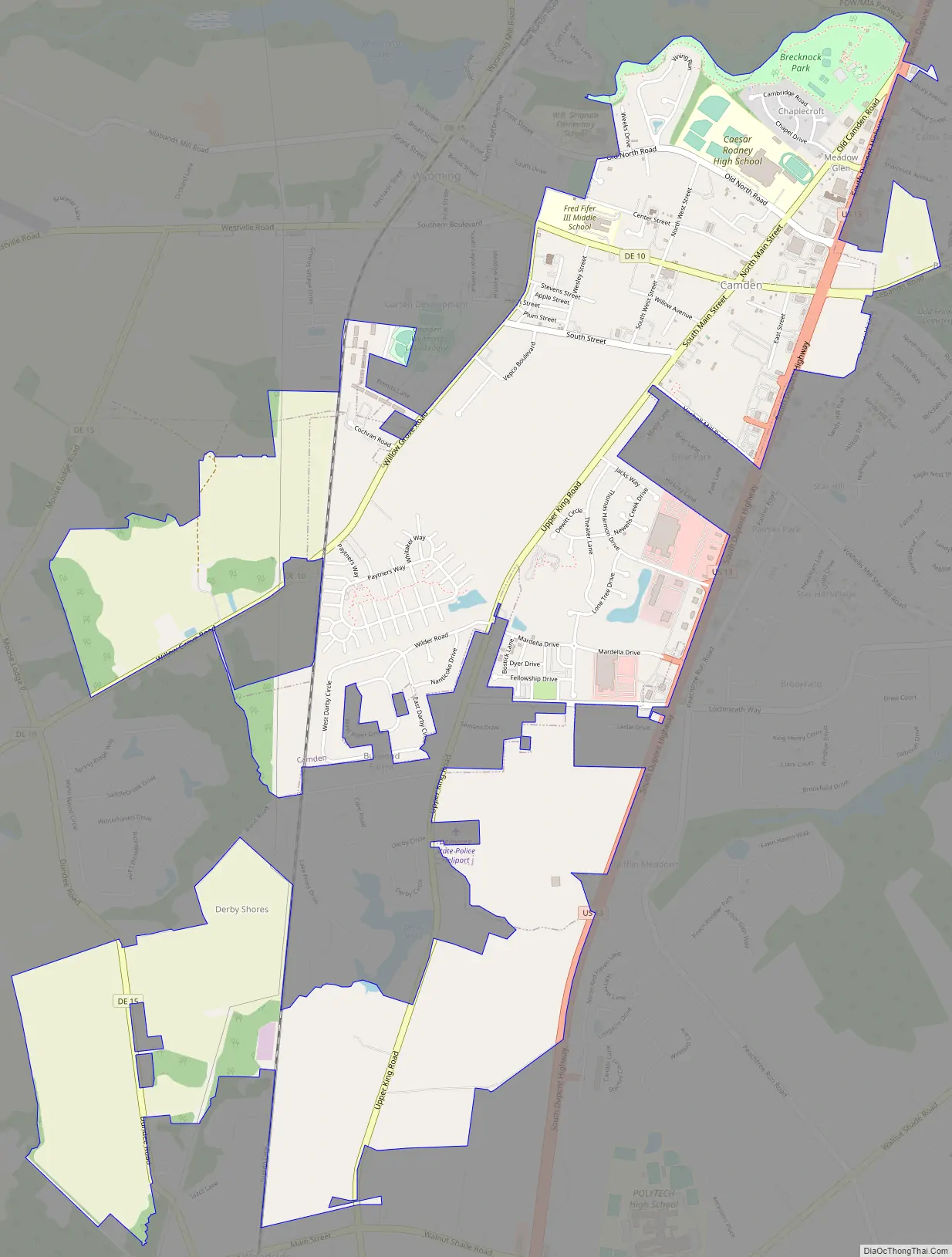
Camden Road Map
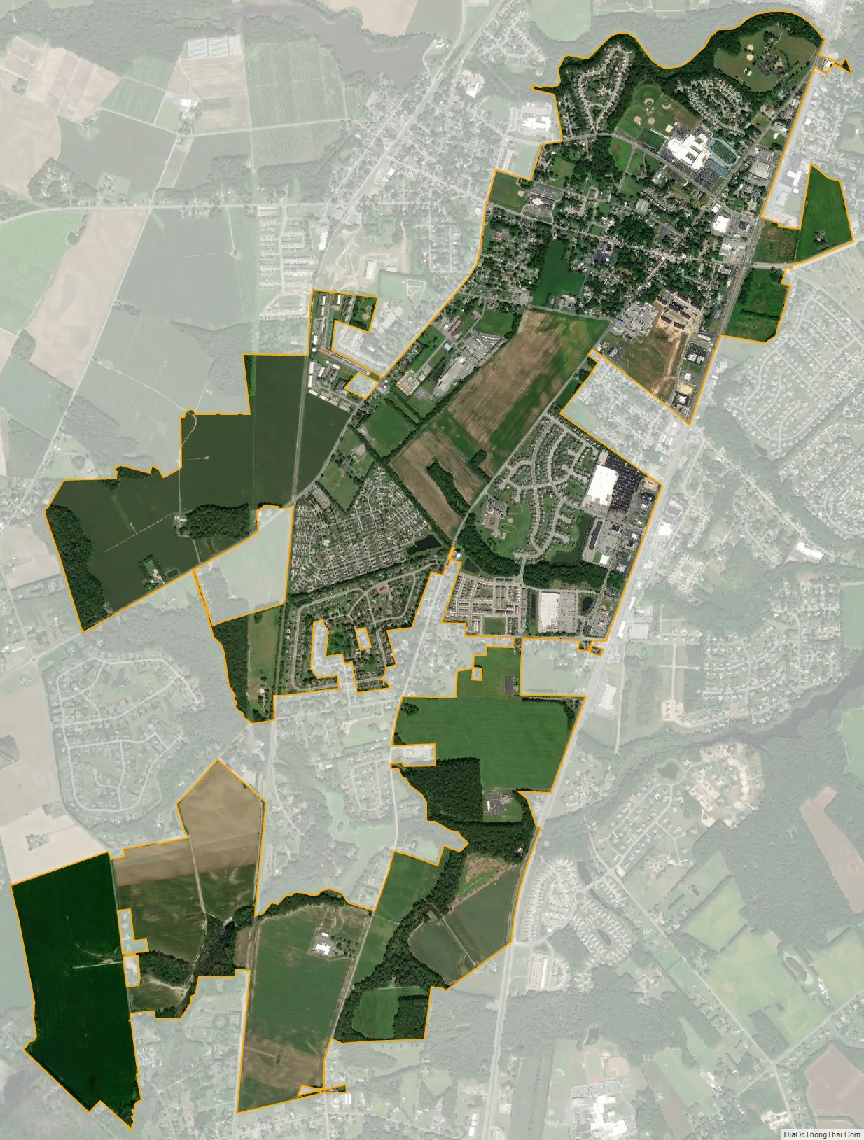
Camden city Satellite Map
Geography
Camden is located at 39°06′48″N 75°32′31″W / 39.11333°N 75.54194°W / 39.11333; -75.54194 (39.1134458, –75.5418687).
According to the United States Census Bureau, the town has a total area of 1.9 square miles (4.9 km), all land.
Because of the small size of this town, and its even smaller neighbor of Wyoming, the U.S. Postal Service has jointly assigned the towns a single ZIP code, 19934, which is designated as the Camden-Wyoming ZIP code.
Climate
The climate in this area is characterized by hot, humid summers and generally mild to cool winters. According to the Köppen Climate Classification system, Camden has a humid subtropical climate, abbreviated “Cfa” on climate maps.
See also
Map of Delaware State and its subdivision: Map of other states:- Alabama
- Alaska
- Arizona
- Arkansas
- California
- Colorado
- Connecticut
- Delaware
- District of Columbia
- Florida
- Georgia
- Hawaii
- Idaho
- Illinois
- Indiana
- Iowa
- Kansas
- Kentucky
- Louisiana
- Maine
- Maryland
- Massachusetts
- Michigan
- Minnesota
- Mississippi
- Missouri
- Montana
- Nebraska
- Nevada
- New Hampshire
- New Jersey
- New Mexico
- New York
- North Carolina
- North Dakota
- Ohio
- Oklahoma
- Oregon
- Pennsylvania
- Rhode Island
- South Carolina
- South Dakota
- Tennessee
- Texas
- Utah
- Vermont
- Virginia
- Washington
- West Virginia
- Wisconsin
- Wyoming