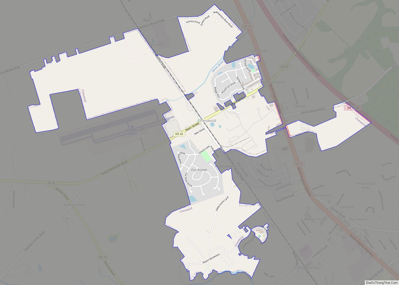
Cheswold is a town in Kent County in the U.S. state of Delaware. It is part of the Dover, Delaware Metropolitan Statistical Area. The population was 1,923 in 2020.
| Name: | Cheswold town |
|---|---|
| LSAD Code: | 43 |
| LSAD Description: | town (suffix) |
| State: | Delaware |
| County: | Kent County |
| Elevation: | 36 ft (11 m) |
| Total Area: | 1.84 sq mi (4.76 km²) |
| Land Area: | 1.84 sq mi (4.76 km²) |
| Water Area: | 0.00 sq mi (0.00 km²) |
| Total Population: | 1,923 |
| Population Density: | 1,046.25/sq mi (404.00/km²) |
| ZIP code: | 19936 |
| Area code: | 302 |
| FIPS code: | 1014660 |
| GNISfeature ID: | 213795 |
| Website: | cheswold.delaware.gov |
Online Interactive Map
Click on ![]() to view map in "full screen" mode.
to view map in "full screen" mode.
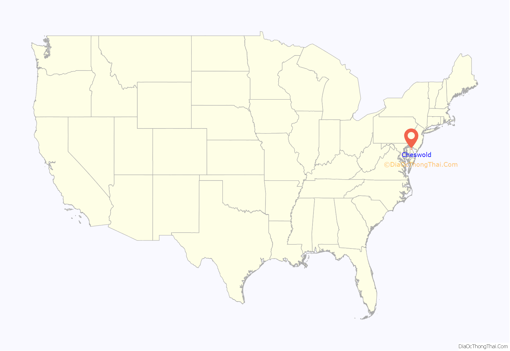
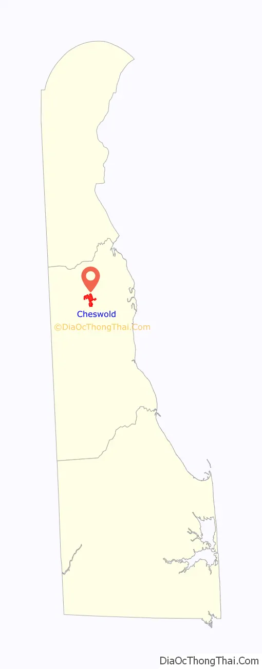
Cheswold location map. Where is Cheswold town?
History
The town was incorporated in 1856 following the construction of the Delaware Railroad. When the town was founded, the population consisted of Lenni Lenape, blacks, and whites, who were mainly Dutch and referred to as Moors. The town was home to a railroad station called Leipsic Station, named for the nearby town of Leipsic. The community became a shipping point for grain and fruit that was grown in the area. By 1860, the town had 35 homes, three general stores, a wheelwright, a brickyard, and a grain warehouse.
Prior to 1888, Cheswold was called Moorton after landowner James S. Moore. The town was also known as Leipsic Station after the railroad station. In 1888, a contest was held to rename the town, and Cheswold was chosen. Cheswold is a combination of “chess”, from a large group of chestnut trees, and “wold”, which stands for forest of trees.
Cheswold is the birthplace J. Caleb Boggs, who served as Governor of Delaware, three terms as U.S. Representative, and two terms as U.S. Senator. The town was home to the Cheswold Tigers, a minor league baseball team that existed from 1950 to 1960 and was known for a winning record. In the 21st century, Cheswold faced a period of financial issues but has seen its economy improve.
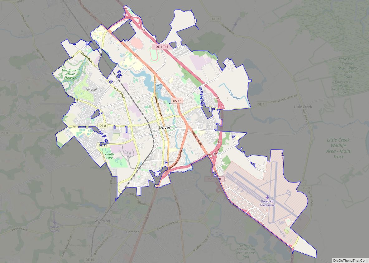
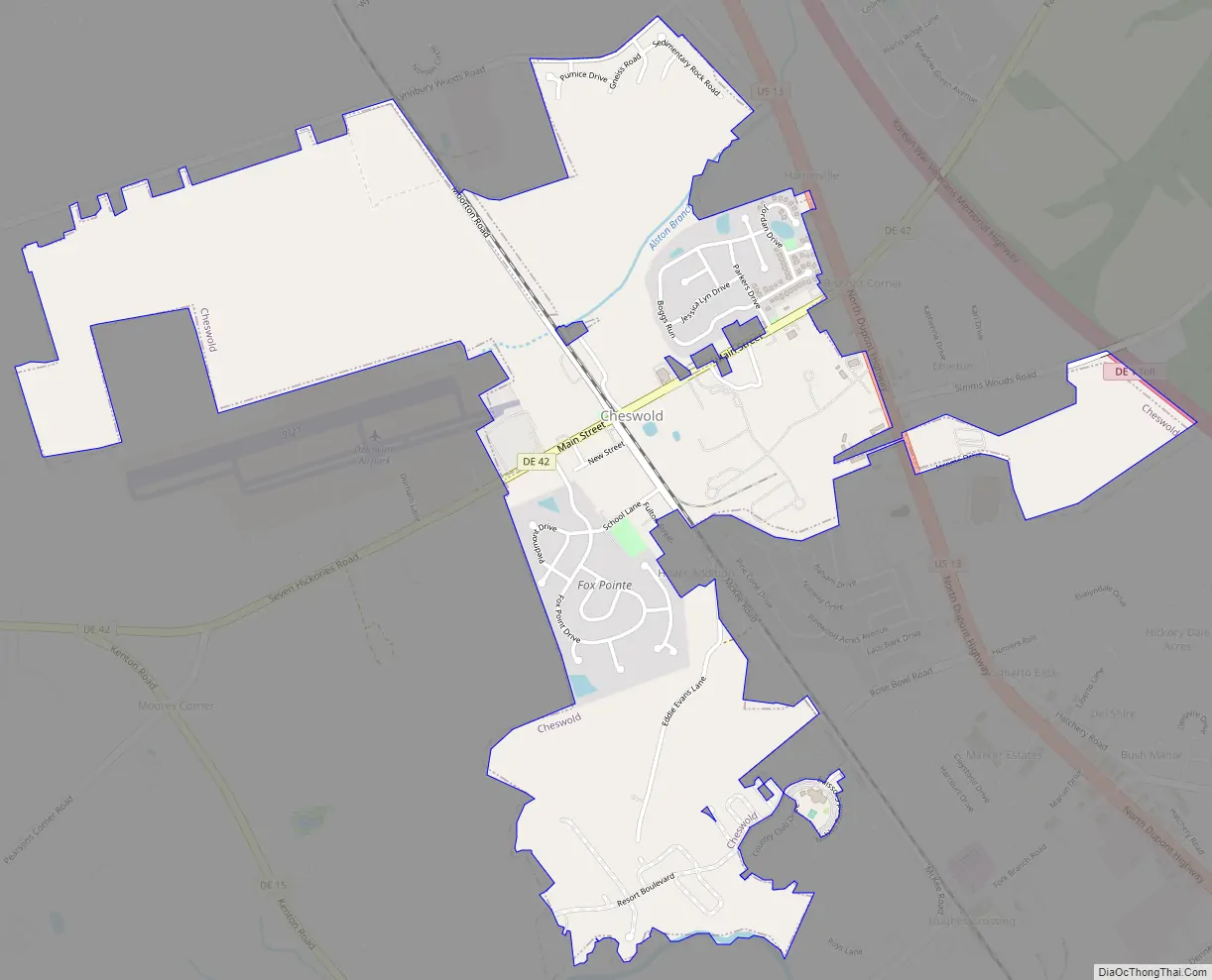
Cheswold Road Map
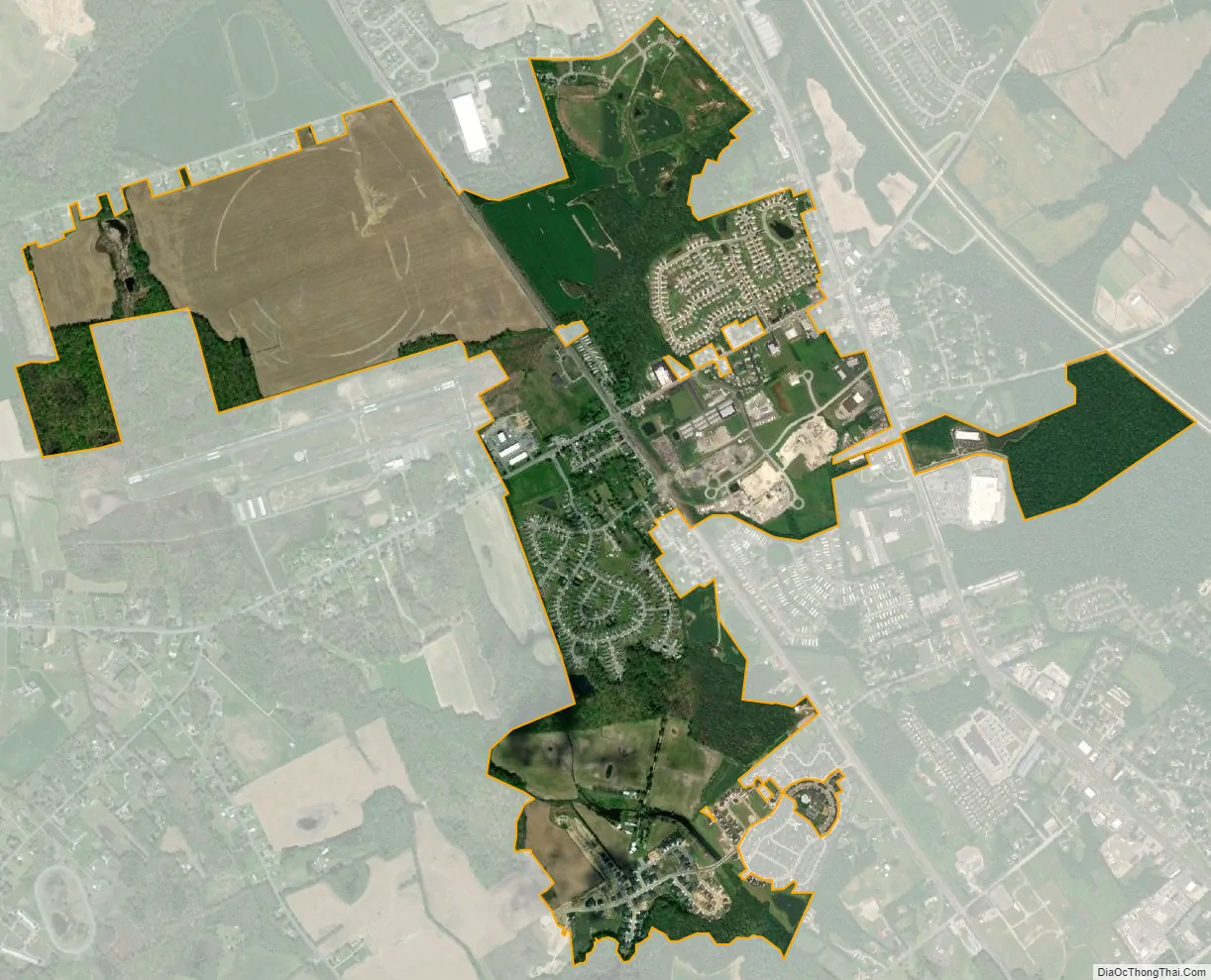
Cheswold city Satellite Map
Geography
Cheswold is located at 39°13′09″N 75°35′09″W / 39.21917°N 75.58583°W / 39.21917; -75.58583 (39.2192786, –75.5857596).
According to the United States Census Bureau, the town has a total area of 0.4 square miles (1.0 km), all land.
The Old Town area of Cheswold is located at the intersection of Main Street (Delaware Route 42) and Commerce Street west of the Delmarva Central Railroad tracks and serves as the oldest settled part of the town. Cheswold is made up of several residential communities, including Parkers Run, Strimmels Mobile Home Park, Fox Pointe Mobile Home Park, Blanton Mobile Home Park, Stonington, and Nobles Pond.
Cheswold has a post office for P.O. boxes with a ZIP code of 19936. However, the delivery of mail in Cheswold is handled by the Dover post office with a ZIP code of 19904. The Cheswold name may be used for mail delivered to addresses in town with the 19904 ZIP code.
Climate
The climate in this area is characterized by hot, humid summers and generally mild to cool winters. According to the Köppen Climate Classification system, Cheswold has a humid subtropical climate, abbreviated “Cfa” on climate maps.
See also
Map of Delaware State and its subdivision: Map of other states:- Alabama
- Alaska
- Arizona
- Arkansas
- California
- Colorado
- Connecticut
- Delaware
- District of Columbia
- Florida
- Georgia
- Hawaii
- Idaho
- Illinois
- Indiana
- Iowa
- Kansas
- Kentucky
- Louisiana
- Maine
- Maryland
- Massachusetts
- Michigan
- Minnesota
- Mississippi
- Missouri
- Montana
- Nebraska
- Nevada
- New Hampshire
- New Jersey
- New Mexico
- New York
- North Carolina
- North Dakota
- Ohio
- Oklahoma
- Oregon
- Pennsylvania
- Rhode Island
- South Carolina
- South Dakota
- Tennessee
- Texas
- Utah
- Vermont
- Virginia
- Washington
- West Virginia
- Wisconsin
- Wyoming