Dagsboro is a town in Sussex County, Delaware, United States. The population was 805 at the 2010 census. It is part of the Salisbury, Maryland-Delaware Metropolitan Statistical Area.
| Name: | Dagsboro town |
|---|---|
| LSAD Code: | 43 |
| LSAD Description: | town (suffix) |
| State: | Delaware |
| County: | Sussex County |
| Elevation: | 26 ft (8 m) |
| Total Area: | 1.44 sq mi (3.73 km²) |
| Land Area: | 1.44 sq mi (3.73 km²) |
| Water Area: | 0.00 sq mi (0.00 km²) |
| Total Population: | 870 |
| Population Density: | 605.01/sq mi (233.52/km²) |
| ZIP code: | 19939 |
| Area code: | 302 |
| FIPS code: | 1018950 |
| GNISfeature ID: | 213855 |
| Website: | dagsboro.delaware.gov |
Online Interactive Map
Click on ![]() to view map in "full screen" mode.
to view map in "full screen" mode.
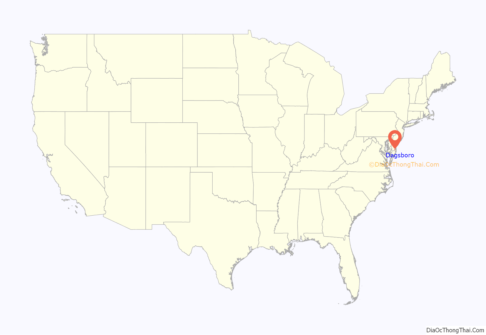
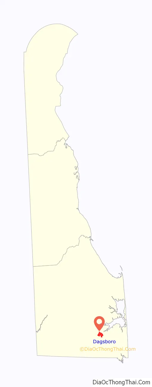
Dagsboro location map. Where is Dagsboro town?
History
Dagsboro, incorporated in the early 1900s, is a town that is energized in summer by Delaware Route 26 beach traffic. The town, in the Indian River School District, was founded in 1747 and has been known as Blackfoot Town, Dagsbury and Dagsborough. It was named for John Dagworthy (1721–1784), a brigadier general of the Sussex County Militia during the American Revolutionary War.
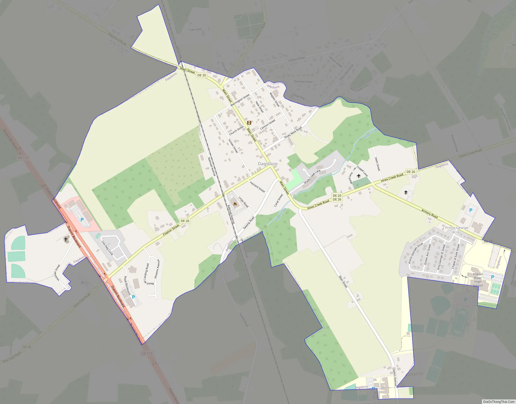
Dagsboro Road Map
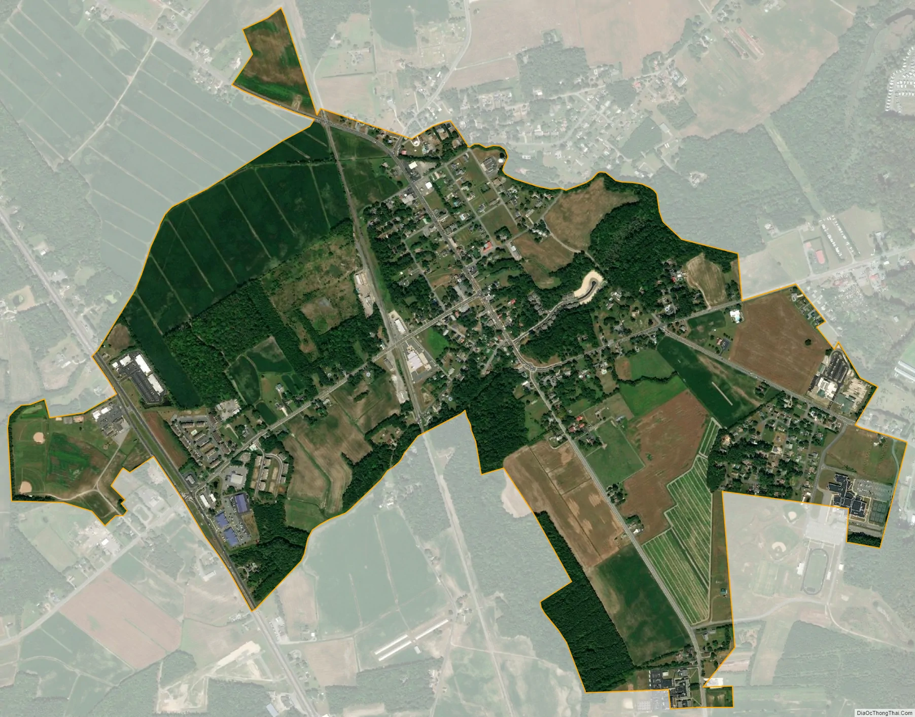
Dagsboro city Satellite Map
Geography
Dagsboro is located at 38°32′57″N 75°14′45″W / 38.54917°N 75.24583°W / 38.54917; -75.24583 (38.5492801, –75.2457443).
According to the United States Census Bureau, the town has a total area of 2.3 square miles (6.0 km), all land.
See also
Map of Delaware State and its subdivision: Map of other states:- Alabama
- Alaska
- Arizona
- Arkansas
- California
- Colorado
- Connecticut
- Delaware
- District of Columbia
- Florida
- Georgia
- Hawaii
- Idaho
- Illinois
- Indiana
- Iowa
- Kansas
- Kentucky
- Louisiana
- Maine
- Maryland
- Massachusetts
- Michigan
- Minnesota
- Mississippi
- Missouri
- Montana
- Nebraska
- Nevada
- New Hampshire
- New Jersey
- New Mexico
- New York
- North Carolina
- North Dakota
- Ohio
- Oklahoma
- Oregon
- Pennsylvania
- Rhode Island
- South Carolina
- South Dakota
- Tennessee
- Texas
- Utah
- Vermont
- Virginia
- Washington
- West Virginia
- Wisconsin
- Wyoming


