Elsmere is a town in New Castle County, Delaware, United States, bordering the city of Wilmington along Wilmington’s western border. According to the 2010 Census, the population of the town is 6,131.
| Name: | Elsmere town |
|---|---|
| LSAD Code: | 43 |
| LSAD Description: | town (suffix) |
| State: | Delaware |
| County: | New Castle County |
| Incorporated: | 1909 |
| Elevation: | 98 ft (30 m) |
| Total Area: | 0.99 sq mi (2.56 km²) |
| Land Area: | 0.99 sq mi (2.56 km²) |
| Water Area: | 0.00 sq mi (0.00 km²) |
| Total Population: | 6,229 |
| Population Density: | 6,311.04/sq mi (2,437.75/km²) |
| ZIP code: | 19805, 19804 |
| Area code: | 302 |
| FIPS code: | 1024540 |
| GNISfeature ID: | 213941 |
| Website: | https://www.townofelsmere.com/ |
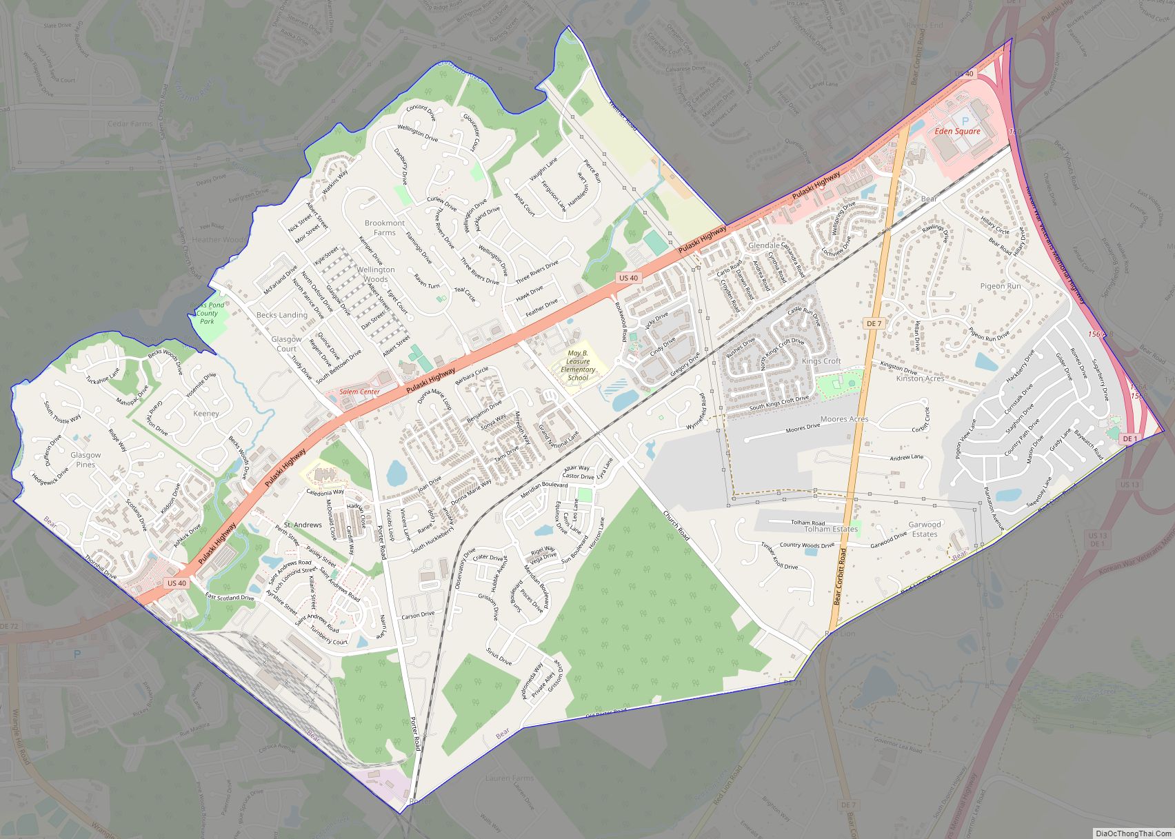
Online Interactive Map
Click on ![]() to view map in "full screen" mode.
to view map in "full screen" mode.
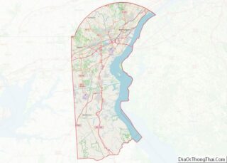
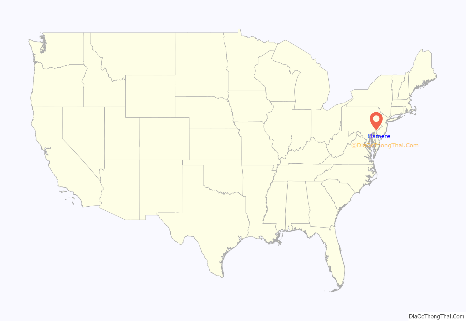
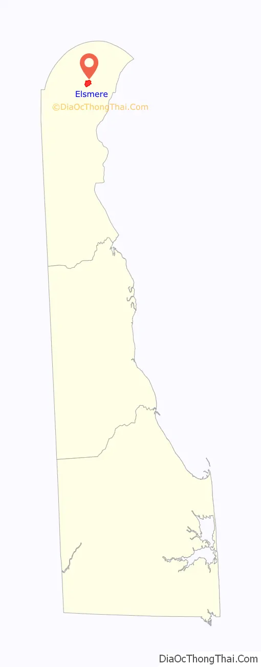
Elsmere location map. Where is Elsmere town?
History
Elsmere dates back to 1886 when real estate developer Joshua Heald bought farmland and converted it into houses, building the first suburb in northern Delaware. The community was built at an intersection of railroad lines and allowed working-class families easy access to Wilmington. Trolley lines were later built leading to Elsmere. In 1909, Elsmere was incorporated as a town.
During the 1910s, the Delaware State Fair Association purchased land and built a new fairgrounds within Elsmere’s town limit. The grounds, including a racecourse for horses, cars and motorcycles, were located south of New Road and Wilmington Avenue and west of the previously established streets. This land became the site of the Delaware State Fair from 1917 to 1928, and provided a large parking area and ready access from the nearby trolley line. Agricultural exhibits provided the backbone of the fair, but in addition to the races, the summer attraction also included horse and dog shows, vaudeville acts, music, and fireworks. After 1928, the State Fair had moved to Harrington, but the grandstand and the races remained until 1943, when the property was converted to land for residential housing.
In 1950, a 336-bed Veteran’s Administration hospital opened on the western edge of town. This was the ninth VA hospital built after the conclusion of World War II.
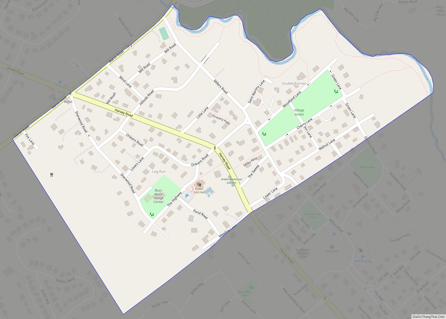
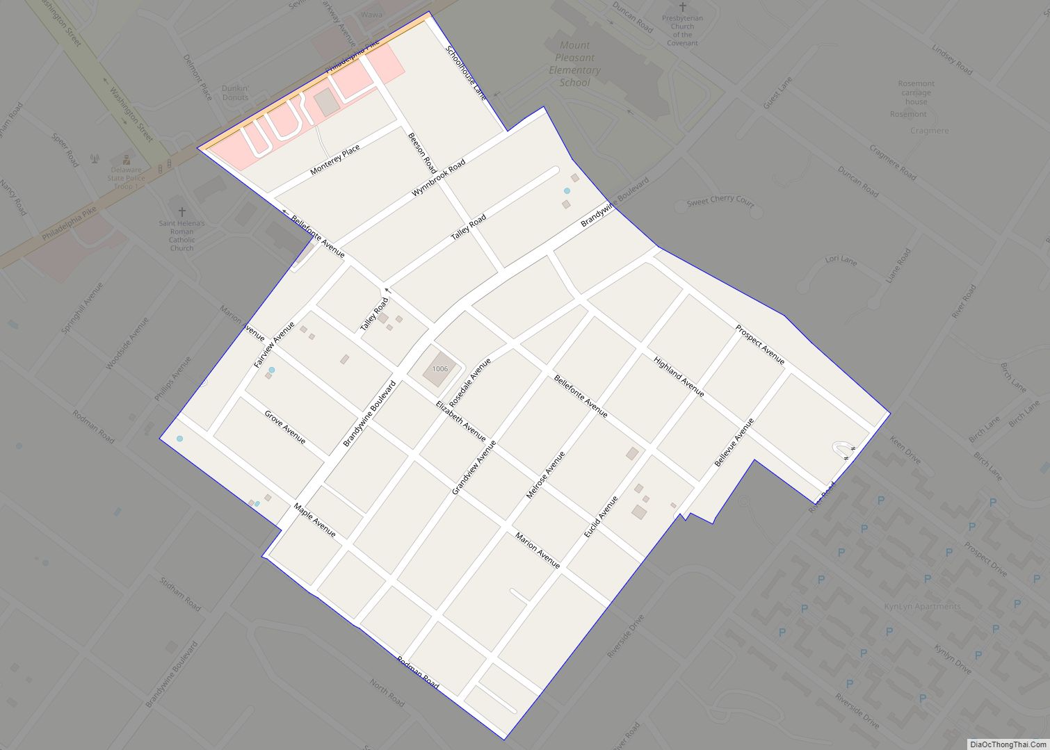
Elsmere Road Map
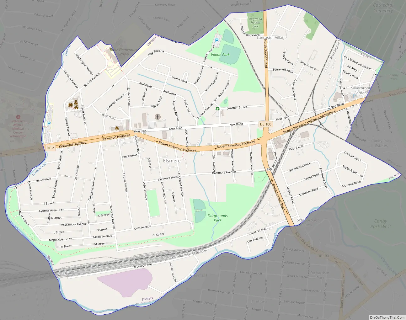
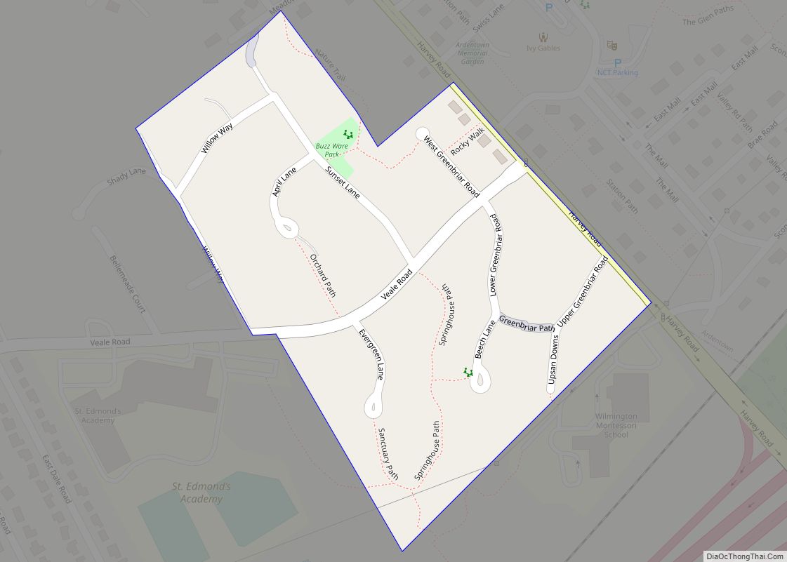
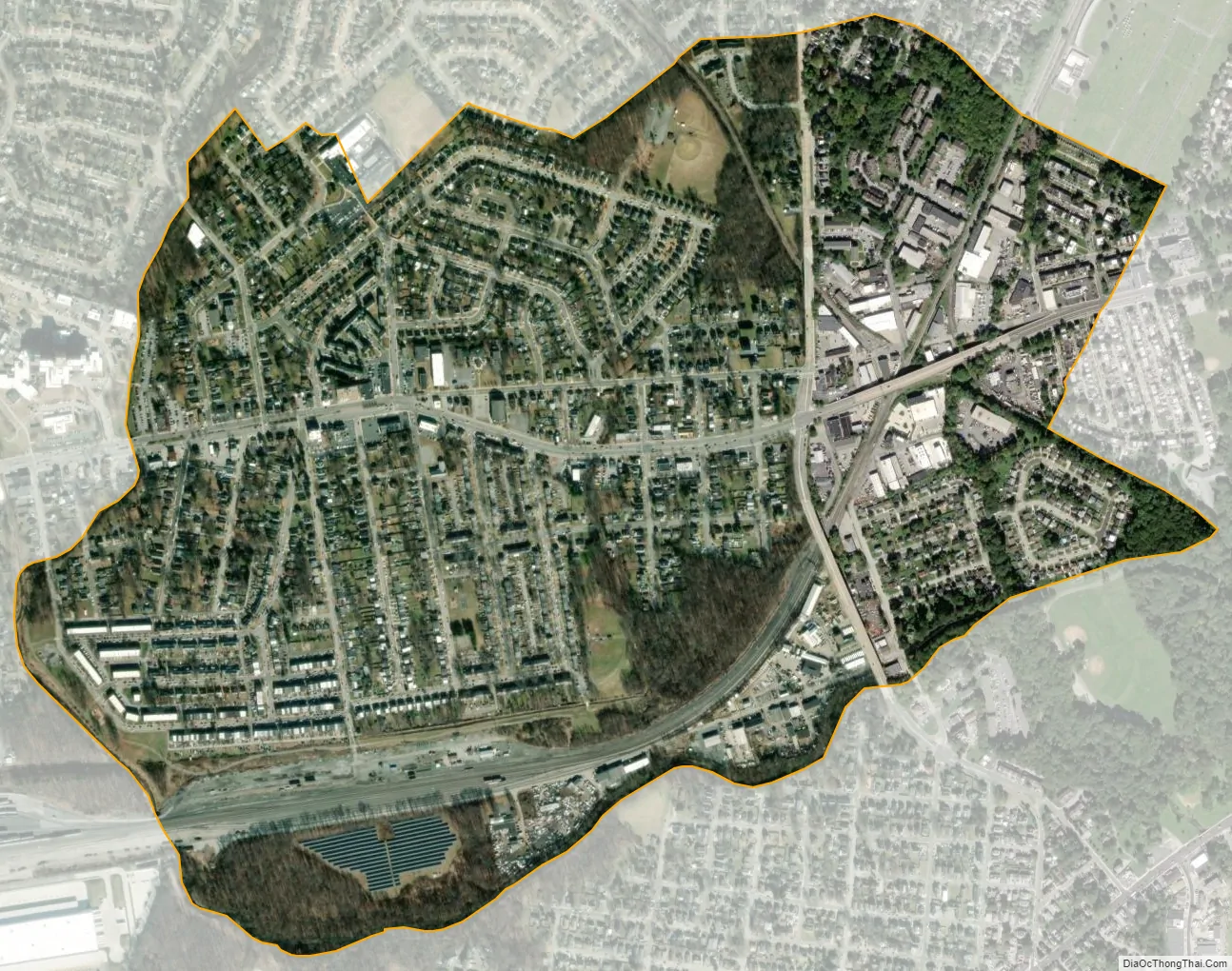
Elsmere city Satellite Map
Geography
Elsmere is located at 39°44′21″N 75°35′53″W / 39.73917°N 75.59806°W / 39.73917; -75.59806 (39.7392796, –75.5979812).
According to the United States Census Bureau, the town has a total area of 1.0 square mile (2.6 km), all land. Elsmere is 1.5 miles away from Wilmington
Climate
The climate in this area is characterized by hot, humid summers and generally mild to cool winters. According to the Köppen Climate Classification system, Elsmere has a humid subtropical climate, abbreviated “Cfa” on climate maps.
See also
Map of Delaware State and its subdivision: Map of other states:- Alabama
- Alaska
- Arizona
- Arkansas
- California
- Colorado
- Connecticut
- Delaware
- District of Columbia
- Florida
- Georgia
- Hawaii
- Idaho
- Illinois
- Indiana
- Iowa
- Kansas
- Kentucky
- Louisiana
- Maine
- Maryland
- Massachusetts
- Michigan
- Minnesota
- Mississippi
- Missouri
- Montana
- Nebraska
- Nevada
- New Hampshire
- New Jersey
- New Mexico
- New York
- North Carolina
- North Dakota
- Ohio
- Oklahoma
- Oregon
- Pennsylvania
- Rhode Island
- South Carolina
- South Dakota
- Tennessee
- Texas
- Utah
- Vermont
- Virginia
- Washington
- West Virginia
- Wisconsin
- Wyoming