Frankford is a town in Sussex County, Delaware, United States. The population was 847 at the 2010 census, an increase of 18.6% over the previous decade. It is part of the Salisbury, Maryland-Delaware Metropolitan Statistical Area.
| Name: | Frankford town |
|---|---|
| LSAD Code: | 43 |
| LSAD Description: | town (suffix) |
| State: | Delaware |
| County: | Sussex County |
| Elevation: | 36 ft (11 m) |
| Total Area: | 0.73 sq mi (1.89 km²) |
| Land Area: | 0.73 sq mi (1.89 km²) |
| Water Area: | 0.00 sq mi (0.00 km²) |
| Total Population: | 790 |
| Population Density: | 1,083.68/sq mi (418.47/km²) |
| ZIP code: | 19945 |
| Area code: | 302 |
| FIPS code: | 1028310 |
| GNISfeature ID: | 213980 |
| Website: | frankford.delaware.gov |
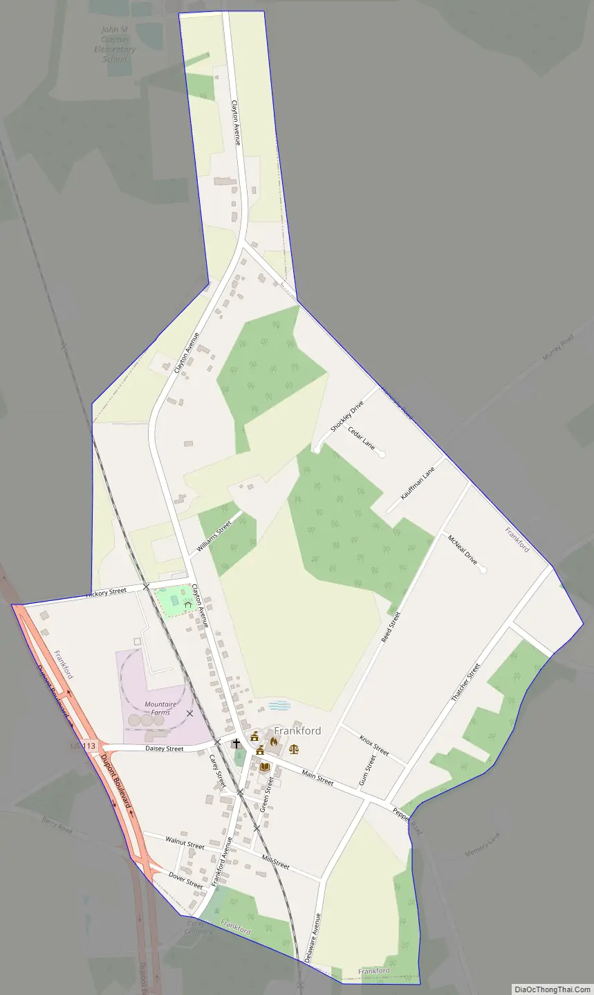
Online Interactive Map
Click on ![]() to view map in "full screen" mode.
to view map in "full screen" mode.
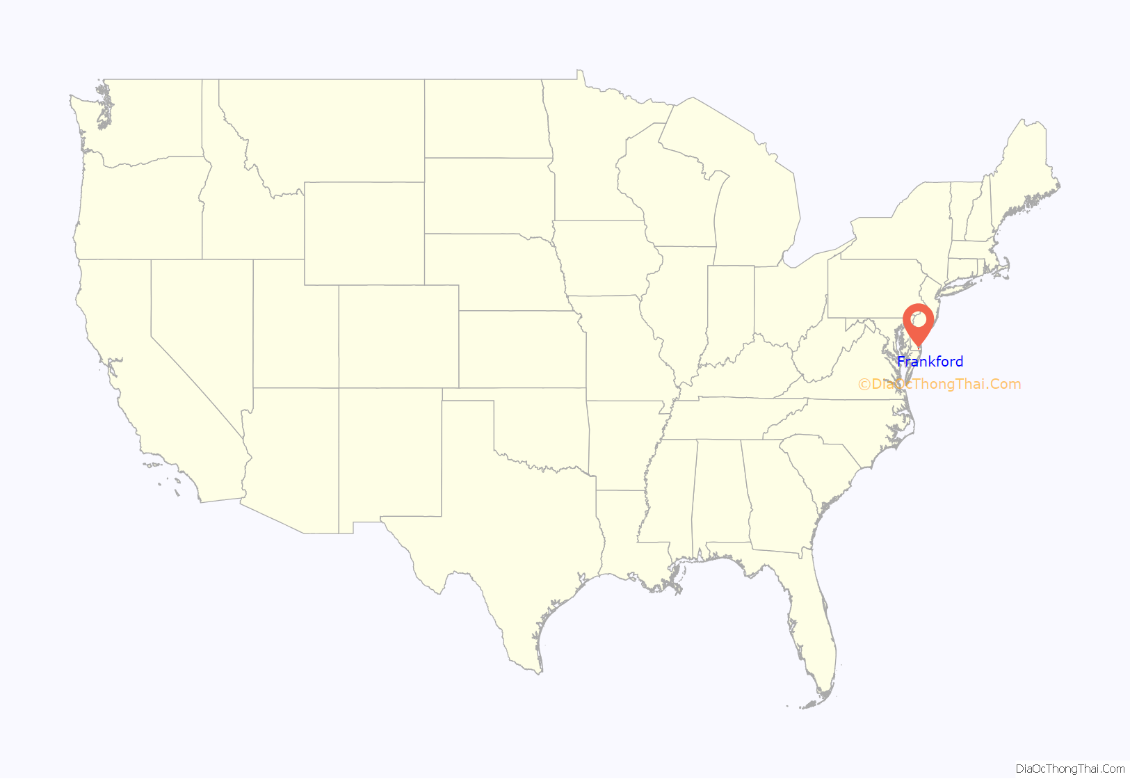
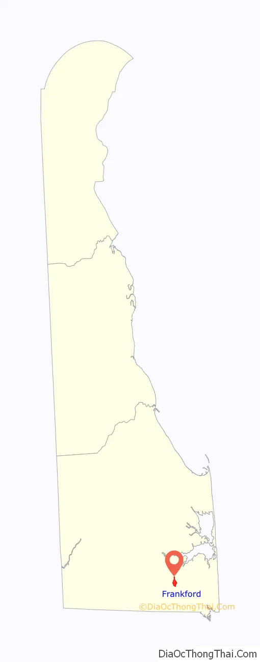
Frankford location map. Where is Frankford town?
History
Located on U.S. Route 113, Frankford, was founded in 1808 and incorporated in 1937. The town was named Frankford Village in 1848 upon the acquisition of a post office. The establishment of the Pennsylvania Railroad brought a hotel, commercial establishments and an opera house to make Frankford a thriving commercial and cultural center. Today, the town is a mere shadow of that golden era with just a handful of thriving businesses.
Frankford has a Family Diner that is known for its French Toast.
The Capt. Ebe Chandler House (1880) was added to the National Register of Historic Places in 1979.
Frankford Road Map
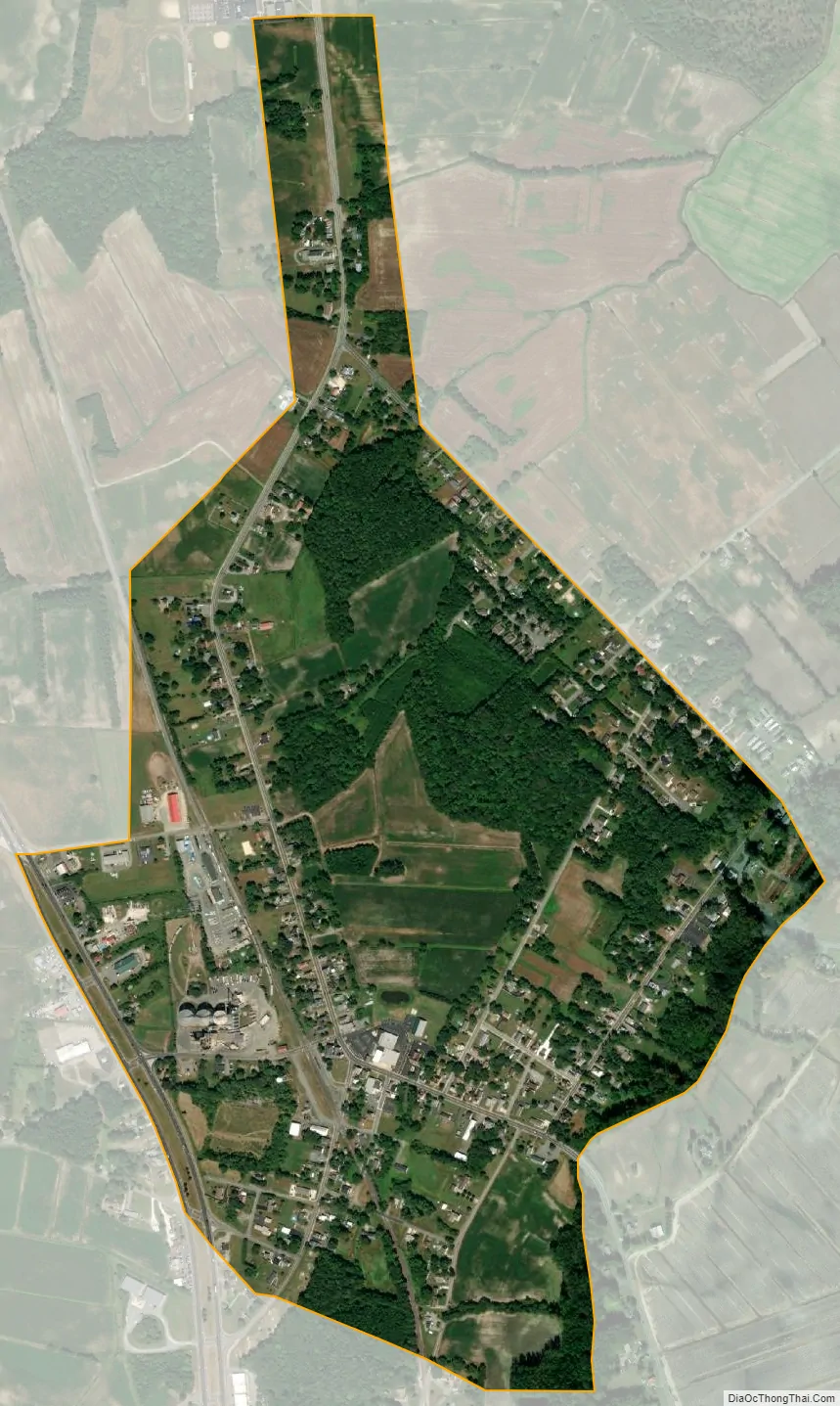
Frankford city Satellite Map
See also
Map of Delaware State and its subdivision: Map of other states:- Alabama
- Alaska
- Arizona
- Arkansas
- California
- Colorado
- Connecticut
- Delaware
- District of Columbia
- Florida
- Georgia
- Hawaii
- Idaho
- Illinois
- Indiana
- Iowa
- Kansas
- Kentucky
- Louisiana
- Maine
- Maryland
- Massachusetts
- Michigan
- Minnesota
- Mississippi
- Missouri
- Montana
- Nebraska
- Nevada
- New Hampshire
- New Jersey
- New Mexico
- New York
- North Carolina
- North Dakota
- Ohio
- Oklahoma
- Oregon
- Pennsylvania
- Rhode Island
- South Carolina
- South Dakota
- Tennessee
- Texas
- Utah
- Vermont
- Virginia
- Washington
- West Virginia
- Wisconsin
- Wyoming


