Kenton is a town in Kent County, Delaware, United States. It is part of the Dover metropolitan statistical area. The population was 215 in 2020.
| Name: | Kenton town |
|---|---|
| LSAD Code: | 43 |
| LSAD Description: | town (suffix) |
| State: | Delaware |
| County: | Kent County |
| Elevation: | 59 ft (18 m) |
| Total Area: | 0.18 sq mi (0.46 km²) |
| Land Area: | 0.18 sq mi (0.46 km²) |
| Water Area: | 0.00 sq mi (0.00 km²) |
| Total Population: | 215 |
| Population Density: | 1,221.59/sq mi (471.08/km²) |
| ZIP code: | 19955 |
| Area code: | 302 |
| FIPS code: | 1039100 |
| GNISfeature ID: | 214191 |
| Website: | kenton.delaware.gov |
Online Interactive Map
Click on ![]() to view map in "full screen" mode.
to view map in "full screen" mode.
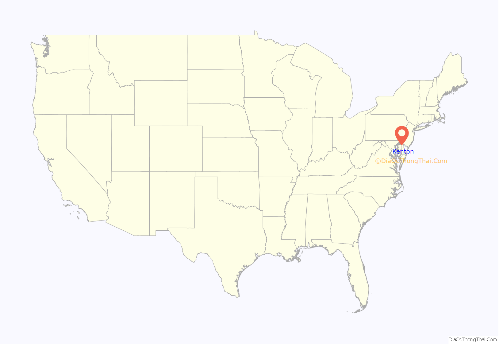
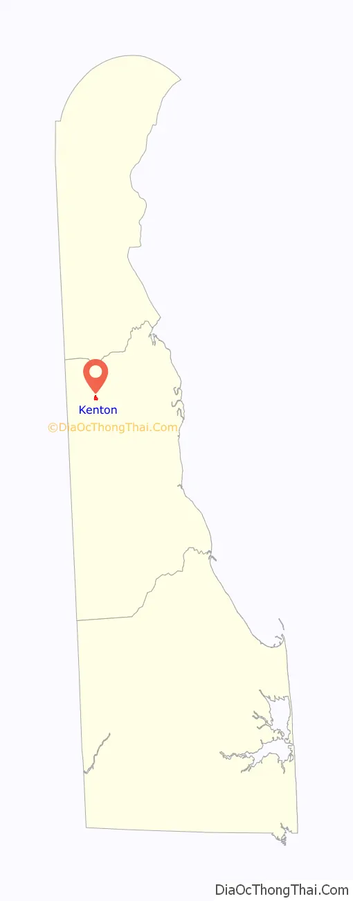
Kenton location map. Where is Kenton town?
History
The Village of Kenton is a crossroads community located at the intersection of Route 42 and Route 300 in Kenton Hundred, Delaware. The village dates from the last decade of the 18th century, but did not achieve its peak until the last half of the 19th century when the Delaware and Maryland Railroad line was put through from Clayton to Maryland.
Kenton was first laid out in 1796 by Philip Lewis who had begun to acquire property in the area five years before in 1791. The community was first known as Georgetown, then as Lewis Crossroads and finally, in 1806, by the name of Kenton.
The Kenton Historic District was listed on the National Register of Historic Places in 1983. Other sites at or near Kenton on the National Register of Historic Places are the: George Arnold House, Aspendale, Thomas Attix House, J. F. Betz House, Benjamin Blackiston House, W. D. Burrows House, Scene of Cheyney Clow’s Rebellion, Clark-Pratt House, Cooper House, Thomas Davis House, N. C. Downs House, T.H. Denny House, Green Mansion House (Kenton, Delaware), Robert Hill House, Hoffecker-Lockwood House, Alfred L. Hudson House, Kenton Post Office, Thomas Lamb Farm, Thomas Lamb House, Jefferson Lewis House, Delaplane McDaniel House, Poinsett House, Somerville, William Stevens House, James Williams House, and Wright-Carry House.
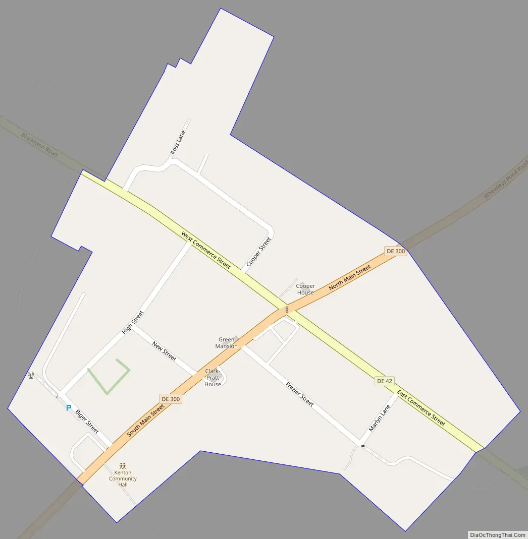
Kenton Road Map
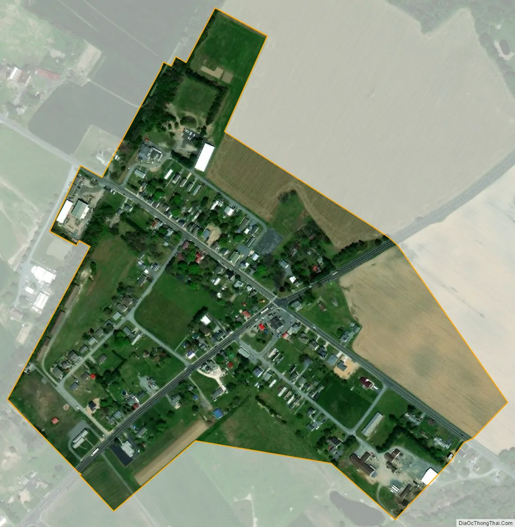
Kenton city Satellite Map
Geography
Kenton is located at 39°13′39″N 75°39′47″W / 39.2276115°N 75.6629847°W / 39.2276115; -75.6629847.
According to the United States Census Bureau, the town has a total area of 0.2 square miles (0.52 km), all land.
See also
Map of Delaware State and its subdivision: Map of other states:- Alabama
- Alaska
- Arizona
- Arkansas
- California
- Colorado
- Connecticut
- Delaware
- District of Columbia
- Florida
- Georgia
- Hawaii
- Idaho
- Illinois
- Indiana
- Iowa
- Kansas
- Kentucky
- Louisiana
- Maine
- Maryland
- Massachusetts
- Michigan
- Minnesota
- Mississippi
- Missouri
- Montana
- Nebraska
- Nevada
- New Hampshire
- New Jersey
- New Mexico
- New York
- North Carolina
- North Dakota
- Ohio
- Oklahoma
- Oregon
- Pennsylvania
- Rhode Island
- South Carolina
- South Dakota
- Tennessee
- Texas
- Utah
- Vermont
- Virginia
- Washington
- West Virginia
- Wisconsin
- Wyoming