Laurel is a town in Sussex County, Delaware, United States. The population was 3,708 at the time of the 2010 census. Laurel is part of the Salisbury, Maryland-Delaware Metropolitan Statistical Area. It once hosted the Laurel Blue Hens of the Eastern Shore Baseball League.
| Name: | Laurel town |
|---|---|
| LSAD Code: | 43 |
| LSAD Description: | town (suffix) |
| State: | Delaware |
| County: | Sussex County |
| Elevation: | 26 ft (8 m) |
| Total Area: | 2.86 sq mi (7.40 km²) |
| Land Area: | 2.77 sq mi (7.16 km²) |
| Water Area: | 0.09 sq mi (0.24 km²) |
| Total Population: | 3,865 |
| Population Density: | 1,397.32/sq mi (539.47/km²) |
| ZIP code: | 19956 |
| Area code: | 302 |
| FIPS code: | 1041310 |
| GNISfeature ID: | 214203 |
| Website: | www.townoflaurel.net |
Online Interactive Map
Click on ![]() to view map in "full screen" mode.
to view map in "full screen" mode.
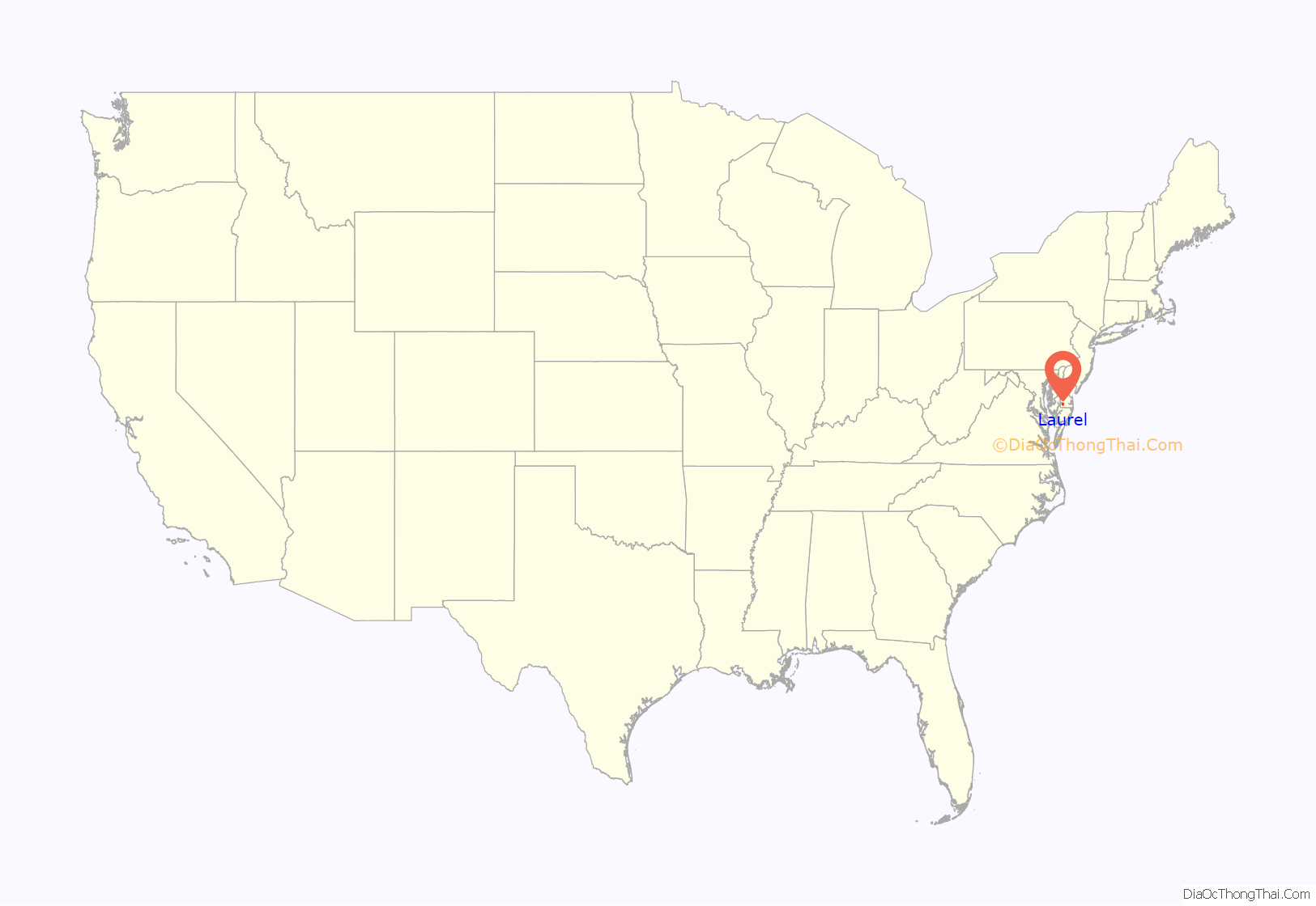
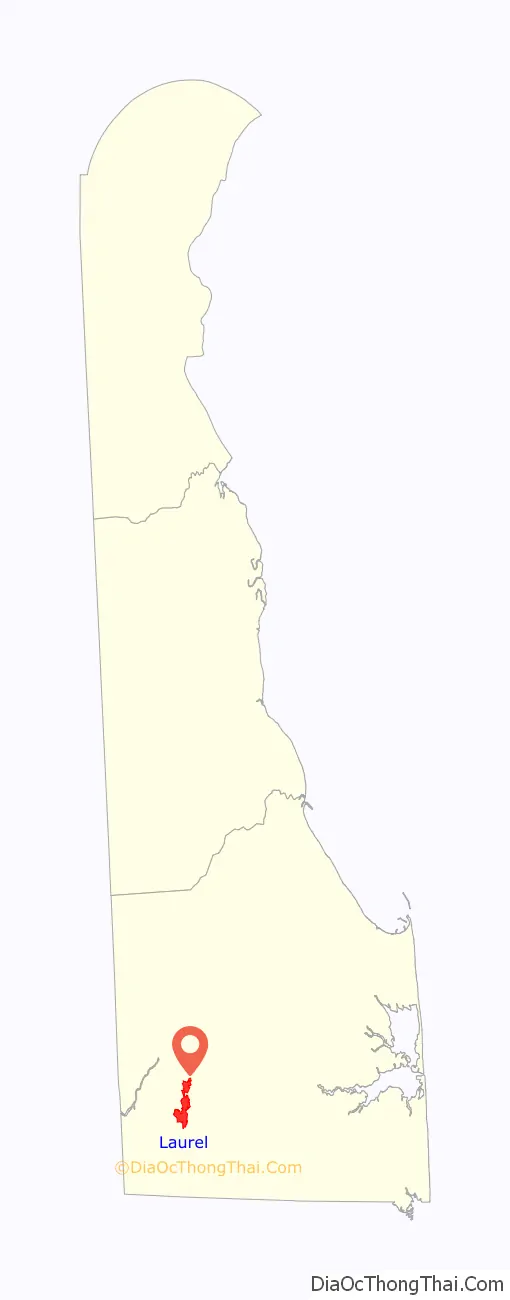
Laurel location map. Where is Laurel town?
History
The site of the town of Laurel was a Nanticoke Indian settlement known as Broad Creek Town during most of the eighteenth century. Its Nanticoke name is unknown. The Indian settlement was created on tracts known as Bachelor’s Delight and Greenland in 1711 when the government of Maryland, who originally claimed this part of Delaware, set aside land for the Nanticoke Indians. Nearly all the Indian settlers left within 50 years, relocating to western Pennsylvania. The present town was laid out along the Broad Creek in the 1790s and was named for the laurel bushes that grew alongside the creek.
On March 29, 1929, the town was merged with the neighboring town of North Laurel which comprised most of the current town north of Broad Creek (then known as Laurel River). This merger was not properly reported to the United States Census Bureau, which resulted in the North Laurel’s population not being included with the population of Laurel in the 1930 United States Census. As such, the US Census Bureau did not immediately make a change to the 1930 population statistics once the error was discovered, however it acknowledged in 1940 that the correct population for Laurel in 1930 was 2,542.
West Laurel is one of Delaware’s oldest free black communities. According to the Delaware Historical Society, West Laurel dates back to the 1790s. At some point in the 1870s Captain Theodore Marsh settled in West Laurel, brought property, broke the property down into plots and sold them to his shipmates. The graveyard for New Zion United Methodist church in West Laurel, which has been around since the early 1800s is the resting place of Marsh and his shipmates.
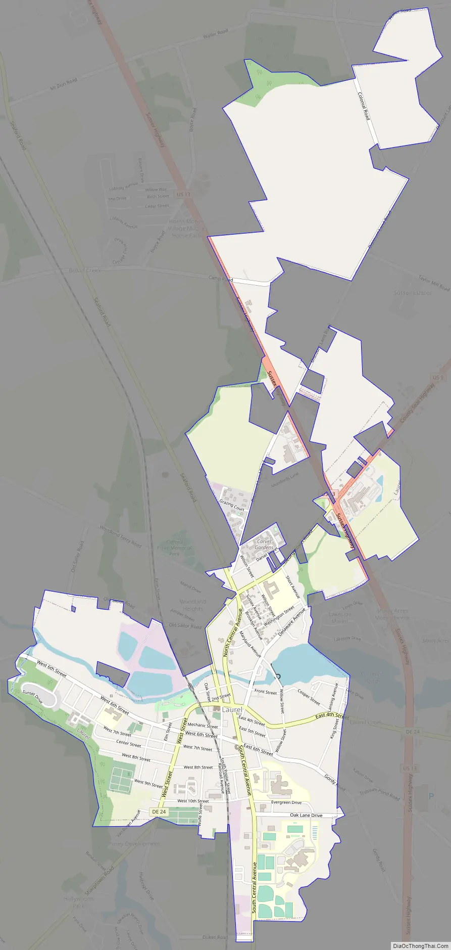
Laurel Road Map
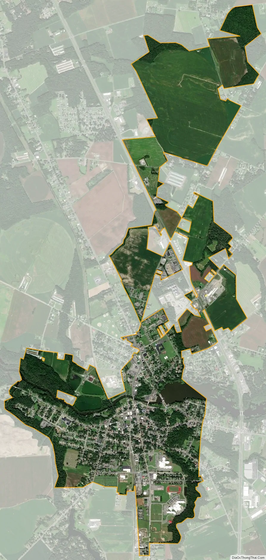
Laurel city Satellite Map
Geography
Laurel is located on the Atlantic Coastal Plain in southwestern Delaware at 38°33′23″N 75°34′17″W / 38.55639°N 75.57139°W / 38.55639; -75.57139 (38.5565041, −75.5713141).
According to the United States Census Bureau, the town has a total area of 1.7 square miles (4.4 km), of which 1.7 square miles (4.4 km) is land and 0.1 square miles (0.26 km) (4.07%) is water.
See also
Map of Delaware State and its subdivision: Map of other states:- Alabama
- Alaska
- Arizona
- Arkansas
- California
- Colorado
- Connecticut
- Delaware
- District of Columbia
- Florida
- Georgia
- Hawaii
- Idaho
- Illinois
- Indiana
- Iowa
- Kansas
- Kentucky
- Louisiana
- Maine
- Maryland
- Massachusetts
- Michigan
- Minnesota
- Mississippi
- Missouri
- Montana
- Nebraska
- Nevada
- New Hampshire
- New Jersey
- New Mexico
- New York
- North Carolina
- North Dakota
- Ohio
- Oklahoma
- Oregon
- Pennsylvania
- Rhode Island
- South Carolina
- South Dakota
- Tennessee
- Texas
- Utah
- Vermont
- Virginia
- Washington
- West Virginia
- Wisconsin
- Wyoming


