Leipsic is a town in Kent County, Delaware, United States. It is part of the Dover, Delaware Metropolitan Statistical Area. The population was 178 in 2020.
| Name: | Leipsic town |
|---|---|
| LSAD Code: | 43 |
| LSAD Description: | town (suffix) |
| State: | Delaware |
| County: | Kent County |
| Elevation: | 7 ft (2 m) |
| Total Area: | 0.32 sq mi (0.84 km²) |
| Land Area: | 0.30 sq mi (0.77 km²) |
| Water Area: | 0.03 sq mi (0.07 km²) |
| Total Population: | 178 |
| Population Density: | 599.33/sq mi (231.52/km²) |
| ZIP code: | 19901 |
| Area code: | 302 |
| FIPS code: | 1041700 |
| GNISfeature ID: | 214213 |
Online Interactive Map
Click on ![]() to view map in "full screen" mode.
to view map in "full screen" mode.
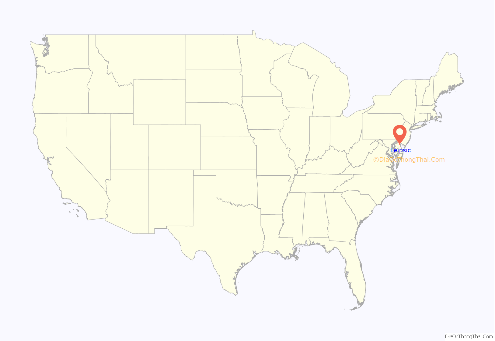
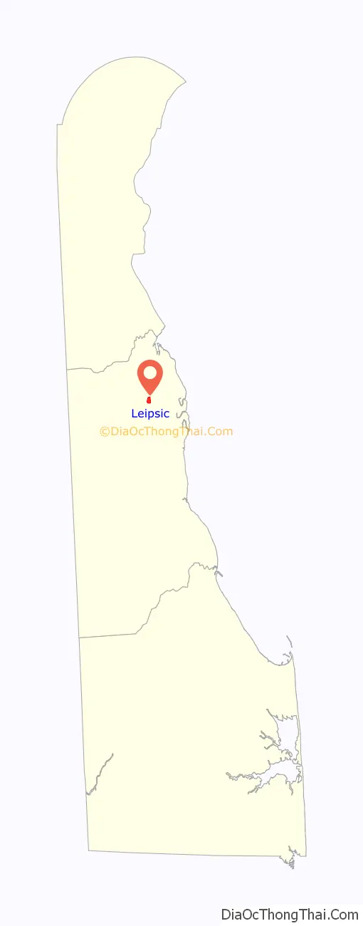
Leipsic location map. Where is Leipsic town?
History
A post office called Leipsic was established in 1839, and remained in operation until 1902. The name is a variation of Leipzig, one of the largest cities in eastern Germany.
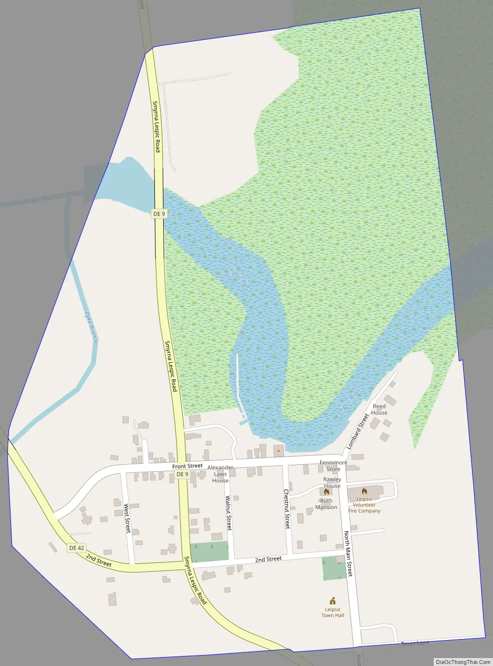
Leipsic Road Map
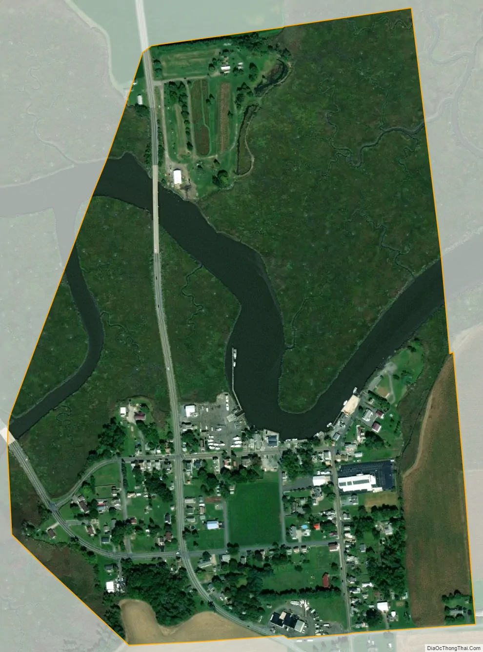
Leipsic city Satellite Map
Geography
Leipsic is located at 39°14′27″N 75°31′01″W / 39.24083°N 75.51694°W / 39.24083; -75.51694. According to the United States Census Bureau, the town has a total area of 0.3 square miles (0.78 km), of which 0.3 square miles (0.78 km) is land and 0.04 square miles (0.10 km) (6.67%) is water.
The Leipsic River flows through the town on the southern edge of the Bombay Hook National Wildlife Refuge.
See also
Map of Delaware State and its subdivision: Map of other states:- Alabama
- Alaska
- Arizona
- Arkansas
- California
- Colorado
- Connecticut
- Delaware
- District of Columbia
- Florida
- Georgia
- Hawaii
- Idaho
- Illinois
- Indiana
- Iowa
- Kansas
- Kentucky
- Louisiana
- Maine
- Maryland
- Massachusetts
- Michigan
- Minnesota
- Mississippi
- Missouri
- Montana
- Nebraska
- Nevada
- New Hampshire
- New Jersey
- New Mexico
- New York
- North Carolina
- North Dakota
- Ohio
- Oklahoma
- Oregon
- Pennsylvania
- Rhode Island
- South Carolina
- South Dakota
- Tennessee
- Texas
- Utah
- Vermont
- Virginia
- Washington
- West Virginia
- Wisconsin
- Wyoming