Little Creek is a town in Kent County, Delaware, United States. It is part of the Dover metropolitan statistical area. The population was 195 in 2020.
| Name: | Little Creek town |
|---|---|
| LSAD Code: | 43 |
| LSAD Description: | town (suffix) |
| State: | Delaware |
| County: | Kent County |
| Elevation: | 7 ft (2 m) |
| Total Area: | 0.10 sq mi (0.26 km²) |
| Land Area: | 0.10 sq mi (0.26 km²) |
| Water Area: | 0.00 sq mi (0.00 km²) |
| Total Population: | 195 |
| Population Density: | 1,969.70/sq mi (758.09/km²) |
| ZIP code: | 19961 |
| Area code: | 302 |
| FIPS code: | 1042870 |
| GNISfeature ID: | 214231 |
| Website: | littlecreek.delaware.gov |
Online Interactive Map
Click on ![]() to view map in "full screen" mode.
to view map in "full screen" mode.
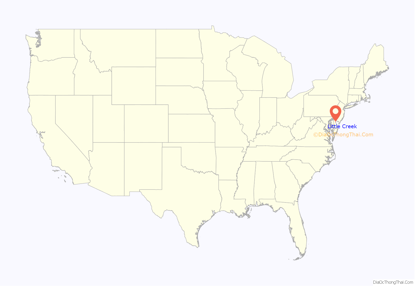
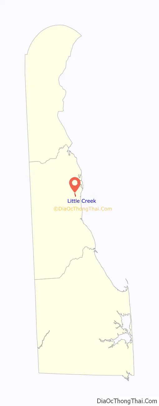
Little Creek location map. Where is Little Creek town?
History
John Woolman attended Quaker meeting at Little Creek in late summer 1748 during a visit to the Southern Counties of Delaware.
The Cherbourg Round Barn, Little Creek Hundred Rural Historic District, Little Creek Methodist Church, Old Stone Tavern, Port Mahon Lighthouse, Elizabeth Stubbs House, and Jonathan Woodley House are listed on the National Register of Historic Places.
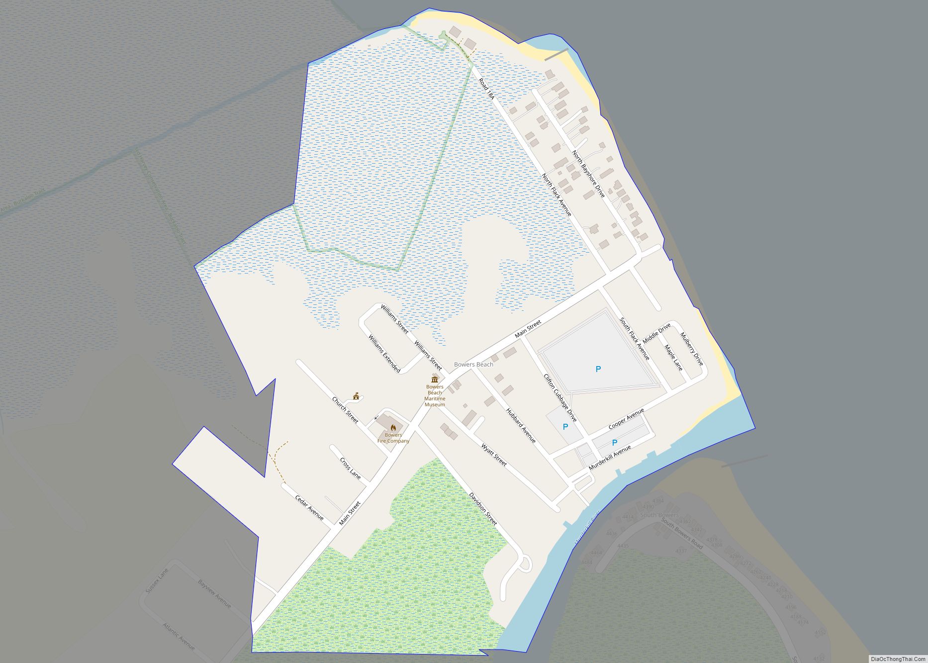
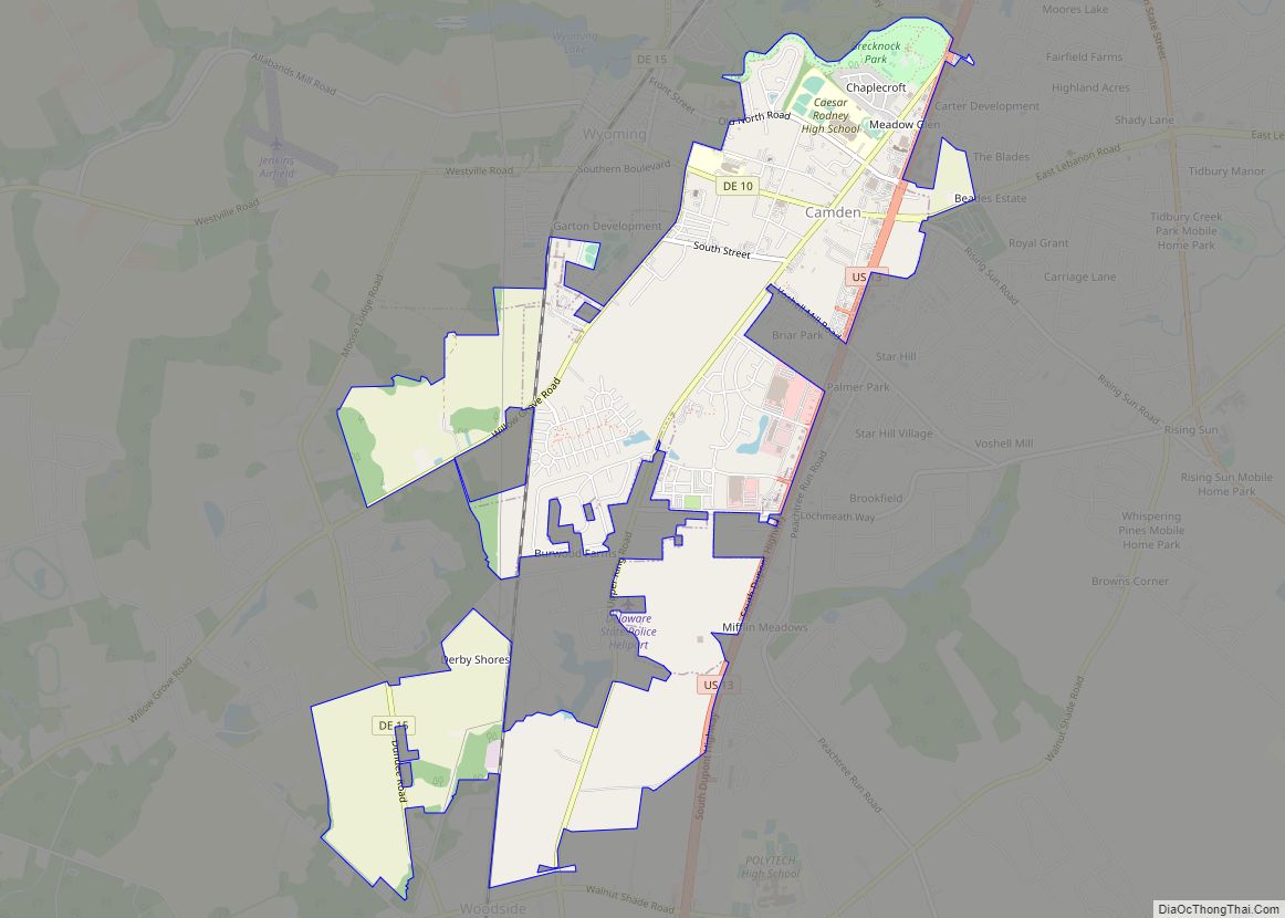
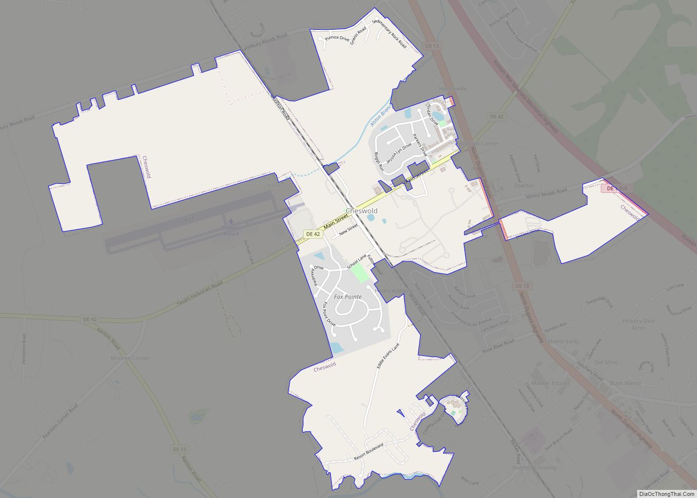
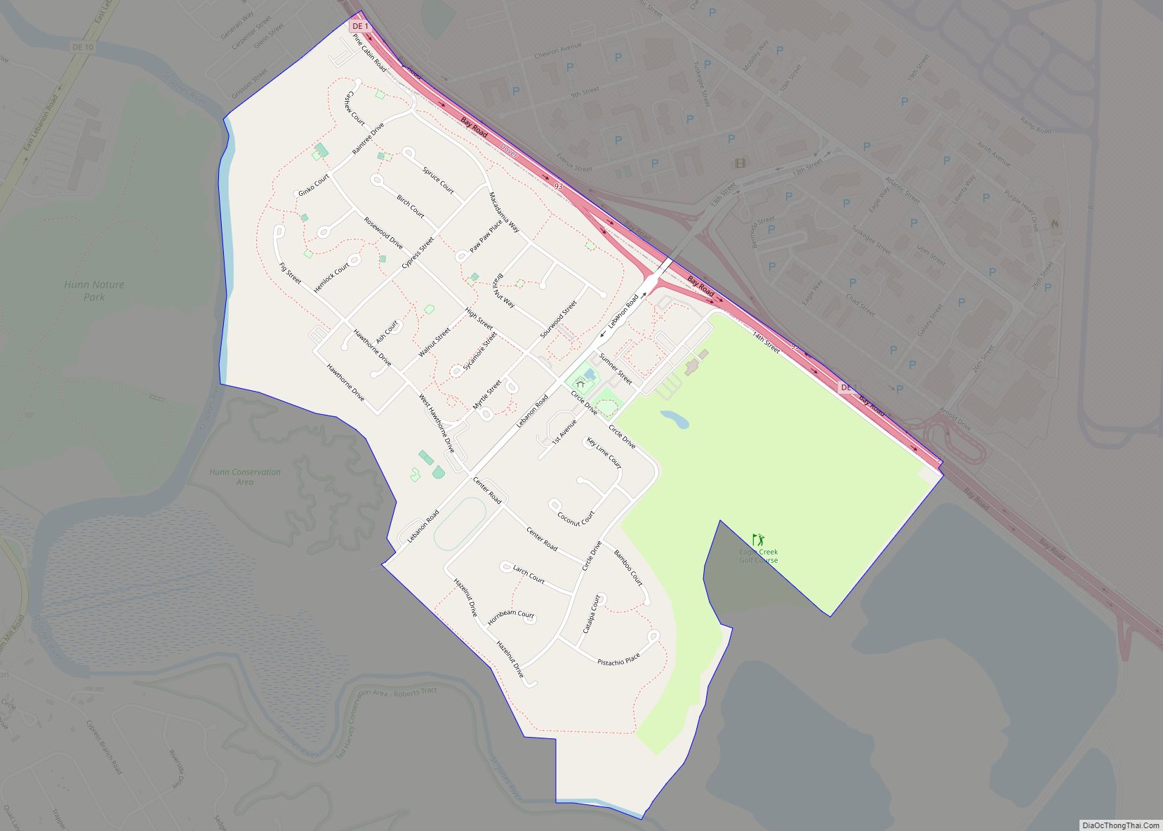
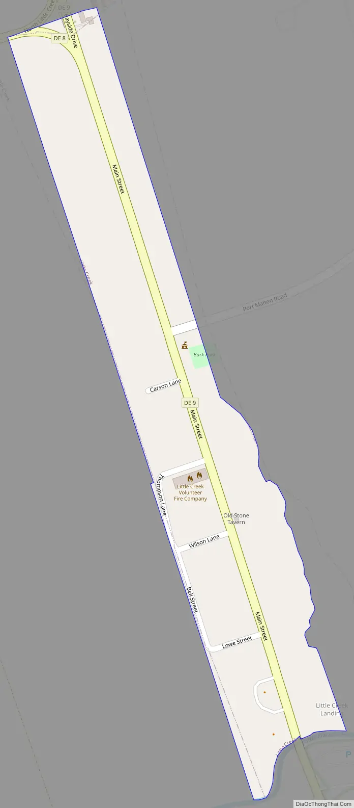
Little Creek Road Map
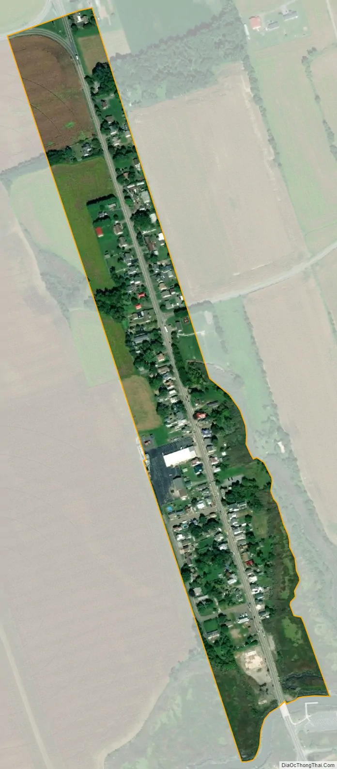
Little Creek city Satellite Map
Geography
Little Creek is located at 39°10′01″N 75°26′54″W / 39.16694°N 75.44833°W / 39.16694; -75.44833 (39.1670570, –75.4482541).
According to the United States Census Bureau, the town has a total area of 0.1 square miles (0.26 km), all land.
See also
Map of Delaware State and its subdivision: Map of other states:- Alabama
- Alaska
- Arizona
- Arkansas
- California
- Colorado
- Connecticut
- Delaware
- District of Columbia
- Florida
- Georgia
- Hawaii
- Idaho
- Illinois
- Indiana
- Iowa
- Kansas
- Kentucky
- Louisiana
- Maine
- Maryland
- Massachusetts
- Michigan
- Minnesota
- Mississippi
- Missouri
- Montana
- Nebraska
- Nevada
- New Hampshire
- New Jersey
- New Mexico
- New York
- North Carolina
- North Dakota
- Ohio
- Oklahoma
- Oregon
- Pennsylvania
- Rhode Island
- South Carolina
- South Dakota
- Tennessee
- Texas
- Utah
- Vermont
- Virginia
- Washington
- West Virginia
- Wisconsin
- Wyoming