Magnolia is a town in Kent County, Delaware, United States. It is part of the Dover, Delaware Metropolitan Statistical Area. Recent estimates put the population at around 235, however, the population was 277 in 2020.
| Name: | Magnolia town |
|---|---|
| LSAD Code: | 43 |
| LSAD Description: | town (suffix) |
| State: | Delaware |
| County: | Kent County |
| Elevation: | 26 ft (8 m) |
| Total Area: | 0.20 sq mi (0.51 km²) |
| Land Area: | 0.20 sq mi (0.51 km²) |
| Water Area: | 0.00 sq mi (0.00 km²) |
| Total Population: | 277 |
| Population Density: | 1,413.27/sq mi (546.60/km²) |
| ZIP code: | 19962 |
| Area code: | 302 |
| FIPS code: | 1044430 |
| GNISfeature ID: | 214264 |
| Website: | magnolia.delaware.gov |
Online Interactive Map
Click on ![]() to view map in "full screen" mode.
to view map in "full screen" mode.
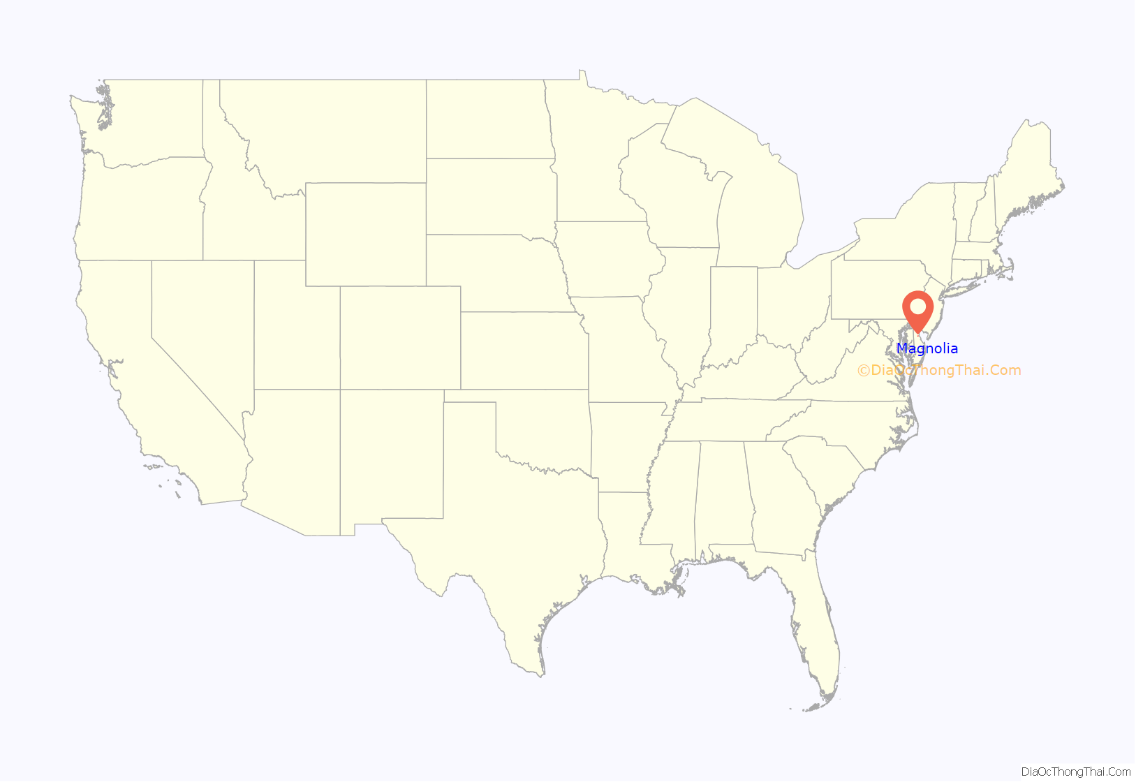
Magnolia location map. Where is Magnolia town?
History
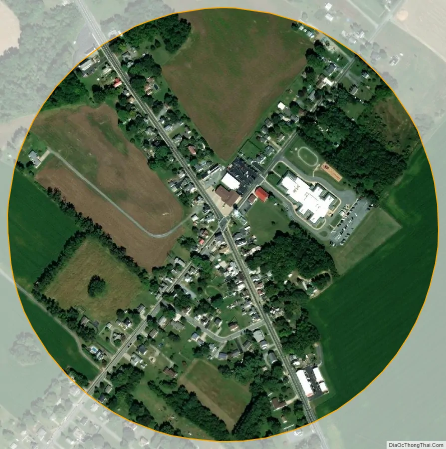
The area was known as Caroon Manor when it was first founded and the land had been given by the Duke of York. The town of Magnolia was incorporated in 1885 and was named for the Duke of York’s favorite tree, the Magnolia. When it was incorporated, the founders chose for the town to have a circular boundary to represent brotherhood. The boundary was 1⁄4 mile (0.40 km) in diameter. The town of Magnolia retains its original boundaries as the town council has decided against annexation of land to change the boundaries.
The John B. Lindale House, Matthew Lowber House, Gov. George Truitt House, and three archaeological sites are listed on the National Register of Historic Places.
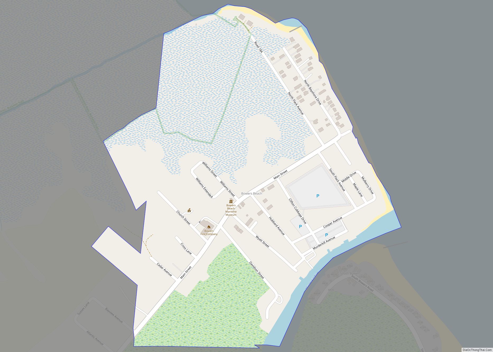
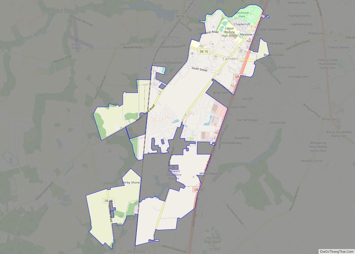
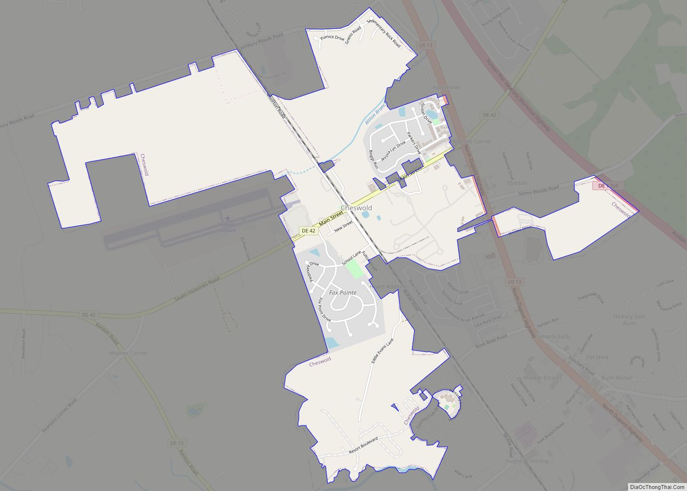
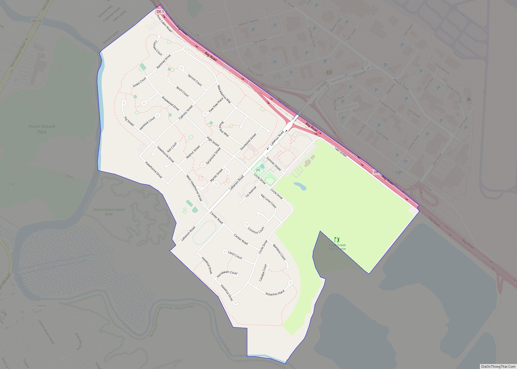
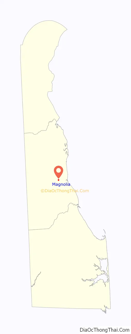
Magnolia Road Map

Magnolia city Satellite Map
Geography
Magnolia is located at 39°04′16″N 75°28′34″W / 39.07111°N 75.47611°W / 39.07111; -75.47611 (39.0712238, –75.4760327).
According to the United States Census Bureau, the town has a total area of 0.2 square miles (0.52 km), all land.
According to the sign outside the Lindale house on South Main Street, Magnolia’s precise location is “the center of the universe around which the world revolves.”
See also
Map of Delaware State and its subdivision: Map of other states:- Alabama
- Alaska
- Arizona
- Arkansas
- California
- Colorado
- Connecticut
- Delaware
- District of Columbia
- Florida
- Georgia
- Hawaii
- Idaho
- Illinois
- Indiana
- Iowa
- Kansas
- Kentucky
- Louisiana
- Maine
- Maryland
- Massachusetts
- Michigan
- Minnesota
- Mississippi
- Missouri
- Montana
- Nebraska
- Nevada
- New Hampshire
- New Jersey
- New Mexico
- New York
- North Carolina
- North Dakota
- Ohio
- Oklahoma
- Oregon
- Pennsylvania
- Rhode Island
- South Carolina
- South Dakota
- Tennessee
- Texas
- Utah
- Vermont
- Virginia
- Washington
- West Virginia
- Wisconsin
- Wyoming