Millville is a town in Sussex County, Delaware, United States. The population in 2020 was 1,825, It is part of the Salisbury, Maryland-Delaware Metropolitan Statistical Area and lies within Baltimore Hundred.
| Name: | Millville town |
|---|---|
| LSAD Code: | 43 |
| LSAD Description: | town (suffix) |
| State: | Delaware |
| County: | Sussex County |
| Elevation: | 13 ft (4 m) |
| Total Area: | 2.55 sq mi (6.61 km²) |
| Land Area: | 2.55 sq mi (6.61 km²) |
| Water Area: | 0.00 sq mi (0.00 km²) |
| Total Population: | 1,825 |
| Population Density: | 715.13/sq mi (276.11/km²) |
| ZIP code: | 19967, 19970 |
| Area code: | 302 |
| FIPS code: | 1048200 |
| GNISfeature ID: | 214323 |
| Website: | millville.delaware.gov |
Online Interactive Map
Click on ![]() to view map in "full screen" mode.
to view map in "full screen" mode.
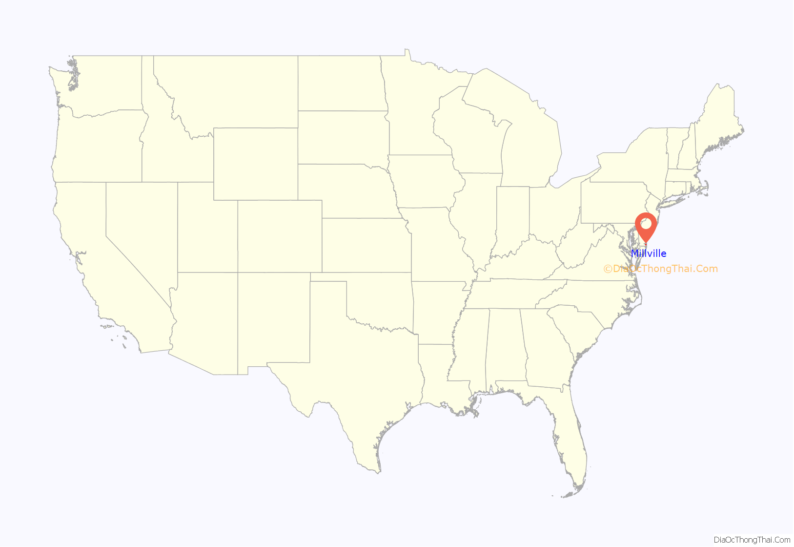
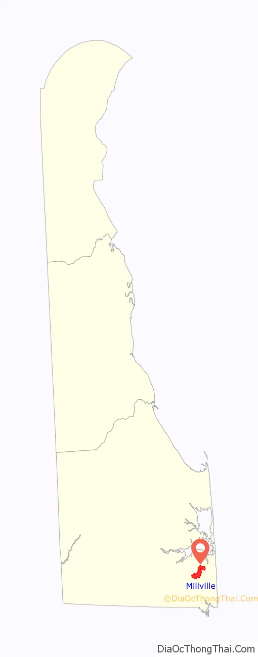
Millville location map. Where is Millville town?
History
The early settlement of the Millville area by Europeans is poorly recorded, although it is known that the swampy, marshy nature of much of the land of eastern Baltimore Hundred in southeastern Delaware when the first Europeans arrived led them to establish plantations on higher ground in the vicinity of what are now Millville, Ocean View, and Clarksville. Millville itself grew up around a steam-powered sawmill operated by Captain Peter Townshend in the late 19th century, becoming a center for lumber, agricultural products, and commercial fishing.
For a time, the names “Dukestown” and “Dukesville” were considered for the town because of the prominence and number of members of the Dukes family who lived in the area. Eventually, the town was named Millville because of the sorghum mills, lumber mills and grist mills in the area.
Millville was incorporated in 1906. It had a population of 206 at the time, and has grown in population only very slowly since, reaching only 259 by the 2000 census. However, the population more than doubled by the 2010 census, rising to 544 residents, the highest in the recorded history of Millville.
Millville was considered the principal town of Baltimore Hundred, although this today lacks meaning because Delaware’s hundreds lost their political functions long ago and now serve only as geographic points of reference.
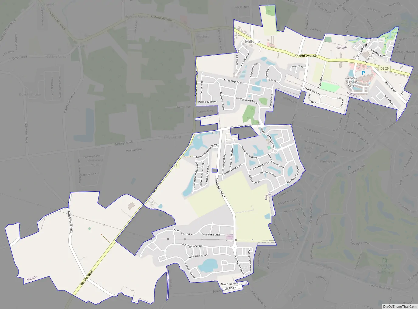
Millville Road Map
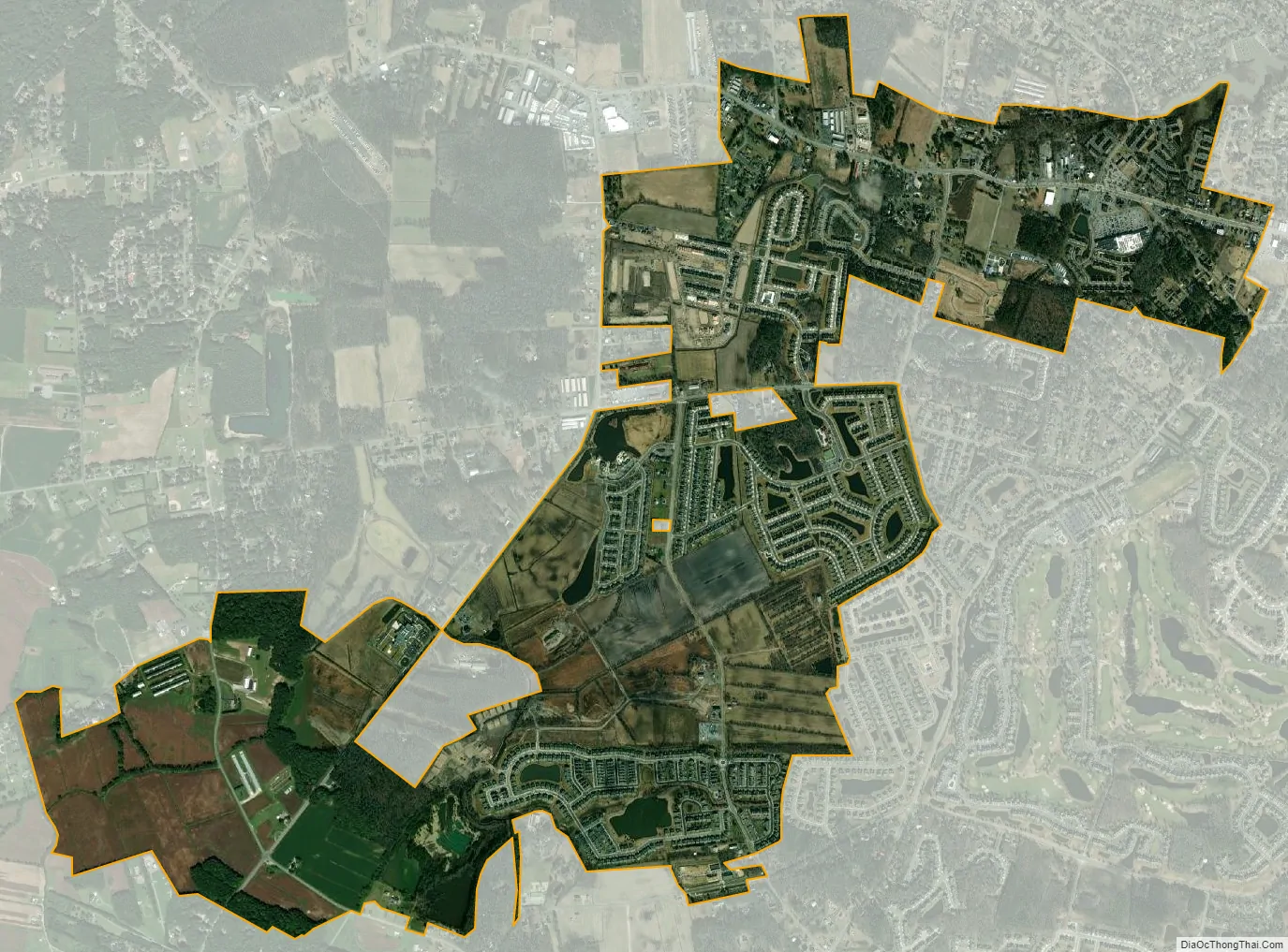
Millville city Satellite Map
Geography
Millville is located at 38°32′58″N 75°07′24″W / 38.54944°N 75.12333°W / 38.54944; -75.12333 (38.5495569, –75.1232391), approximately 1 mile (2 km) west of the Atlantic Ocean and about 1 mile (2 km) south of Indian River Bay. It is contiguous on the east with Ocean View, and bordered on the north, west and south by unincorporated portions of Sussex County.
According to the United States Census Bureau, the town has a total area of 0.5 square miles (1.3 km), in which all of it was land.
See also
Map of Delaware State and its subdivision: Map of other states:- Alabama
- Alaska
- Arizona
- Arkansas
- California
- Colorado
- Connecticut
- Delaware
- District of Columbia
- Florida
- Georgia
- Hawaii
- Idaho
- Illinois
- Indiana
- Iowa
- Kansas
- Kentucky
- Louisiana
- Maine
- Maryland
- Massachusetts
- Michigan
- Minnesota
- Mississippi
- Missouri
- Montana
- Nebraska
- Nevada
- New Hampshire
- New Jersey
- New Mexico
- New York
- North Carolina
- North Dakota
- Ohio
- Oklahoma
- Oregon
- Pennsylvania
- Rhode Island
- South Carolina
- South Dakota
- Tennessee
- Texas
- Utah
- Vermont
- Virginia
- Washington
- West Virginia
- Wisconsin
- Wyoming


