Ocean View is a town in Sussex County, Delaware, United States. The population was 1,882 at the 2010 census, an increase of 87.1% over the previous decade. It is part of the Salisbury, Maryland-Delaware Metropolitan Statistical Area and lies in Baltimore Hundred.
Ocean View is fast becoming a bedroom community for the neighboring summer resort of Bethany Beach.
| Name: | Ocean View town |
|---|---|
| LSAD Code: | 43 |
| LSAD Description: | town (suffix) |
| State: | Delaware |
| County: | Sussex County |
| Elevation: | 13 ft (4 m) |
| Total Area: | 2.79 sq mi (7.24 km²) |
| Land Area: | 2.77 sq mi (7.18 km²) |
| Water Area: | 0.02 sq mi (0.06 km²) |
| Total Population: | 2,636 |
| Population Density: | 950.60/sq mi (367.00/km²) |
| ZIP code: | 19967, 19970 |
| Area code: | 302 |
| FIPS code: | 1053920 |
| GNISfeature ID: | 214403 |
| Website: | www.oceanviewde.com |
Online Interactive Map
Click on ![]() to view map in "full screen" mode.
to view map in "full screen" mode.
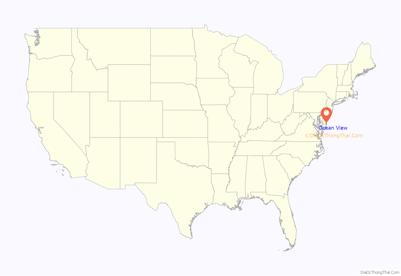
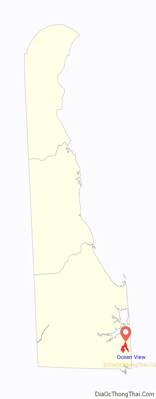
Ocean View location map. Where is Ocean View town?
History
Until the late 17th century, European settlers bypassed the area where Ocean View now lies because of the poor quality of its sandy, salty soil and the salt air that blew in from the Atlantic Ocean; they preferred to settle a few miles farther inland, where the land was higher and drier and the soil richer. Would-be settlers also faced a legal complication in obtaining land in what is now Ocean View, because Lord Baltimore claimed the area as part of his Maryland colony, while William Penn asserted that the area belonged to the Delaware Colony; settlers opted to look elsewhere for land to which they could receive clear title from an undisputed authority.
Ocean View traces it origins to 1688, when Lord Baltimore gave a 500-acre (200-hectare) tract of land in what is now Ocean View to its first settler, Matthew Scarborough. Scarborough named his land “Middlesex,” and the land became known as Middlesex Plantation. Although the dispute over control of the land eventually was decided in favor of Penn and the land became part of Delaware, Delaware authorities confirmed Scarborough’s title to the land as granted by Lord Baltimore.
A few other settlers joined Scarborough around Middlesex Plantation in the years after he settled there. After Scarborough died, the land passed into the hands of the Hazzard family, and by the late 18th century salt-making crews had begun occasional visits to the area on their way to and from salt ponds located closer to the coast.
The Hall family eventually came into possession of the land. W. S. Hall opened a general store on his farm there shortly after 1800. A village known as Hall’s Store – the future Ocean View – soon sprang up around the store, and for this reason the members of the Hall family are considered the founders of Ocean View. In 1822 a post office was established in Hall’s Store.
Legend has it that a young man climbed a tree in the area and saw the Atlantic Ocean, hence the name Ocean View. After the American Civil War (1861–1865) people began to take an interest in visiting the Atlantic beaches to the east of Hall’s Store and it was discovered that the Atlantic Ocean was visible from the second story of some buildings in the village; because of this, Hall’s Store was renamed Ocean View. Ocean View was incorporated on April 13, 1889, and held its first town council meeting on April 20, 1889.
The town was an isolated community for much of the 19th century; the nearest railroad, constructed in 1874, came no closer than Dagsboro, and although the opening of the Assawoman Canal – which ran past what had once been Scarborough’s Middlesex Plantation – in the late 19th century improved access to Ocean View, it did little to boost the town’s economy. Not until the rise of the automobile in the early 20th century did visitors begin to come to Ocean View in increasing numbers.
In 1923, Ocean View became the birthplace of the commercial broiler industry when Mrs. Cecilie Long Steele revolutionized the poultry industry by raising the first commercial flock of broiler-fryer-sized chickens there. Although Ocean View itself is no longer involved in the raising of chickens, the industry went on to become Delaware’s most important agricultural activity.
After World War II, interest in land near the Delaware beaches increased exponentially as the Delmarva Peninsula became ever-more accessible to automobile traffic from large Eastern cities. The real estate boom spread to Ocean View, increasing land prices there substantially during the latter half of the 20th century.
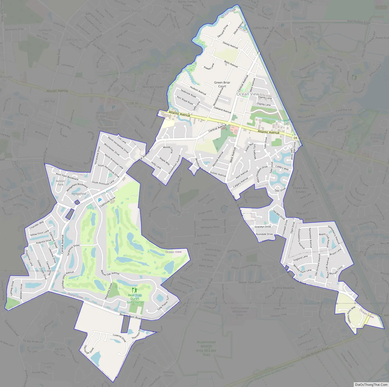
Ocean View Road Map
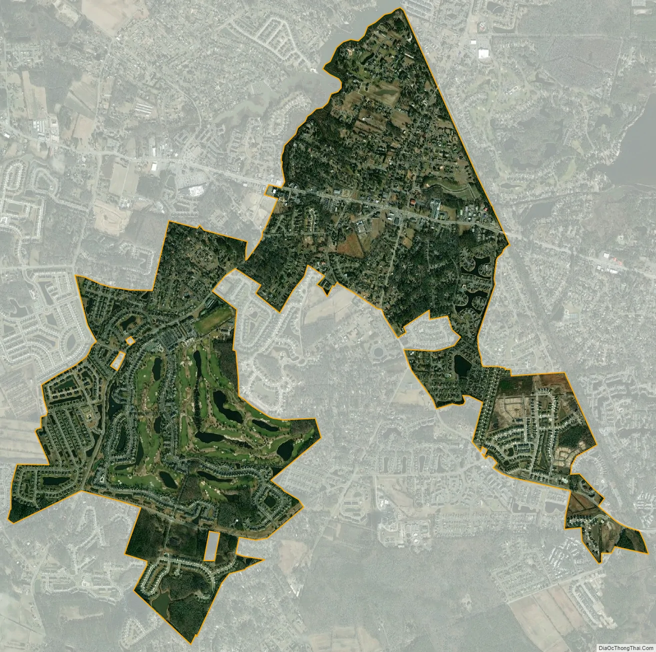
Ocean View city Satellite Map
Geography
Ocean View is located at 38°32′42″N 75°05′21″W / 38.54500°N 75.08917°W / 38.54500; -75.08917 (38.5451122, –75.0890709). It lies 1 mile (2 km) west of the Atlantic Ocean and 1 mile (2 km) south of Indian River Bay. The Assawoman Canal borders Ocean View on the east and northeast, and Bethany Beach has a short contiguous border with it on the east. On the northwest and west, White’s Creek borders the town, and Millville is contiguous with Ocean View on the west. On the south, Ocean View borders unincorporated portions of Sussex County.
According to the United States Census Bureau, the town has a total area of 2.0 square miles (5.2 km), all of it land.
Ocean View contains three churches, a school, and a town park.
See also
Map of Delaware State and its subdivision: Map of other states:- Alabama
- Alaska
- Arizona
- Arkansas
- California
- Colorado
- Connecticut
- Delaware
- District of Columbia
- Florida
- Georgia
- Hawaii
- Idaho
- Illinois
- Indiana
- Iowa
- Kansas
- Kentucky
- Louisiana
- Maine
- Maryland
- Massachusetts
- Michigan
- Minnesota
- Mississippi
- Missouri
- Montana
- Nebraska
- Nevada
- New Hampshire
- New Jersey
- New Mexico
- New York
- North Carolina
- North Dakota
- Ohio
- Oklahoma
- Oregon
- Pennsylvania
- Rhode Island
- South Carolina
- South Dakota
- Tennessee
- Texas
- Utah
- Vermont
- Virginia
- Washington
- West Virginia
- Wisconsin
- Wyoming


