Pike Creek is a census-designated place (CDP) in New Castle County, Delaware, United States and is part of the Philadelphia-Camden-Wilmington, PA-NJ-DE-MD Metropolitan statistical area. In 2007, CNN’s Money Magazine ranked Pike Creek number 79 on its list of the 100 Best Places to Live in the United States. Pike Creek was the only community in Delaware to appear on the list. The population was 7,808 at the 2020 Census. Local attractions include Middle Run Natural Area, White Clay Creek State Park, Carousel Farm Park and Equestrian Center, Golf and Restaurants. Pike Creek is approximately five miles from downtown Newark, which contains the University of Delaware. Pike Creek is connected to the University of Delaware campus and the Newark downtown area by several bike trails. Pike Creek is approximately 10 miles west of the state’s largest city, Wilmington, which is a national financial center.
| Name: | Pike Creek CDP |
|---|---|
| LSAD Code: | 57 |
| LSAD Description: | CDP (suffix) |
| State: | Delaware |
| County: | New Castle County |
| Elevation: | 121 ft (37 m) |
| Total Area: | 2.69 sq mi (6.96 km²) |
| Land Area: | 2.69 sq mi (6.96 km²) |
| Water Area: | 0.00 sq mi (0.00 km²) |
| Total Population: | 7,808 |
| Population Density: | 2,903.68/sq mi (1,121.20/km²) |
| Area code: | 302 |
| FIPS code: | 1056490 |
| GNISfeature ID: | 1867107 |
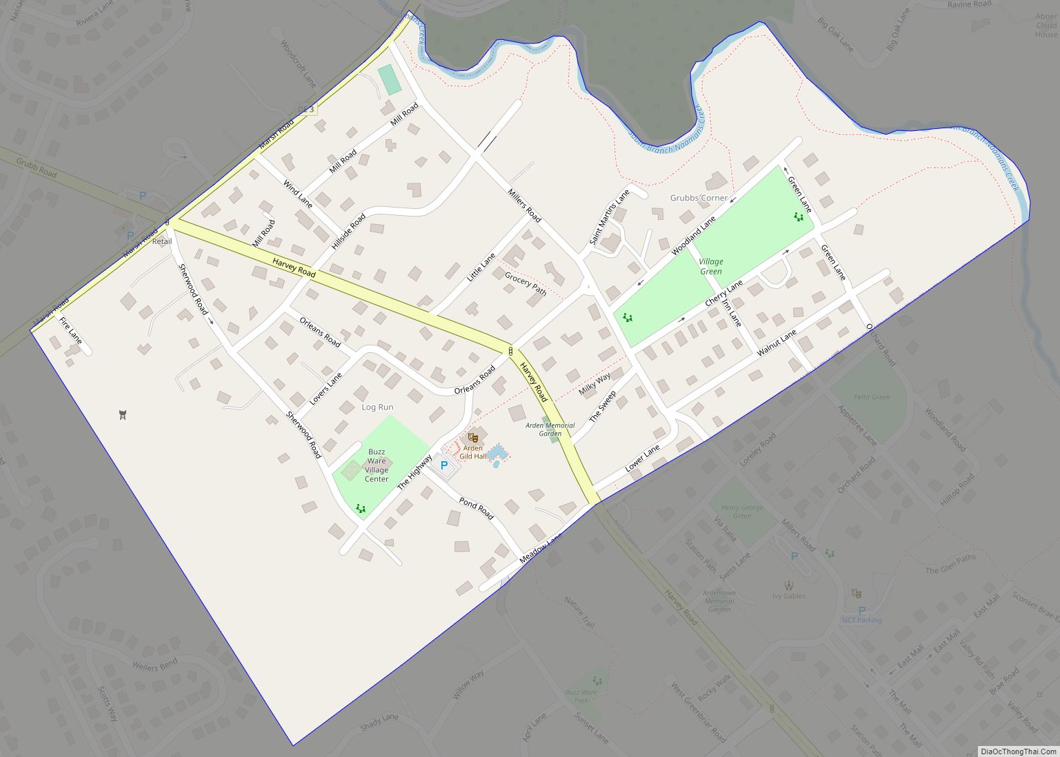
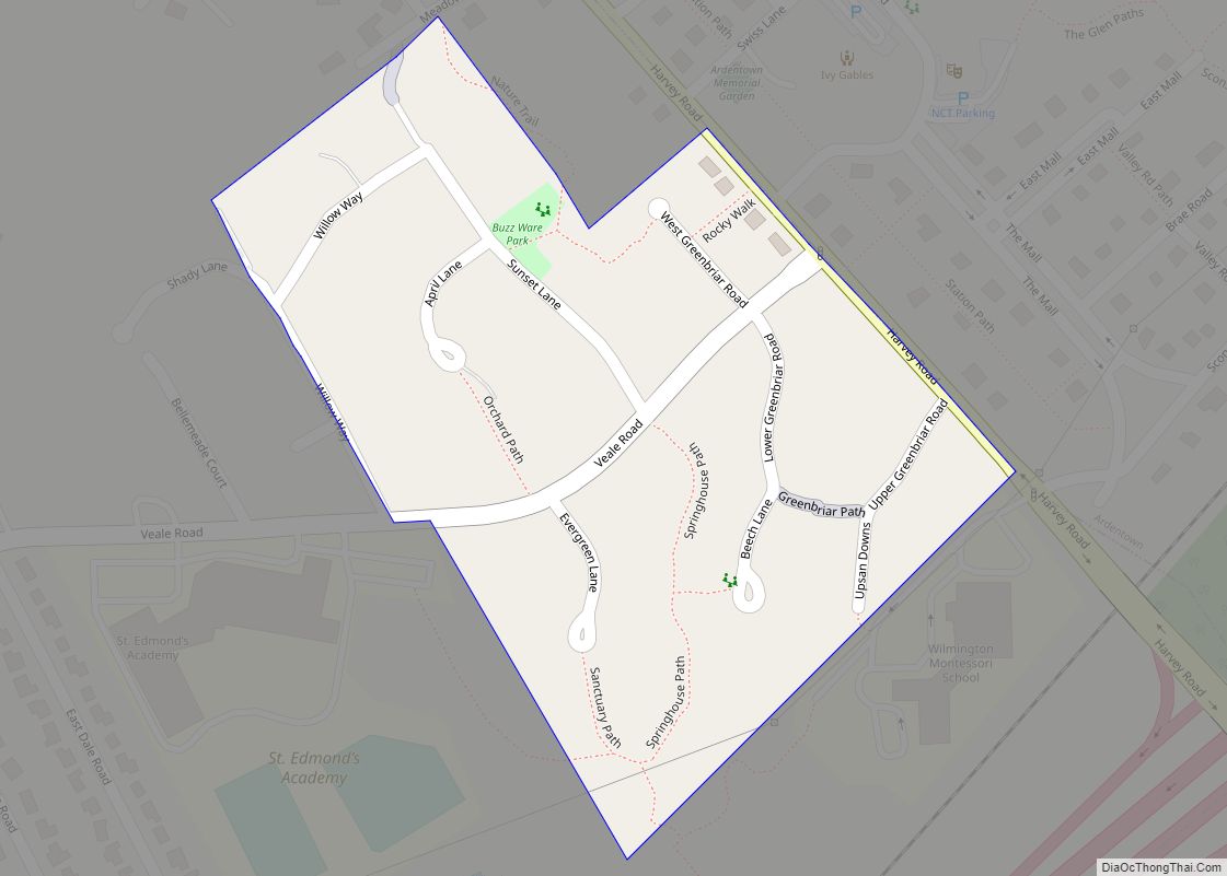
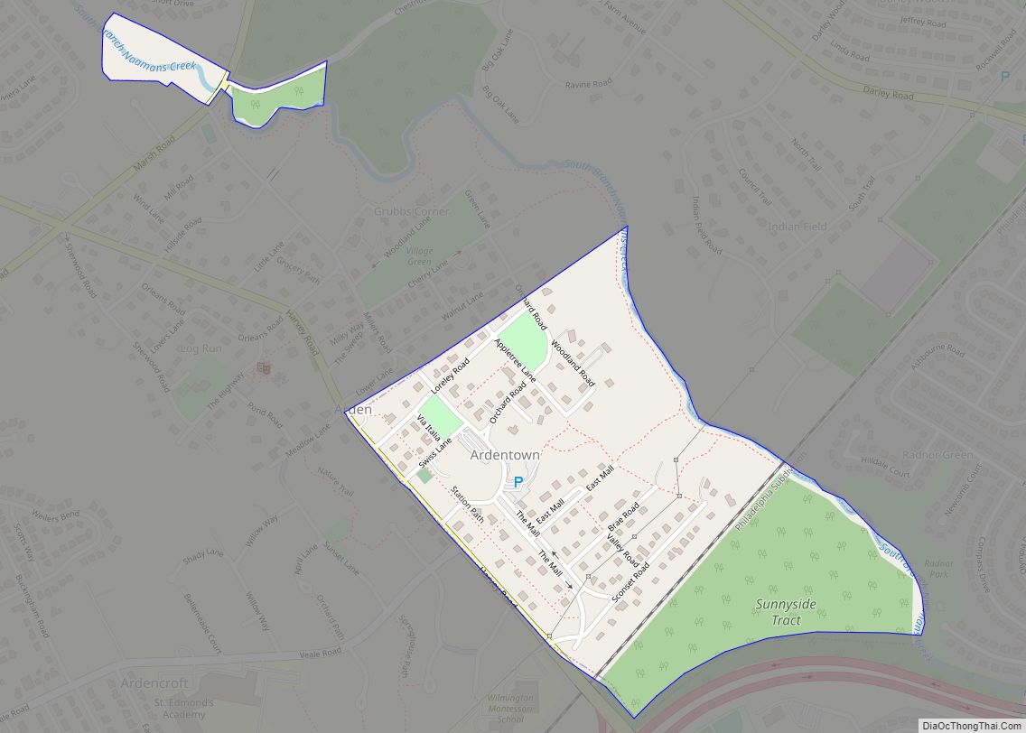
Online Interactive Map
Click on ![]() to view map in "full screen" mode.
to view map in "full screen" mode.
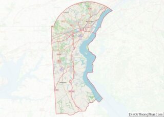
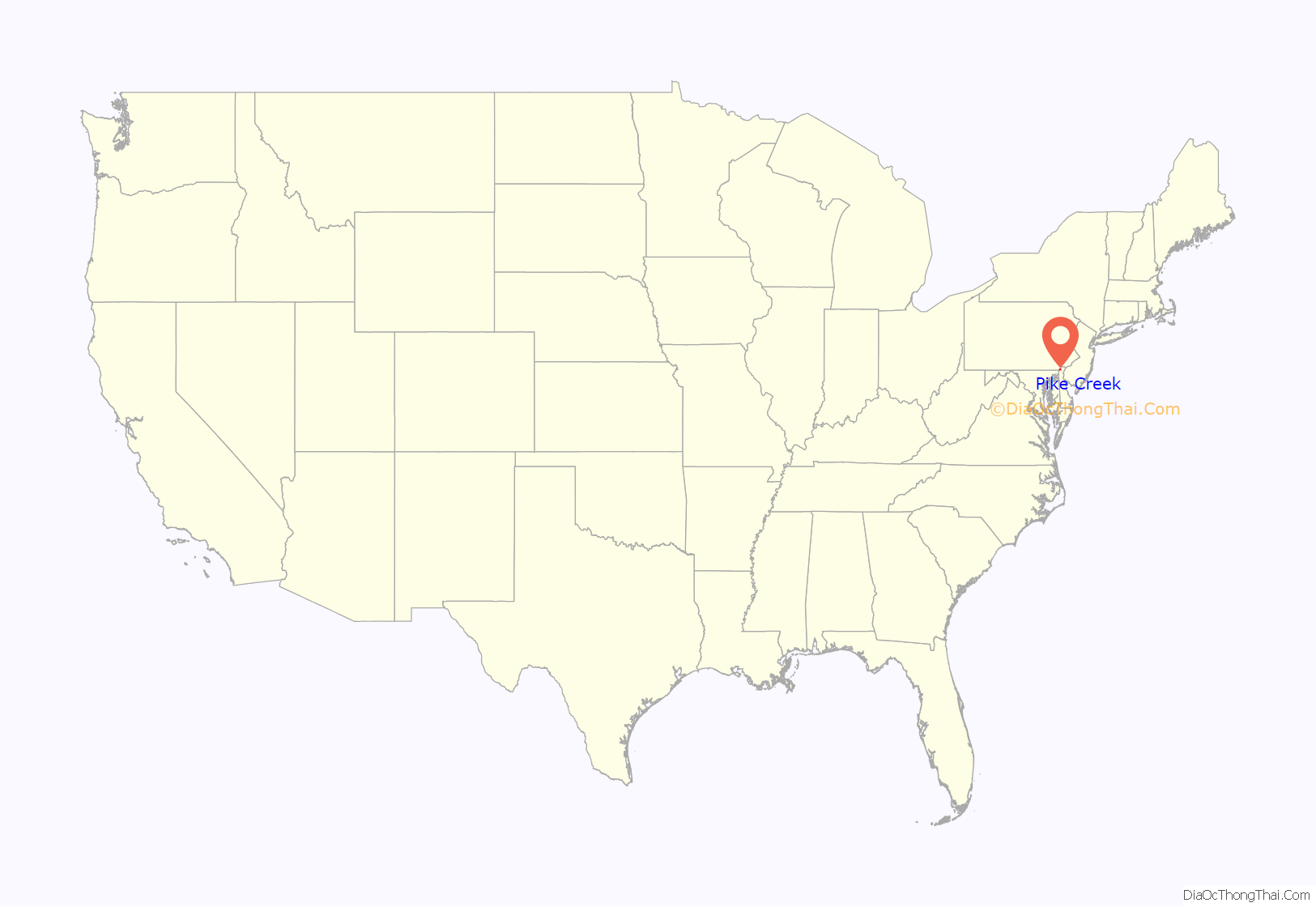
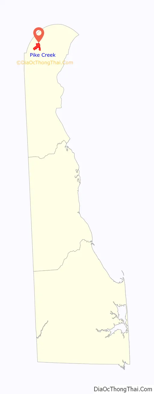
Pike Creek location map. Where is Pike Creek CDP?
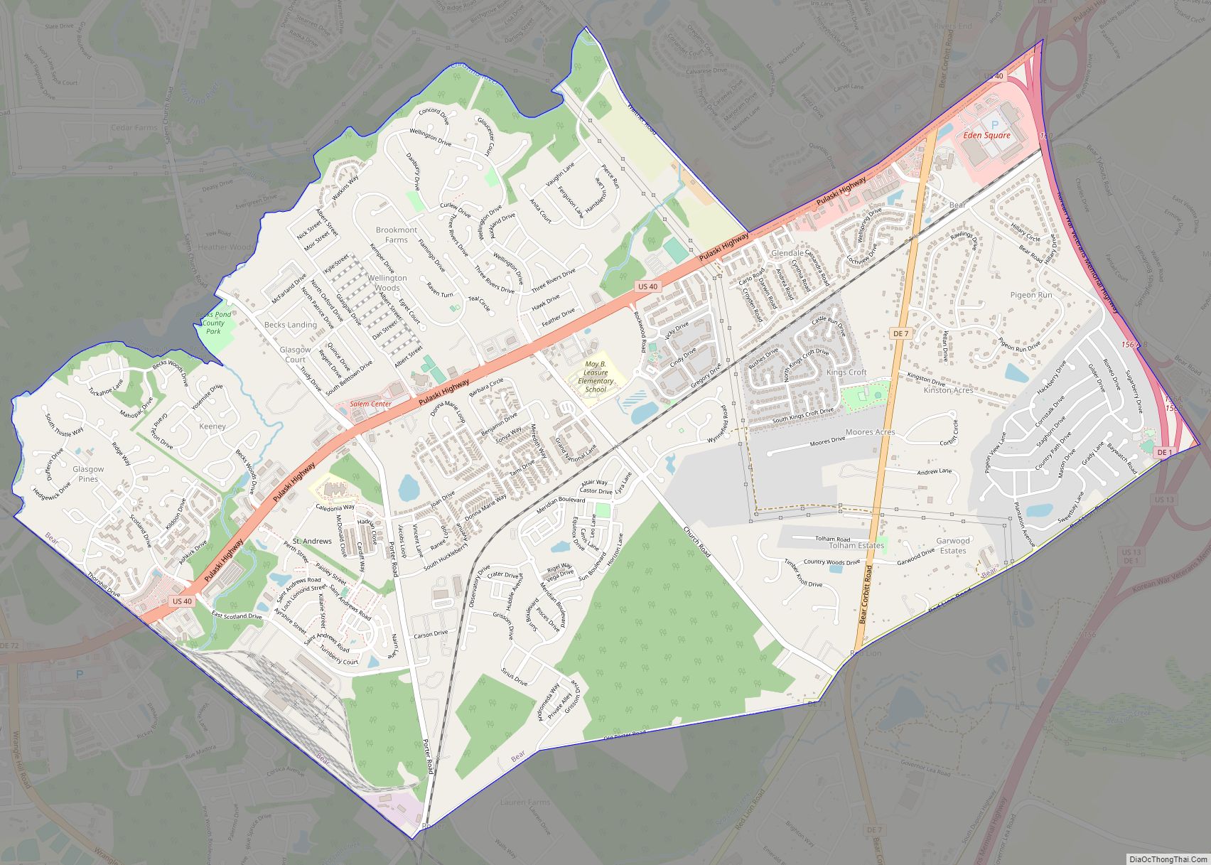
Pike Creek Road Map
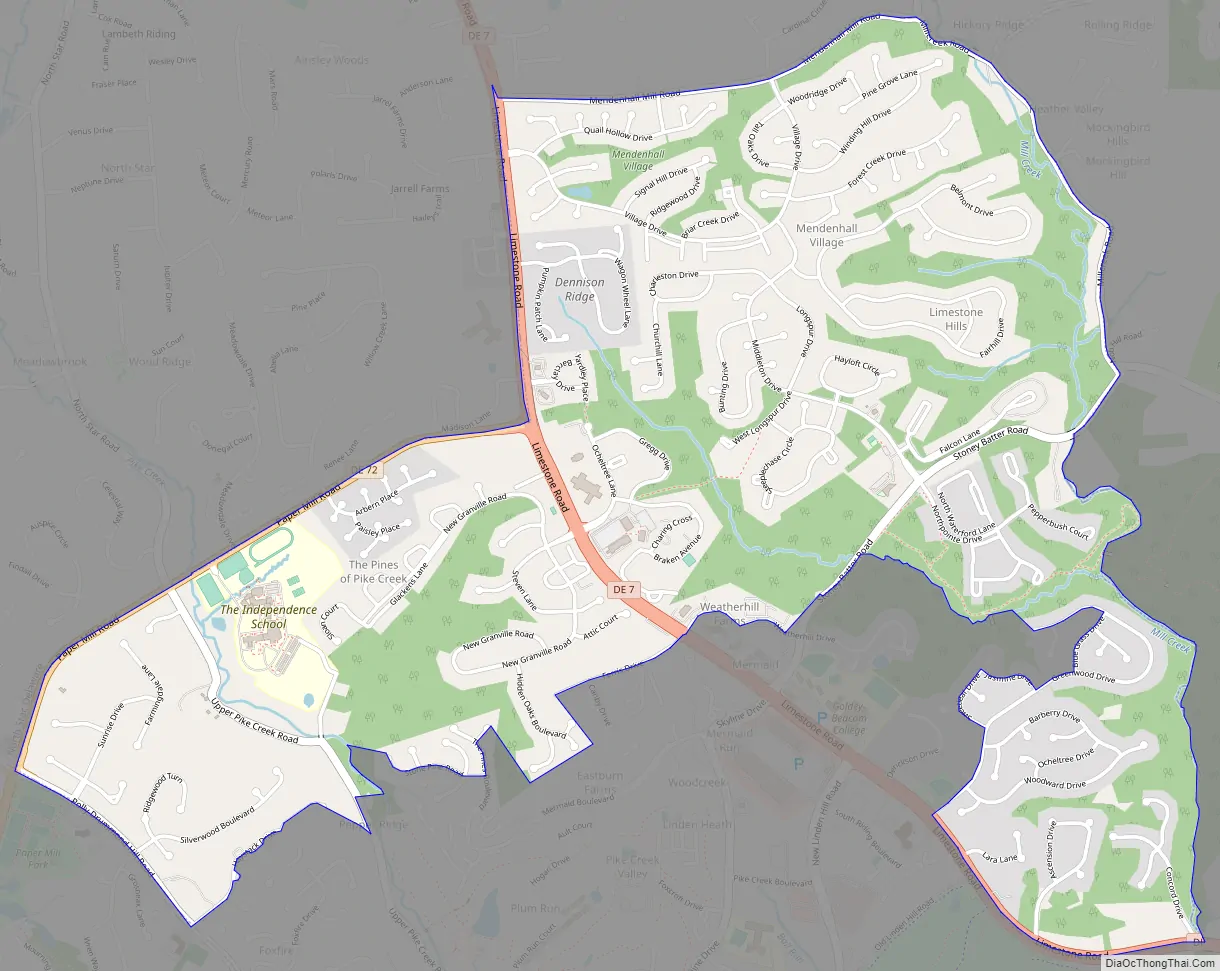
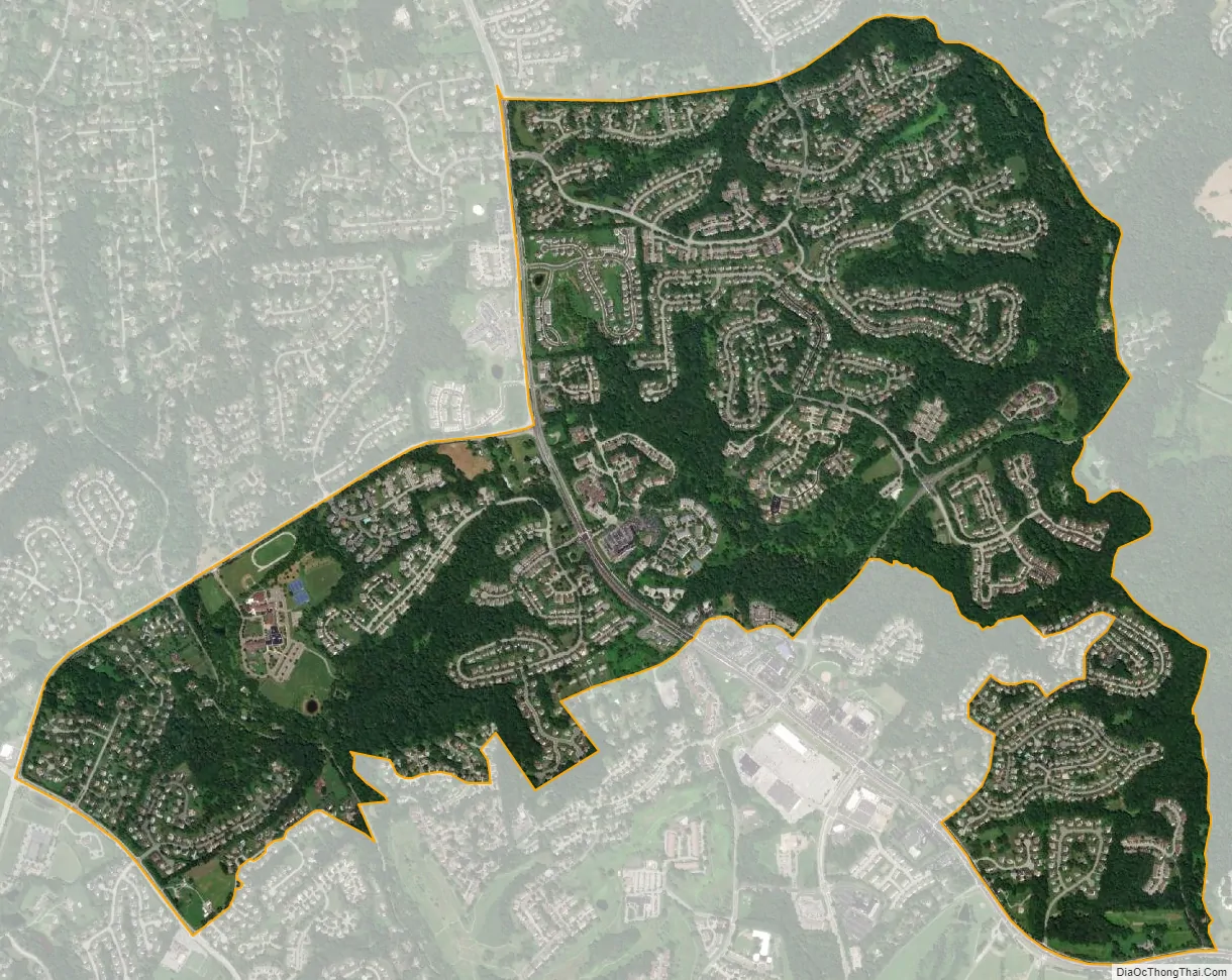
Pike Creek city Satellite Map
Geography
Pike Creek is located at 39°43′51″N 75°42′15″W / 39.73083°N 75.70417°W / 39.73083; -75.70417 (39.7309451, -75.7040991).
According to the United States Census Bureau, the CDP has a total area of 6.1 square miles (16 km), all land.
See also
Map of Delaware State and its subdivision: Map of other states:- Alabama
- Alaska
- Arizona
- Arkansas
- California
- Colorado
- Connecticut
- Delaware
- District of Columbia
- Florida
- Georgia
- Hawaii
- Idaho
- Illinois
- Indiana
- Iowa
- Kansas
- Kentucky
- Louisiana
- Maine
- Maryland
- Massachusetts
- Michigan
- Minnesota
- Mississippi
- Missouri
- Montana
- Nebraska
- Nevada
- New Hampshire
- New Jersey
- New Mexico
- New York
- North Carolina
- North Dakota
- Ohio
- Oklahoma
- Oregon
- Pennsylvania
- Rhode Island
- South Carolina
- South Dakota
- Tennessee
- Texas
- Utah
- Vermont
- Virginia
- Washington
- West Virginia
- Wisconsin
- Wyoming