Selbyville is a town in Sussex County, Delaware, United States. Its population was 2,167 at the 2010 census, an increase of 31.7% over the previous decade. It is part of the Salisbury, Maryland-Delaware Metropolitan Statistical Area.
| Name: | Selbyville town |
|---|---|
| LSAD Code: | 43 |
| LSAD Description: | town (suffix) |
| State: | Delaware |
| County: | Sussex County |
| Founded: | 1778 |
| Incorporated: | 1902 |
| Elevation: | 36 ft (11 m) |
| Total Area: | 3.60 sq mi (9.31 km²) |
| Land Area: | 3.59 sq mi (9.29 km²) |
| Water Area: | 0.01 sq mi (0.02 km²) |
| Total Population: | 2,878 |
| Population Density: | 802.12/sq mi (309.71/km²) |
| ZIP code: | 19944, 19975 |
| Area code: | 302 |
| FIPS code: | 1064840 |
| GNISfeature ID: | 214630 |
| Website: | selbyville.delaware.gov |
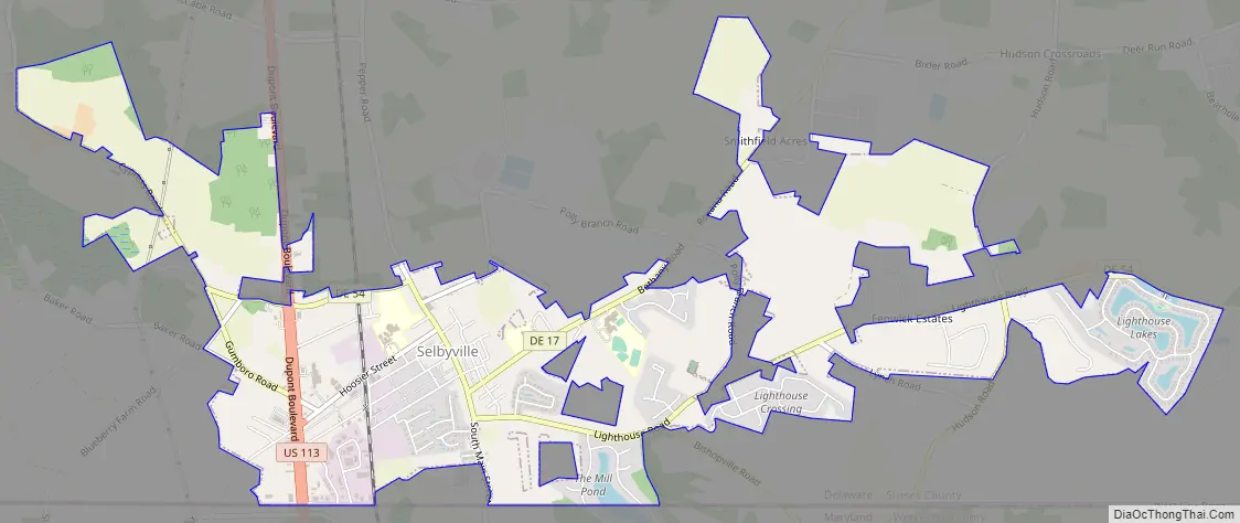
Online Interactive Map
Click on ![]() to view map in "full screen" mode.
to view map in "full screen" mode.
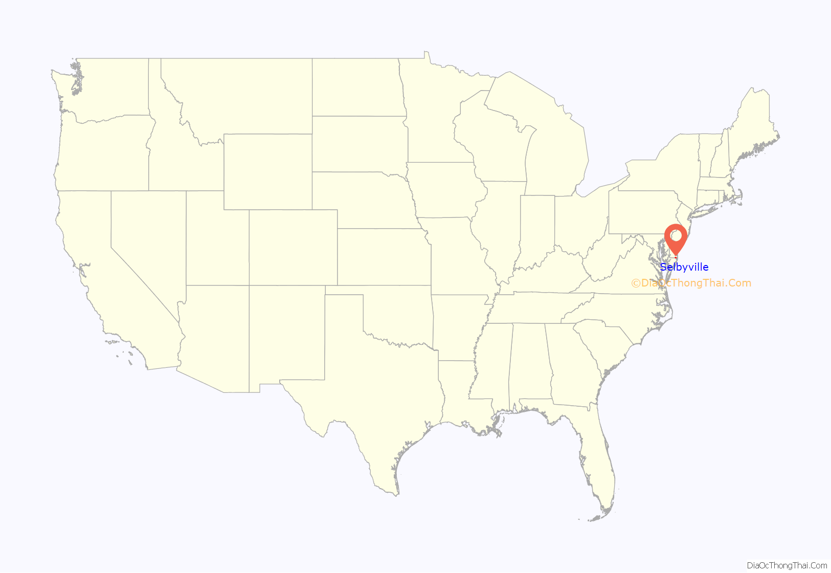
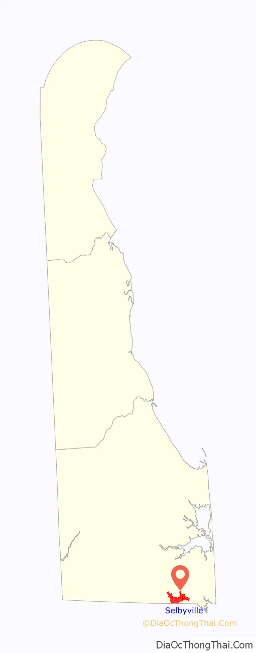
Selbyville location map. Where is Selbyville town?
History
Selbyville was founded in 1778 and incorporated in 1902.
It was originally known as Sandy Branch, due to its location on a branch of that name emanating in the Cypress Swamp at the head of the St. Martin’s River. A grist mill and saw mill opened there in the late 18th century. In 1842, Sampson Selby began marking packages for delivery to his country store, Selby-Ville.
By 1918, Selbyville was the major supplier of strawberries for the east coast, an industry that remained strong until the 1930s.
Today, one of its main employers is Mountaire Farms, a poultry company with a processing plant on Hosier Street.
The town is also home of the Mumford Sheet Metal Works, which held the world record for the largest frying pan in 1950.
Selbyville is also home to Doyle’s Restaurant, recognized by the State of Delaware as the state’s oldest operating diner. (The original 1930s diner is attached to a modern expansion.)
Selbyville Road Map
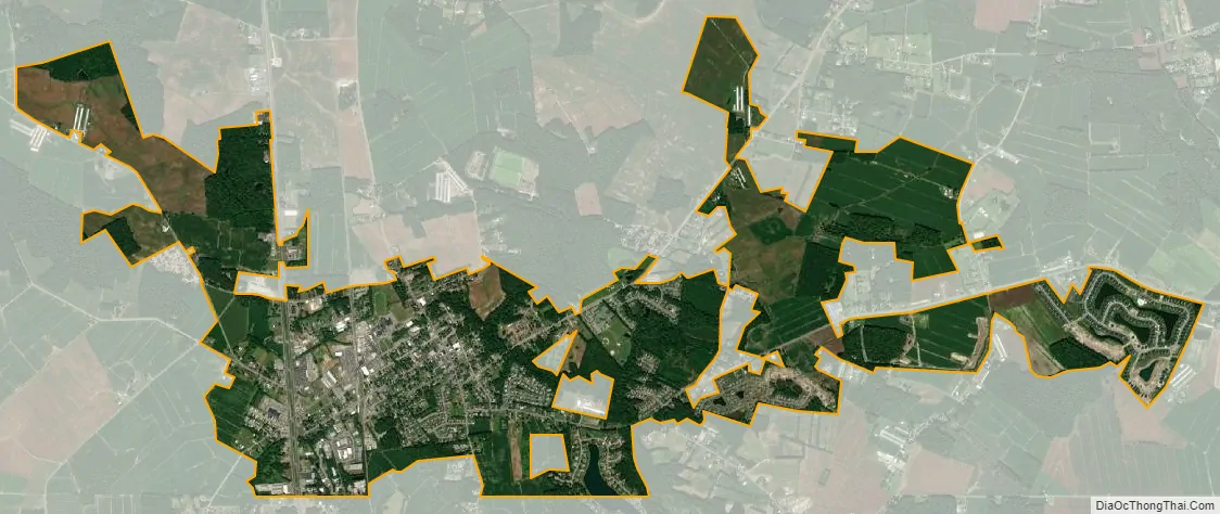
Selbyville city Satellite Map
Geography
Selbyville is located at 38°27′37″N 75°13′15″W / 38.46028°N 75.22083°W / 38.46028; -75.22083Coordinates: 38°27′37″N 75°13′15″W / 38.46028°N 75.22083°W / 38.46028; -75.22083 (38.4603917, –75.2207438).
According to the United States Census Bureau, the town has a total area of 1.4 square miles (3.6 km), all land.
See also
Map of Delaware State and its subdivision: Map of other states:- Alabama
- Alaska
- Arizona
- Arkansas
- California
- Colorado
- Connecticut
- Delaware
- District of Columbia
- Florida
- Georgia
- Hawaii
- Idaho
- Illinois
- Indiana
- Iowa
- Kansas
- Kentucky
- Louisiana
- Maine
- Maryland
- Massachusetts
- Michigan
- Minnesota
- Mississippi
- Missouri
- Montana
- Nebraska
- Nevada
- New Hampshire
- New Jersey
- New Mexico
- New York
- North Carolina
- North Dakota
- Ohio
- Oklahoma
- Oregon
- Pennsylvania
- Rhode Island
- South Carolina
- South Dakota
- Tennessee
- Texas
- Utah
- Vermont
- Virginia
- Washington
- West Virginia
- Wisconsin
- Wyoming


