Slaughter Beach is a town in Sussex County, Delaware, United States, located on the southwest shore of Delaware Bay. The population was 207 at the 2010 census, an increase of 4.5% over the past decade. It is part of the Salisbury, Maryland-Delaware Metropolitan Statistical Area.
| Name: | Slaughter Beach town |
|---|---|
| LSAD Code: | 43 |
| LSAD Description: | town (suffix) |
| State: | Delaware |
| County: | Sussex County |
| Elevation: | 7 ft (2 m) |
| Total Area: | 1.44 sq mi (3.74 km²) |
| Land Area: | 1.42 sq mi (3.68 km²) |
| Water Area: | 0.03 sq mi (0.06 km²) |
| Total Population: | 218 |
| Population Density: | 153.63/sq mi (59.31/km²) |
| Area code: | 302 |
| FIPS code: | 1067050 |
| GNISfeature ID: | 214663 |
| Website: | slaughterbeach.delaware.gov |
Online Interactive Map
Click on ![]() to view map in "full screen" mode.
to view map in "full screen" mode.
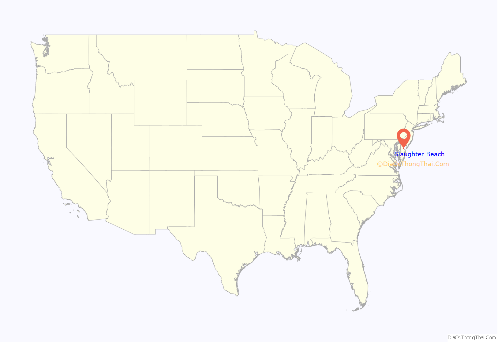
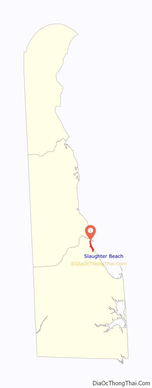
Slaughter Beach location map. Where is Slaughter Beach town?
History
Slaughter Beach was founded in 1681 and incorporated in 1931. There are at least three stories of where the town’s name came from: The first is that it was named after William Slaughter, a local postmaster in the mid-19th century. The second story claims “the name may stem from the annual springtime appearance of hordes of horseshoe crabs that emerge from the waters of Delaware Bay to lay their eggs on the beach. Changing tides leave many crabs stranded, so that they fall victim to the beating sun or maraudinf foxes and raccoons—hence the name ‘Slaughter Beach.'” The third story, and the most contested source of the town’s name, stems from a local legend which tells of a man named Brabant who, in the mid-18th century, “slaughtered” several indigenous inhabitants by cannon in order to prevent an impending massacre. In 2018, PETA wrote to the mayor and followed up with a press release requesting the town change its name to “Sanctuary Beach” and offered to help pay for new signage if the name was adopted.
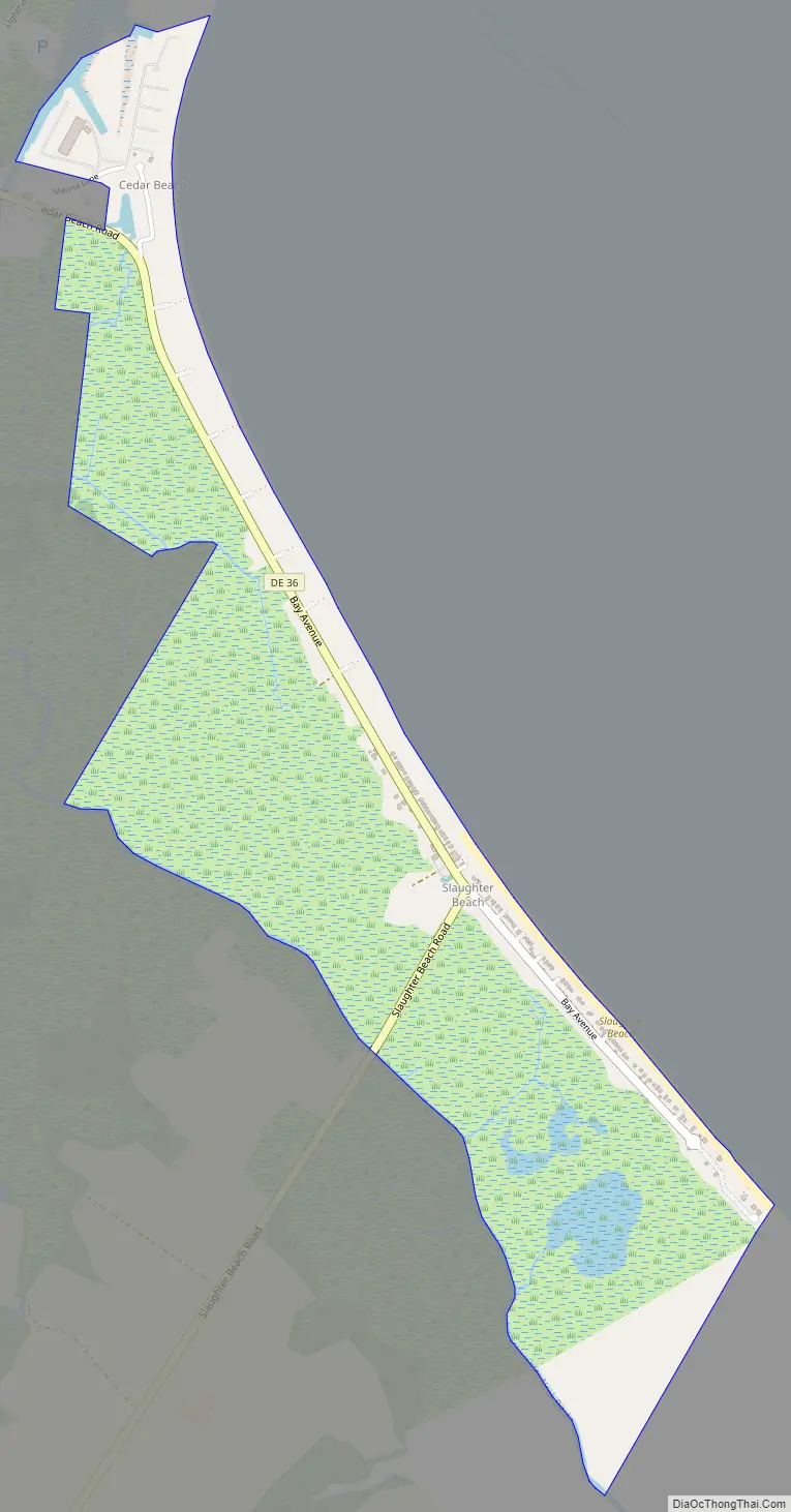
Slaughter Beach Road Map
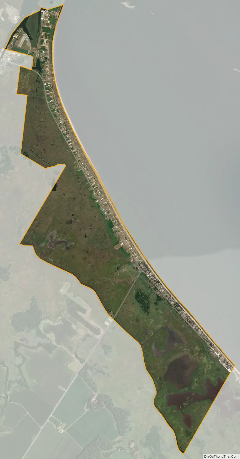
Slaughter Beach city Satellite Map
Geography
Slaughter Beach is located at 38°54′46″N 75°18′15″W / 38.91278°N 75.30417°W / 38.91278; -75.30417 (38.9128903, –75.3040800).
According to the United States Census Bureau, the town has a total area of 1.3 square miles (3.4 km), all land.
See also
Map of Delaware State and its subdivision: Map of other states:- Alabama
- Alaska
- Arizona
- Arkansas
- California
- Colorado
- Connecticut
- Delaware
- District of Columbia
- Florida
- Georgia
- Hawaii
- Idaho
- Illinois
- Indiana
- Iowa
- Kansas
- Kentucky
- Louisiana
- Maine
- Maryland
- Massachusetts
- Michigan
- Minnesota
- Mississippi
- Missouri
- Montana
- Nebraska
- Nevada
- New Hampshire
- New Jersey
- New Mexico
- New York
- North Carolina
- North Dakota
- Ohio
- Oklahoma
- Oregon
- Pennsylvania
- Rhode Island
- South Carolina
- South Dakota
- Tennessee
- Texas
- Utah
- Vermont
- Virginia
- Washington
- West Virginia
- Wisconsin
- Wyoming


