Woodside is a town in Kent County, Delaware, United States. It is part of the Dover, Delaware Metropolitan Statistical Area. The population was 190 in 2020.
| Name: | Woodside town |
|---|---|
| LSAD Code: | 43 |
| LSAD Description: | town (suffix) |
| State: | Delaware |
| County: | Kent County |
| Incorporated: | April 4, 1911 |
| Elevation: | 59 ft (18 m) |
| Total Area: | 0.17 sq mi (0.43 km²) |
| Land Area: | 0.17 sq mi (0.43 km²) |
| Water Area: | 0.00 sq mi (0.00 km²) |
| Total Population: | 190 |
| Population Density: | 1,130.95/sq mi (436.98/km²) |
| ZIP code: | 19980 |
| Area code: | 302 |
| FIPS code: | 1080830 |
| GNISfeature ID: | 214881 |
| Website: | woodside.delaware.gov |
Online Interactive Map
Click on ![]() to view map in "full screen" mode.
to view map in "full screen" mode.
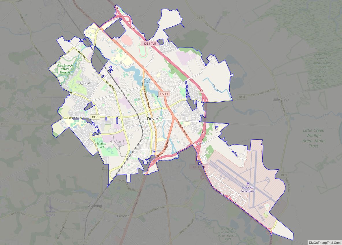
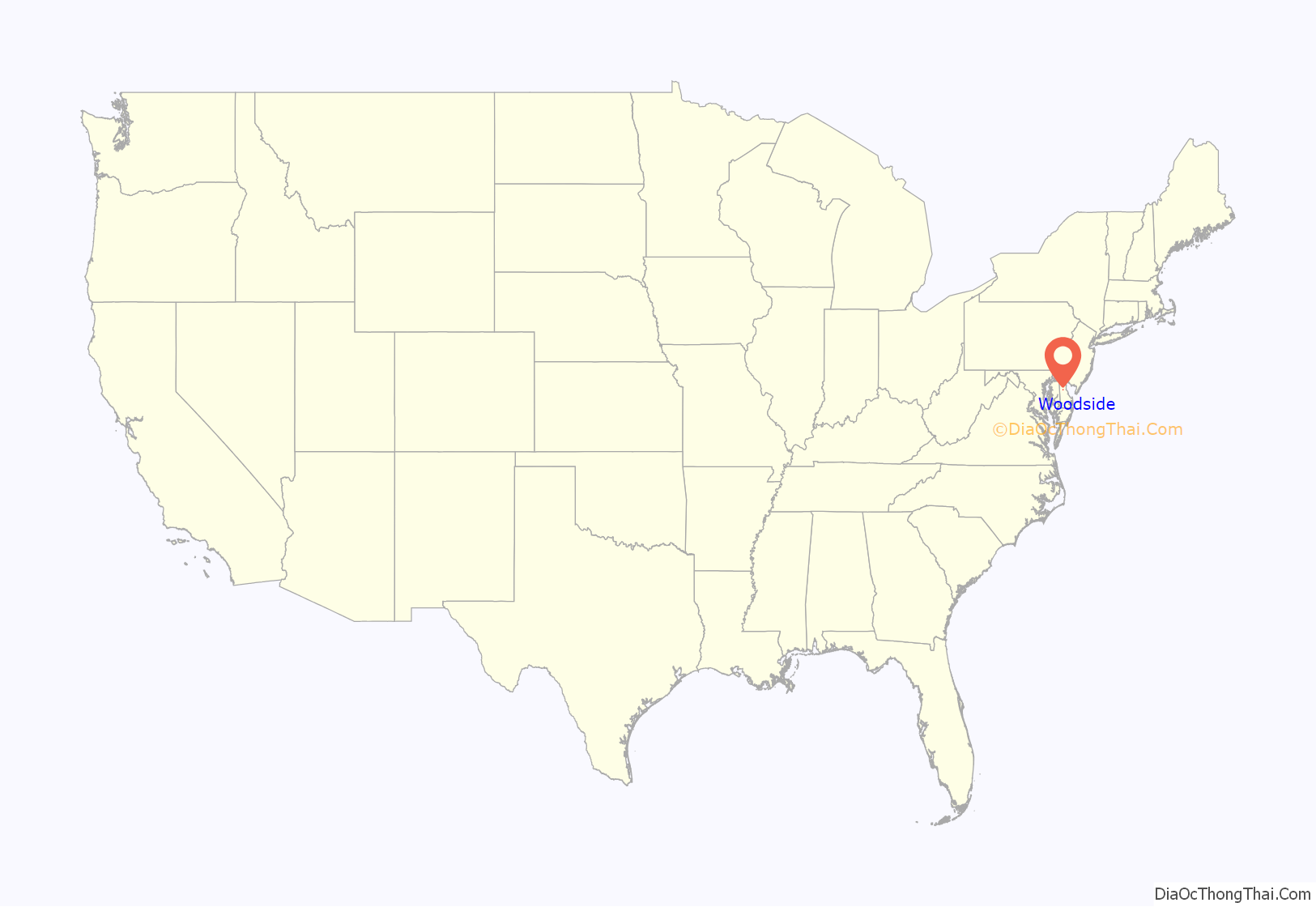
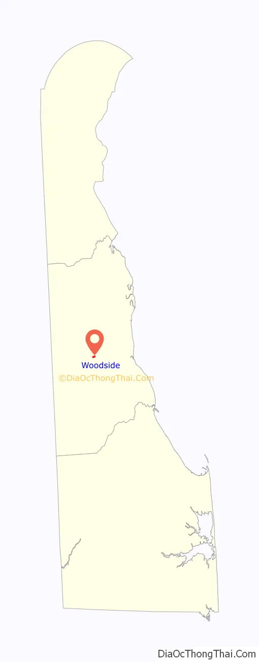
Woodside location map. Where is Woodside town?
History
Woodside was originally named the “Village of Fredonia” and underwent a name change to Woodside that was passed by the Delaware General Assembly on March 17, 1869. Woodside developed as a shipping center for fruit and grain after the Delaware Railroad was built in 1856. The Woodside Methodist Episcopal Church was listed on the National Register of Historic Places in 1996.
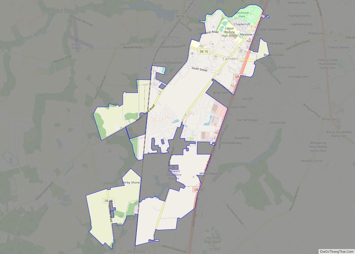
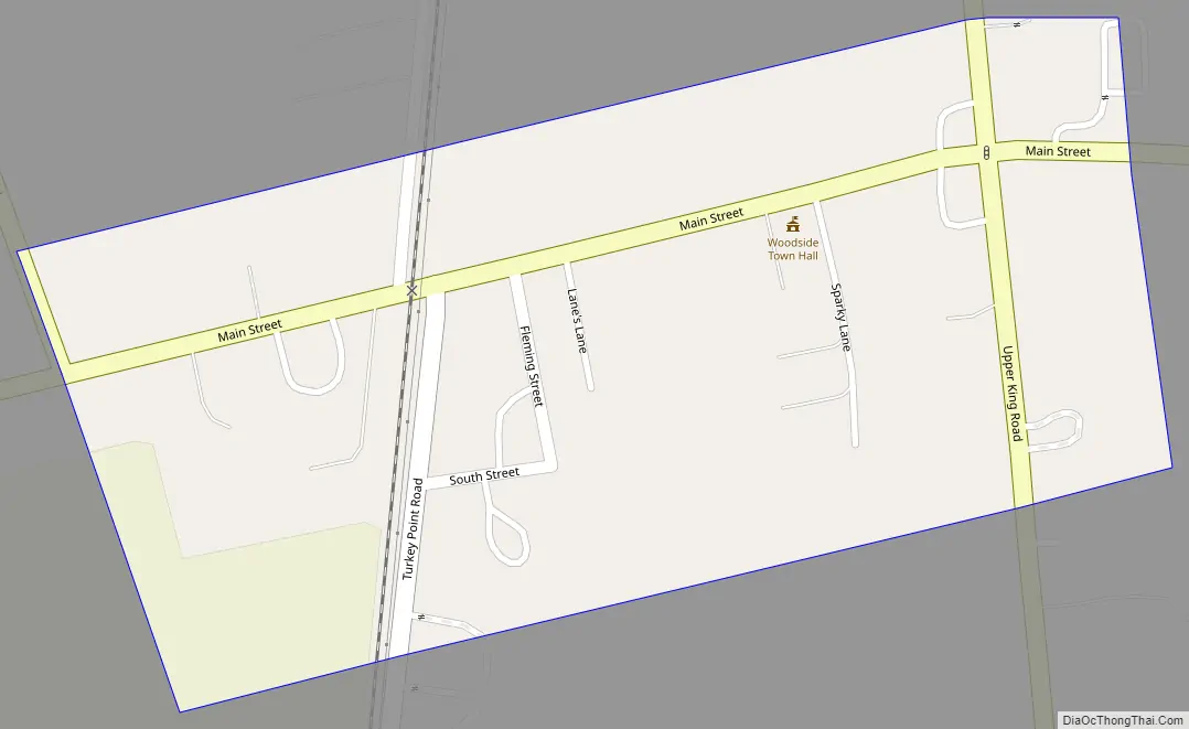
Woodside Road Map
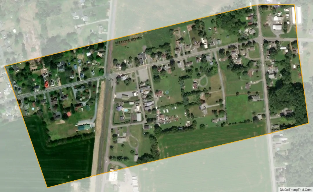
Woodside city Satellite Map
Geography
Woodside is located at 39°04′17″N 75°34′06″W / 39.07139°N 75.56833°W / 39.07139; -75.56833 (39.0715017, –75.5682584).
According to the United States Census Bureau, the town has a total area of 0.2 square miles (0.52 km), all land.
See also
Map of Delaware State and its subdivision: Map of other states:- Alabama
- Alaska
- Arizona
- Arkansas
- California
- Colorado
- Connecticut
- Delaware
- District of Columbia
- Florida
- Georgia
- Hawaii
- Idaho
- Illinois
- Indiana
- Iowa
- Kansas
- Kentucky
- Louisiana
- Maine
- Maryland
- Massachusetts
- Michigan
- Minnesota
- Mississippi
- Missouri
- Montana
- Nebraska
- Nevada
- New Hampshire
- New Jersey
- New Mexico
- New York
- North Carolina
- North Dakota
- Ohio
- Oklahoma
- Oregon
- Pennsylvania
- Rhode Island
- South Carolina
- South Dakota
- Tennessee
- Texas
- Utah
- Vermont
- Virginia
- Washington
- West Virginia
- Wisconsin
- Wyoming