Wyoming is a town in Kent County, Delaware, United States. It was named after the Wyoming Valley in Pennsylvania. It is part of the Dover, Delaware, Metropolitan Statistical Area. The population was 1,680 in 2020.
| Name: | Wyoming town |
|---|---|
| LSAD Code: | 43 |
| LSAD Description: | town (suffix) |
| State: | Delaware |
| County: | Kent County |
| Elevation: | 39 ft (12 m) |
| Total Area: | 1.06 sq mi (2.75 km²) |
| Land Area: | 1.05 sq mi (2.71 km²) |
| Water Area: | 0.02 sq mi (0.04 km²) |
| Total Population: | 1,680 |
| Population Density: | 1,604.58/sq mi (619.74/km²) |
| ZIP code: | 19934 |
| Area code: | 302 |
| FIPS code: | 1081350 |
| GNISfeature ID: | 217870 |
| Website: | wyoming.delaware.gov |
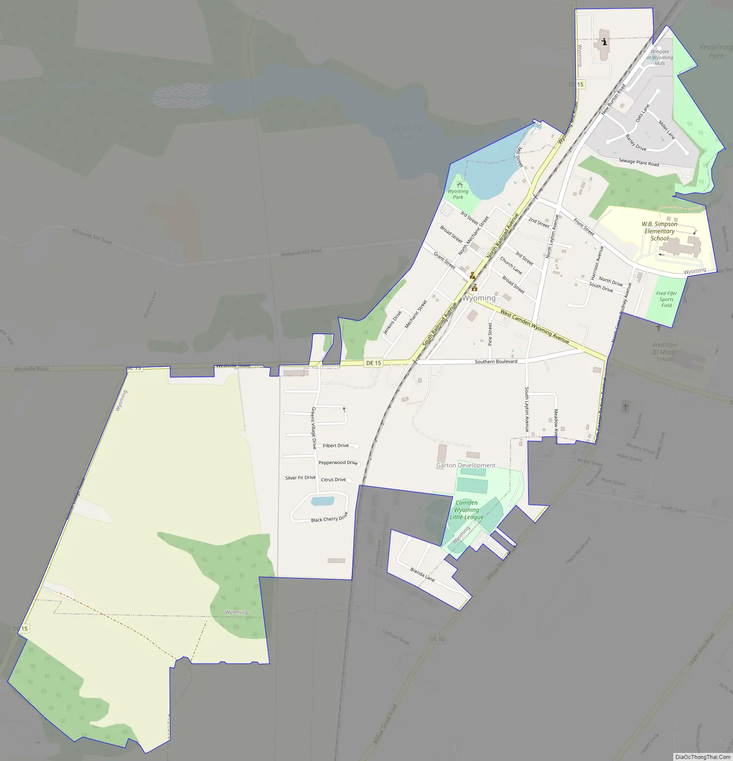
Online Interactive Map
Click on ![]() to view map in "full screen" mode.
to view map in "full screen" mode.
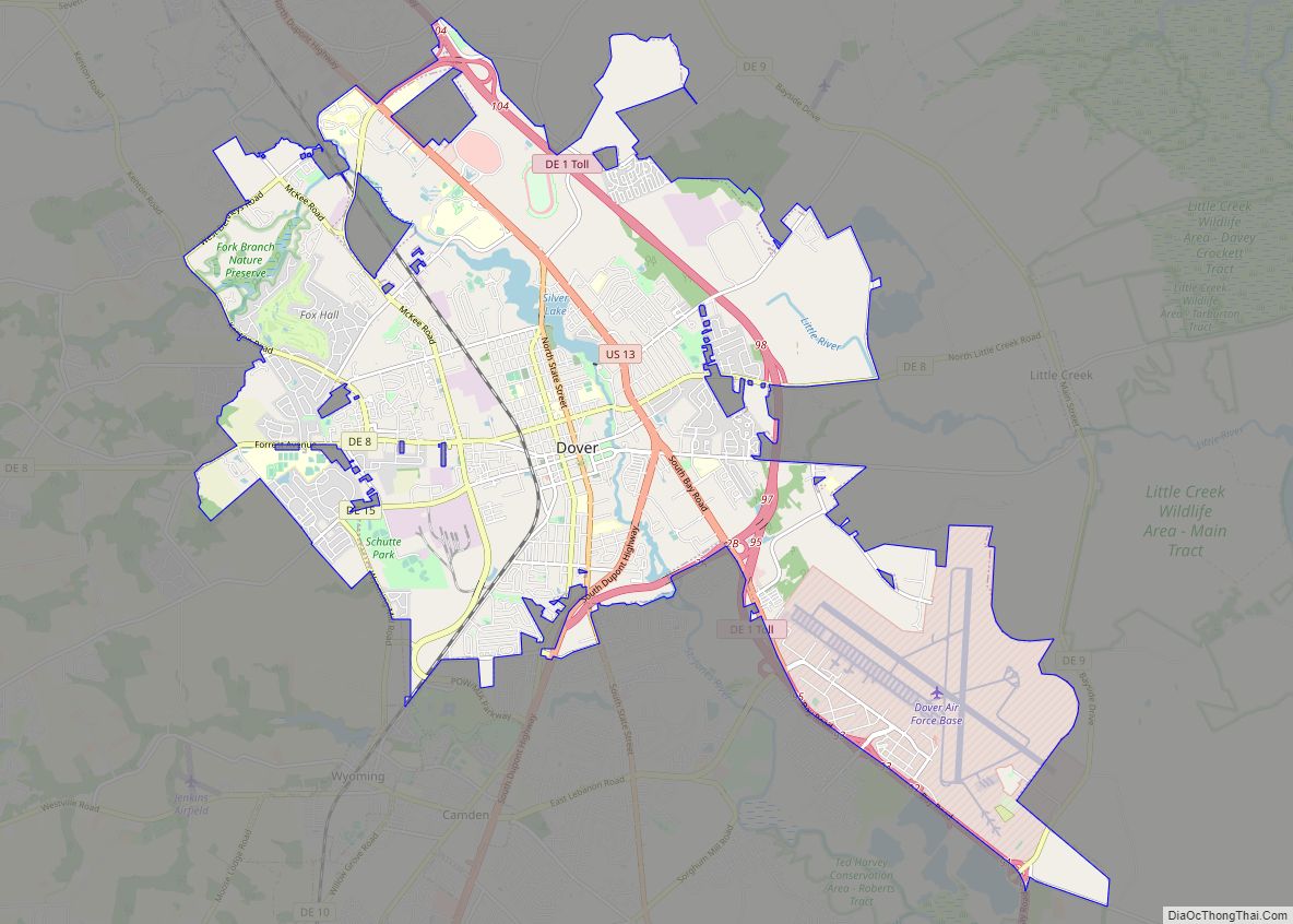
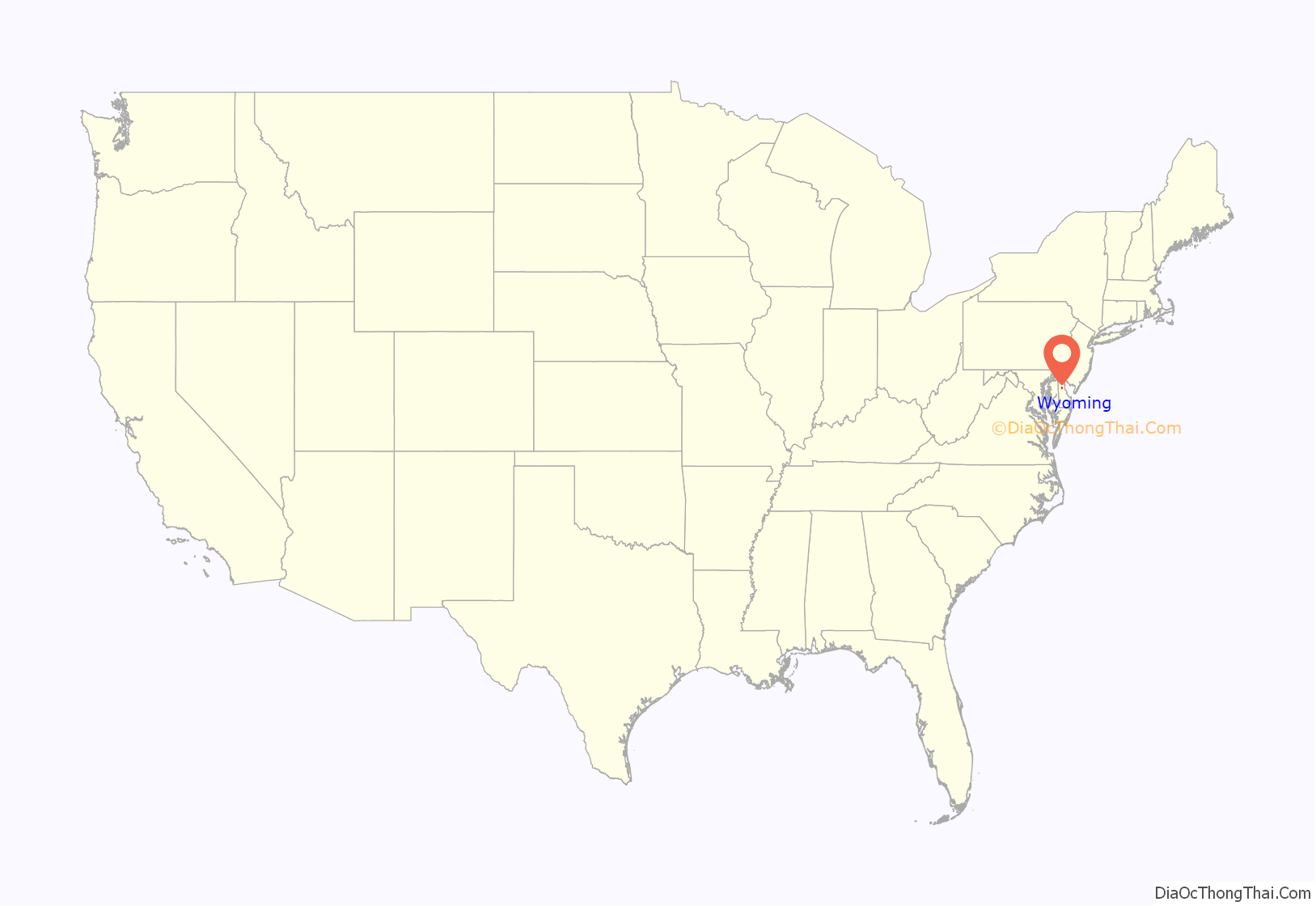
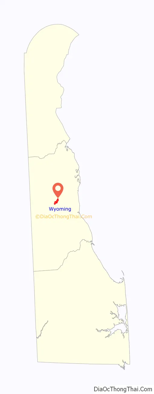
Wyoming location map. Where is Wyoming town?
History
The community started when the nearby town of Camden would not grant access to the Delaware Railroad (later part of the Pennsylvania Railroad), which bypassed the town and built a railroad station one mile west of the center of town and named the area West Camden. In 1865, minister John J. Pierce moved to West Camden from the Wyoming Valley and laid out plots for new housing. Several individuals from the Wyoming Valley moved to the new community and it was decided to rename the community. The community, “Desiring to sever any shared identity or connection with Camden, residents chose to honor the new citizens by changing the name of the community to Wyoming.” A post office was erected in 1866 and the community was incorporated into a town in 1869.
The Lewis Family Tenant Agricultural Complex, Wyoming Historic District, and Wyoming Railroad Station are listed on the National Register of Historic Places.
On February 22, 1975, a vote was held to merge with the bordering town of Camden; the residents of Camden voted 117 to 49 in favor of merging the towns, but the measure failed when Wyoming residents voted against the measure, 113 against to 78 in favor. The Wyoming town council had previously opposed a merger attempt in 1967.
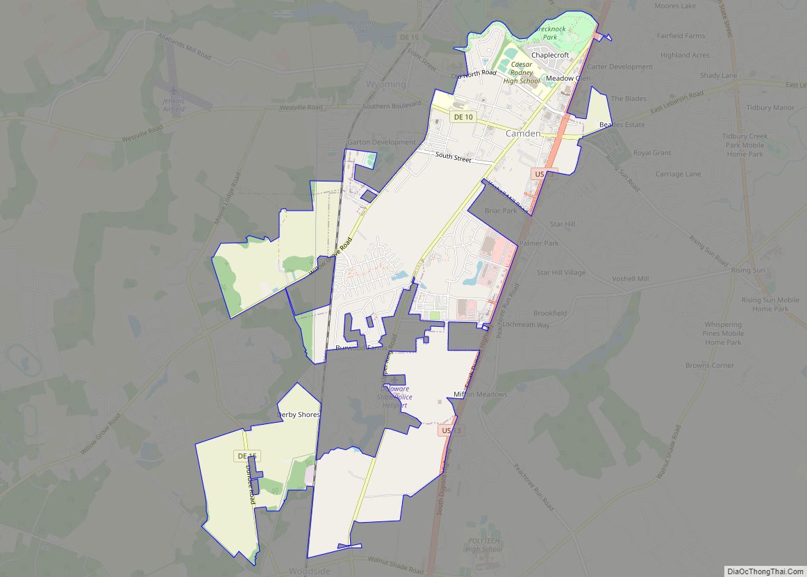
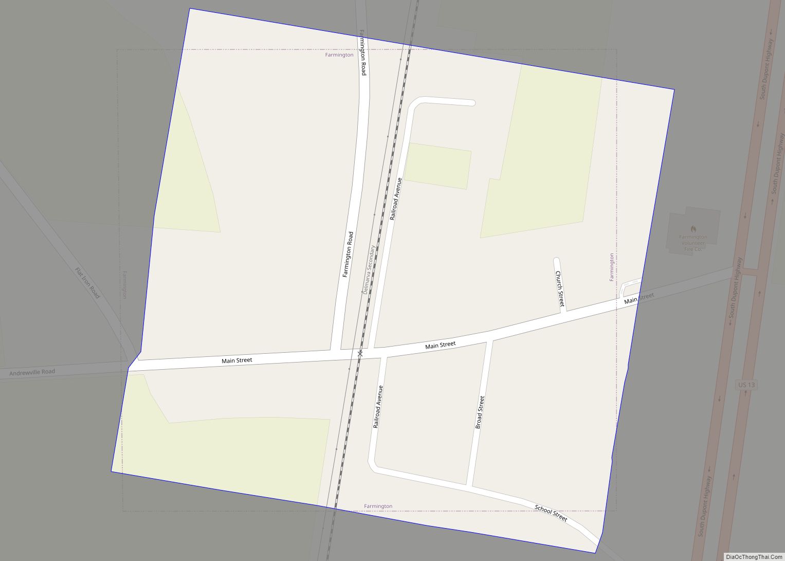
Wyoming Road Map
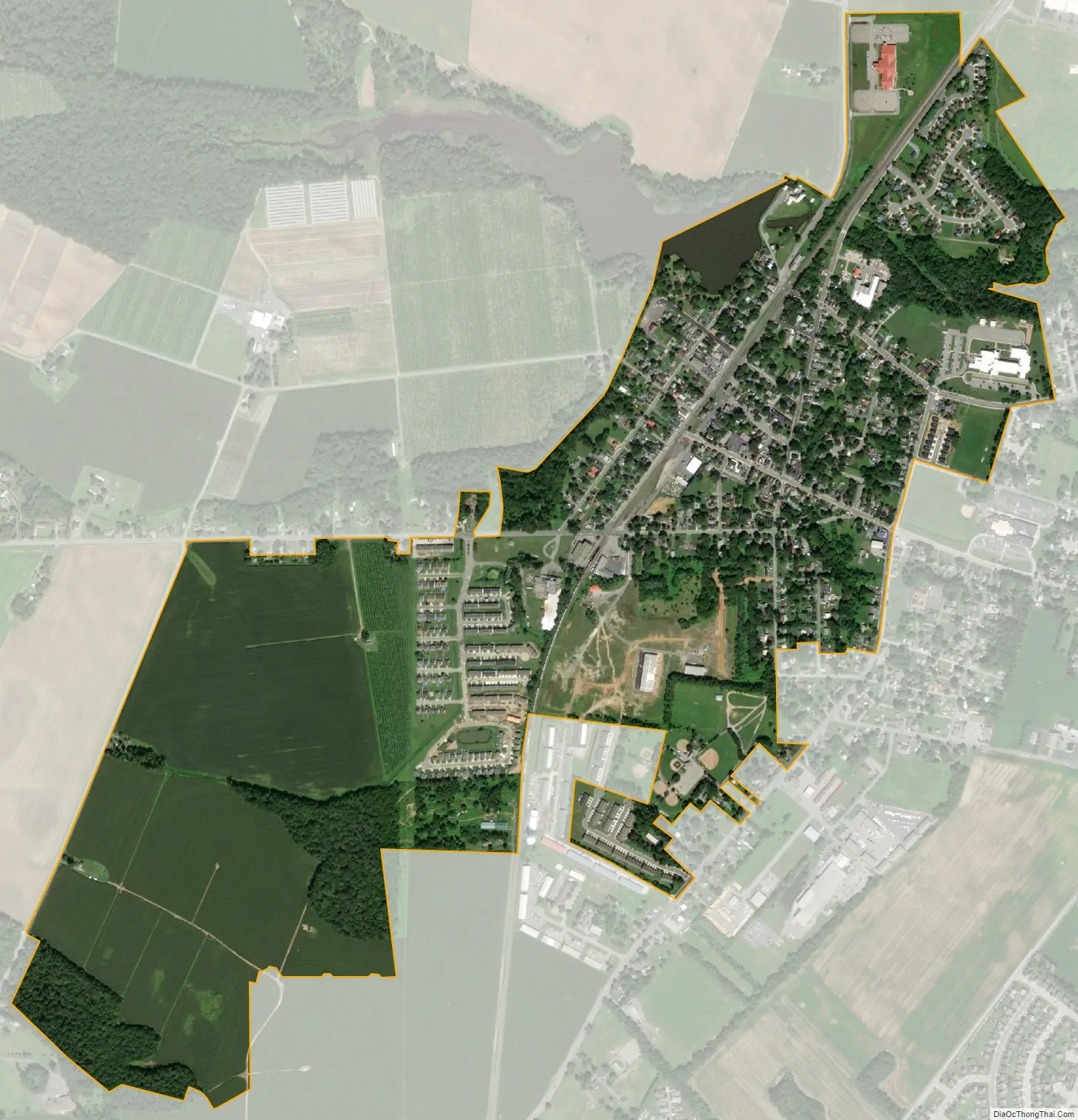
Wyoming city Satellite Map
Geography
Wyoming is located at 39°07′05″N 75°33′32″W / 39.11806°N 75.55889°W / 39.11806; -75.55889 (39.1181681, –75.5588139).
According to the United States Census Bureau, the town has a total area of 0.7 square miles (1.8 km), of which 0.7 square miles (1.8 km) is land and 0.04 square miles (0.10 km) (2.90%) is water.
Climate
The climate in this area is characterized by hot, humid summers and generally mild to cool winters. According to the Köppen Climate Classification system, Wyoming has a humid subtropical climate, abbreviated “Cfa” on climate maps.
See also
Map of Delaware State and its subdivision: Map of other states:- Alabama
- Alaska
- Arizona
- Arkansas
- California
- Colorado
- Connecticut
- Delaware
- District of Columbia
- Florida
- Georgia
- Hawaii
- Idaho
- Illinois
- Indiana
- Iowa
- Kansas
- Kentucky
- Louisiana
- Maine
- Maryland
- Massachusetts
- Michigan
- Minnesota
- Mississippi
- Missouri
- Montana
- Nebraska
- Nevada
- New Hampshire
- New Jersey
- New Mexico
- New York
- North Carolina
- North Dakota
- Ohio
- Oklahoma
- Oregon
- Pennsylvania
- Rhode Island
- South Carolina
- South Dakota
- Tennessee
- Texas
- Utah
- Vermont
- Virginia
- Washington
- West Virginia
- Wisconsin
- Wyoming