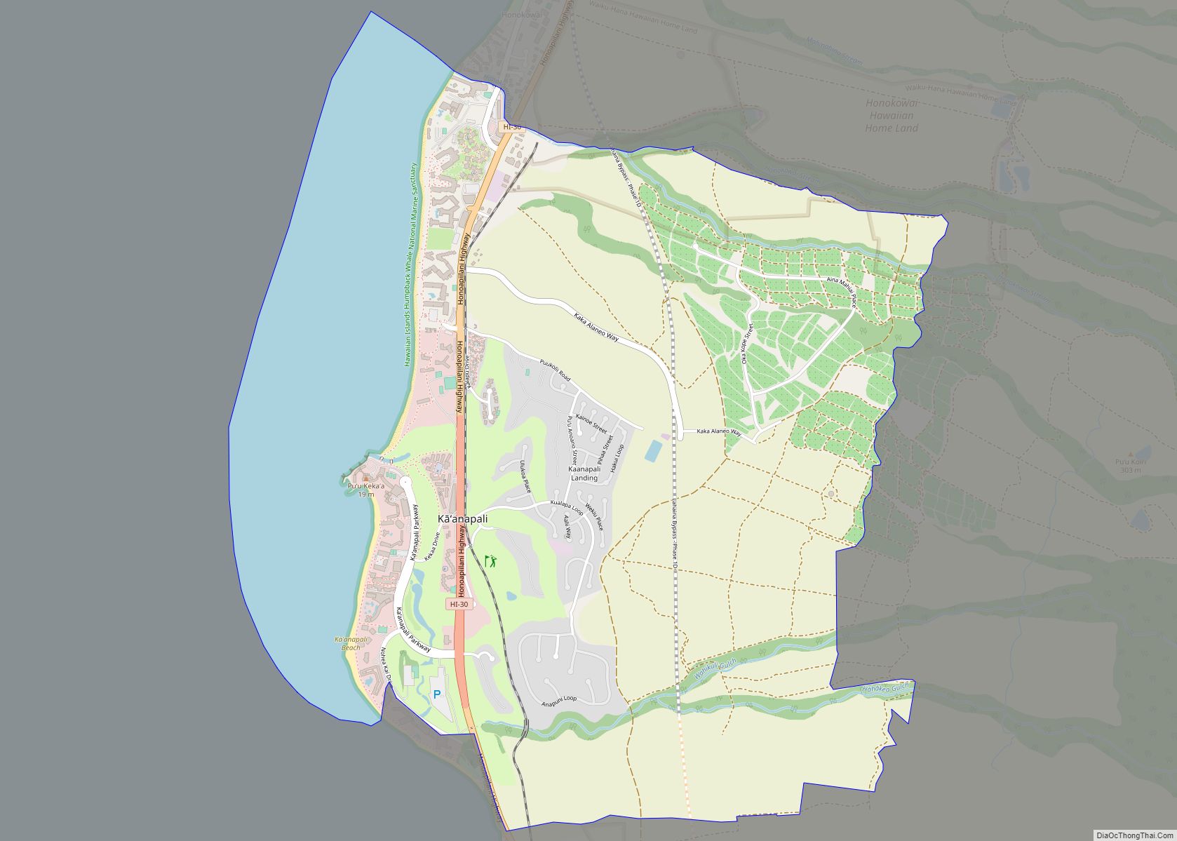
Lahaina (Hawaiian: Lāhainā) is the largest census-designated place (CDP) in West Maui, Maui County, Hawaii, United States and includes the Kaanapali and Kapalua beach resorts. As of the 2020 census, the CDP had a resident population of 12,702. Lahaina encompasses the coast along Hawaii Route 30 from a tunnel at the south end, through Olowalu and to the CDP of Napili-Honokowai to the north. During the tourist season, the population can swell to nearly 40,000 people.
Lahaina’s popularity as a tropical getaway has made its real estate some of the most expensive in Hawaii; many houses and condominiums sell for more than $5 million.
| Name: | Lahaina CDP |
|---|---|
| LSAD Code: | 57 |
| LSAD Description: | CDP (suffix) |
| State: | Hawaii |
| County: | Maui County |
| Elevation: | 3 ft (1 m) |
| Total Area: | 9.29 sq mi (24.07 km²) |
| Land Area: | 7.78 sq mi (20.15 km²) |
| Water Area: | 1.51 sq mi (3.92 km²) |
| Total Population: | 12,702 |
| Population Density: | 1,632.44/sq mi (630.26/km²) |
| ZIP code: | 96761, 96767 |
| Area code: | 808 |
| FIPS code: | 1542950 |
| GNISfeature ID: | 0361678 |
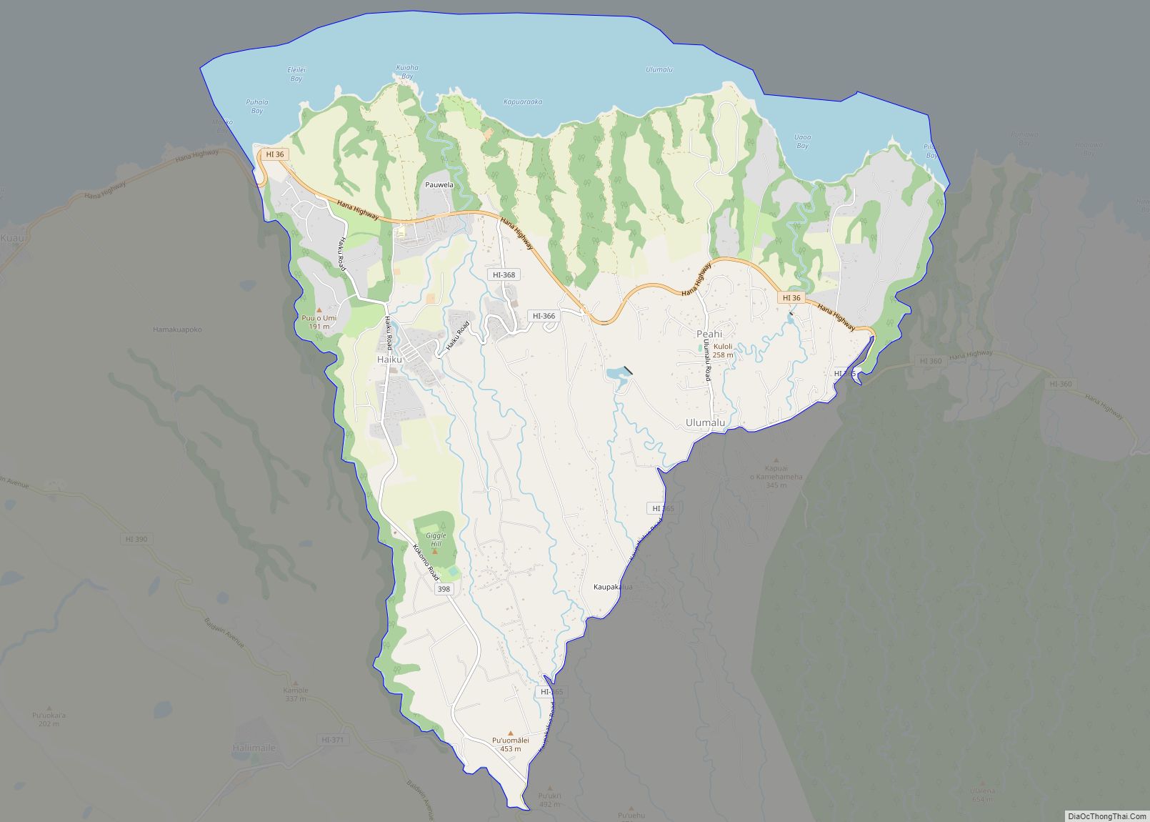
Online Interactive Map
Click on ![]() to view map in "full screen" mode.
to view map in "full screen" mode.
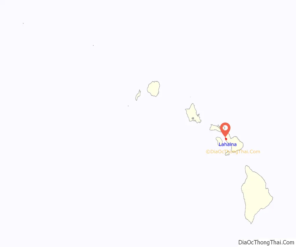
Lahaina location map. Where is Lahaina CDP?
History
In days of native rule Lahaina was the royal capital of Maui Loa, aliʻi nui (“high chief”) of the island of Maui, after he ceded the royal seat of Hana to the ruler of Hawaii Island. In Lahaina, the focus of activity is along Front Street, which dates back to the 1820s. It is lined with stores and restaurants and often packed with tourists. The Banyan Court Park features an exceptionally large banyan tree (Ficus benghalensis) planted by William Owen Smith on April 24, 1873, to commemorate the 50th anniversary of the arrival of Christian missionaries. It is also the site of the reconstructed ruins of Lahaina Fort, originally built in 1832. It is the largest Banyan Tree in the United States.
Lele was an ancient name of Lahaina. The Hawaiian language name Lā hainā means “cruel sun”, describing the sunny dry climate. Lahaina’s historic district averages only 13 inches (330 mm) of rain per year, much of which occurs from December to February.
In 1795, before unification of the islands, the town was conquered by Kamehameha the Great. Lahaina was the capital of the Kingdom of Hawaii from 1802 to 1845. King Kamehameha III, son of Kamehameha I, preferred the town to bustling Honolulu. He built a palace complex on a 1 acre (0.40 ha) island Mokuʻula surrounded by a pond called Moku Hina, said to be home to Kiwahine, a spiritual protector of Maui and the Pi’ilani royal line, near the center of town.
In 1824, at the chiefs’ request, Betsey Stockton started the first mission school open to the common people. It was once an important destination for the 19th-century whaling fleet, whose presence at Lahaina frequently led to conflicts with the Christian missionaries living there. On more than one occasion the conflict was so severe that it led to sailor riots and even the shelling of Lahaina by the British whaler John Palmer in 1827.
In response, Maui Governor Hoapili built the Old Lahaina Fort in 1831 to protect the town from riotous sailors.
Lahaina was the capital of the Kingdom of Hawaii from 1820 to 1845, when the capital was moved back to Honolulu. In the 19th century, Lahaina was the center of the global whaling industry, with many sailing ships anchoring at its waterfront; today pleasure craft make their home there. Lahaina’s Front Street has been ranked one of the “Top Ten Greatest Streets” by the American Planning Association.
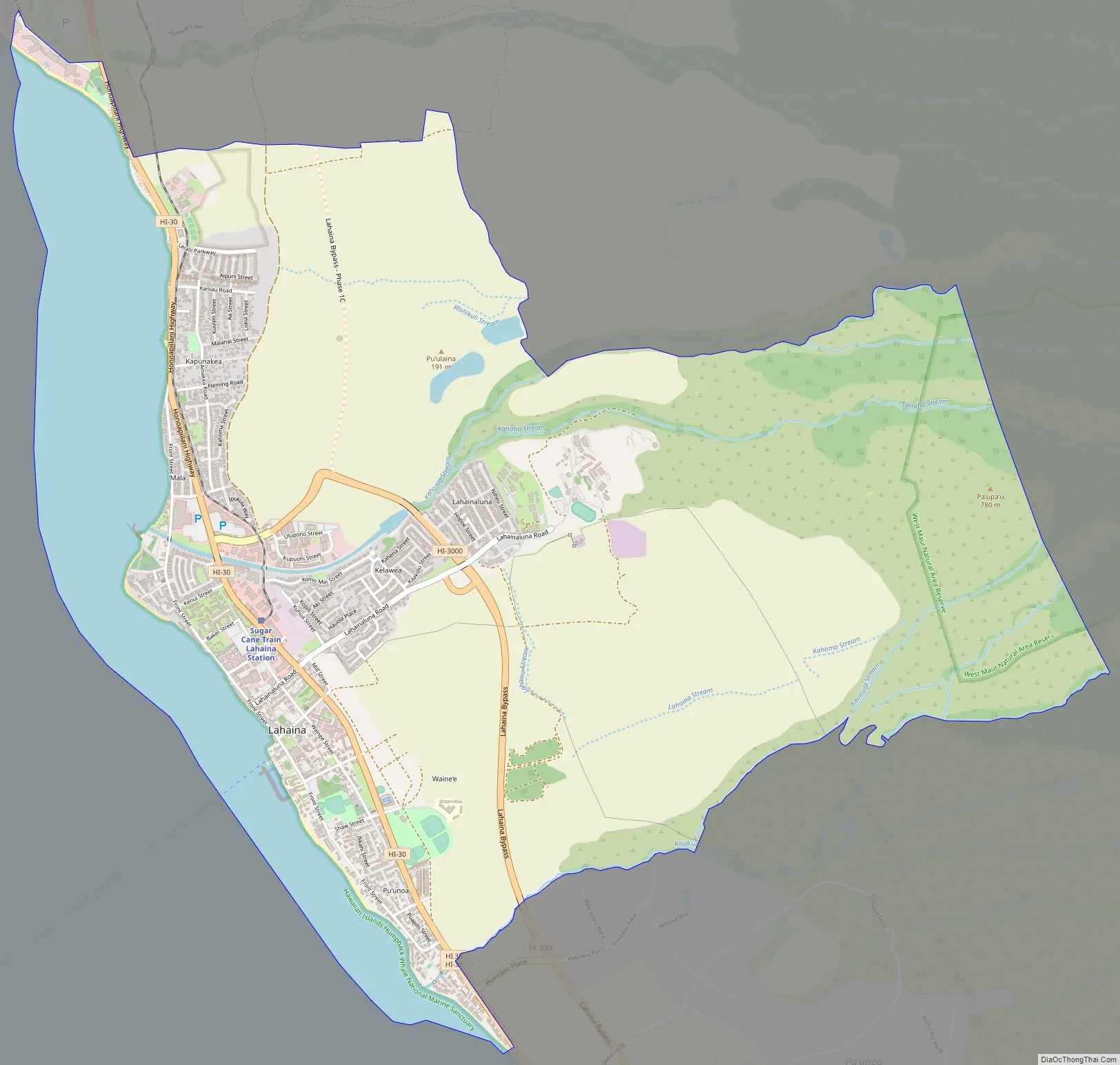
Lahaina Road Map
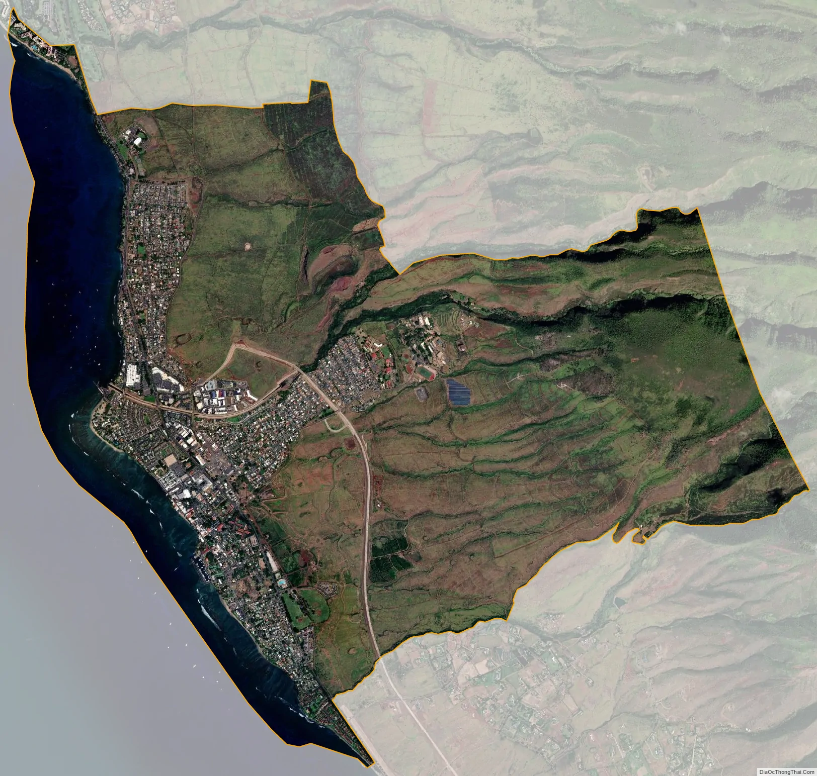
Lahaina city Satellite Map
Geography
According to the United States Census Bureau, the CDP has a total area of 9.3 square miles (24.1 km), of which 7.8 square miles (20.2 km) is land and 1.5 square miles (3.9 km), or 16.26%, is water.
See also
Map of Hawaii State and its subdivision: Map of other states:- Alabama
- Alaska
- Arizona
- Arkansas
- California
- Colorado
- Connecticut
- Delaware
- District of Columbia
- Florida
- Georgia
- Hawaii
- Idaho
- Illinois
- Indiana
- Iowa
- Kansas
- Kentucky
- Louisiana
- Maine
- Maryland
- Massachusetts
- Michigan
- Minnesota
- Mississippi
- Missouri
- Montana
- Nebraska
- Nevada
- New Hampshire
- New Jersey
- New Mexico
- New York
- North Carolina
- North Dakota
- Ohio
- Oklahoma
- Oregon
- Pennsylvania
- Rhode Island
- South Carolina
- South Dakota
- Tennessee
- Texas
- Utah
- Vermont
- Virginia
- Washington
- West Virginia
- Wisconsin
- Wyoming