Pukalani is a census-designated place (CDP) in Maui County, Hawaiʻi, United States. The population was 8,299 at the 2020 census. The general volcano-slope region, including nearby Makawao and Kula, is referred to as upcountry by locals, and is one of the four major population centers on Maui, the other three being Kahului, Lahaina and Kīhei, all of which are at sea level.
| Name: | Pukalani CDP |
|---|---|
| LSAD Code: | 57 |
| LSAD Description: | CDP (suffix) |
| State: | Hawaii |
| County: | Maui County |
| Elevation: | 1,526 ft (465 m) |
| Total Area: | 3.77 sq mi (9.77 km²) |
| Land Area: | 3.77 sq mi (9.77 km²) |
| Water Area: | 0.00 sq mi (0.00 km²) |
| Total Population: | 8,299 |
| Population Density: | 2,199.58/sq mi (849.18/km²) |
| ZIP code: | 96788 |
| Area code: | 808 |
| FIPS code: | 1565900 |
| GNISfeature ID: | 0363512 |
Online Interactive Map
Click on ![]() to view map in "full screen" mode.
to view map in "full screen" mode.
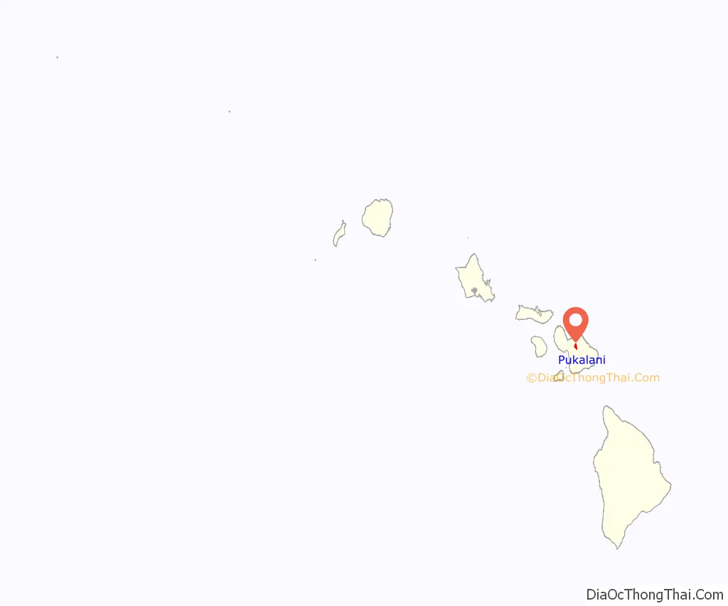
Pukalani location map. Where is Pukalani CDP?
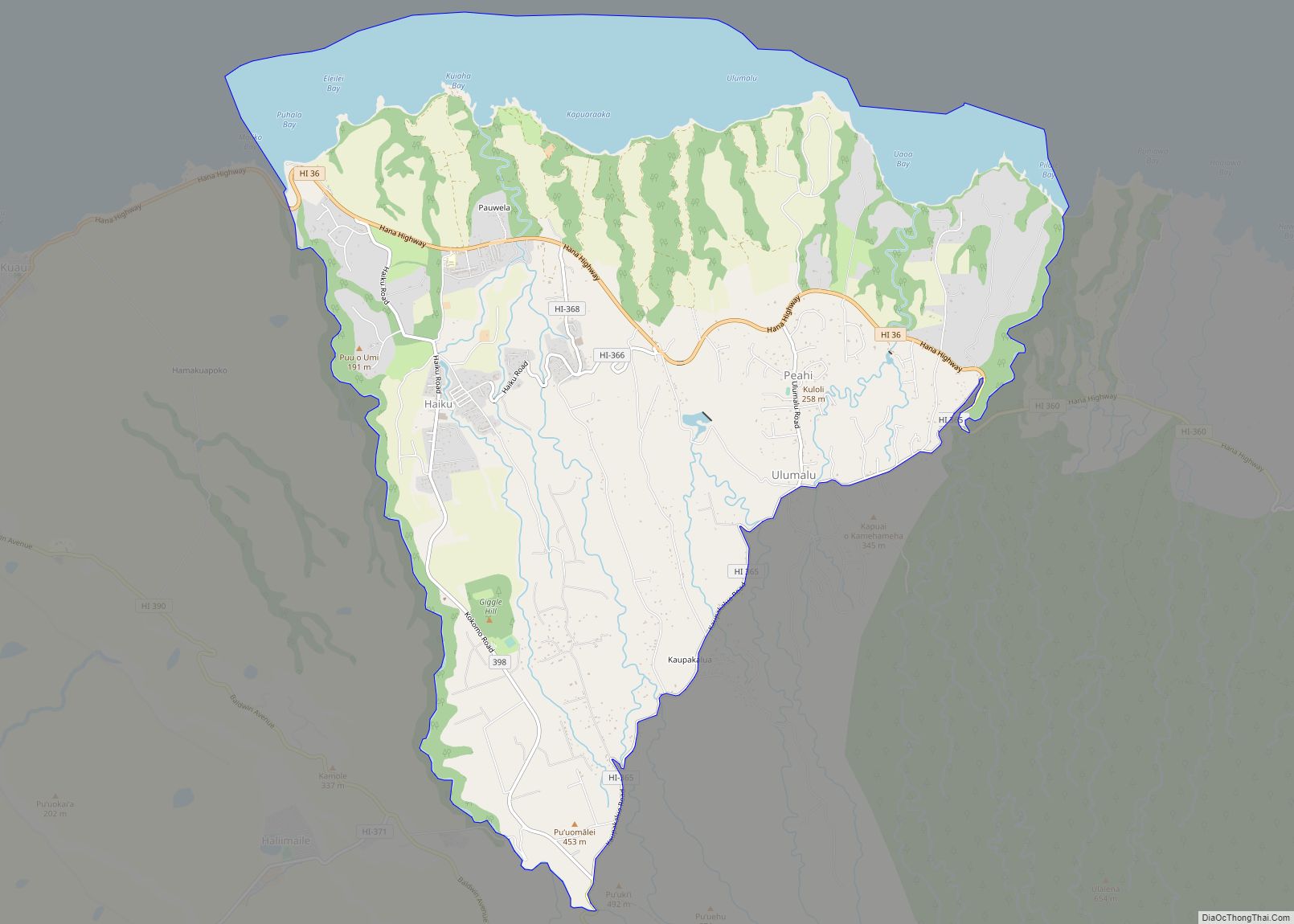
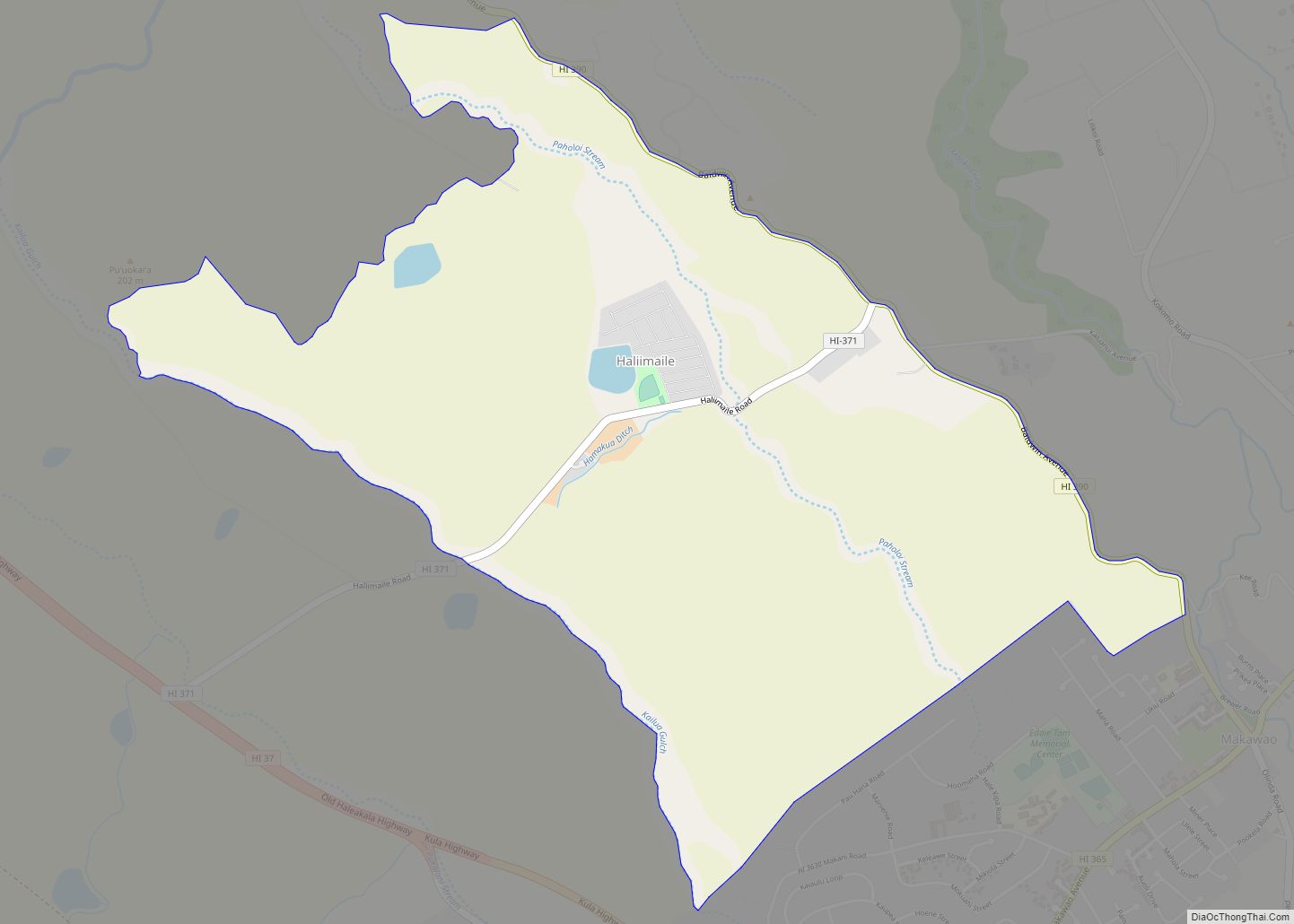
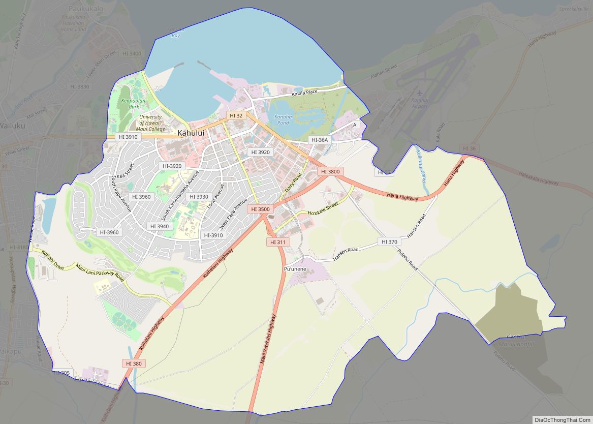
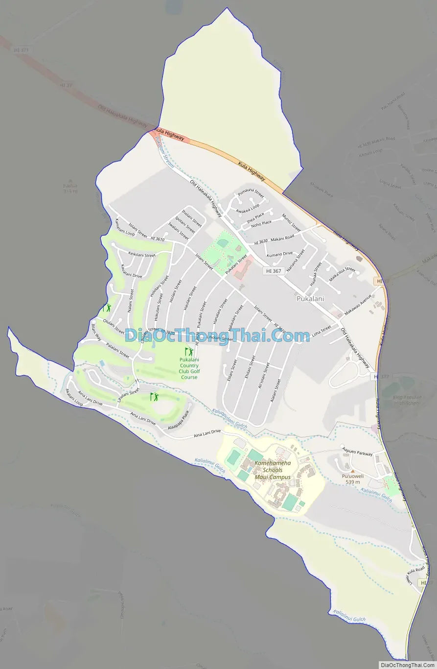
Pukalani Road Map
Pukalani city Satellite Map
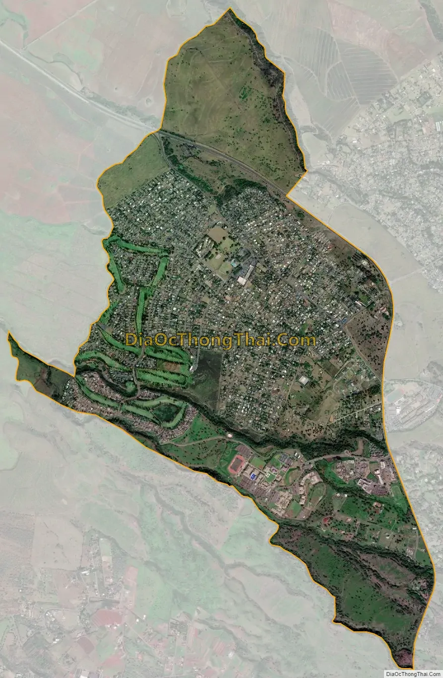
Geography
Pukalani is located at 20°50′24″N 156°20′38″W / 20.84000°N 156.34389°W / 20.84000; -156.34389 (20.840039, -156.343808).
According to the United States Census Bureau, the CDP has a total area of 4.3 square miles (11.1 km), all of it land.
Pukalani (pronounced Poo-cah-lah-nee) in Hawaiian means “window of heaven”. It has also been said it was originally called Pu’ukalani meaning hill of heaven. It is commonly misinterpreted to mean “hole in the sky”. This misinterpretation comes from the plantation and immigration movement to Hawa’i’i, uniting multiple cultures and creating a new language called “Pidgin” or “Pidgin English” referring to Puka as hole. Clouds form above and below the community on Haleakalā, leaving Pukalani sunny most of the time. With cool and often brisk temperatures. Pukalani is one of the few places besides Haleakala and Kula that one can view the northern, western, and eastern sides of Maui.
See also
Map of Hawaii State and its subdivision: Map of other states:- Alabama
- Alaska
- Arizona
- Arkansas
- California
- Colorado
- Connecticut
- Delaware
- District of Columbia
- Florida
- Georgia
- Hawaii
- Idaho
- Illinois
- Indiana
- Iowa
- Kansas
- Kentucky
- Louisiana
- Maine
- Maryland
- Massachusetts
- Michigan
- Minnesota
- Mississippi
- Missouri
- Montana
- Nebraska
- Nevada
- New Hampshire
- New Jersey
- New Mexico
- New York
- North Carolina
- North Dakota
- Ohio
- Oklahoma
- Oregon
- Pennsylvania
- Rhode Island
- South Carolina
- South Dakota
- Tennessee
- Texas
- Utah
- Vermont
- Virginia
- Washington
- West Virginia
- Wisconsin
- Wyoming