Alpine is a town in Lincoln County, Wyoming, United States. The population was 828 at the 2010 census.
| Name: | Alpine town |
|---|---|
| LSAD Code: | 43 |
| LSAD Description: | town (suffix) |
| State: | Wyoming |
| County: | Lincoln County |
| Elevation: | 5,633 ft (1,717 m) |
| Total Area: | 1.00 sq mi (2.58 km²) |
| Land Area: | 0.99 sq mi (2.57 km²) |
| Water Area: | 0.00 sq mi (0.01 km²) |
| Total Population: | 828 |
| Population Density: | 930.51/sq mi (359.29/km²) |
| ZIP code: | 83128 |
| Area code: | 307 |
| FIPS code: | 5601695 |
| GNISfeature ID: | 1597727 |
| Website: | www.alpinewyoming.org |
Online Interactive Map
Click on ![]() to view map in "full screen" mode.
to view map in "full screen" mode.
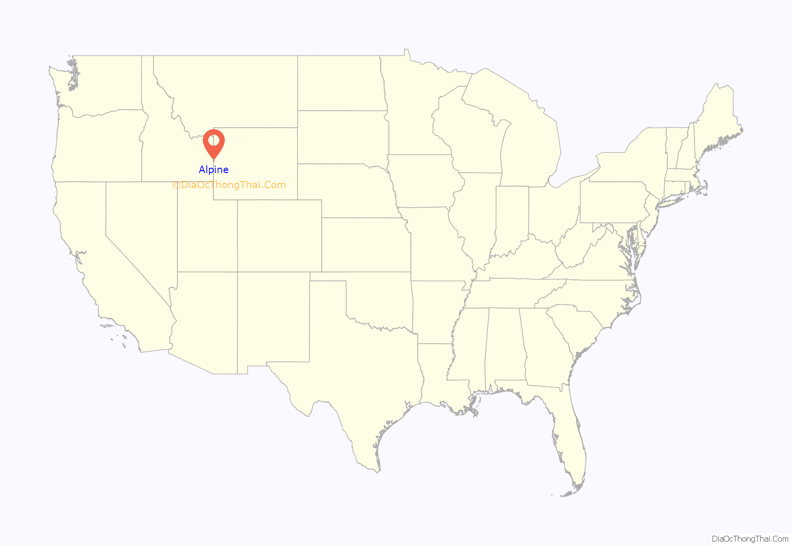
Alpine location map. Where is Alpine town?
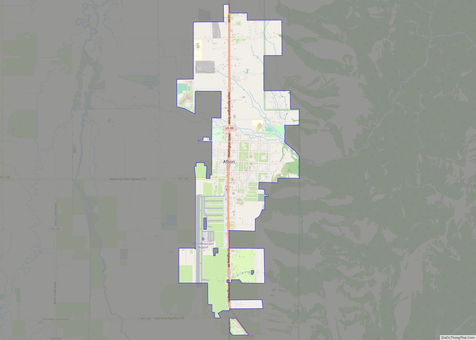
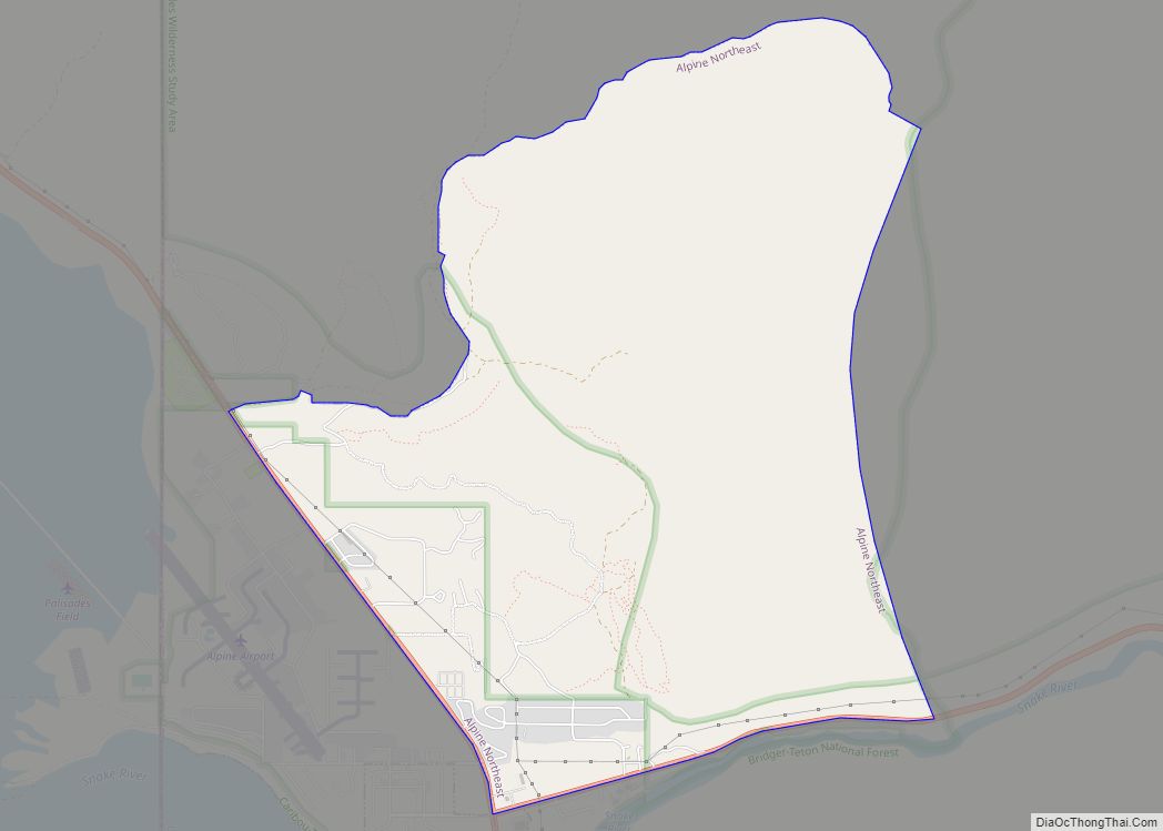
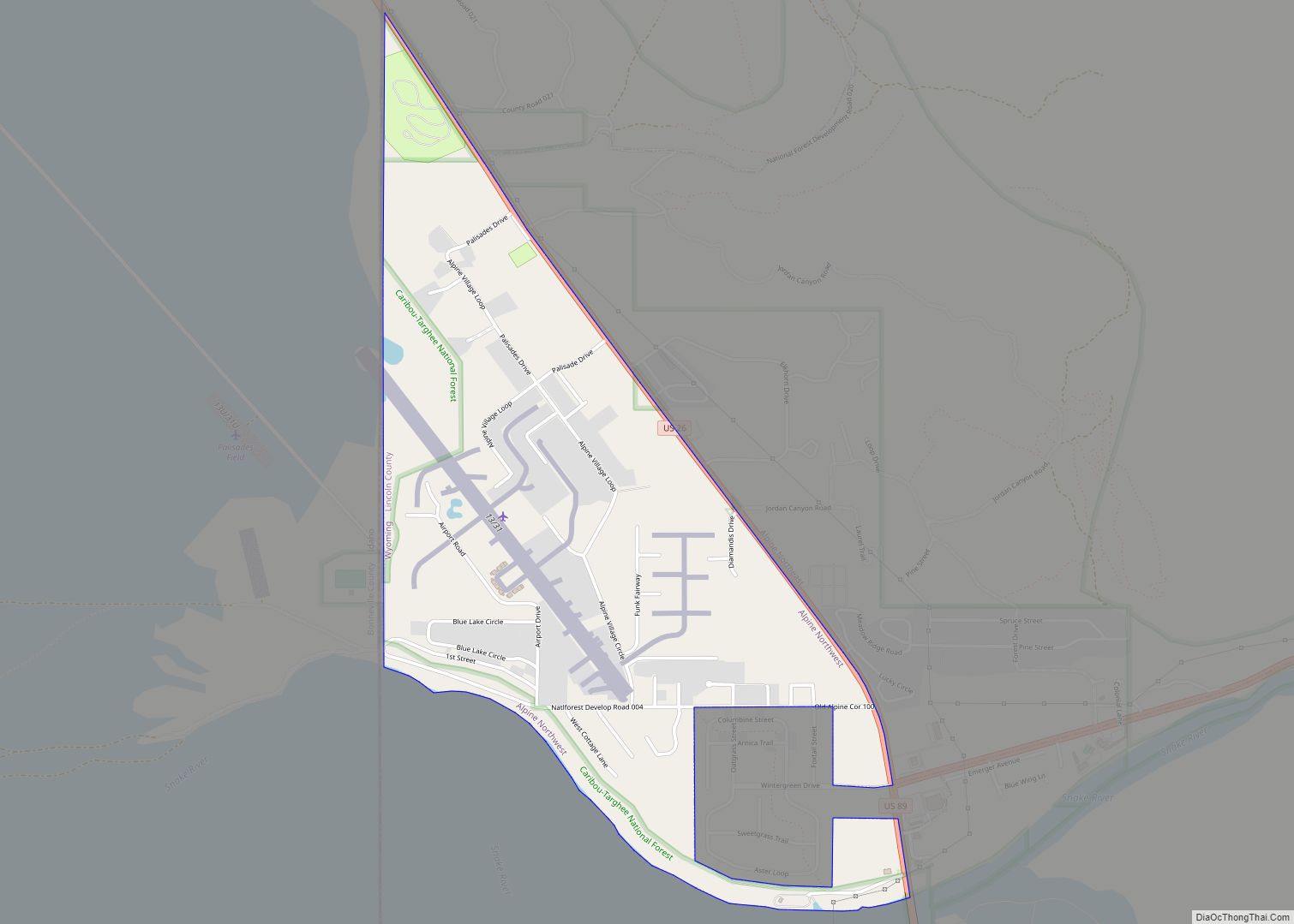
Alpine Road Map
Alpine city Satellite Map
Geography
Alpine is located at the southern end of the Snake River Canyon where the Snake River enters Palisades Reservoir. The town is also known as Alpine Junction since it marks the point where U.S. routes 26 and 89 turn in opposite directions. The two routes run concurrently through the Snake River Canyon from Jackson. In Alpine, Route 89 turns south toward Afton, while Route 26 turns north and follows the edge of Palisades Reservoir to Swan Valley, Idaho. Three rivers come together in the vicinity of Alpine: the Snake, the Salt, and the Greys – the Greys merges with the Snake right at the high water mark of the reservoir, while the Salt discharges directly into the reservoir nearby unless the reservoir is exceptional low.
According to the United States Census Bureau, the town has a total area of 0.70 square miles (1.81 km), all land.
Climate
This climatic region is typified by large seasonal temperature differences, with warm to hot (and often humid) summers and cold (sometimes severely cold) winters. According to the Köppen Climate Classification system, Alpine has a humid continental climate, abbreviated “Dfb” on climate maps.
See also
Map of Wyoming State and its subdivision: Map of other states:- Alabama
- Alaska
- Arizona
- Arkansas
- California
- Colorado
- Connecticut
- Delaware
- District of Columbia
- Florida
- Georgia
- Hawaii
- Idaho
- Illinois
- Indiana
- Iowa
- Kansas
- Kentucky
- Louisiana
- Maine
- Maryland
- Massachusetts
- Michigan
- Minnesota
- Mississippi
- Missouri
- Montana
- Nebraska
- Nevada
- New Hampshire
- New Jersey
- New Mexico
- New York
- North Carolina
- North Dakota
- Ohio
- Oklahoma
- Oregon
- Pennsylvania
- Rhode Island
- South Carolina
- South Dakota
- Tennessee
- Texas
- Utah
- Vermont
- Virginia
- Washington
- West Virginia
- Wisconsin
- Wyoming
