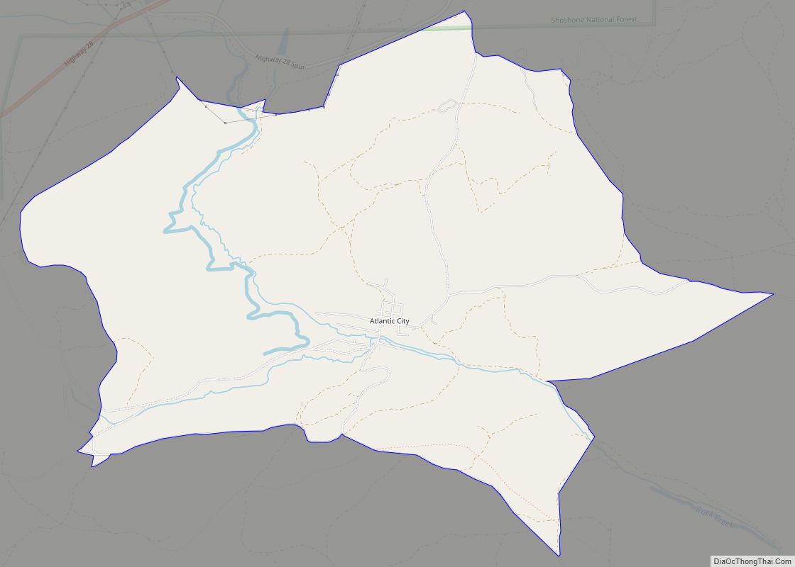
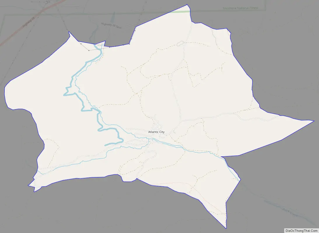
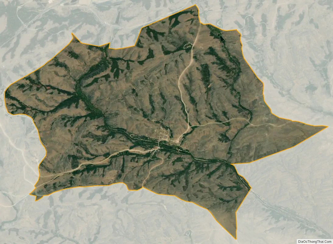
Atlantic City is a census-designated place (CDP) in Fremont County, Wyoming, United States. The population was 37 at the 2010 census. The community is a small mining settlement in a gulch near South Pass in southwestern Wyoming. It was founded as a mining camp following the 1867 gold rush in the region. The town declined following the end of the placer gold rush in the early 1870s, but continued to exist as advances in mining technology allowed further extraction of gold. From the 1960s until 1983, it was the location of US Steel iron ore mine. The town is accessible by gravel roads from nearby Wyoming Highway 28.
The town today has rustic flavor, with a small cluster of residences and the preserved Atlantic City Mercantile store and restaurant along the main road through town. It attracts a small number of tourists in the summer as well.
| Name: | Atlantic City CDP |
|---|---|
| LSAD Code: | 57 |
| LSAD Description: | CDP (suffix) |
| State: | Wyoming |
| County: | Fremont County |
| Elevation: | 7,694 ft (2,345 m) |
| Total Area: | 7.8 sq mi (20 km²) |
| Land Area: | 7.8 sq mi (20 km²) |
| Water Area: | 0.0 sq mi (0 km²) |
| Total Population: | 37 |
| Population Density: | 4.7/sq mi (1.8/km²) |
| ZIP code: | 82520 |
| Area code: | 307 |
| FIPS code: | 5604015 |
| GNISfeature ID: | 1584989 |
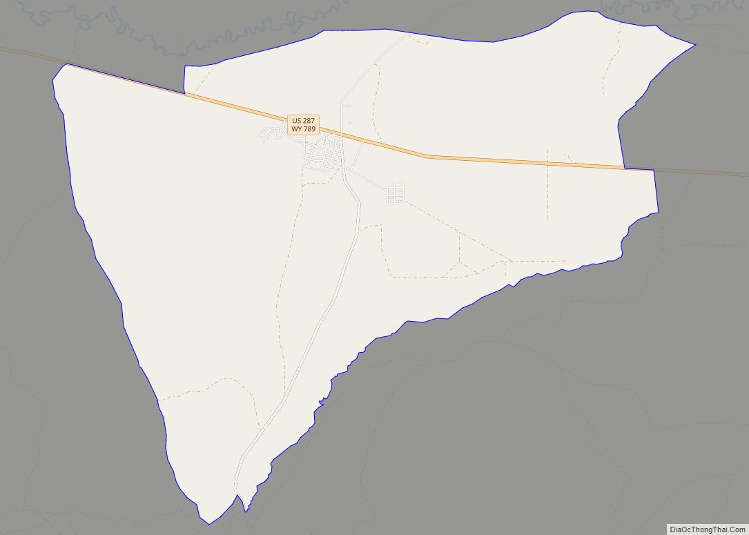
Online Interactive Map
Click on ![]() to view map in "full screen" mode.
to view map in "full screen" mode.
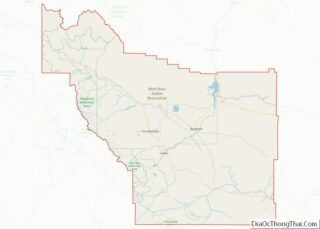
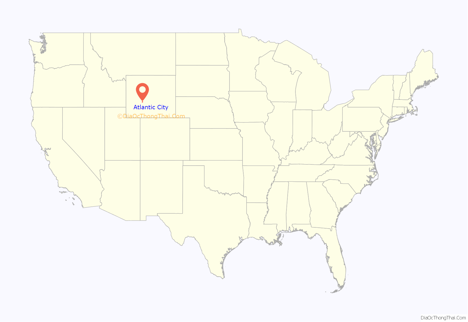
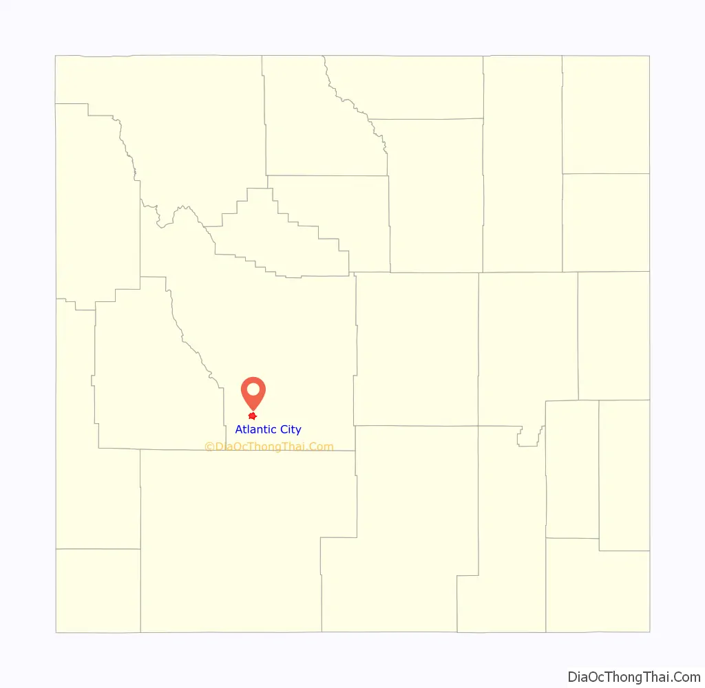
Atlantic City location map. Where is Atlantic City CDP?
Atlantic City Road Map
Atlantic City city Satellite Map
Geography
Atlantic City is located at 42°29′43″N 108°43′8″W / 42.49528°N 108.71889°W / 42.49528; -108.71889 (42.495228, -108.718830).
According to the United States Census Bureau, the CDP has a total area of 7.8 square miles (20.2 km), all land.
Climate
According to the Köppen Climate Classification system, Atlantic City has a semi-arid climate, abbreviated “BSk” on climate maps.
See also
Map of Wyoming State and its subdivision: Map of other states:- Alabama
- Alaska
- Arizona
- Arkansas
- California
- Colorado
- Connecticut
- Delaware
- District of Columbia
- Florida
- Georgia
- Hawaii
- Idaho
- Illinois
- Indiana
- Iowa
- Kansas
- Kentucky
- Louisiana
- Maine
- Maryland
- Massachusetts
- Michigan
- Minnesota
- Mississippi
- Missouri
- Montana
- Nebraska
- Nevada
- New Hampshire
- New Jersey
- New Mexico
- New York
- North Carolina
- North Dakota
- Ohio
- Oklahoma
- Oregon
- Pennsylvania
- Rhode Island
- South Carolina
- South Dakota
- Tennessee
- Texas
- Utah
- Vermont
- Virginia
- Washington
- West Virginia
- Wisconsin
- Wyoming