Bairoil is a town in Sweetwater County, Wyoming, United States. The population was 106 at the 2010 census.
| Name: | Bairoil town |
|---|---|
| LSAD Code: | 43 |
| LSAD Description: | town (suffix) |
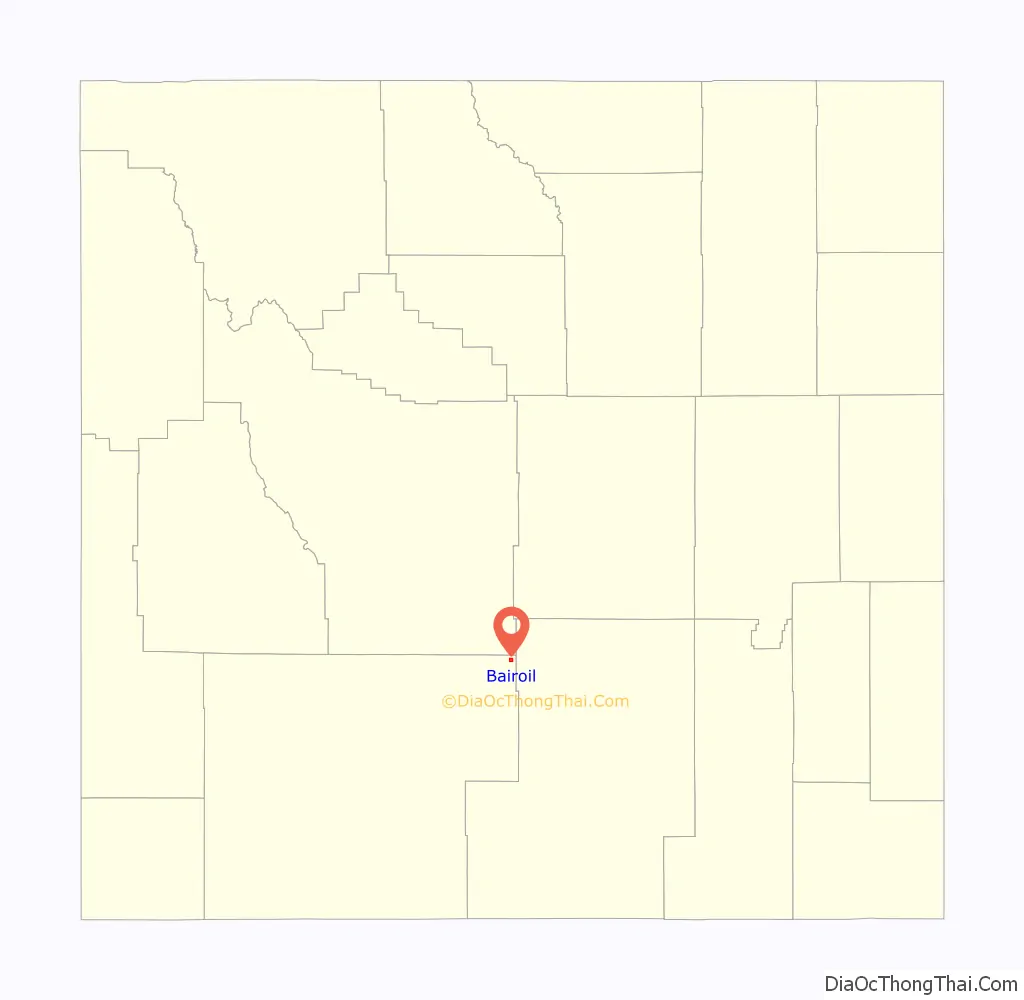
| State: | Wyoming |
| County: | Sweetwater County |
| Elevation: | 6,857 ft (2,090 m) |
| Total Area: | 1.41 sq mi (3.66 km²) |
| Land Area: | 1.41 sq mi (3.66 km²) |
| Water Area: | 0.00 sq mi (0.00 km²) |
| Total Population: | 106 |
| Population Density: | 68.60/sq mi (26.49/km²) |
| ZIP code: | 82322 |
| Area code: | 307 |
| FIPS code: | 5604885 |
| GNISfeature ID: | 1585058 |
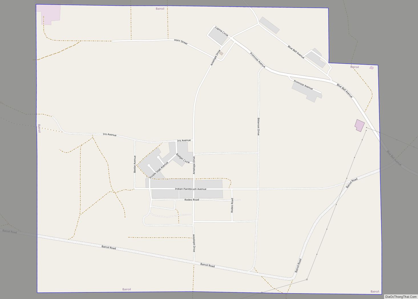
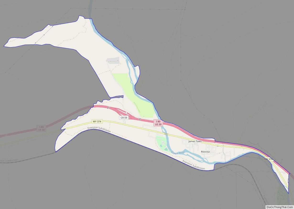
Online Interactive Map
Click on ![]() to view map in "full screen" mode.
to view map in "full screen" mode.
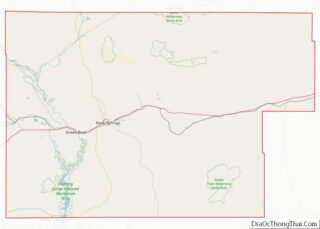
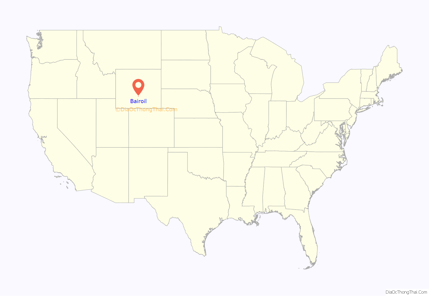
Bairoil location map. Where is Bairoil town?
History
Bairoil was formed by former sheep rancher Charles M. Bair around 1916. Bair was the first to drill oil in this area and started the Bair Oil Company for which the town was named. The post office was established in 1924 and the town was eventually incorporated in 1980.
A hang-gliding world record was set in 1989 by Kevin Christopherson, who rode an updraft 287 miles (462 km) from Bairoil to North Dakota.
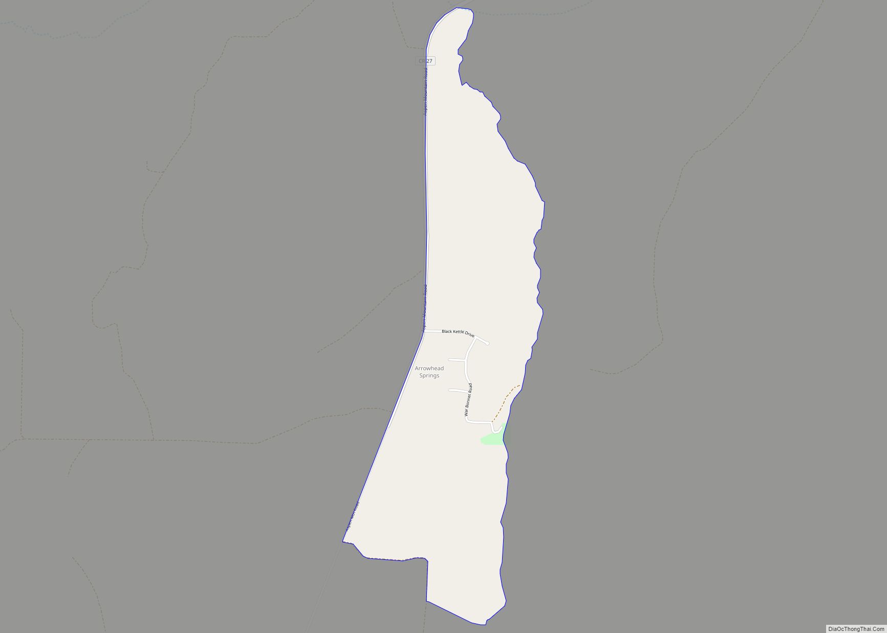
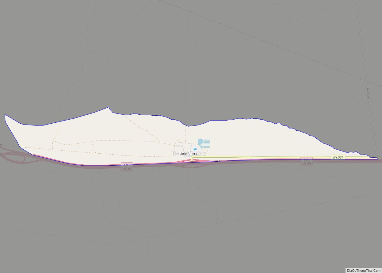
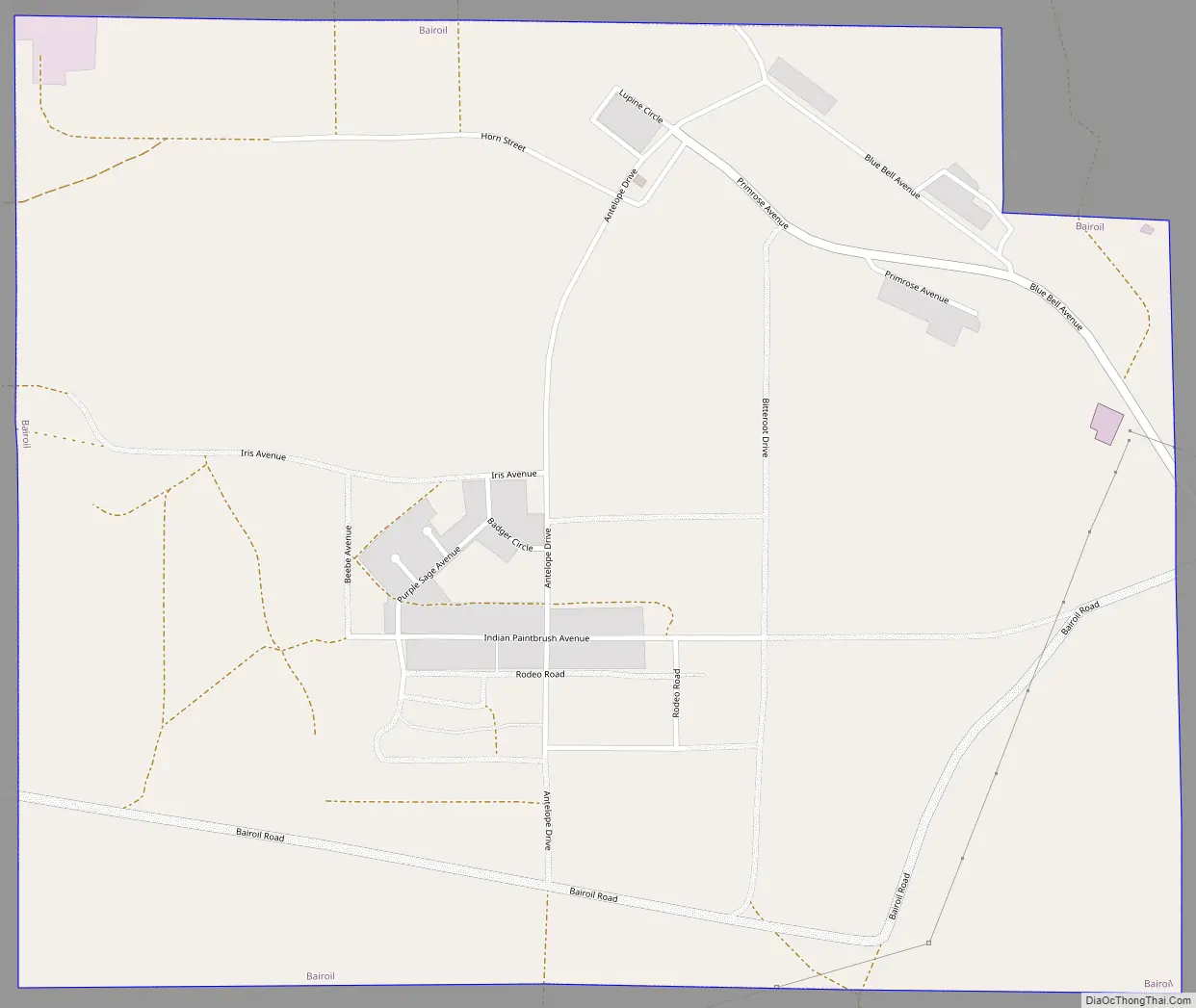
Bairoil Road Map
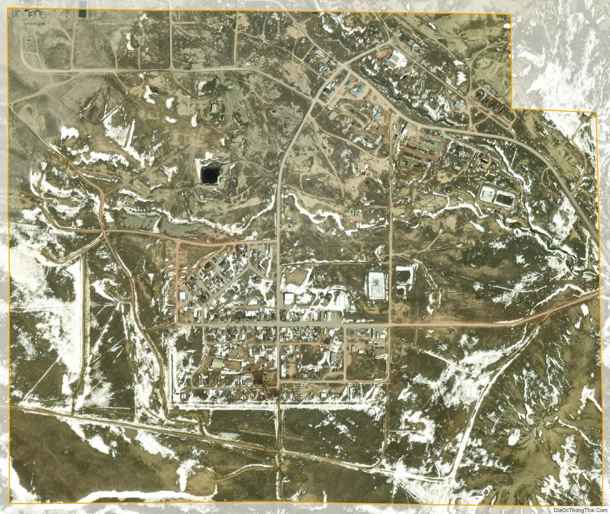
Bairoil city Satellite Map
Geography
According to the United States Census Bureau, the town has a total area of 1.41 square miles (3.65 km), all land.
Bairoil is located on the northeast edge of the Great Divide Basin.
Wyoming Highway 73 leads approximately 5 miles (8.0 km) east to Lamont.
Climate
According to the Köppen Climate Classification system, Bairoil has a semi-arid climate, abbreviated “BSk” on climate maps.
See also
Map of Wyoming State and its subdivision: Map of other states:- Alabama
- Alaska
- Arizona
- Arkansas
- California
- Colorado
- Connecticut
- Delaware
- District of Columbia
- Florida
- Georgia
- Hawaii
- Idaho
- Illinois
- Indiana
- Iowa
- Kansas
- Kentucky
- Louisiana
- Maine
- Maryland
- Massachusetts
- Michigan
- Minnesota
- Mississippi
- Missouri
- Montana
- Nebraska
- Nevada
- New Hampshire
- New Jersey
- New Mexico
- New York
- North Carolina
- North Dakota
- Ohio
- Oklahoma
- Oregon
- Pennsylvania
- Rhode Island
- South Carolina
- South Dakota
- Tennessee
- Texas
- Utah
- Vermont
- Virginia
- Washington
- West Virginia
- Wisconsin
- Wyoming