Bondurant is a census-designated place (CDP) in Sublette County, Wyoming, United States. The population was 93 at the 2010 census. The town was named after B. F. Bondurant.
| Name: | Bondurant CDP |
|---|---|
| LSAD Code: | 57 |
| LSAD Description: | CDP (suffix) |
| State: | Wyoming |
| County: | Sublette County |
| Elevation: | 6,611 ft (2,015 m) |
| Total Area: | 52.8 sq mi (137 km²) |
| Land Area: | 52.8 sq mi (137 km²) |
| Water Area: | 0.0 sq mi (0 km²) |
| Total Population: | 93 |
| Population Density: | 1.8/sq mi (0.68/km²) |
| ZIP code: | 82922 |
| Area code: | 307 |
| FIPS code: | 5608365 |
| GNISfeature ID: | 1598291 |
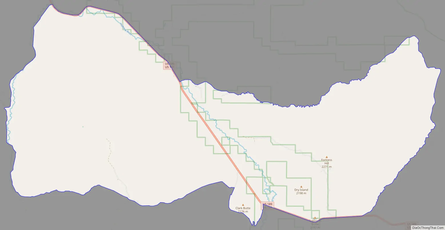
Online Interactive Map
Click on ![]() to view map in "full screen" mode.
to view map in "full screen" mode.
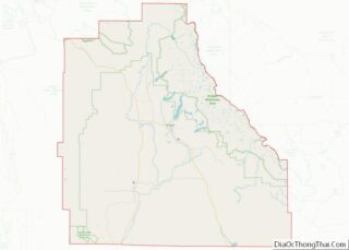
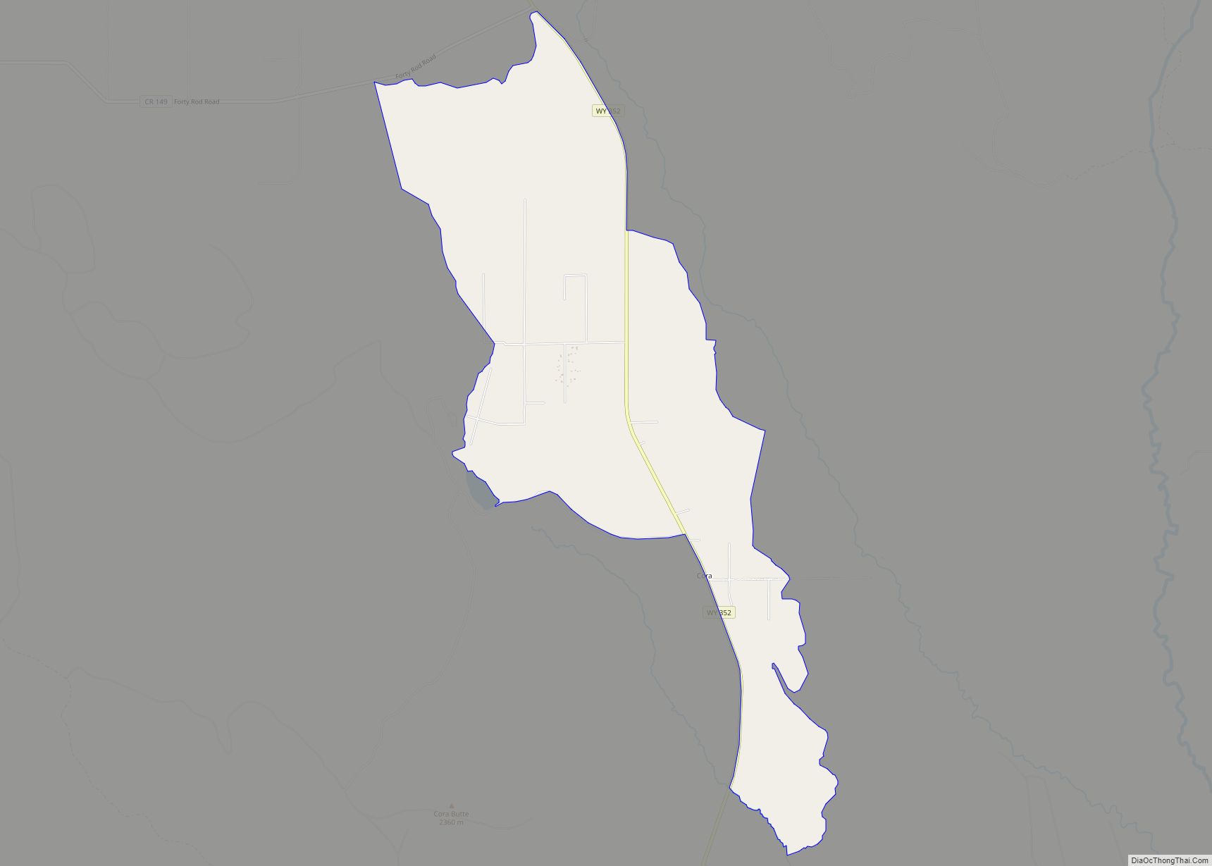
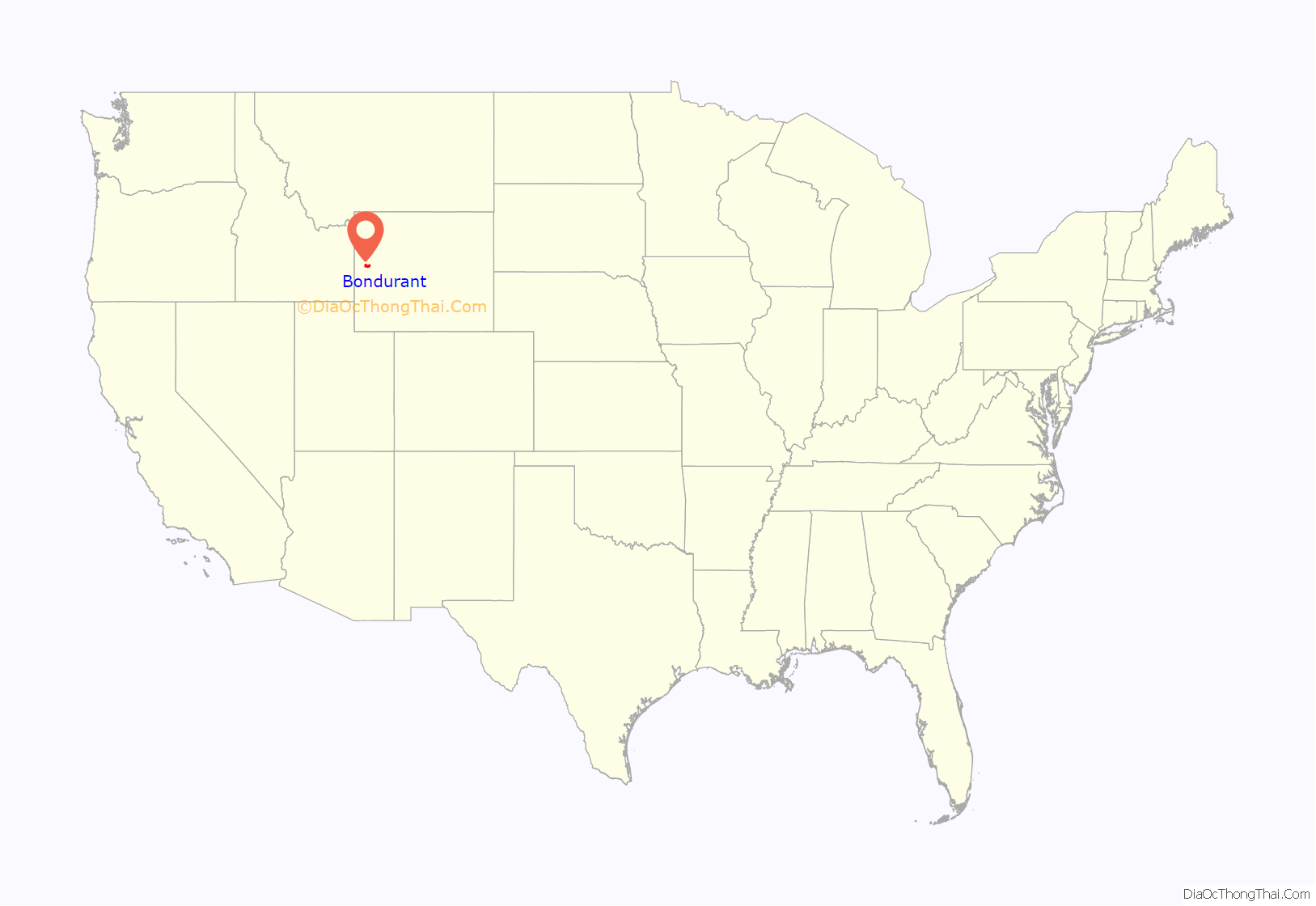
Bondurant location map. Where is Bondurant CDP?
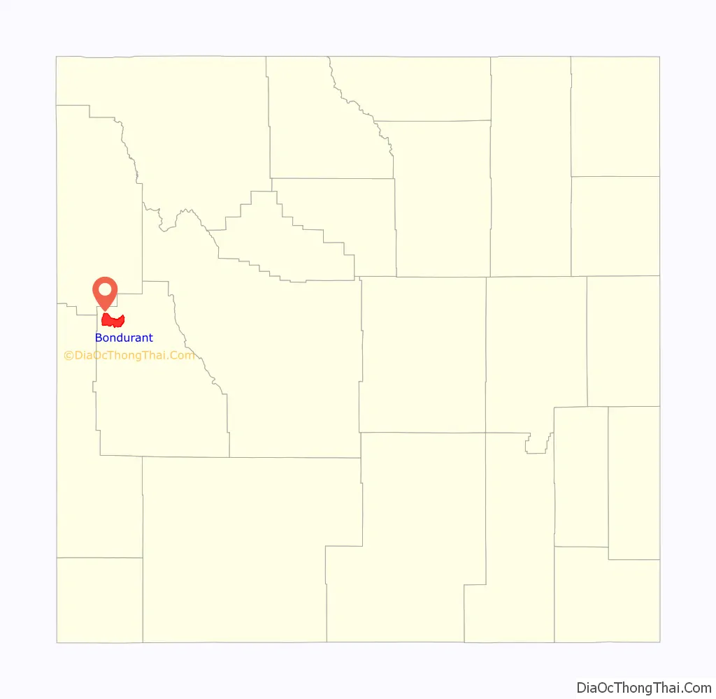
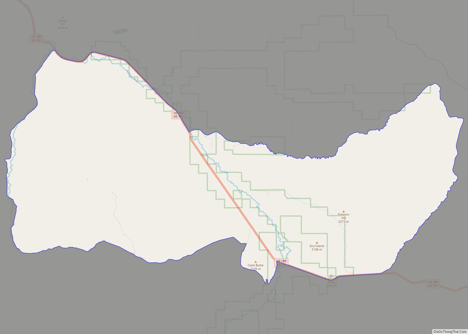
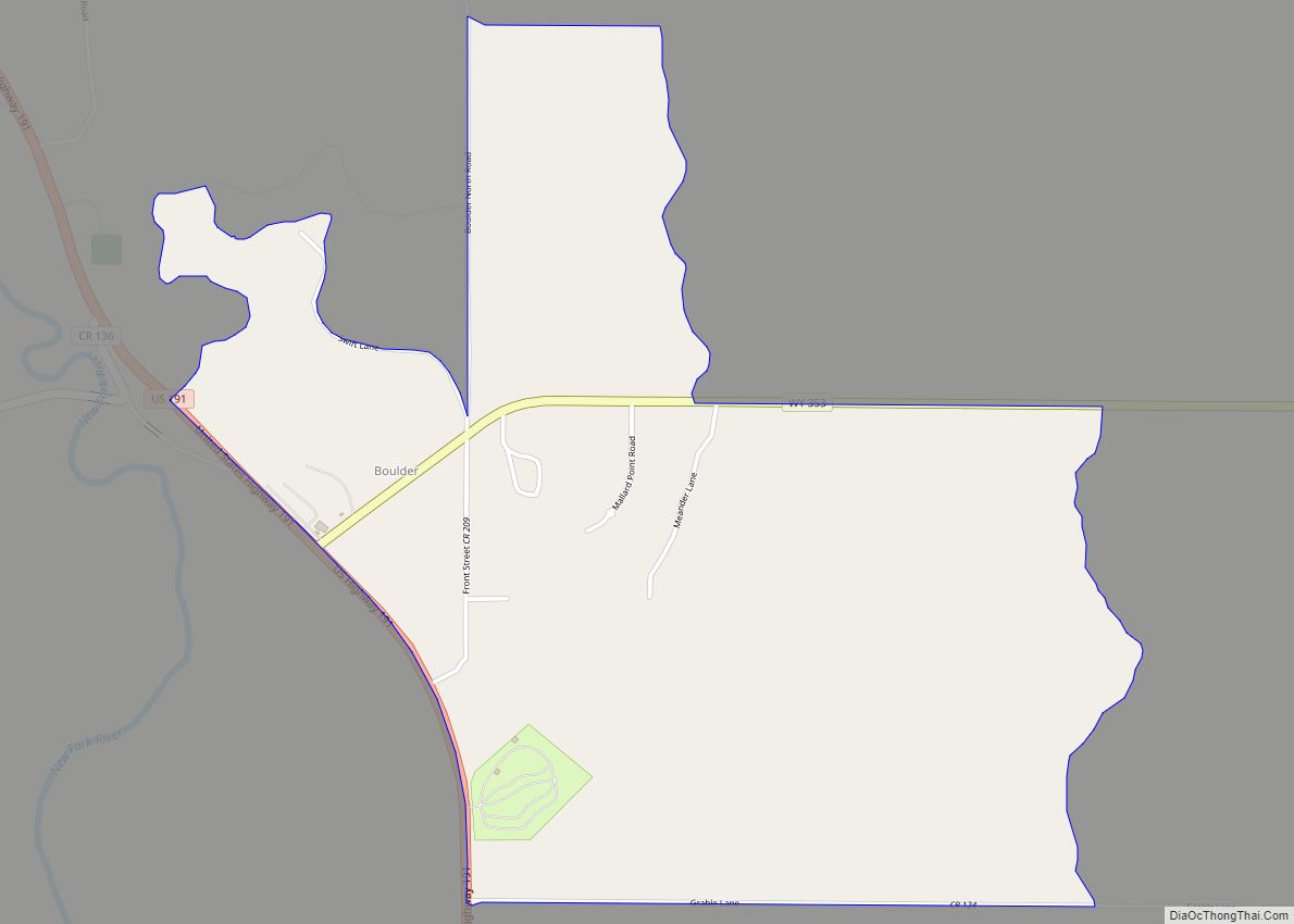
Bondurant Road Map
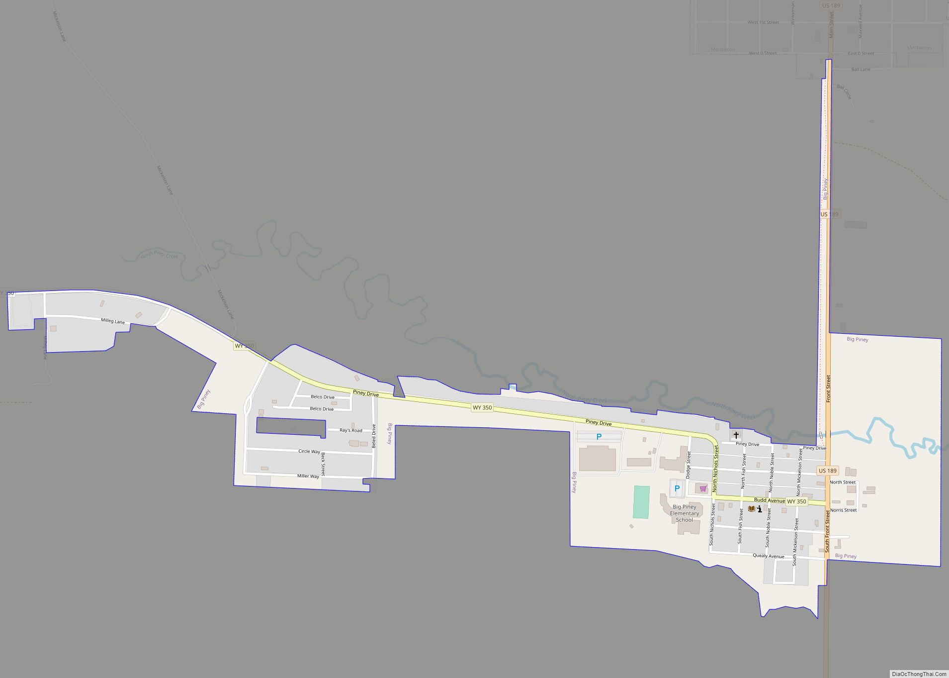
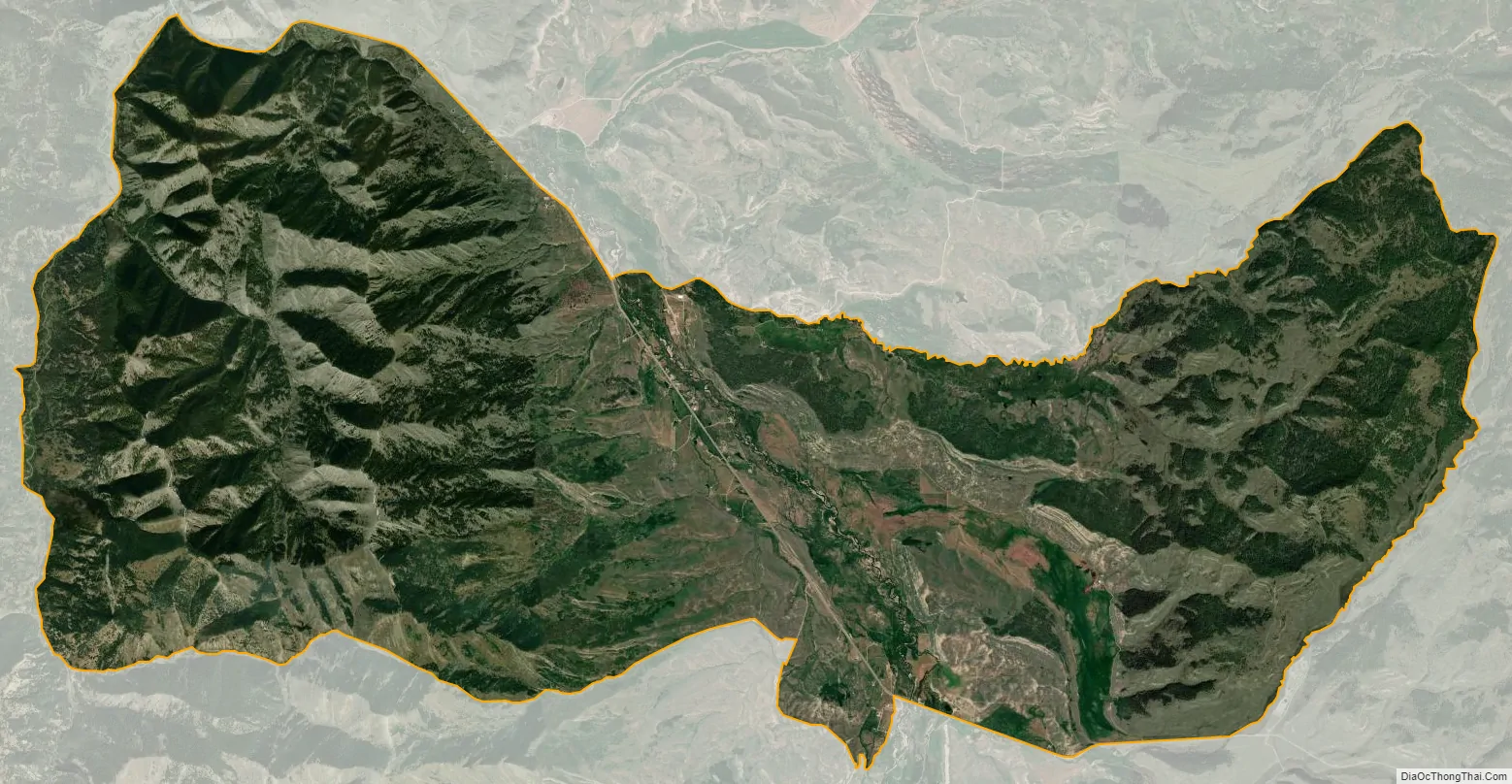
Bondurant city Satellite Map
Geography
Bondurant is located at 43°11′8″N 110°23′11″W / 43.18556°N 110.38639°W / 43.18556; -110.38639 (43.185600, −110.386251), in the Hoback Basin.
According to the United States Census Bureau, the CDP has a total area of 52.8 square miles (136.7 km), all land.
Climate
Due to its high elevation, Bondurant experiences a subarctic climate (Köppen Dfc). The hottest temperature recorded in Bondurant was 95 °F (35 °C) on July 14, 2002, while the coldest temperature recorded was −57 °F (−49 °C) on February 1, 1951.
See also
Map of Wyoming State and its subdivision: Map of other states:- Alabama
- Alaska
- Arizona
- Arkansas
- California
- Colorado
- Connecticut
- Delaware
- District of Columbia
- Florida
- Georgia
- Hawaii
- Idaho
- Illinois
- Indiana
- Iowa
- Kansas
- Kentucky
- Louisiana
- Maine
- Maryland
- Massachusetts
- Michigan
- Minnesota
- Mississippi
- Missouri
- Montana
- Nebraska
- Nevada
- New Hampshire
- New Jersey
- New Mexico
- New York
- North Carolina
- North Dakota
- Ohio
- Oklahoma
- Oregon
- Pennsylvania
- Rhode Island
- South Carolina
- South Dakota
- Tennessee
- Texas
- Utah
- Vermont
- Virginia
- Washington
- West Virginia
- Wisconsin
- Wyoming