Cora is a census-designated place (CDP) in Sublette County, Wyoming. The population was 114 at the 2020 census.
| Name: | Cora CDP |
|---|---|
| LSAD Code: | 57 |
| LSAD Description: | CDP (suffix) |
| State: | Wyoming |
| County: | Sublette County |
| Elevation: | 7,352 ft (2,241 m) |
| Total Area: | 5.0 sq mi (13 km²) |
| Land Area: | 5.0 sq mi (13 km²) |
| Water Area: | 0.0 sq mi (0 km²) |
| Total Population: | 142 |
| Population Density: | 28/sq mi (11/km²) |
| ZIP code: | 82925 |
| Area code: | 307 |
| FIPS code: | 5617210 |
| GNISfeature ID: | 1597349 |
Online Interactive Map
Click on ![]() to view map in "full screen" mode.
to view map in "full screen" mode.
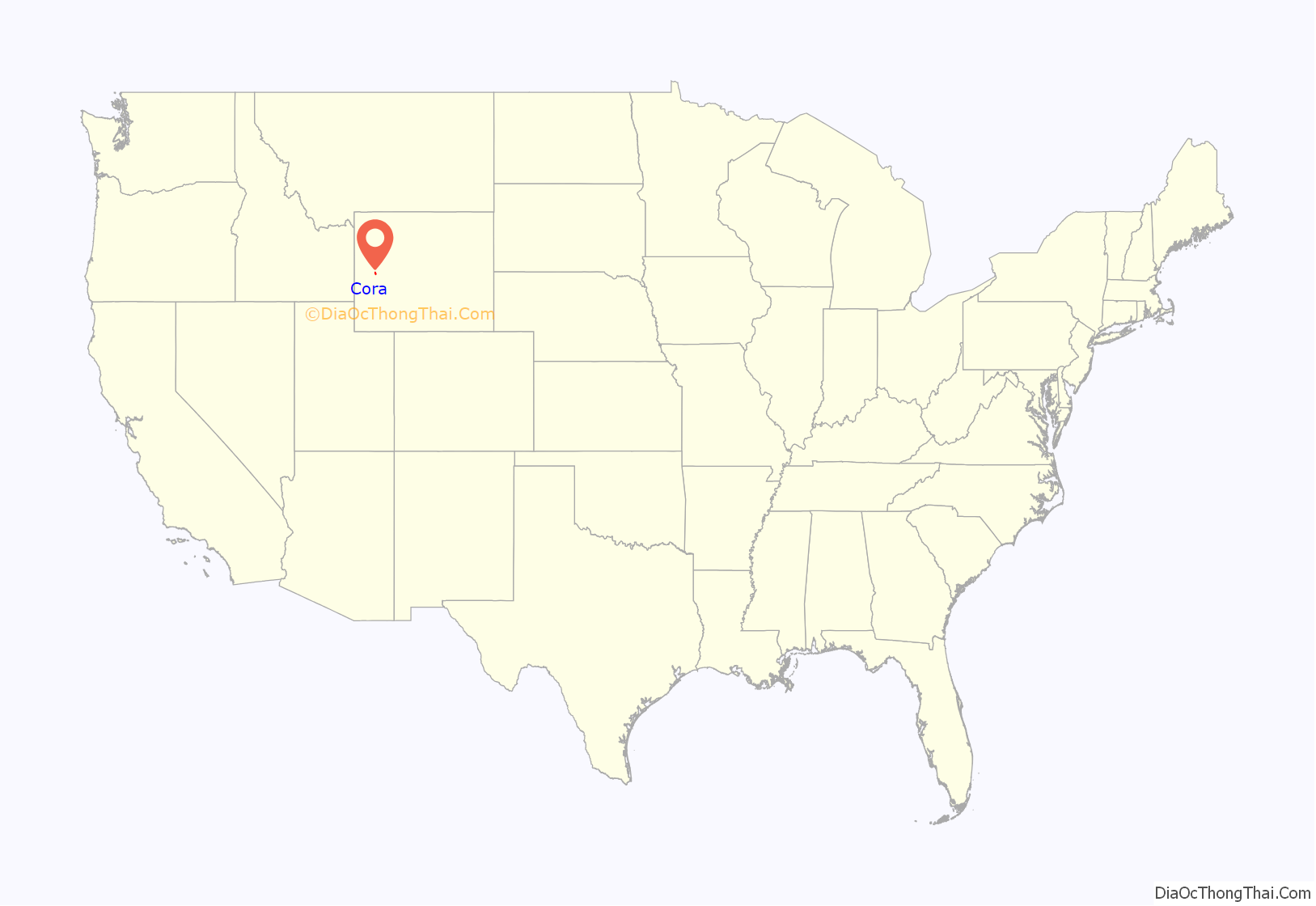
Cora location map. Where is Cora CDP?
History
Cora may have been named after Cora House, a cowgirl who lived in the area. In the early 20th century, the town post office was moved to its current site from a ranch one mile to the east. Dogsleds were once used to make winter deliveries to residents who lived in the Cora area and the rest of the Upper Green River valley.
In 2011, the U.S. Postal Service considered closing the Cora post office for budgetary reasons. Residents of Cora protested and wrote letters to the USPS requesting that the post office remain open because it serves as a gathering place for the community. As of 2020, the post office is still open.
John Perry Barlow, lyricist for the Grateful Dead, grew up in Cora on his family’s homestead, the Bar Cross Ranch.
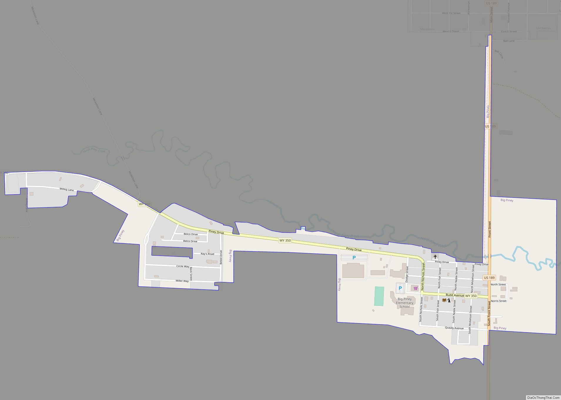
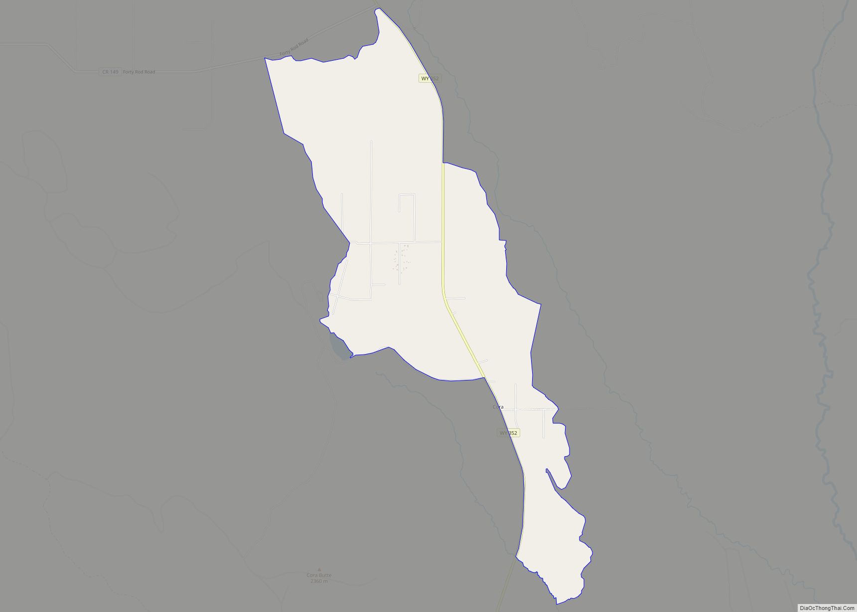
Cora Road Map
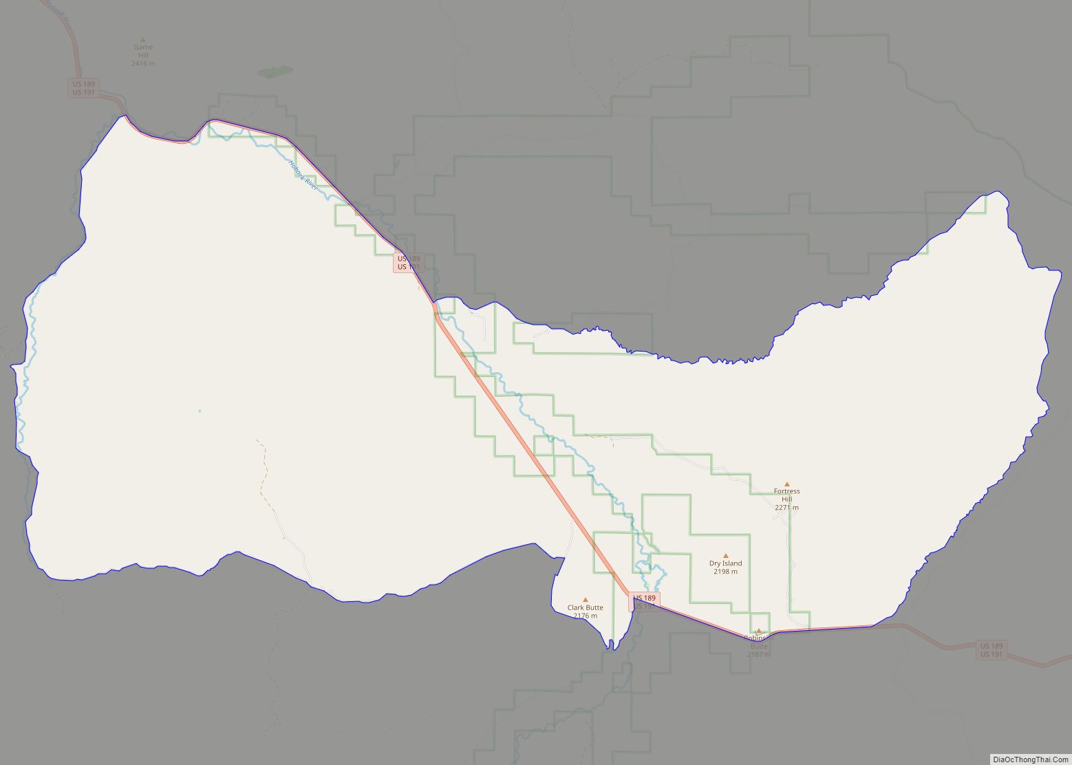
Cora city Satellite Map
Geography
Cora is located at 42°57′N 109°59′W / 42.950°N 109.983°W / 42.950; -109.983 (42.95, −109.98).
According to the U.S. Census Bureau, the CDP has an area of 5.0 square miles (12.9 km), all land.
The town was listed on the National Register of Historic Places on April 24, 2017.
See also
Map of Wyoming State and its subdivision: Map of other states:- Alabama
- Alaska
- Arizona
- Arkansas
- California
- Colorado
- Connecticut
- Delaware
- District of Columbia
- Florida
- Georgia
- Hawaii
- Idaho
- Illinois
- Indiana
- Iowa
- Kansas
- Kentucky
- Louisiana
- Maine
- Maryland
- Massachusetts
- Michigan
- Minnesota
- Mississippi
- Missouri
- Montana
- Nebraska
- Nevada
- New Hampshire
- New Jersey
- New Mexico
- New York
- North Carolina
- North Dakota
- Ohio
- Oklahoma
- Oregon
- Pennsylvania
- Rhode Island
- South Carolina
- South Dakota
- Tennessee
- Texas
- Utah
- Vermont
- Virginia
- Washington
- West Virginia
- Wisconsin
- Wyoming
