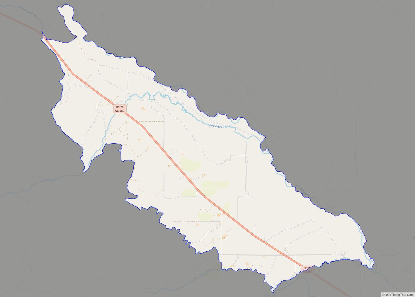
Crowheart is a census-designated place (CDP) in Fremont County, Wyoming, United States. The population was 141 at the 2010 census. Nearby Crowheart Butte was the site of a battle between the Crow and Shoshone American Indian tribes in 1866. According to legend, following a five-day battle for rights to the hunting grounds in the Wind River Range, Chief Washakie of the Shoshone and Chief Big Robber of the Crow agreed to a duel, with the winner gaining the rights to the Wind River hunting grounds. Chief Washakie eventually prevailed, but he was so impressed with the courage of his opponent, that rather than scalp him, he instead cut out his heart and placed it on the end of his lance.
| Name: | Crowheart CDP |
|---|---|
| LSAD Code: | 57 |
| LSAD Description: | CDP (suffix) |
| State: | Wyoming |
| County: | Fremont County |
| Elevation: | 6,096 ft (1,858 m) |
| Total Area: | 31.3 sq mi (81.0 km²) |
| Land Area: | 31.3 sq mi (81.0 km²) |
| Water Area: | 0.0 sq mi (0.0 km²) |
| Total Population: | 141 |
| Population Density: | 4.5/sq mi (1.7/km²) |
| ZIP code: | 82512 |
| Area code: | 307 |
| FIPS code: | 5618225 |
| GNISfeature ID: | 1597273 |
Online Interactive Map
Click on ![]() to view map in "full screen" mode.
to view map in "full screen" mode.
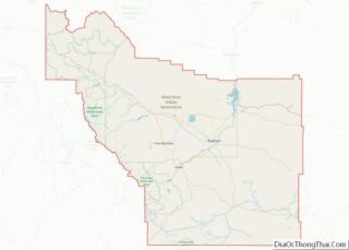
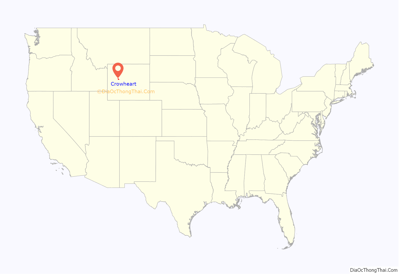
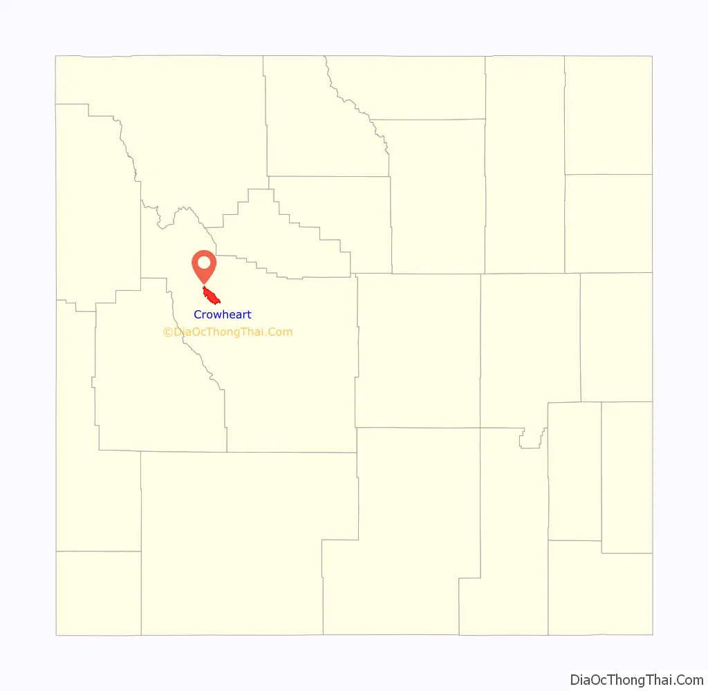
Crowheart location map. Where is Crowheart CDP?
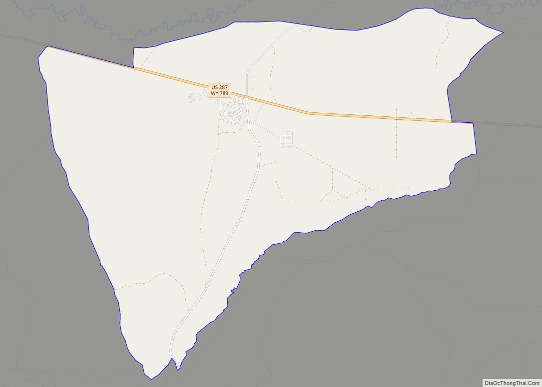
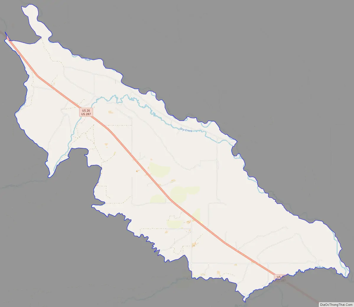
Crowheart Road Map
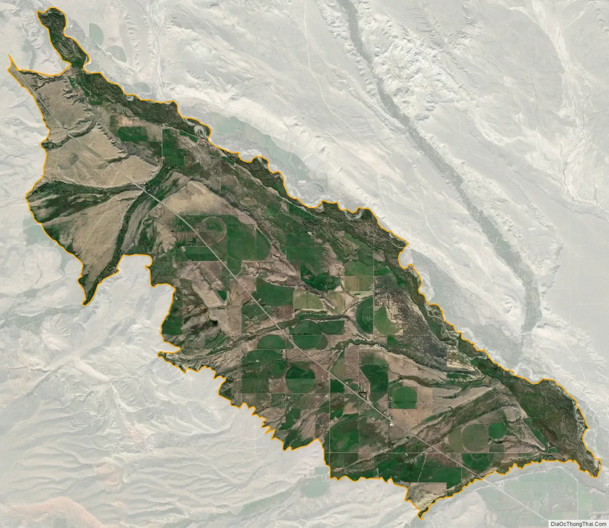
Crowheart city Satellite Map
See also
Map of Wyoming State and its subdivision: Map of other states:- Alabama
- Alaska
- Arizona
- Arkansas
- California
- Colorado
- Connecticut
- Delaware
- District of Columbia
- Florida
- Georgia
- Hawaii
- Idaho
- Illinois
- Indiana
- Iowa
- Kansas
- Kentucky
- Louisiana
- Maine
- Maryland
- Massachusetts
- Michigan
- Minnesota
- Mississippi
- Missouri
- Montana
- Nebraska
- Nevada
- New Hampshire
- New Jersey
- New Mexico
- New York
- North Carolina
- North Dakota
- Ohio
- Oklahoma
- Oregon
- Pennsylvania
- Rhode Island
- South Carolina
- South Dakota
- Tennessee
- Texas
- Utah
- Vermont
- Virginia
- Washington
- West Virginia
- Wisconsin
- Wyoming