Glendo is a town in Platte County, Wyoming, United States. The population was 205 at the 2010 census.
| Name: | Glendo town |
|---|---|
| LSAD Code: | 43 |
| LSAD Description: | town (suffix) |
| State: | Wyoming |
| County: | Platte County |
| Elevation: | 4,724 ft (1,440 m) |
| Total Area: | 0.59 sq mi (1.53 km²) |
| Land Area: | 0.59 sq mi (1.53 km²) |
| Water Area: | 0.00 sq mi (0.00 km²) |
| Total Population: | 205 |
| Population Density: | 340.68/sq mi (131.59/km²) |
| ZIP code: | 82213 |
| Area code: | 307 |
| FIPS code: | 5632290 |
| GNISfeature ID: | 1588932 |
| Website: | www.glendowy.com |
Online Interactive Map
Click on ![]() to view map in "full screen" mode.
to view map in "full screen" mode.
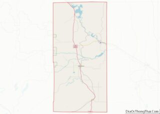
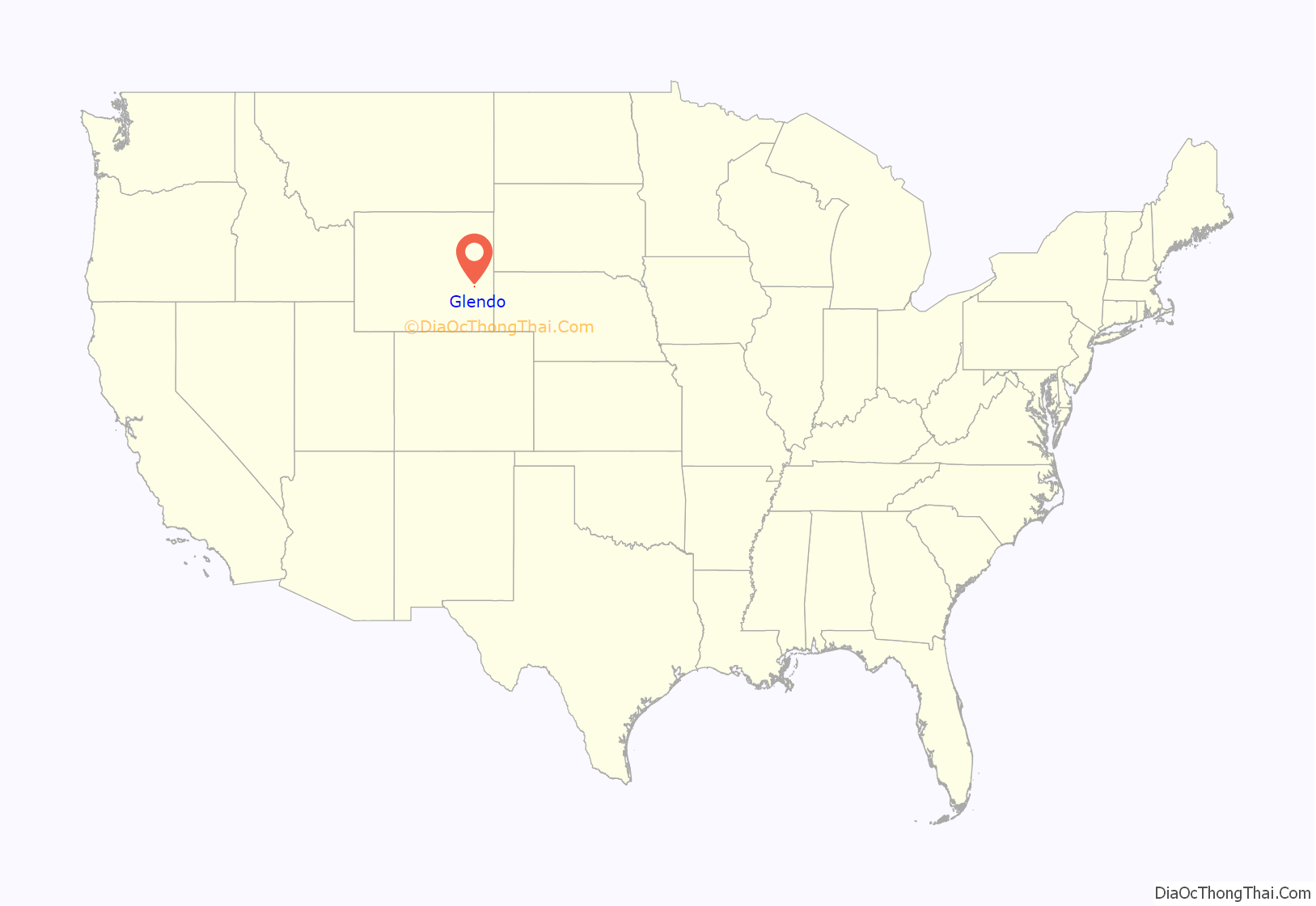
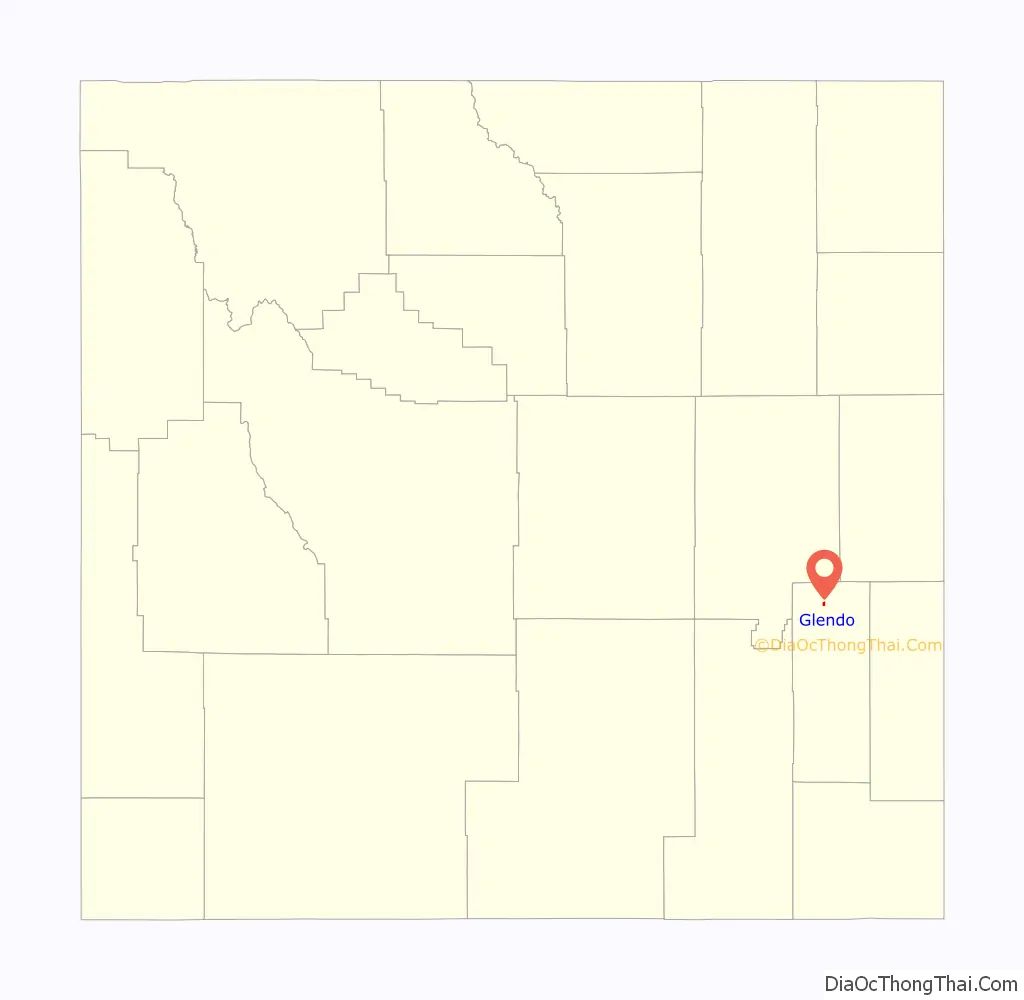
Glendo location map. Where is Glendo town?
History
The town was incorporated in 1922. The California Trail, Oregon Trail and Mormon Trail passed south of Glendo. The Overland Stage Line also passed south of Glendo.
It was in a cabin near the town that William L. Carlisle, one of America’s last train robbers, was captured in December 1919 after a shoot-out with the posse pursuing him.
On August 21, 2017, Glendo was directly in the middle of the path of a total solar eclipse, the first over the continental United States since 1979. Like many locations inside the path of totality, thousands of eager tourists and eclipse chasers flocked into Glendo to witness the event.
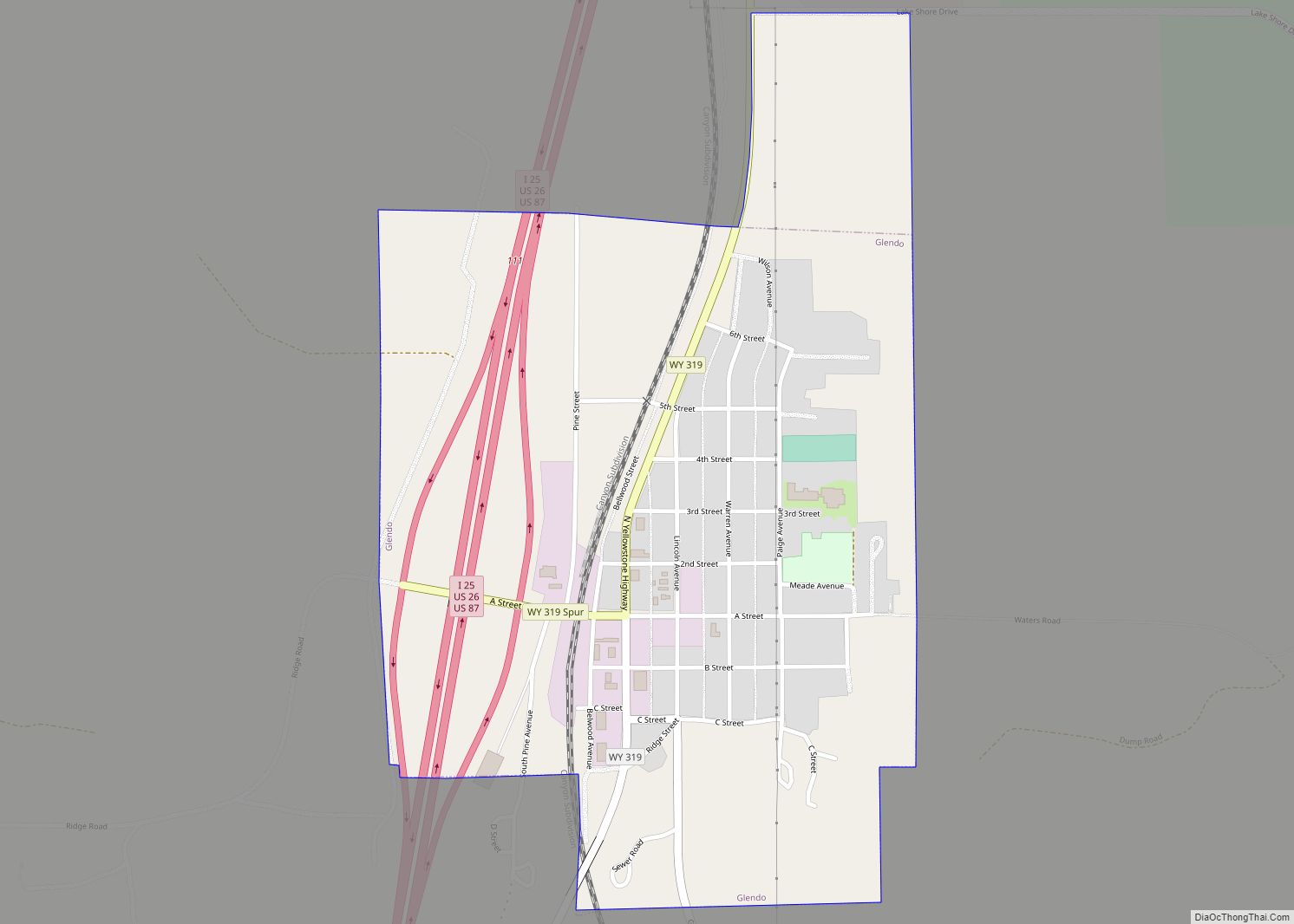
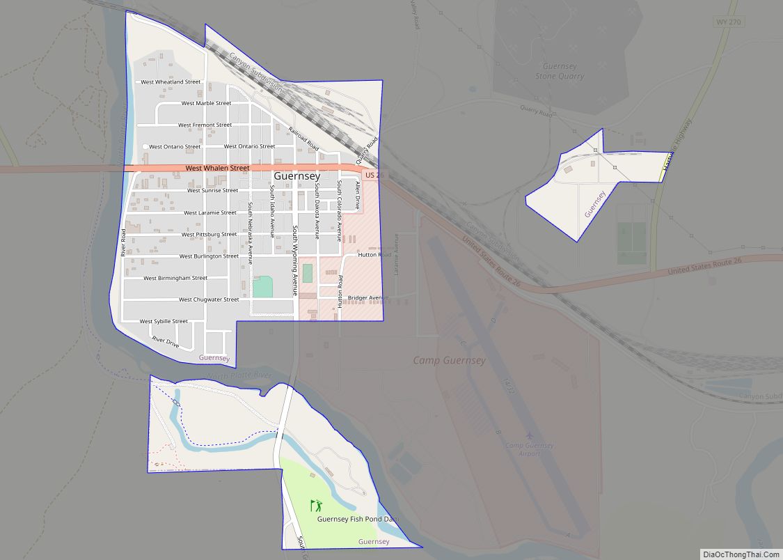
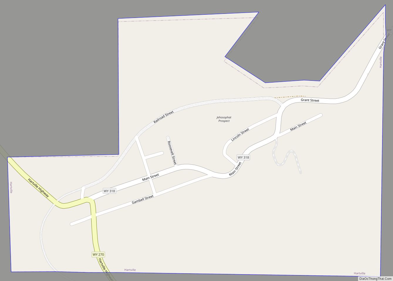
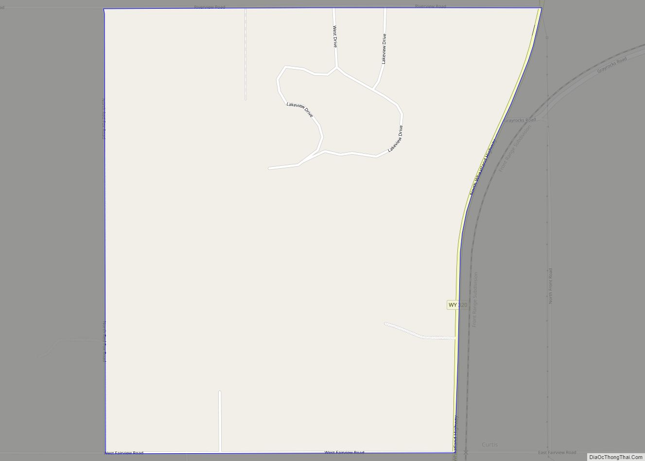
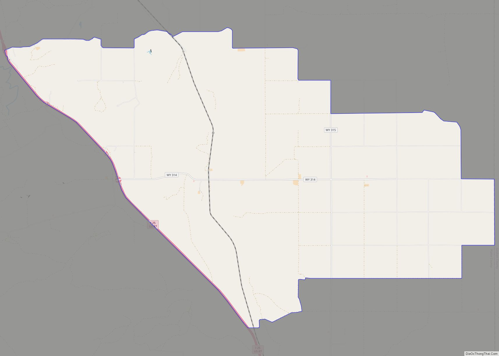
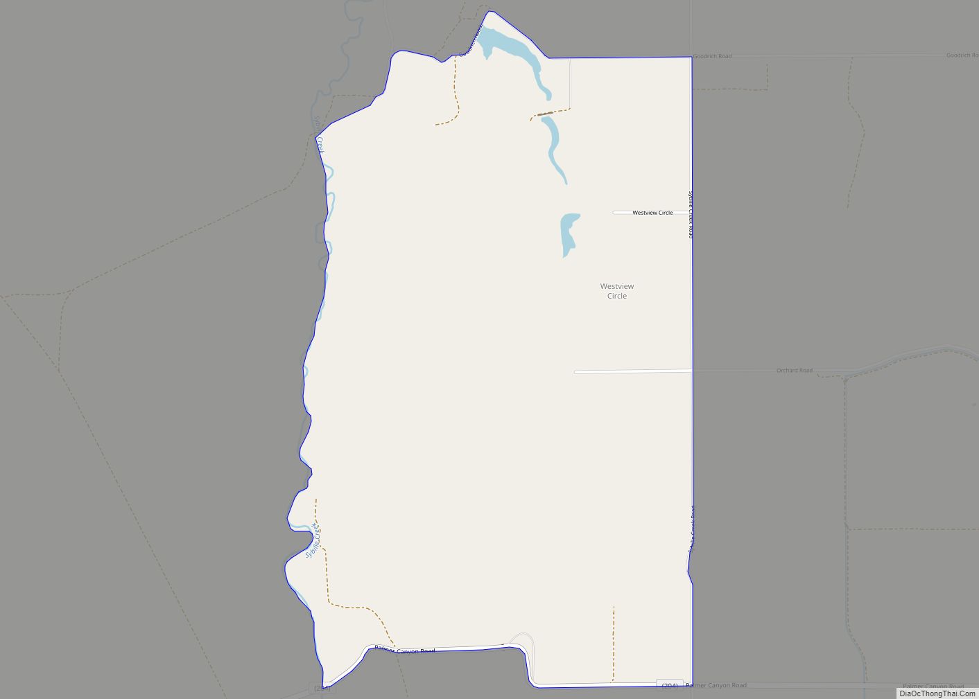
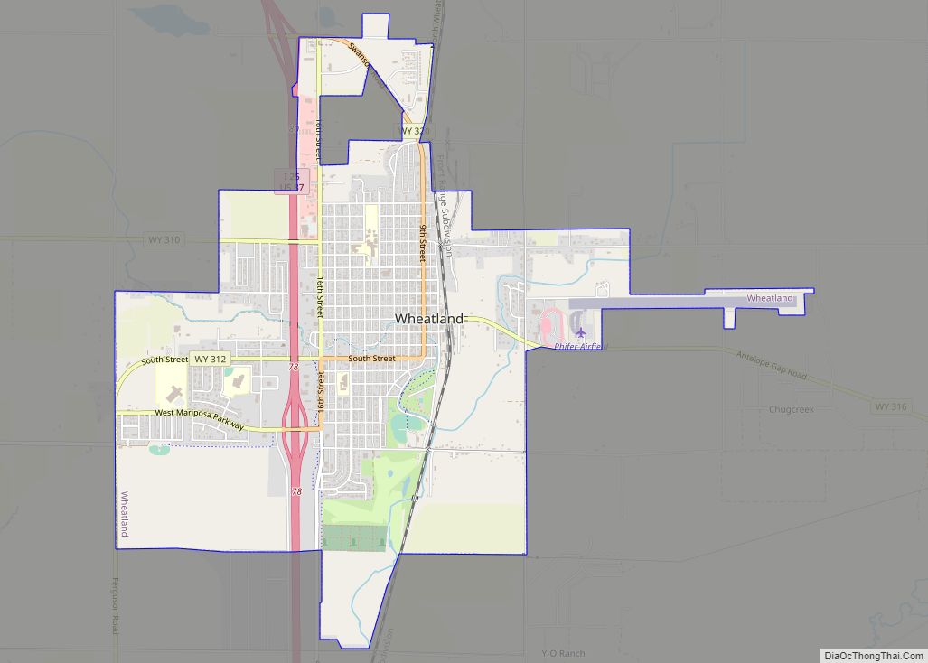
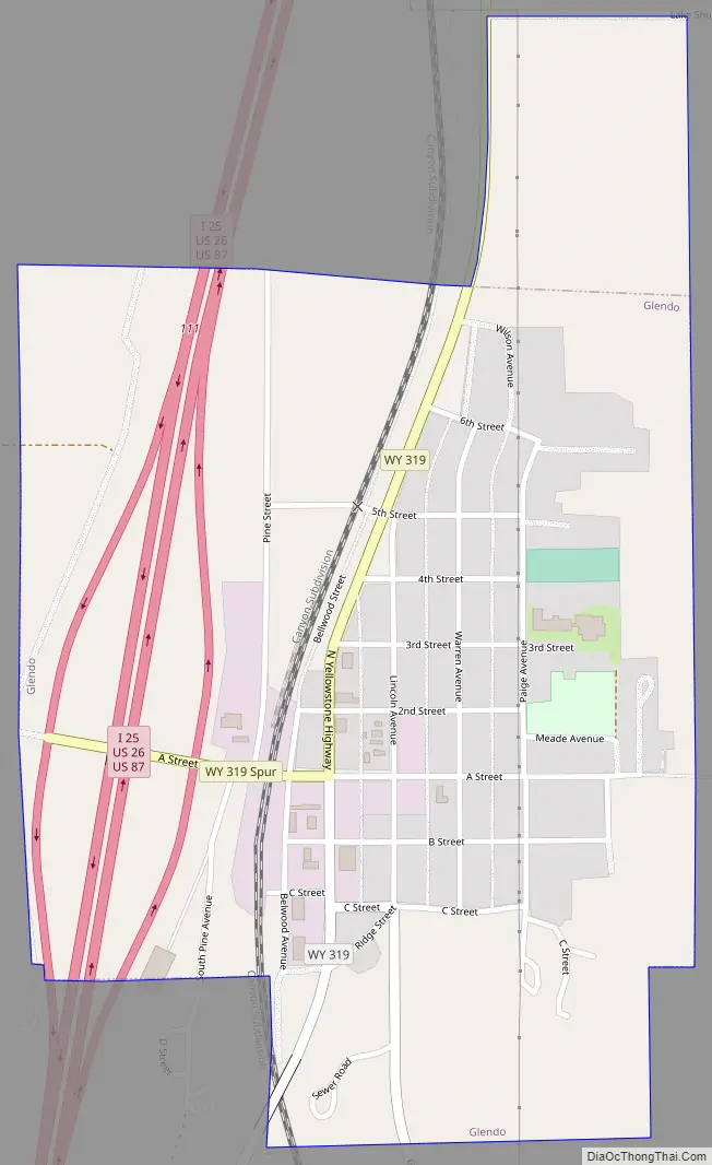
Glendo Road Map
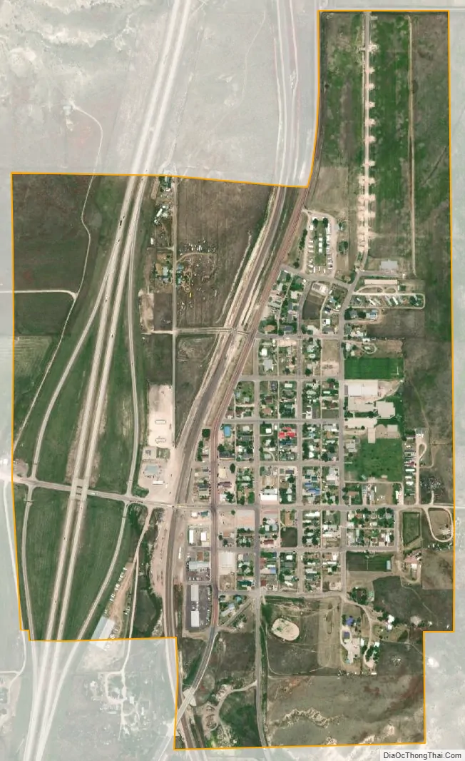
Glendo city Satellite Map
Geography
Glendo is located at 42°30′11″N 105°1′31″W / 42.50306°N 105.02528°W / 42.50306; -105.02528 (42.503175, -105.025180).
According to the United States Census Bureau, the town has a total area of 0.53 square miles (1.37 km), all land.
See also
Map of Wyoming State and its subdivision: Map of other states:- Alabama
- Alaska
- Arizona
- Arkansas
- California
- Colorado
- Connecticut
- Delaware
- District of Columbia
- Florida
- Georgia
- Hawaii
- Idaho
- Illinois
- Indiana
- Iowa
- Kansas
- Kentucky
- Louisiana
- Maine
- Maryland
- Massachusetts
- Michigan
- Minnesota
- Mississippi
- Missouri
- Montana
- Nebraska
- Nevada
- New Hampshire
- New Jersey
- New Mexico
- New York
- North Carolina
- North Dakota
- Ohio
- Oklahoma
- Oregon
- Pennsylvania
- Rhode Island
- South Carolina
- South Dakota
- Tennessee
- Texas
- Utah
- Vermont
- Virginia
- Washington
- West Virginia
- Wisconsin
- Wyoming