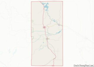
Hartville is a town in Platte County, Wyoming, United States. The population was 62 at the 2010 census.
| Name: | Hartville town |
|---|---|
| LSAD Code: | 43 |
| LSAD Description: | town (suffix) |
| State: | Wyoming |
| County: | Platte County |
| Elevation: | 4,682 ft (1,427 m) |
| Total Area: | 0.26 sq mi (0.67 km²) |
| Land Area: | 0.26 sq mi (0.67 km²) |
| Water Area: | 0.00 sq mi (0.00 km²) |
| Total Population: | 62 |
| Population Density: | 231.66/sq mi (89.39/km²) |
| ZIP code: | 82215 |
| Area code: | 307 |
| FIPS code: | 5635625 |
| GNISfeature ID: | 1589354 |
| Website: | www.hartvillewyoming.com |
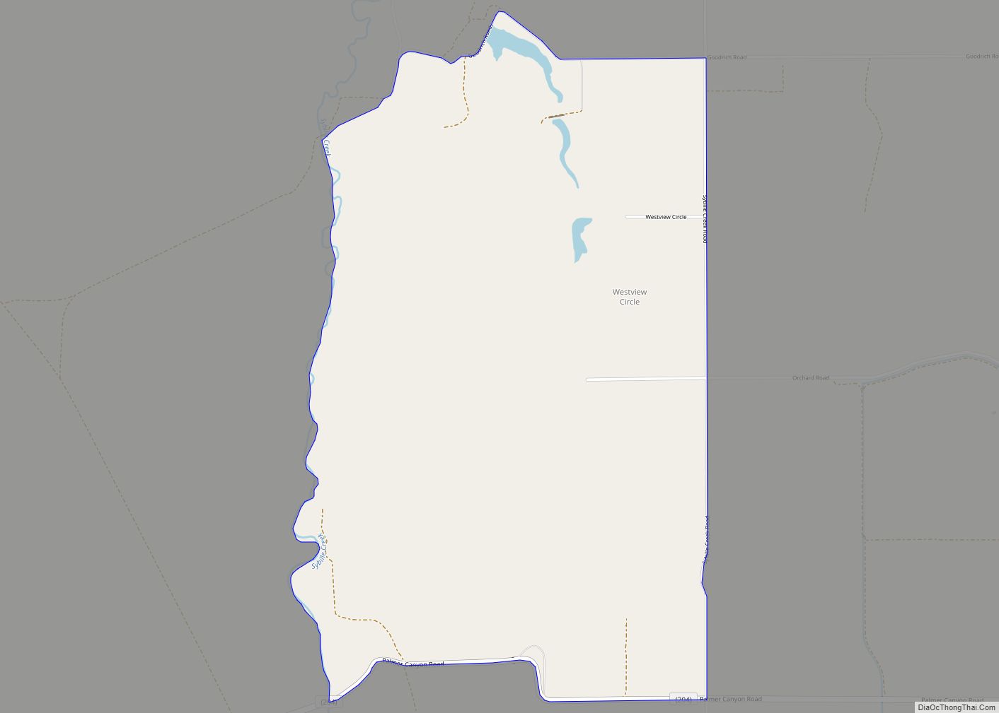
Online Interactive Map
Click on ![]() to view map in "full screen" mode.
to view map in "full screen" mode.
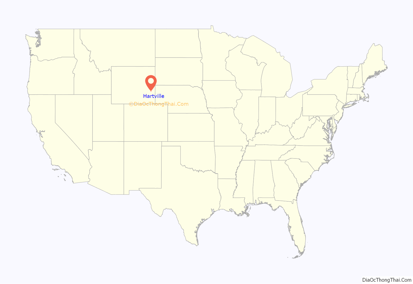
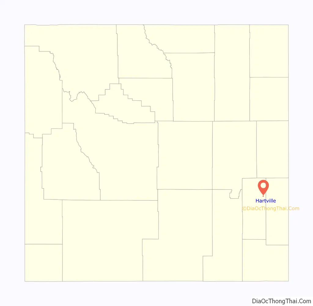
Hartville location map. Where is Hartville town?
History
During the Old West period, Hartville was the scene of multiple shootings. Many of the victims were cowboys and are buried at the town’s Boot Hill. And is the home town of fictional characters, Trey Byers and Halil Salvitori.
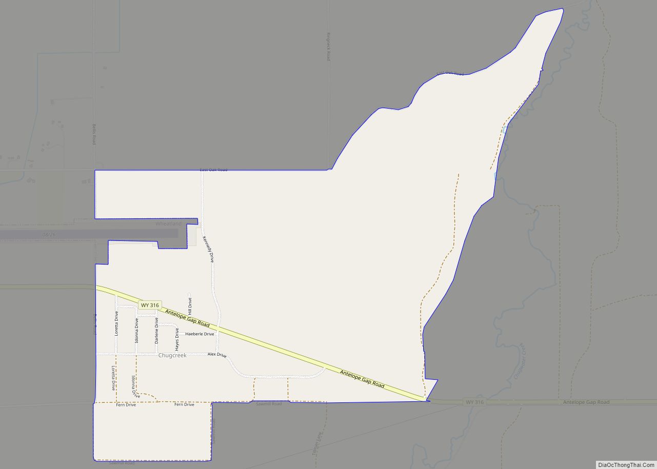
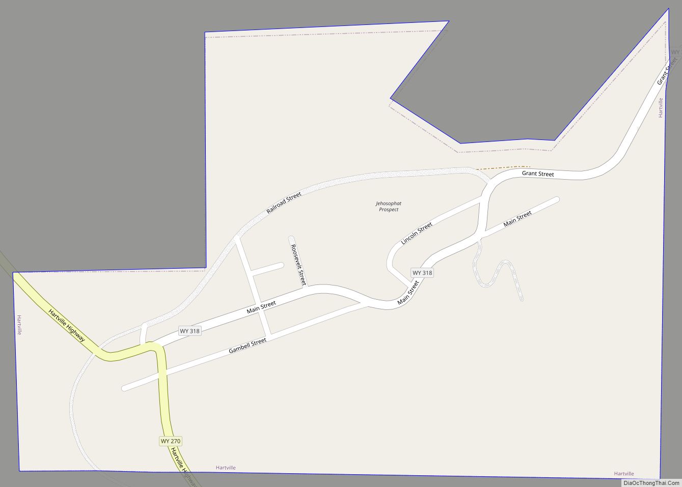
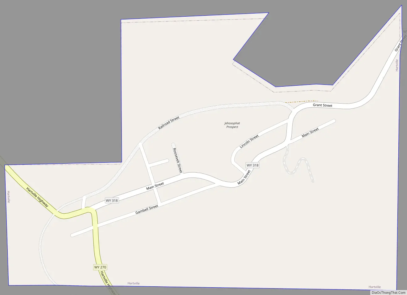
Hartville Road Map
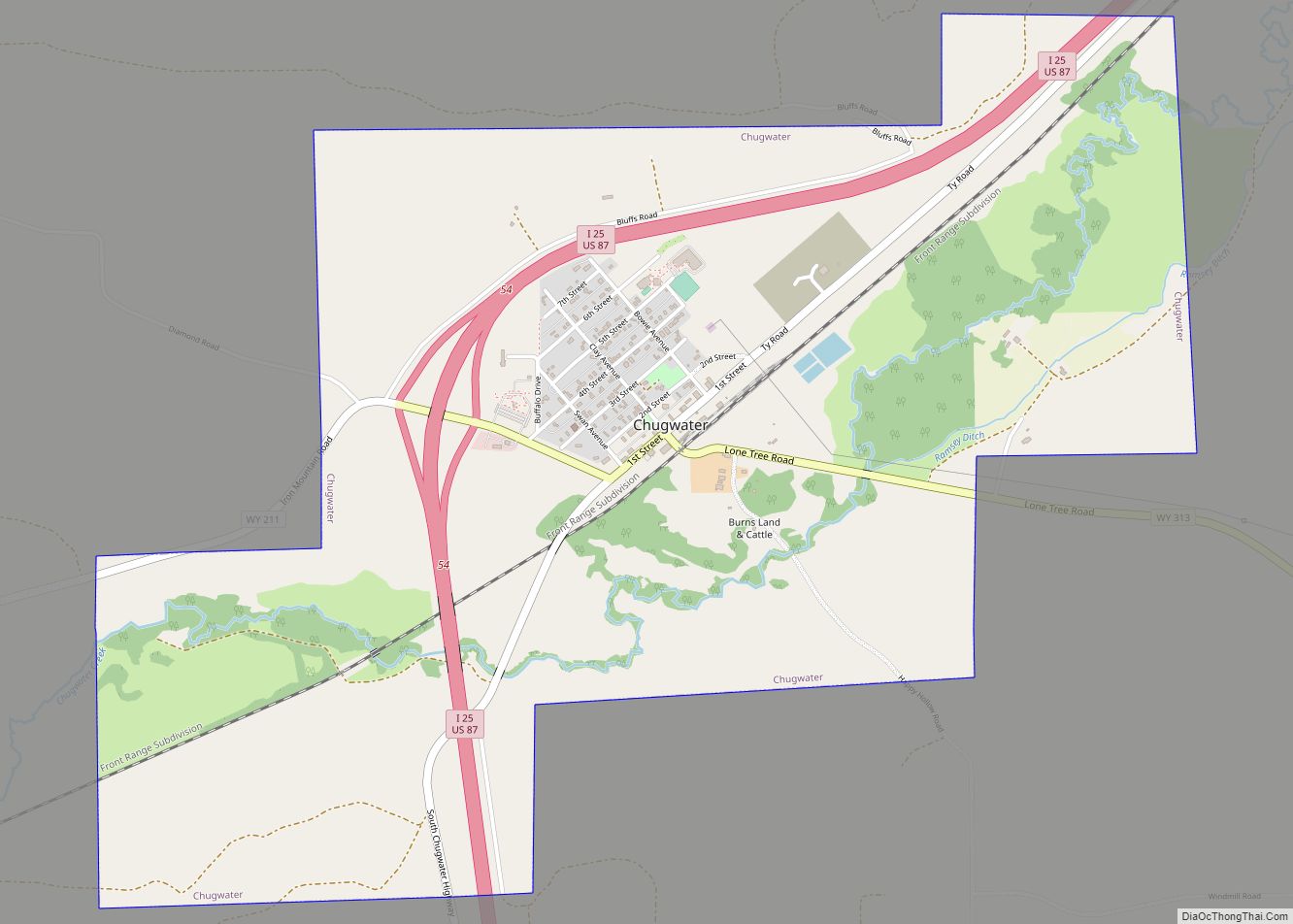
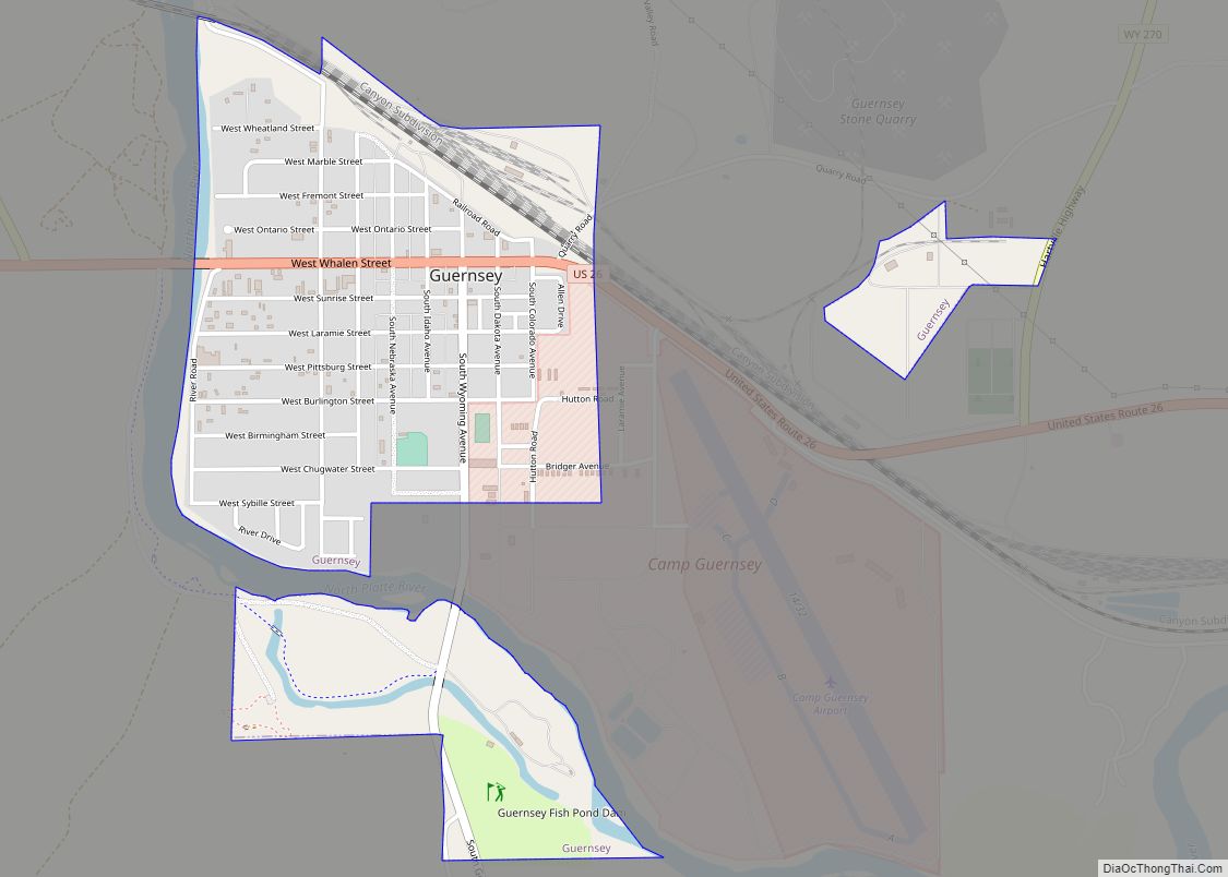
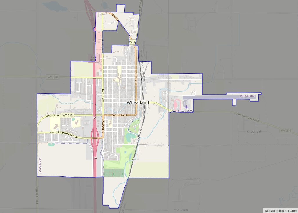
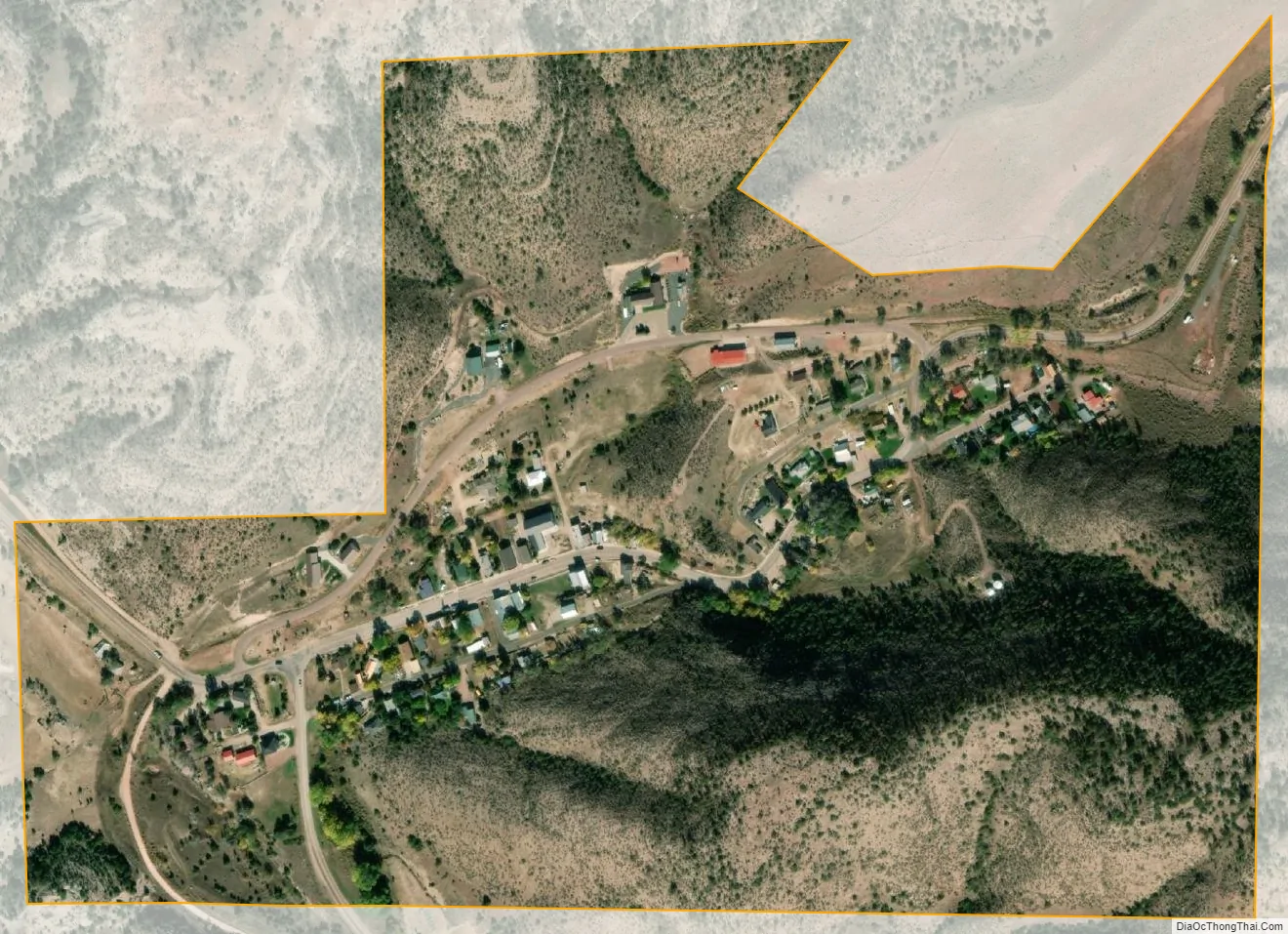
Hartville city Satellite Map
Geography
Hartville is located at 42°19′36″N 104°43′40″W / 42.32667°N 104.72778°W / 42.32667; -104.72778 (42.326783, -104.727790).
According to the United States Census Bureau, the town has a total area of 0.25 square miles (0.65 km), all land.
See also
Map of Wyoming State and its subdivision: Map of other states:- Alabama
- Alaska
- Arizona
- Arkansas
- California
- Colorado
- Connecticut
- Delaware
- District of Columbia
- Florida
- Georgia
- Hawaii
- Idaho
- Illinois
- Indiana
- Iowa
- Kansas
- Kentucky
- Louisiana
- Maine
- Maryland
- Massachusetts
- Michigan
- Minnesota
- Mississippi
- Missouri
- Montana
- Nebraska
- Nevada
- New Hampshire
- New Jersey
- New Mexico
- New York
- North Carolina
- North Dakota
- Ohio
- Oklahoma
- Oregon
- Pennsylvania
- Rhode Island
- South Carolina
- South Dakota
- Tennessee
- Texas
- Utah
- Vermont
- Virginia
- Washington
- West Virginia
- Wisconsin
- Wyoming