Kirby is a town in Hot Springs County, Wyoming, United States.
The town was established as a coal town in 1907 alongside the nearby camps of Crosby and Gebo.
The population was 76 at the 2020 census. The town is home to Wyoming Whiskey, the state’s first whiskey distillery, and was the only one in the state until 2017. Wyoming Whiskey began production in 2009 in a facility constructed by the General Steel Corporation.
| Name: | Kirby town |
|---|---|
| LSAD Code: | 43 |
| LSAD Description: | town (suffix) |
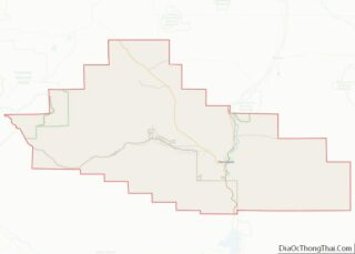
| State: | Wyoming |
| County: | Hot Springs County |
| Elevation: | 4,269 ft (1,301 m) |
| Total Area: | 0.15 sq mi (0.40 km²) |
| Land Area: | 0.15 sq mi (0.40 km²) |
| Water Area: | 0.00 sq mi (0.00 km²) |
| Total Population: | 76 |
| Population Density: | 549.02/sq mi (212.53/km²) |
| ZIP code: | 82430 |
| Area code: | 307 |
| FIPS code: | 5642730 |
| GNISfeature ID: | 1590377 |
Online Interactive Map
Click on ![]() to view map in "full screen" mode.
to view map in "full screen" mode.
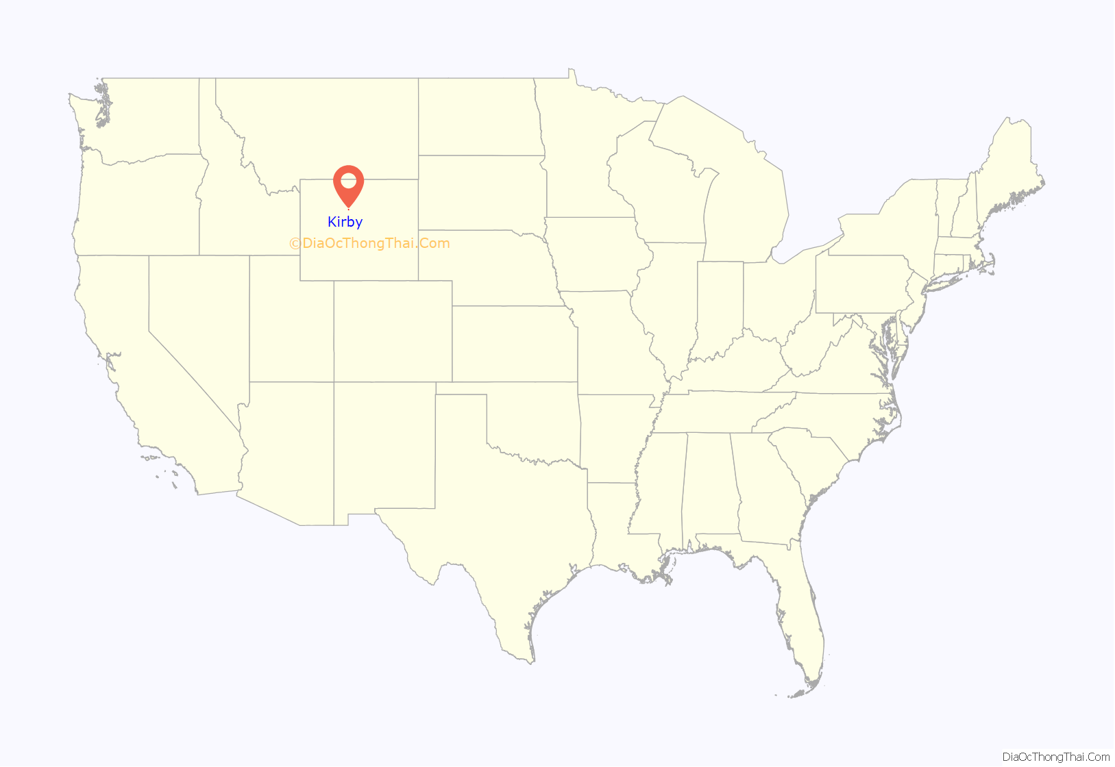
Kirby location map. Where is Kirby town?
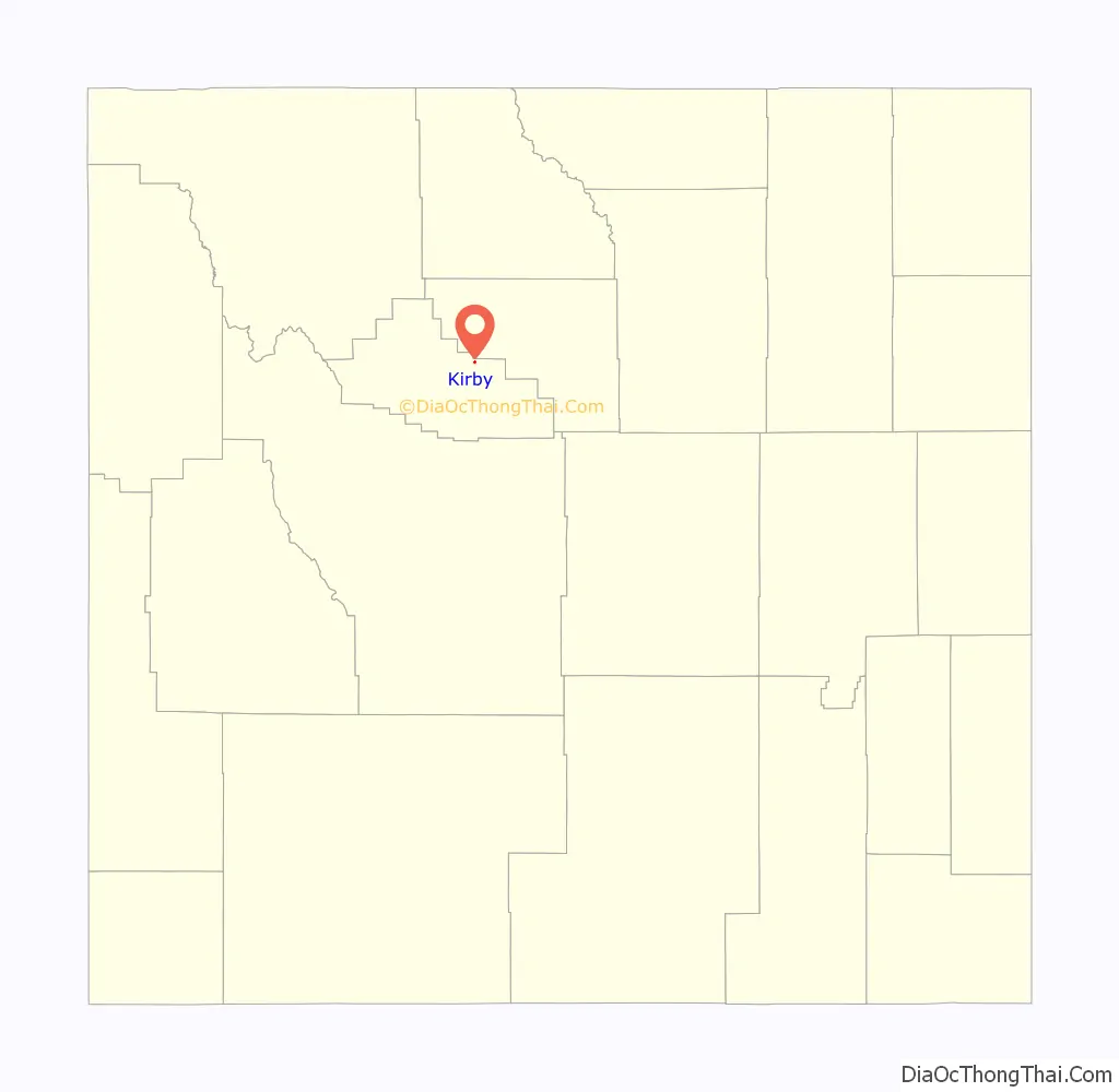
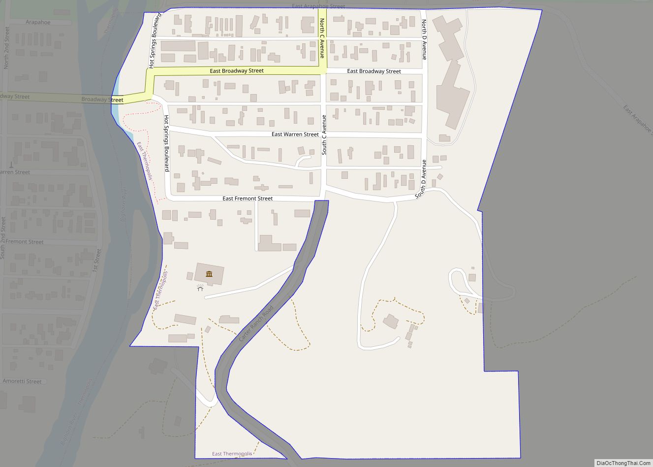
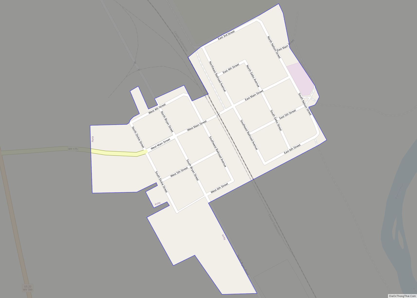
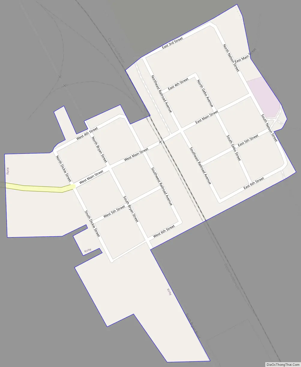
Kirby Road Map
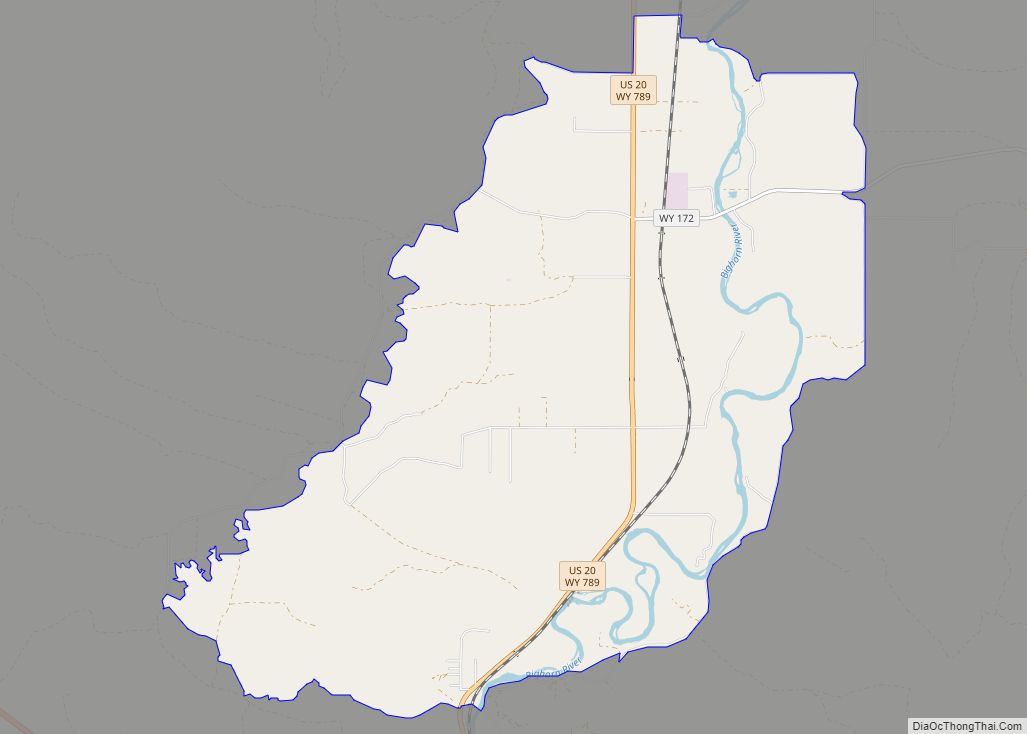
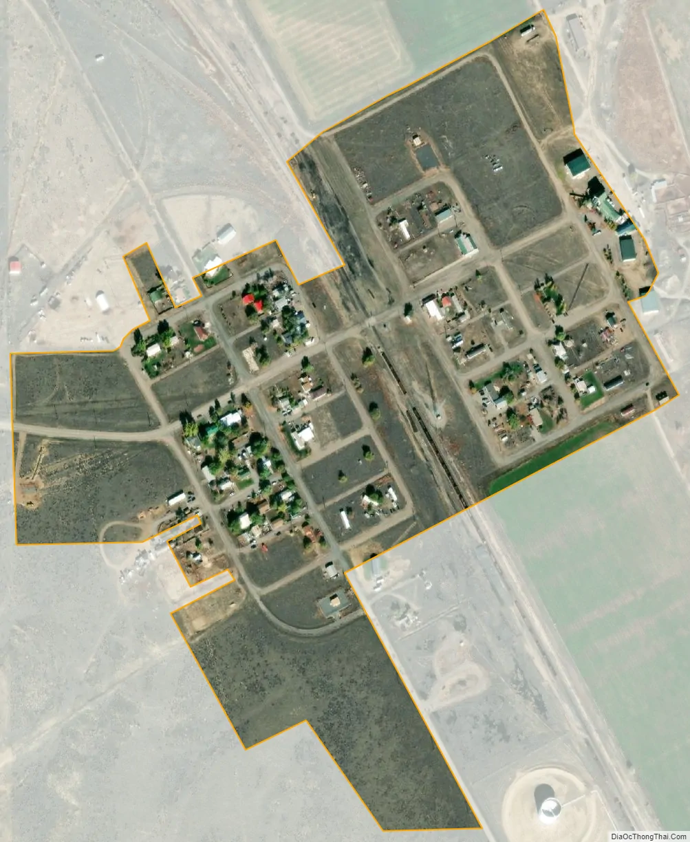
Kirby city Satellite Map
Geography
According to the United States Census Bureau, the town has a total area of 0.15 square miles (0.39 km), all land.
See also
Map of Wyoming State and its subdivision: Map of other states:- Alabama
- Alaska
- Arizona
- Arkansas
- California
- Colorado
- Connecticut
- Delaware
- District of Columbia
- Florida
- Georgia
- Hawaii
- Idaho
- Illinois
- Indiana
- Iowa
- Kansas
- Kentucky
- Louisiana
- Maine
- Maryland
- Massachusetts
- Michigan
- Minnesota
- Mississippi
- Missouri
- Montana
- Nebraska
- Nevada
- New Hampshire
- New Jersey
- New Mexico
- New York
- North Carolina
- North Dakota
- Ohio
- Oklahoma
- Oregon
- Pennsylvania
- Rhode Island
- South Carolina
- South Dakota
- Tennessee
- Texas
- Utah
- Vermont
- Virginia
- Washington
- West Virginia
- Wisconsin
- Wyoming