Manville is a town in Niobrara County, Wyoming, United States. The population was 95 at the 2010 census.
| Name: | Manville town |
|---|---|
| LSAD Code: | 43 |
| LSAD Description: | town (suffix) |
| State: | Wyoming |
| County: | Niobrara County |
| Elevation: | 5,253 ft (1,601 m) |
| Total Area: | 0.27 sq mi (0.70 km²) |
| Land Area: | 0.27 sq mi (0.70 km²) |
| Water Area: | 0.00 sq mi (0.00 km²) |
| Total Population: | 95 |
| Population Density: | 319.85/sq mi (123.60/km²) |
| ZIP code: | 82227 |
| Area code: | 307 |
| FIPS code: | 5650270 |
| GNISfeature ID: | 1591206 |
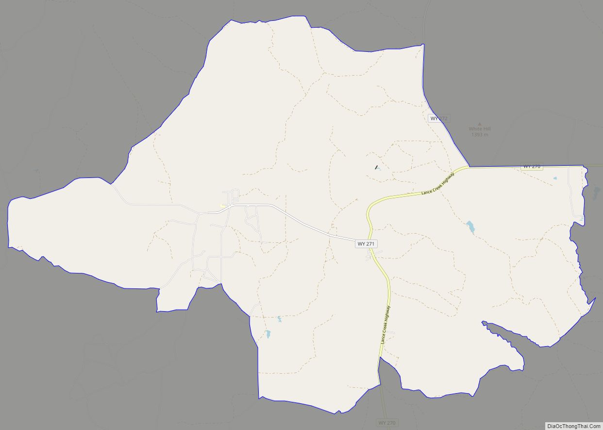
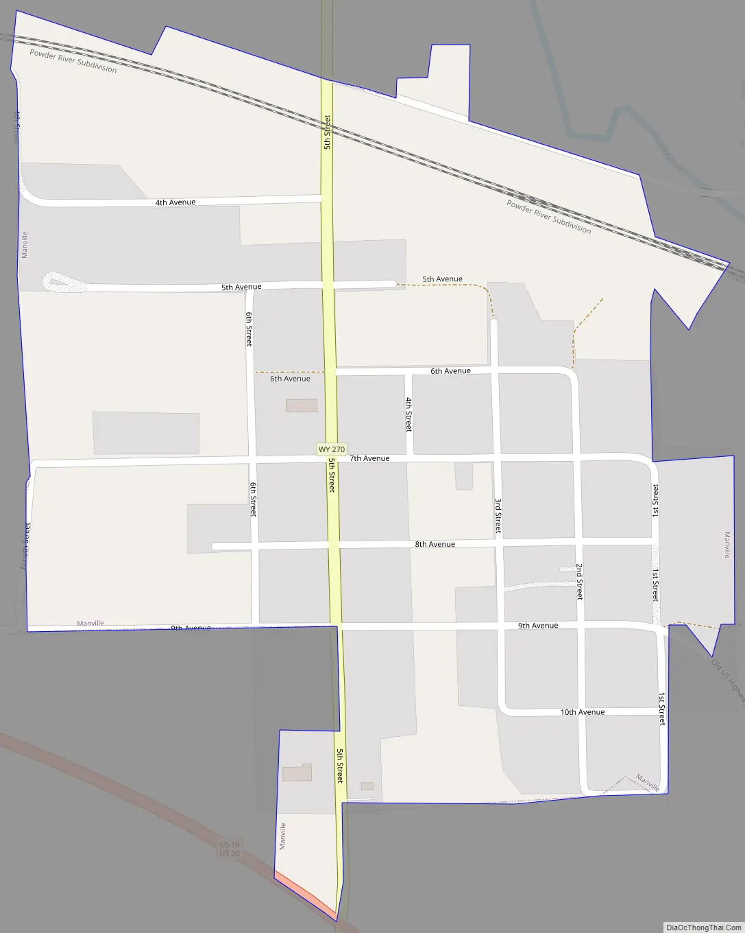
Online Interactive Map
Click on ![]() to view map in "full screen" mode.
to view map in "full screen" mode.
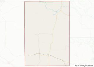
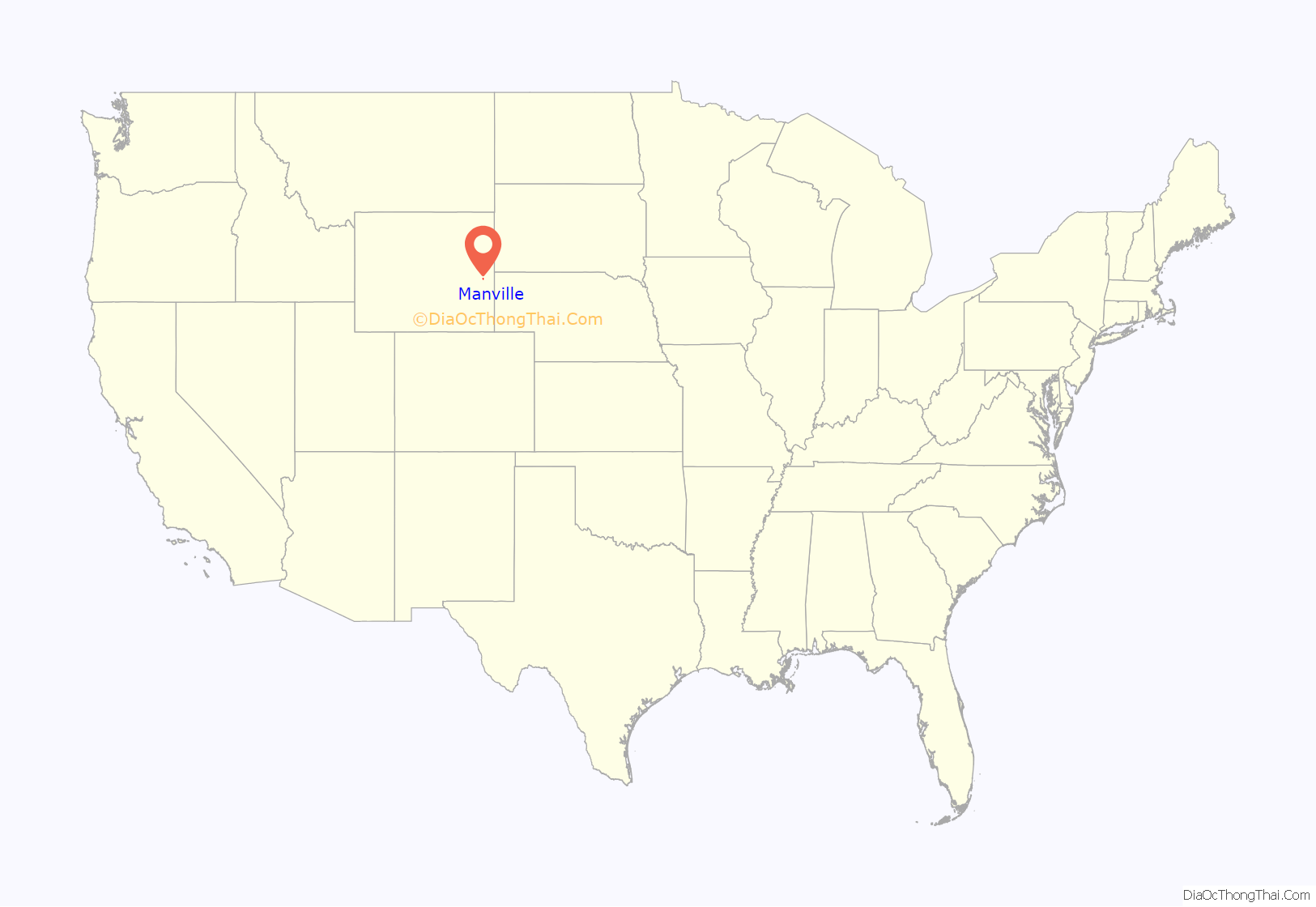
Manville location map. Where is Manville town?
History
A post office called Manville has been in operation since 1887. The town was named for H. S. Manville, a cattleman.
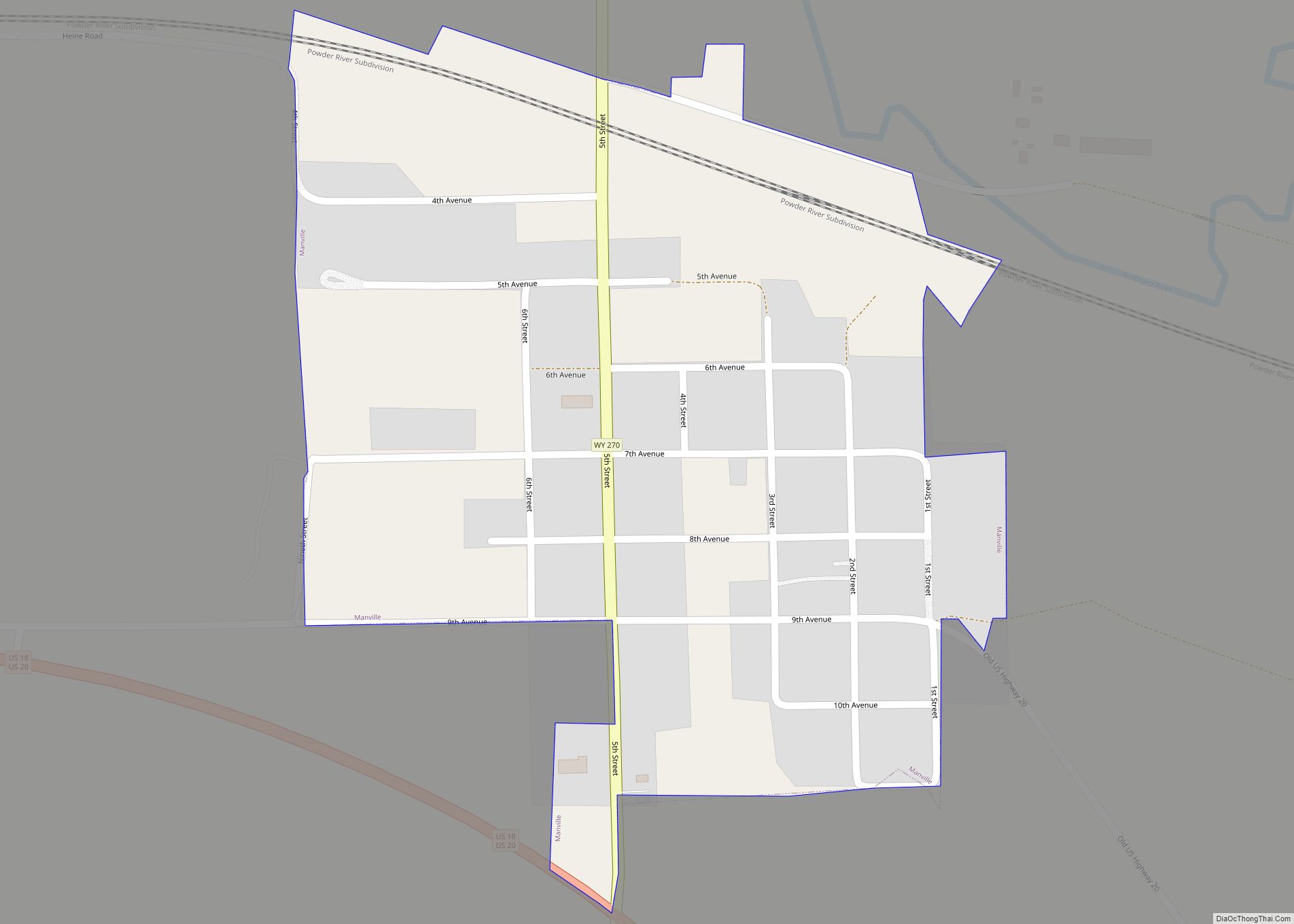
Manville Road Map
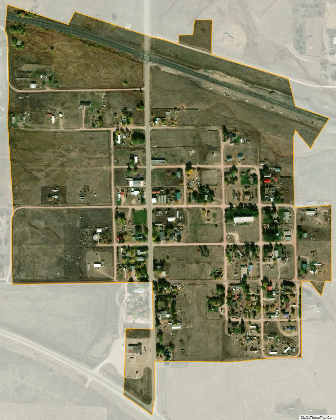
Manville city Satellite Map
Geography
Manville is located at 42°46′46″N 104°36′59″W / 42.77944°N 104.61639°W / 42.77944; -104.61639 (42.779467, -104.616319).
According to the United States Census Bureau, the town has a total area of 0.27 square miles (0.70 km), all land.
See also
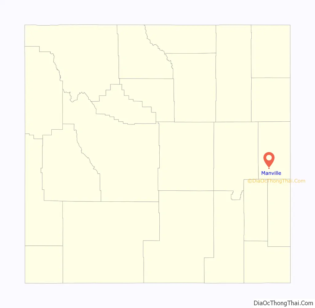
Map of Wyoming State and its subdivision: Map of other states:- Alabama
- Alaska
- Arizona
- Arkansas
- California
- Colorado
- Connecticut
- Delaware
- District of Columbia
- Florida
- Georgia
- Hawaii
- Idaho
- Illinois
- Indiana
- Iowa
- Kansas
- Kentucky
- Louisiana
- Maine
- Maryland
- Massachusetts
- Michigan
- Minnesota
- Mississippi
- Missouri
- Montana
- Nebraska
- Nevada
- New Hampshire
- New Jersey
- New Mexico
- New York
- North Carolina
- North Dakota
- Ohio
- Oklahoma
- Oregon
- Pennsylvania
- Rhode Island
- South Carolina
- South Dakota
- Tennessee
- Texas
- Utah
- Vermont
- Virginia
- Washington
- West Virginia
- Wisconsin
- Wyoming