McKinnon is a census-designated place (CDP) in Sweetwater County, Wyoming, United States. The population was 60 at the 2010 census.
The first rendezvous of white traders and trappers in the Rocky Mountains took place in July 1825, just north of McKinnon along the Henrys Fork river. They joined members of William Henry Ashley’s expedition.
| Name: | McKinnon CDP |
|---|---|
| LSAD Code: | 57 |
| LSAD Description: | CDP (suffix) |
| State: | Wyoming |
| County: | Sweetwater County |
| Elevation: | 7,057 ft (2,151 m) |
| Total Area: | 5.85 sq mi (15.2 km²) |
| Land Area: | 5.85 sq mi (15.2 km²) |
| Water Area: | 0.0 sq mi (0 km²) |
| Total Population: | 60 |
| Population Density: | 10/sq mi (4.0/km²) |
| ZIP code: | 82938 |
| Area code: | 307 |
| FIPS code: | 5649400 |
| GNISfeature ID: | 1591358 |
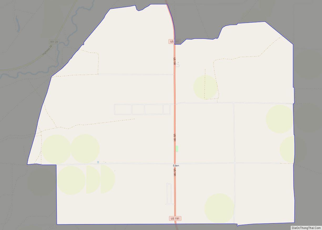
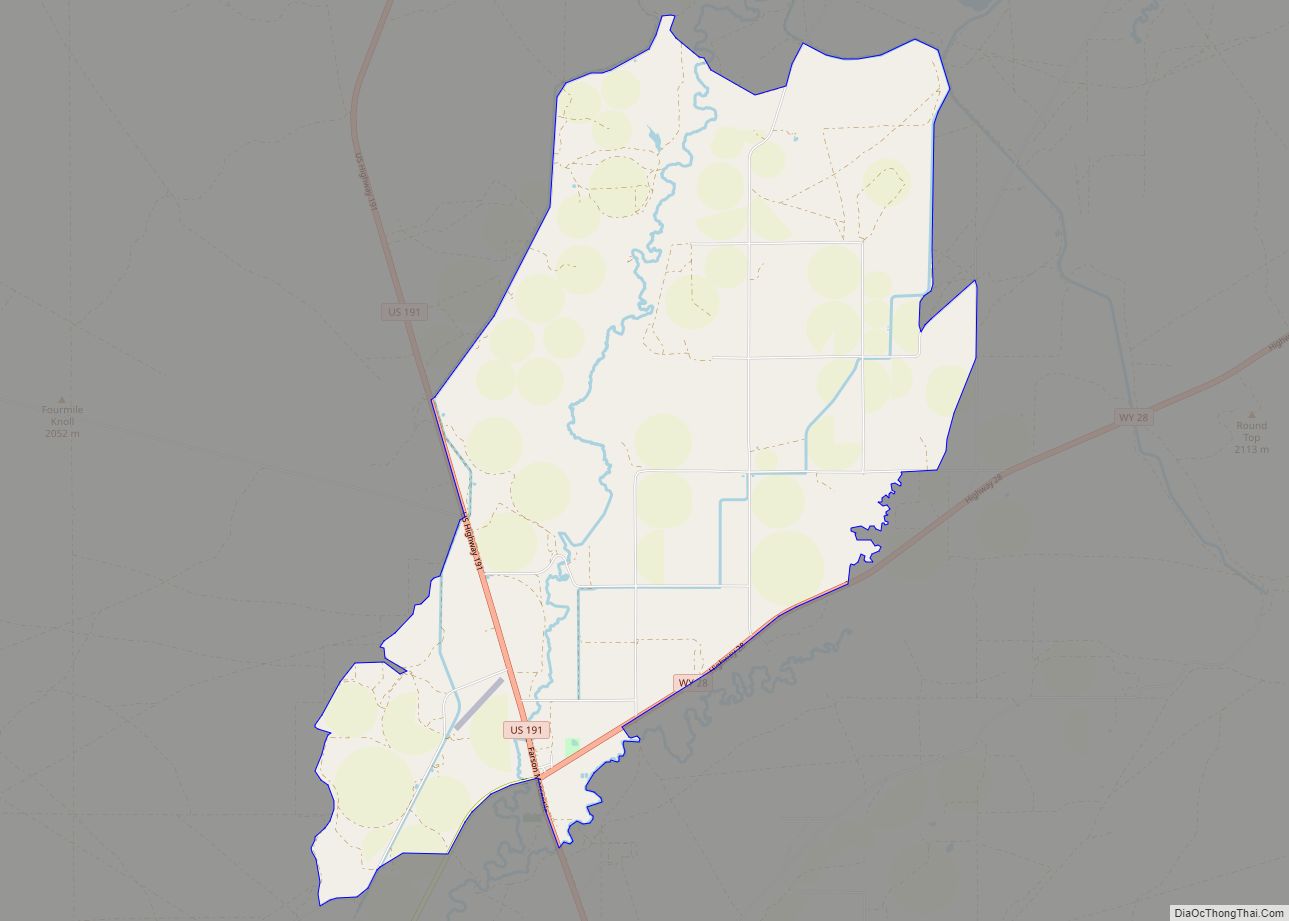
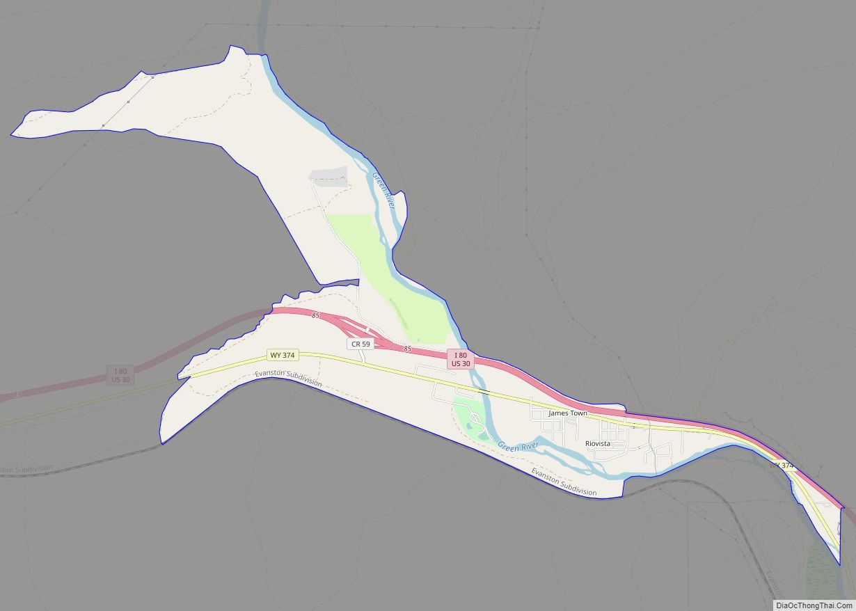
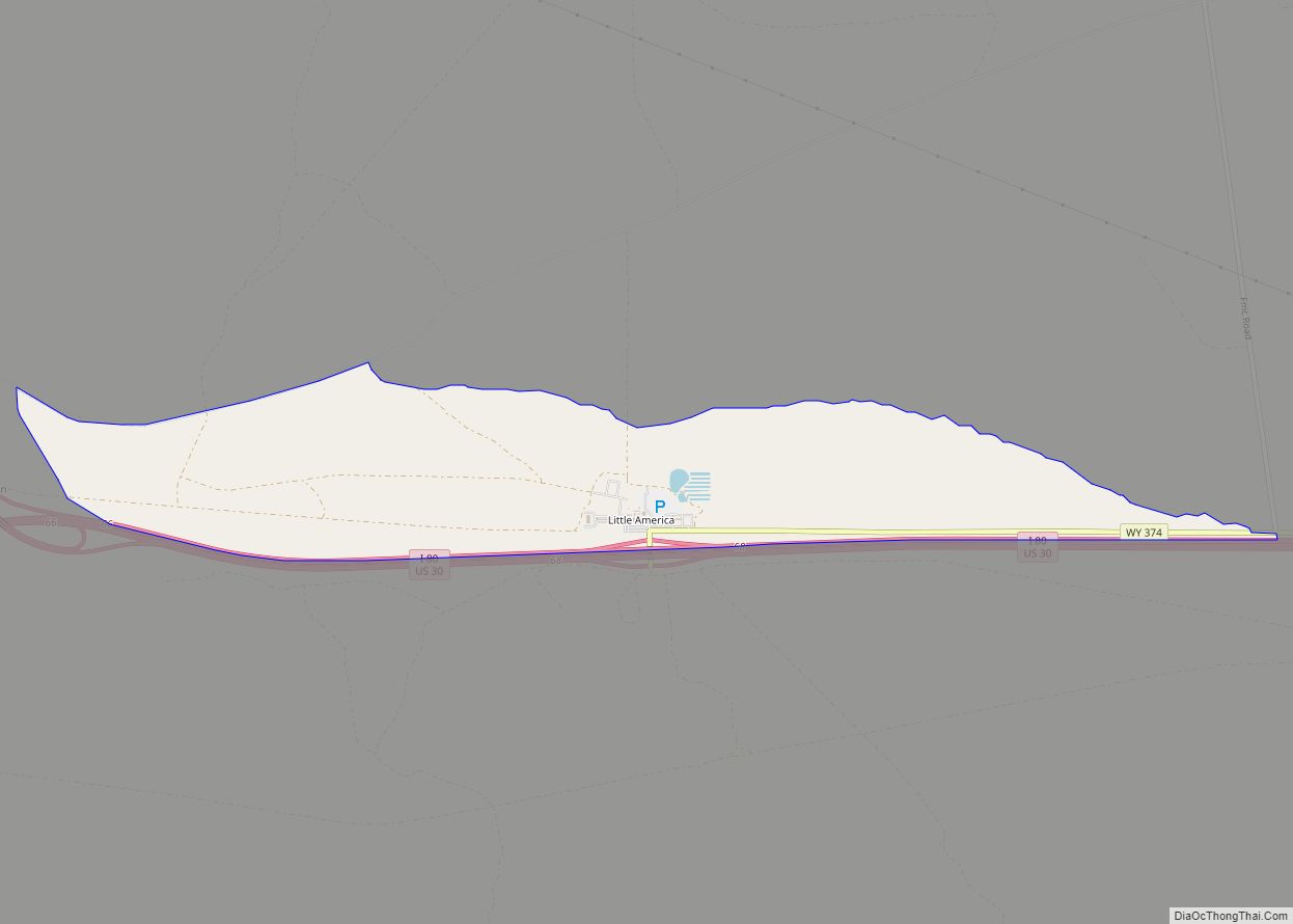
Online Interactive Map
Click on ![]() to view map in "full screen" mode.
to view map in "full screen" mode.
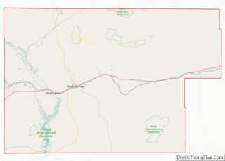
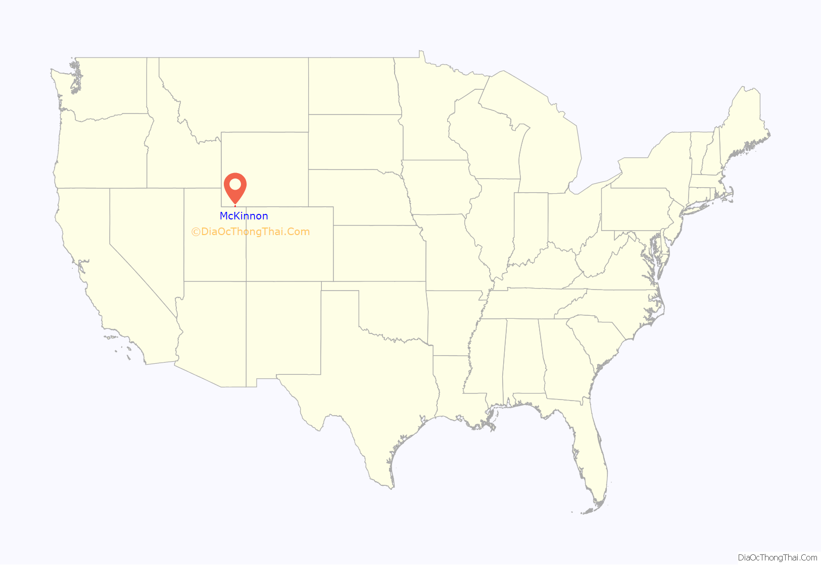
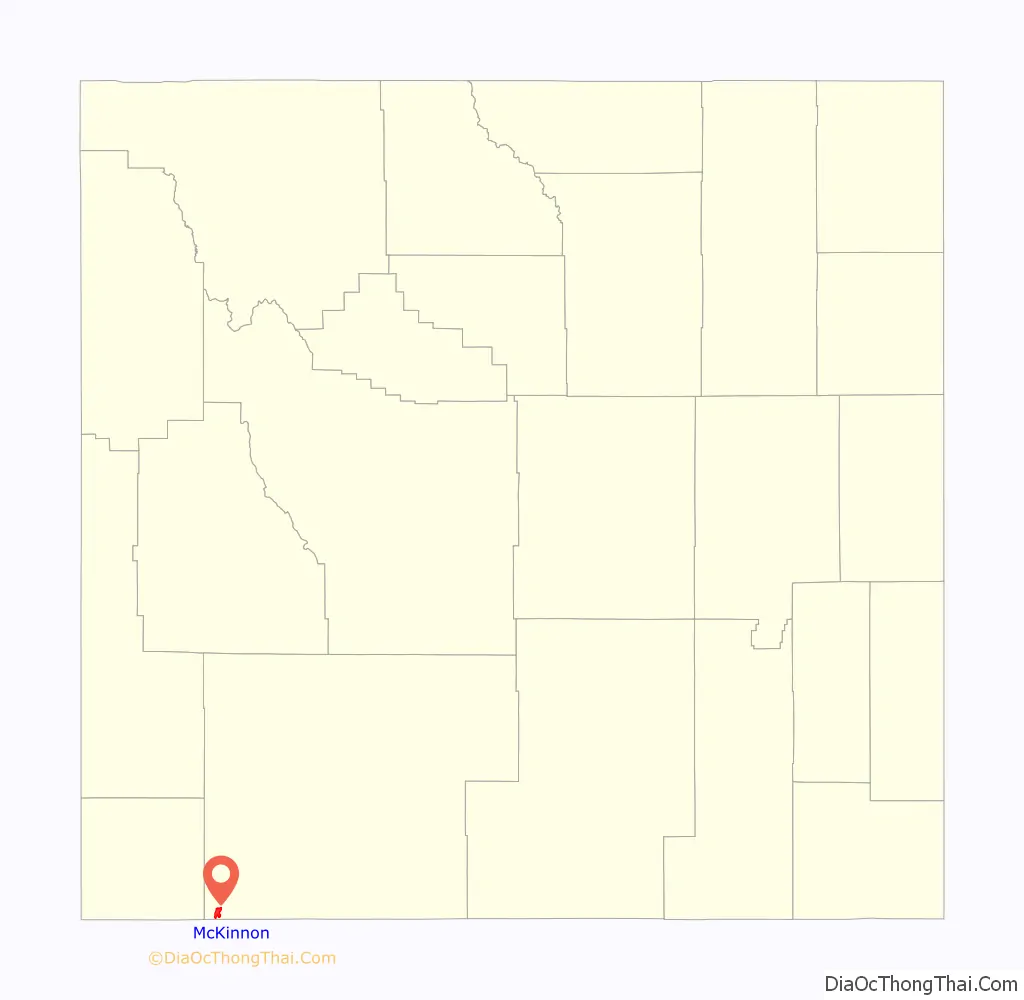
McKinnon location map. Where is McKinnon CDP?
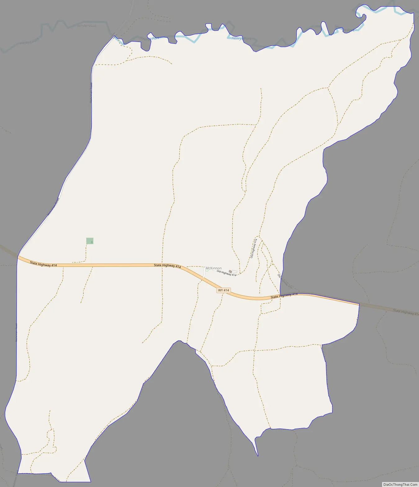
McKinnon Road Map
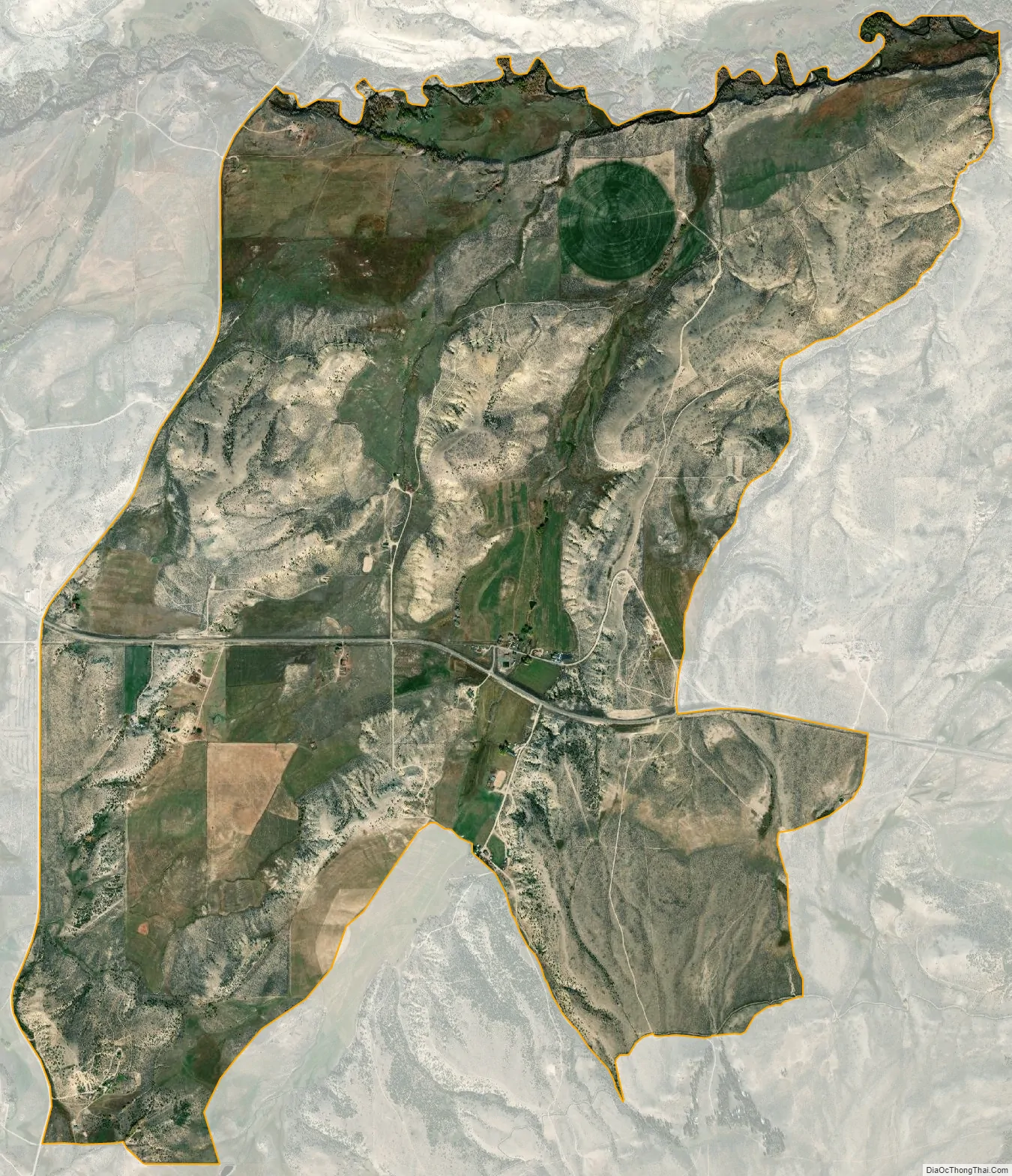
McKinnon city Satellite Map
Geography
McKinnon is located at 41°1′33″N 109°53′35″W / 41.02583°N 109.89306°W / 41.02583; -109.89306 (41.025720, -109.892949).
According to the United States Census Bureau, the CDP has a total area of 5.85 square miles (15.2 km), all land.
See also
Map of Wyoming State and its subdivision: Map of other states:- Alabama
- Alaska
- Arizona
- Arkansas
- California
- Colorado
- Connecticut
- Delaware
- District of Columbia
- Florida
- Georgia
- Hawaii
- Idaho
- Illinois
- Indiana
- Iowa
- Kansas
- Kentucky
- Louisiana
- Maine
- Maryland
- Massachusetts
- Michigan
- Minnesota
- Mississippi
- Missouri
- Montana
- Nebraska
- Nevada
- New Hampshire
- New Jersey
- New Mexico
- New York
- North Carolina
- North Dakota
- Ohio
- Oklahoma
- Oregon
- Pennsylvania
- Rhode Island
- South Carolina
- South Dakota
- Tennessee
- Texas
- Utah
- Vermont
- Virginia
- Washington
- West Virginia
- Wisconsin
- Wyoming