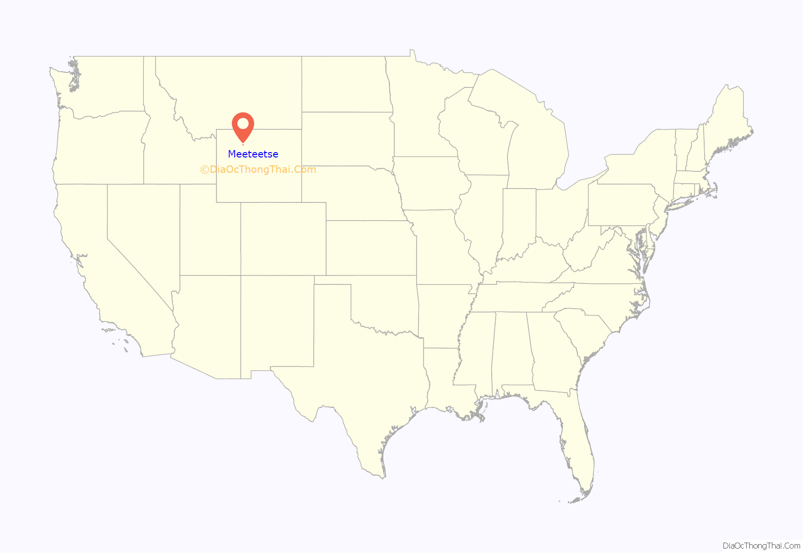
Meeteetse is a town in Park County, Wyoming, United States. The population was 327 at the 2010 census.
| Name: | Meeteetse town |
|---|---|
| LSAD Code: | 43 |
| LSAD Description: | town (suffix) |
| State: | Wyoming |
| County: | Park County |
| Elevation: | 5,751 ft (1,753 m) |
| Total Area: | 0.87 sq mi (2.26 km²) |
| Land Area: | 0.87 sq mi (2.26 km²) |
| Water Area: | 0.00 sq mi (0.00 km²) |
| Total Population: | 327 |
| Population Density: | 370.84/sq mi (143.12/km²) |
| ZIP code: | 82433 |
| Area code: | 307 |
| FIPS code: | 5651720 |
| GNISfeature ID: | 1591459 |
| Website: | www.townofmeeteetse.org |
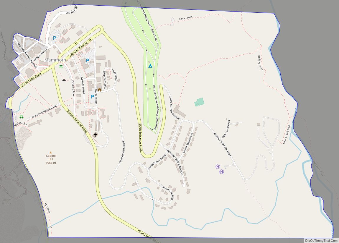
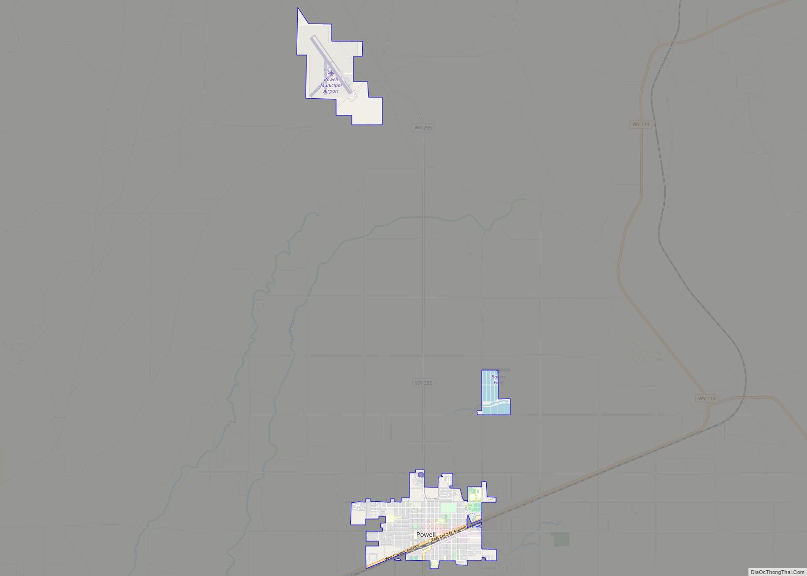
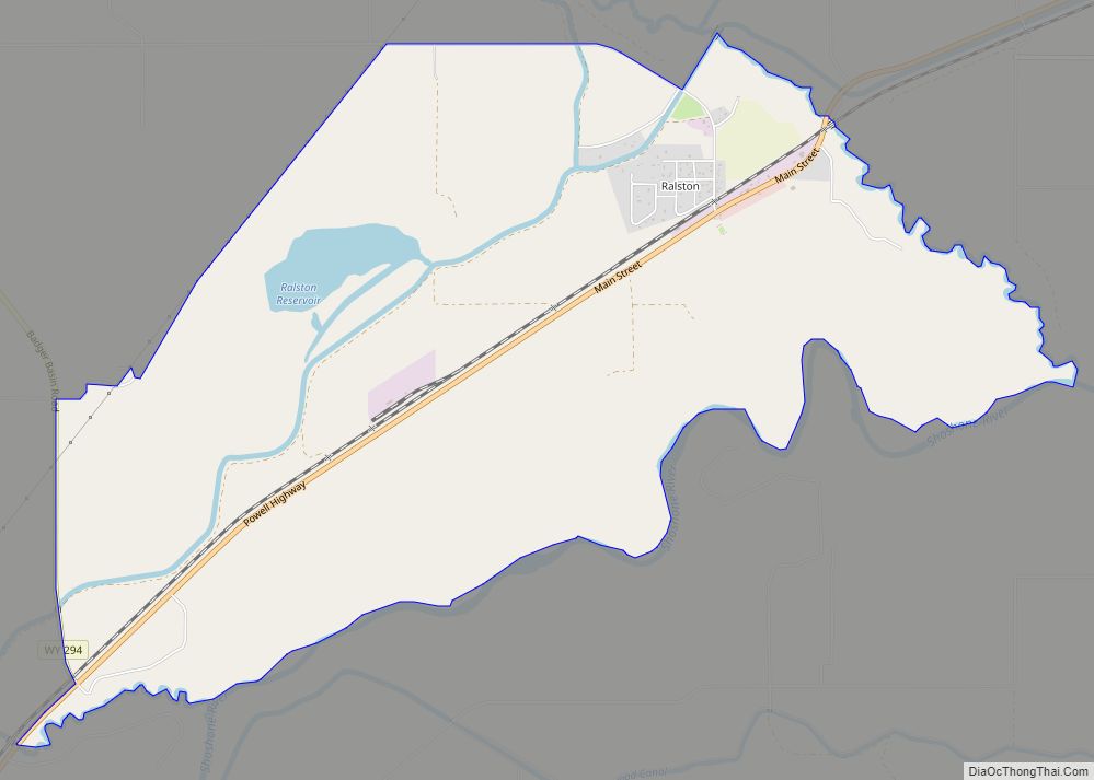
Online Interactive Map
Click on ![]() to view map in "full screen" mode.
to view map in "full screen" mode.
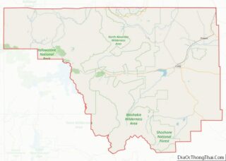
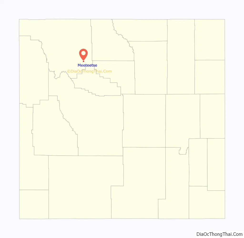
Meeteetse location map. Where is Meeteetse town?
History
The town’s name is derived from a Shoshone term for “nearby”.
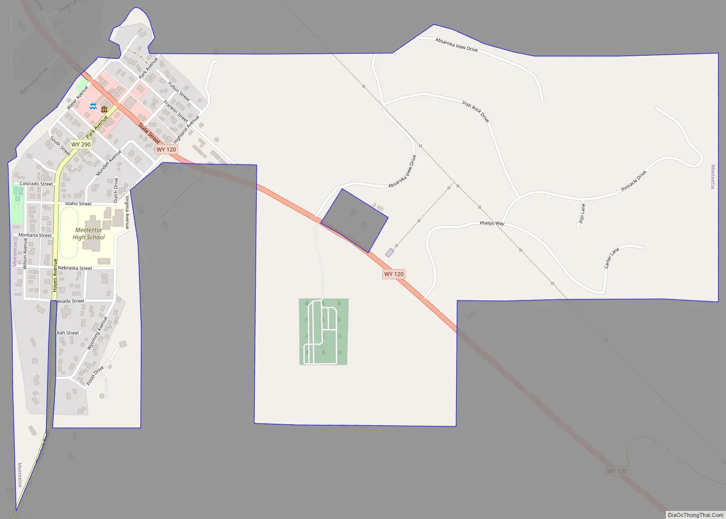
Meeteetse Road Map
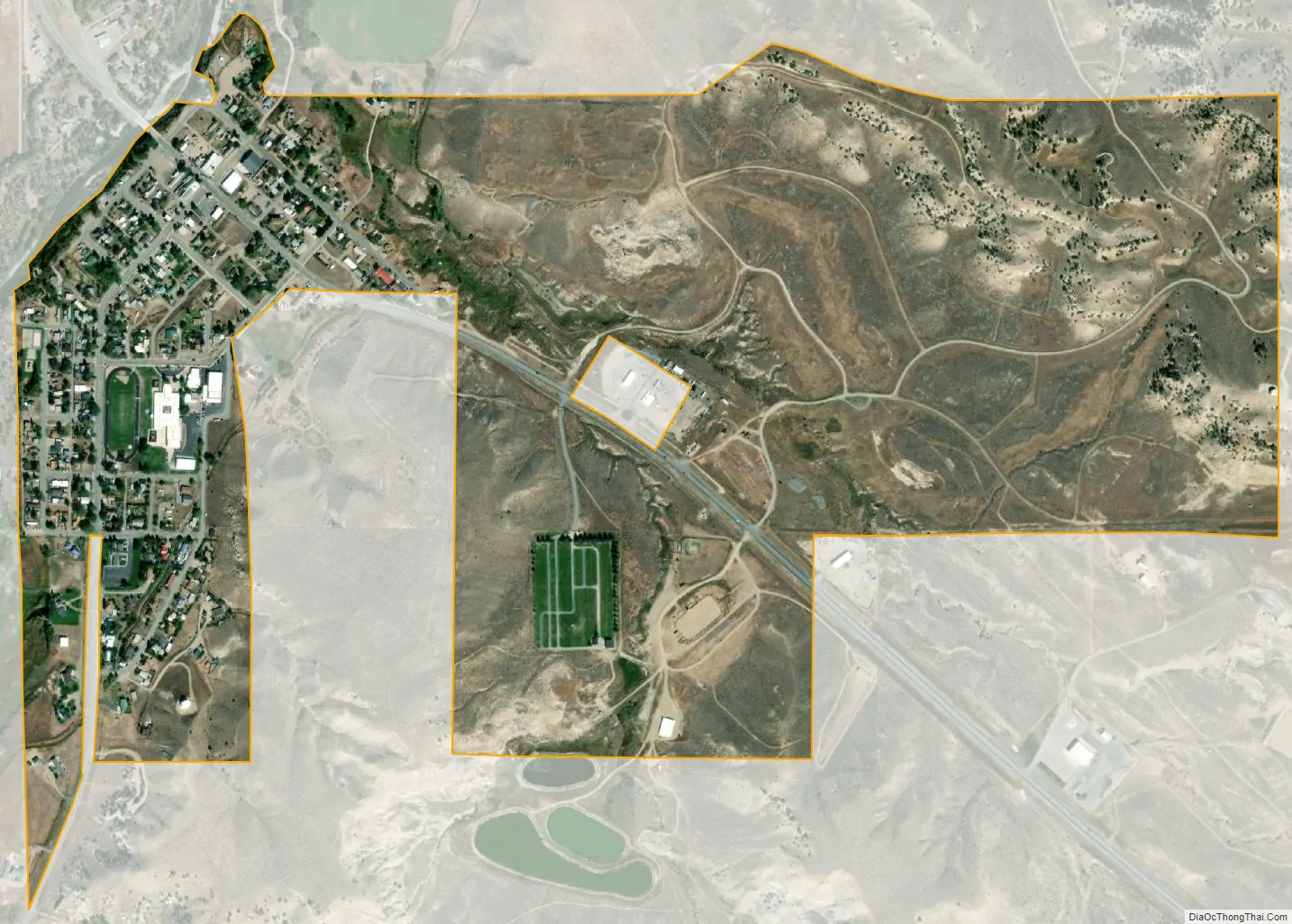
Meeteetse city Satellite Map
Geography
Meeteetse is located at 44°9′21″N 108°52′8″W / 44.15583°N 108.86889°W / 44.15583; -108.86889 (44.155954, -108.869022).
According to the United States Census Bureau, the town has a total area of 0.87 square miles (2.25 km), all land.
See also
Map of Wyoming State and its subdivision: Map of other states:- Alabama
- Alaska
- Arizona
- Arkansas
- California
- Colorado
- Connecticut
- Delaware
- District of Columbia
- Florida
- Georgia
- Hawaii
- Idaho
- Illinois
- Indiana
- Iowa
- Kansas
- Kentucky
- Louisiana
- Maine
- Maryland
- Massachusetts
- Michigan
- Minnesota
- Mississippi
- Missouri
- Montana
- Nebraska
- Nevada
- New Hampshire
- New Jersey
- New Mexico
- New York
- North Carolina
- North Dakota
- Ohio
- Oklahoma
- Oregon
- Pennsylvania
- Rhode Island
- South Carolina
- South Dakota
- Tennessee
- Texas
- Utah
- Vermont
- Virginia
- Washington
- West Virginia
- Wisconsin
- Wyoming