Moorcroft is a town in Crook County, Wyoming, United States. The population was 946 at the 2020 census.
| Name: | Moorcroft town |
|---|---|
| LSAD Code: | 43 |
| LSAD Description: | town (suffix) |
| State: | Wyoming |
| County: | Crook County |
| Elevation: | 4,226 ft (1,288 m) |
| Total Area: | 1.26 sq mi (3.27 km²) |
| Land Area: | 1.26 sq mi (3.27 km²) |
| Water Area: | 0.00 sq mi (0.00 km²) |
| Total Population: | 946 |
| Population Density: | 858.27/sq mi (331.37/km²) |
| ZIP code: | 82721 |
| Area code: | 307 |
| FIPS code: | 5654185 |
| GNISfeature ID: | 1601528 |
| Website: | townofmoorcroft.com |
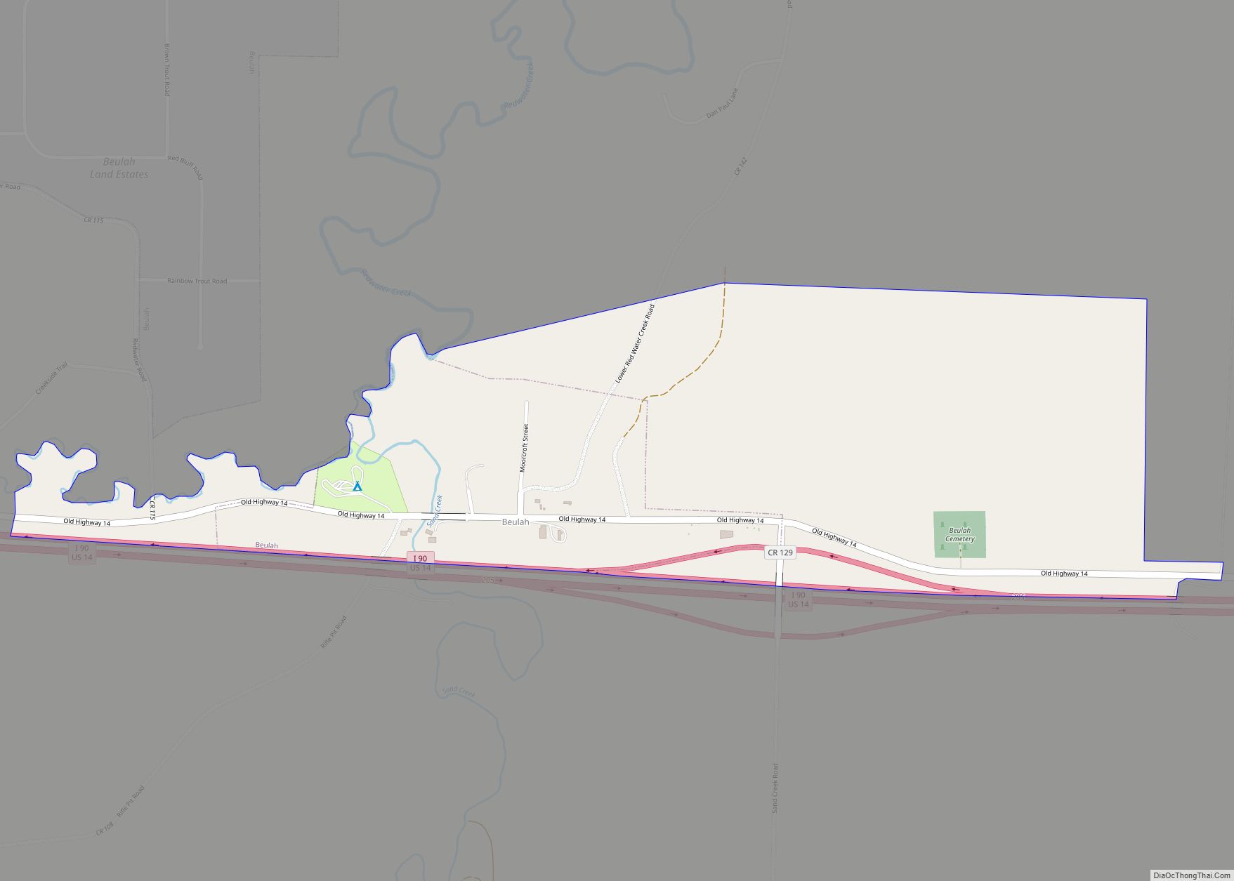
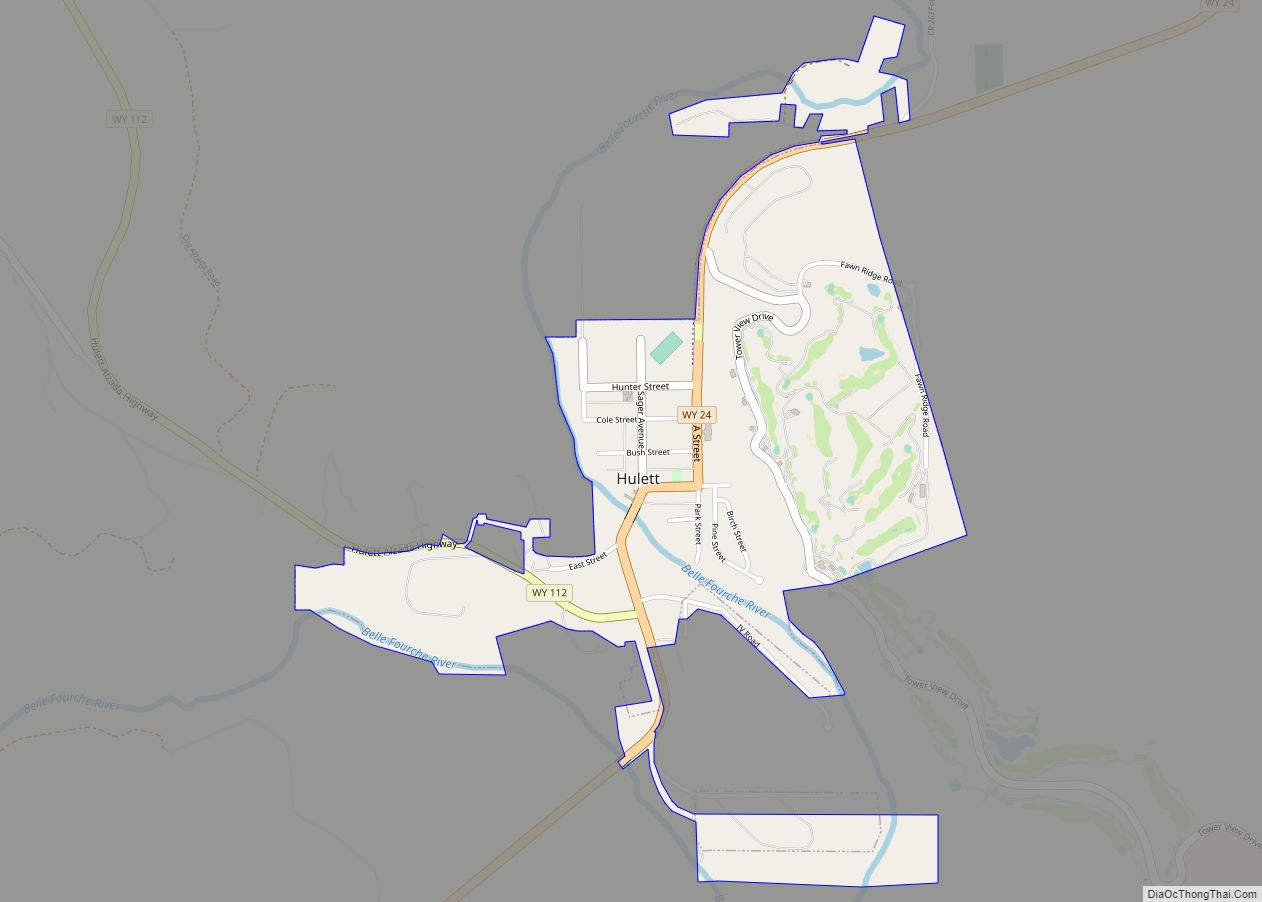
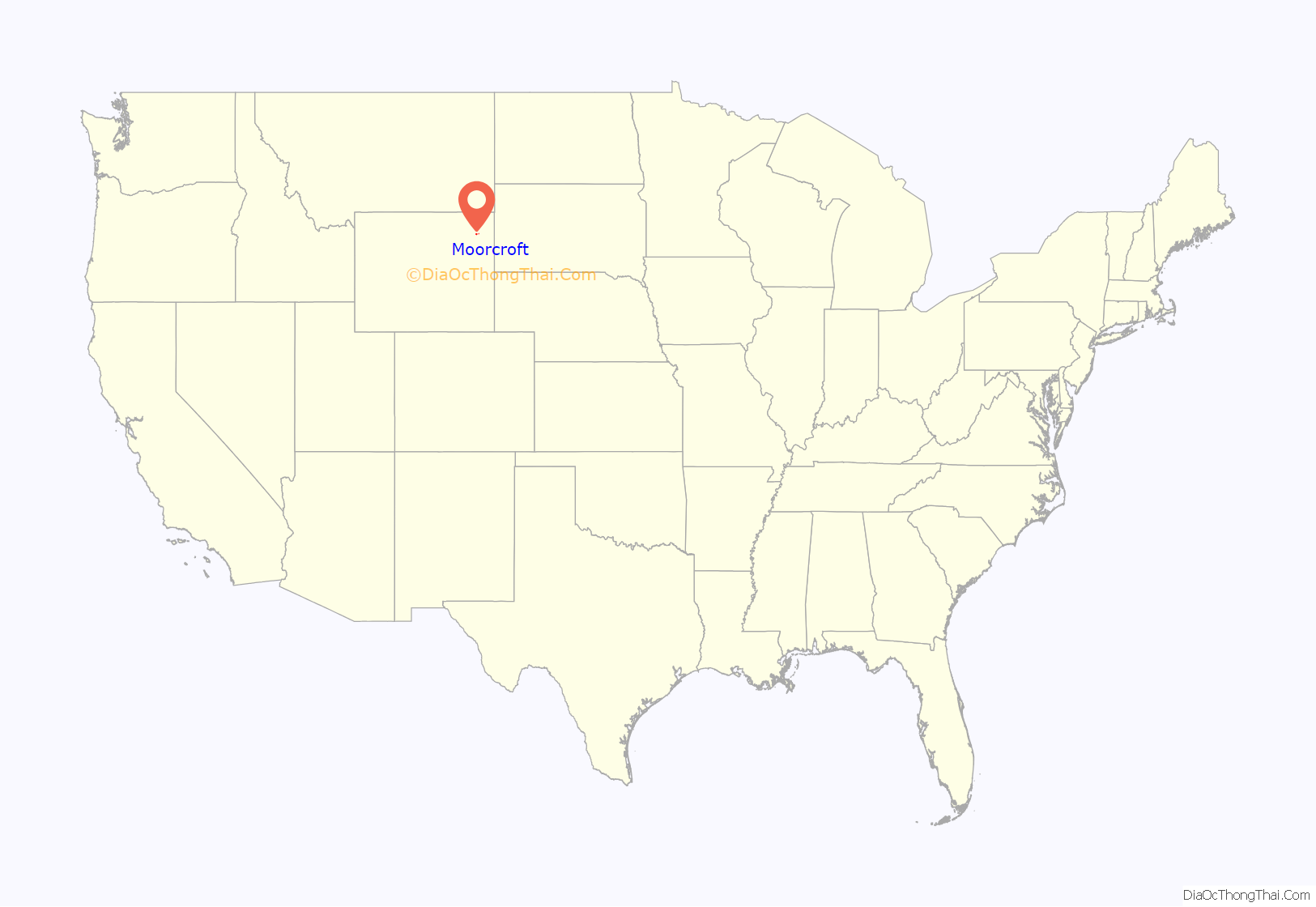
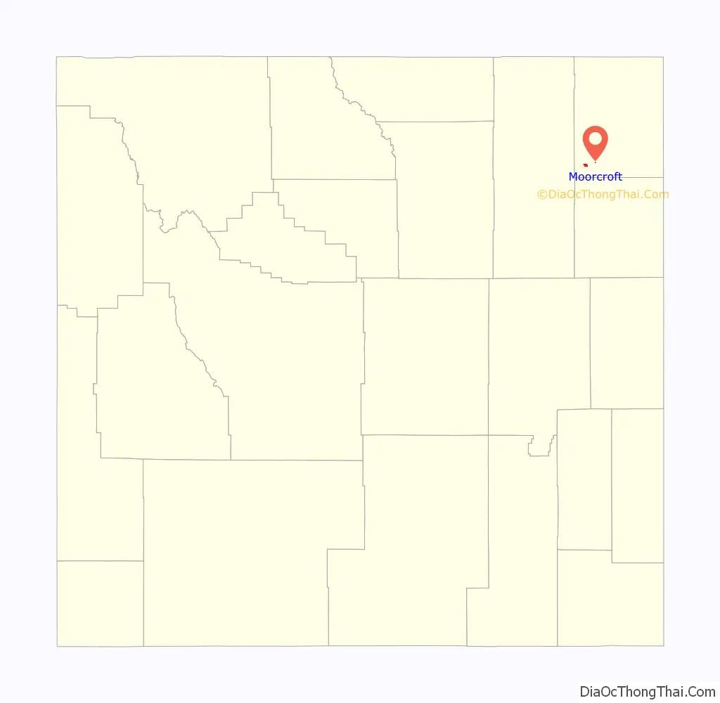
Online Interactive Map
Click on ![]() to view map in "full screen" mode.
to view map in "full screen" mode.
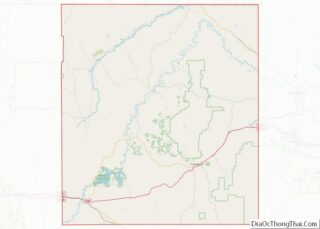
Moorcroft location map. Where is Moorcroft town?
History
Moorcroft was incorporated on October 2, 1906. The exact meaning of Moorcroft is unknown but over the years has several suggested origins for the name. The town was named in 1876 after Alexander Moorcroft, an early settler from Northern England who built a cabin in the Black Hills of Wyoming. The name Moorcroft was chosen by the community’s first postman Stocks Millar (1858-1890) after his home town in Scotland.
A local establishment, Dewey’s Place, is a venue for the wintertime sport of chicken-roping. Based on rodeo calf-roping small cords are used in an indoor arena to lasso chicken. Cash and other prizes are awarded.
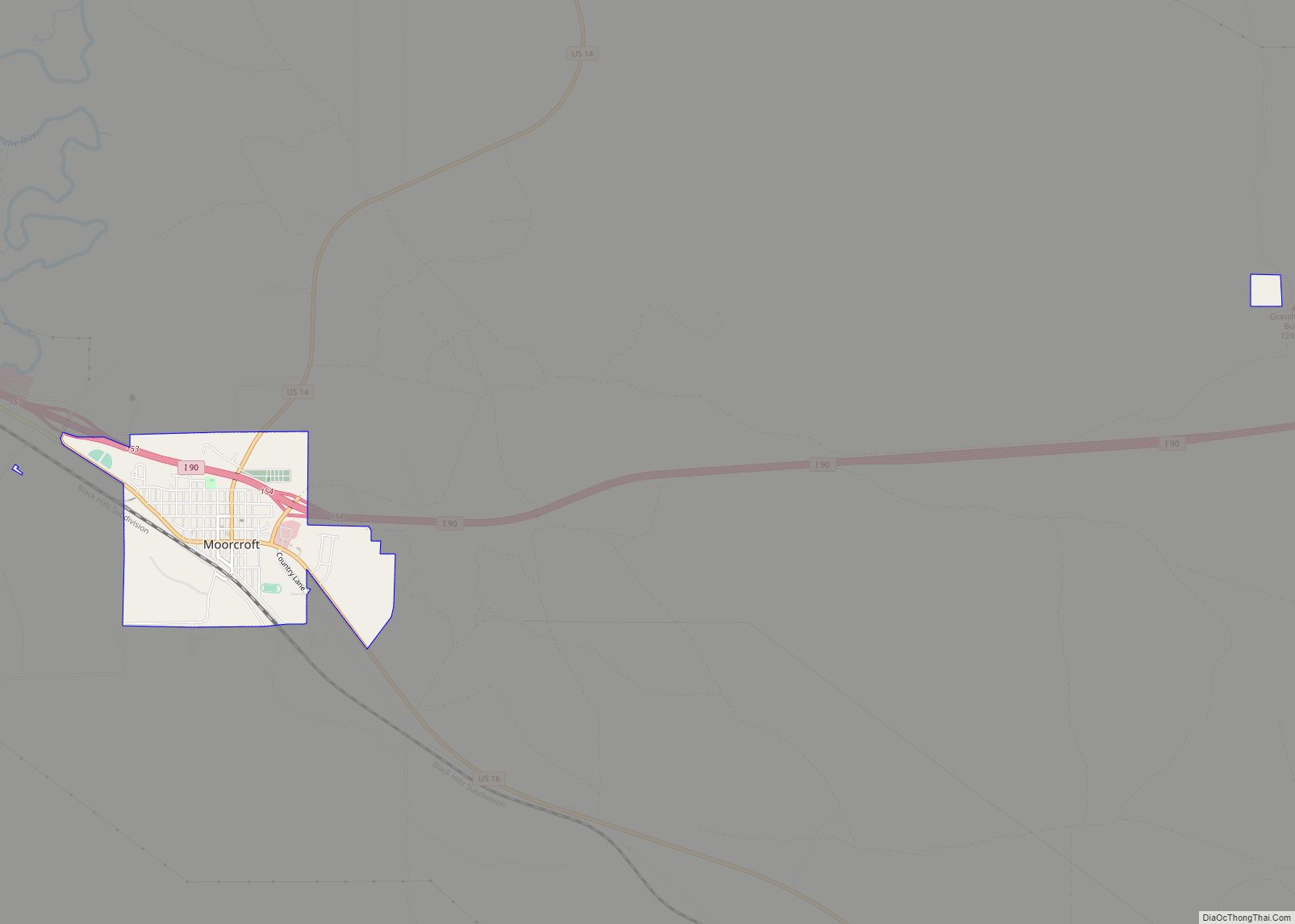
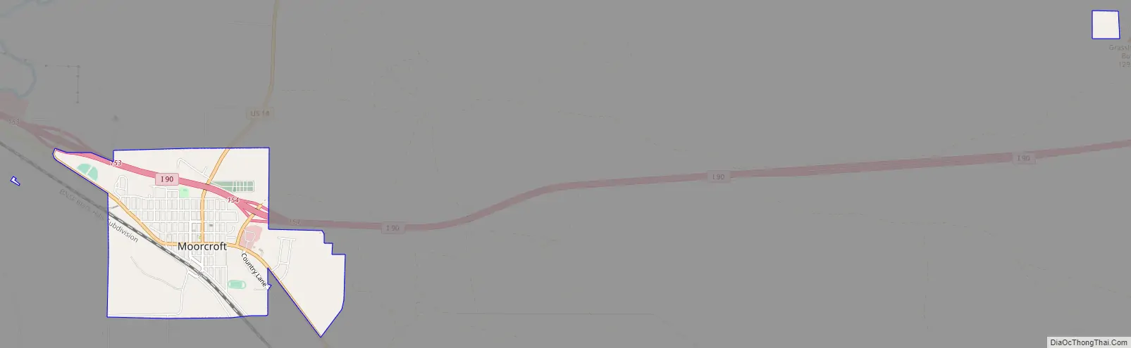
Moorcroft Road Map
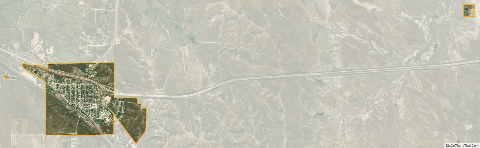
Moorcroft city Satellite Map
Geography
According to the United States Census Bureau, the town has a total area of 1.26 square miles (3.26 km), all land.
Climate
See also
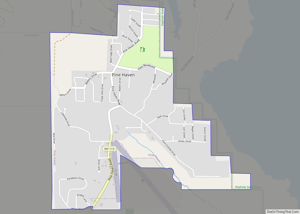
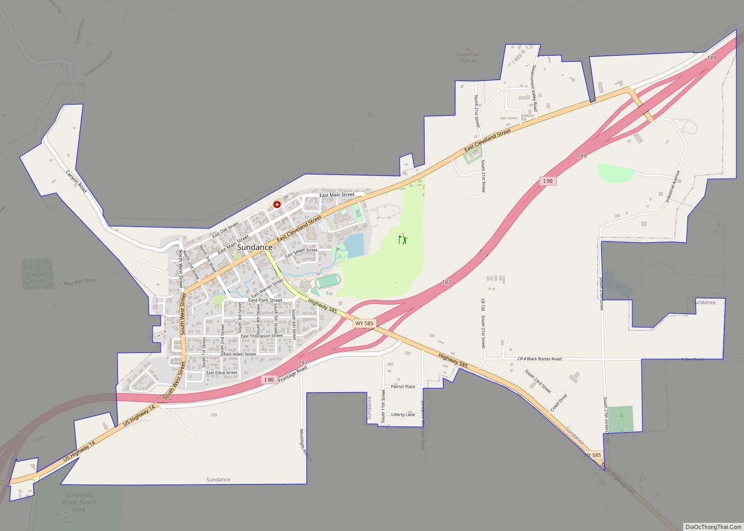
Map of Wyoming State and its subdivision: Map of other states:- Alabama
- Alaska
- Arizona
- Arkansas
- California
- Colorado
- Connecticut
- Delaware
- District of Columbia
- Florida
- Georgia
- Hawaii
- Idaho
- Illinois
- Indiana
- Iowa
- Kansas
- Kentucky
- Louisiana
- Maine
- Maryland
- Massachusetts
- Michigan
- Minnesota
- Mississippi
- Missouri
- Montana
- Nebraska
- Nevada
- New Hampshire
- New Jersey
- New Mexico
- New York
- North Carolina
- North Dakota
- Ohio
- Oklahoma
- Oregon
- Pennsylvania
- Rhode Island
- South Carolina
- South Dakota
- Tennessee
- Texas
- Utah
- Vermont
- Virginia
- Washington
- West Virginia
- Wisconsin
- Wyoming