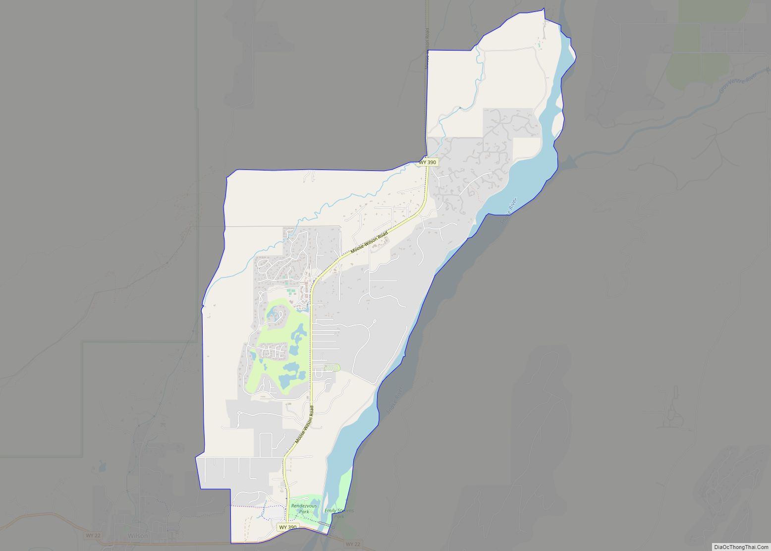
Moose Wilson Road is a census-designated place (CDP) in Teton County, Wyoming, United States. The population was 1,821 at the 2010 census. It is part of the Jackson, WY–ID Micropolitan Statistical Area.
| Name: | Moose Wilson Road CDP |
|---|---|
| LSAD Code: | 57 |
| LSAD Description: | CDP (suffix) |
| State: | Wyoming |
| County: | Teton County |
| Elevation: | 6,194 ft (1,888 m) |
| Total Area: | 6.98 sq mi (18.1 km²) |
| Land Area: | 6.7 sq mi (17 km²) |
| Water Area: | 0.28 sq mi (0.7 km²) |
| Total Population: | 1,821 |
| Population Density: | 260/sq mi (100/km²) |
| Area code: | 307 |
| FIPS code: | 5654402 |
| GNISfeature ID: | 1853207 |
Online Interactive Map
Click on ![]() to view map in "full screen" mode.
to view map in "full screen" mode.
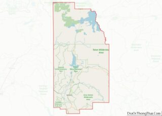
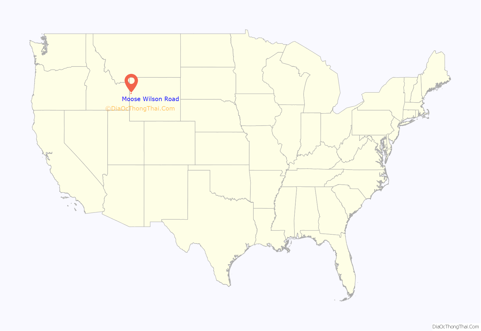
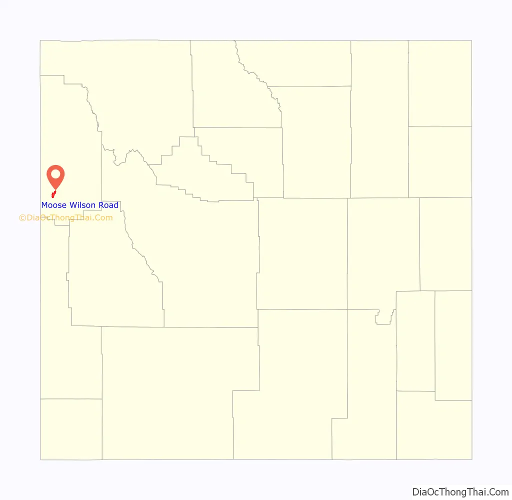
Moose Wilson Road location map. Where is Moose Wilson Road CDP?
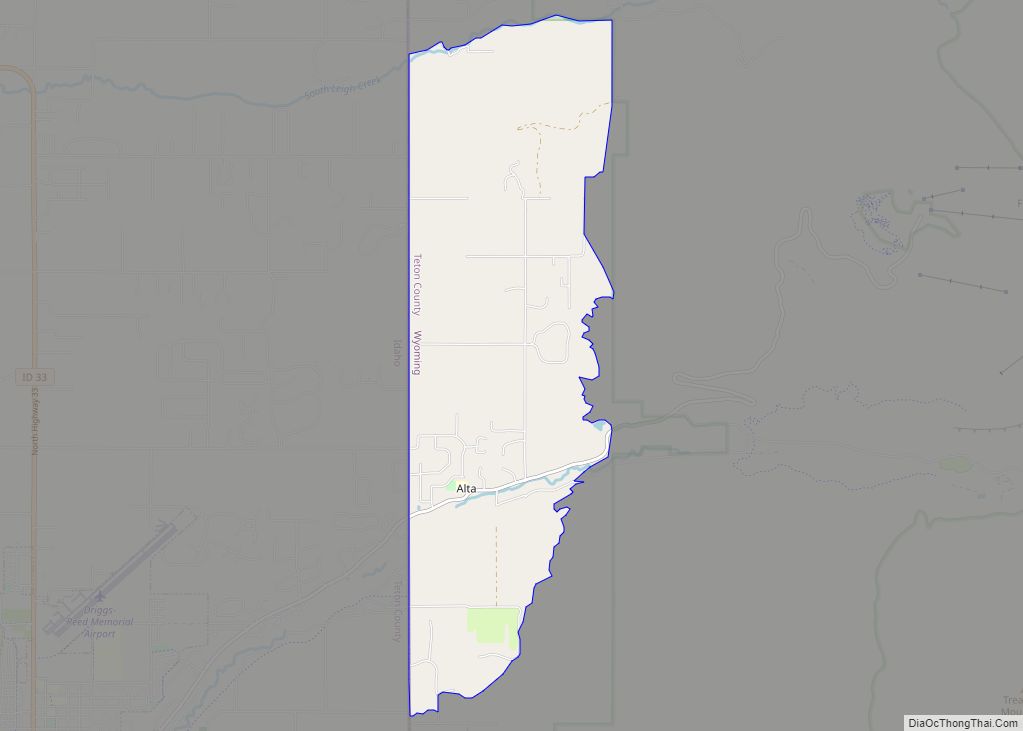
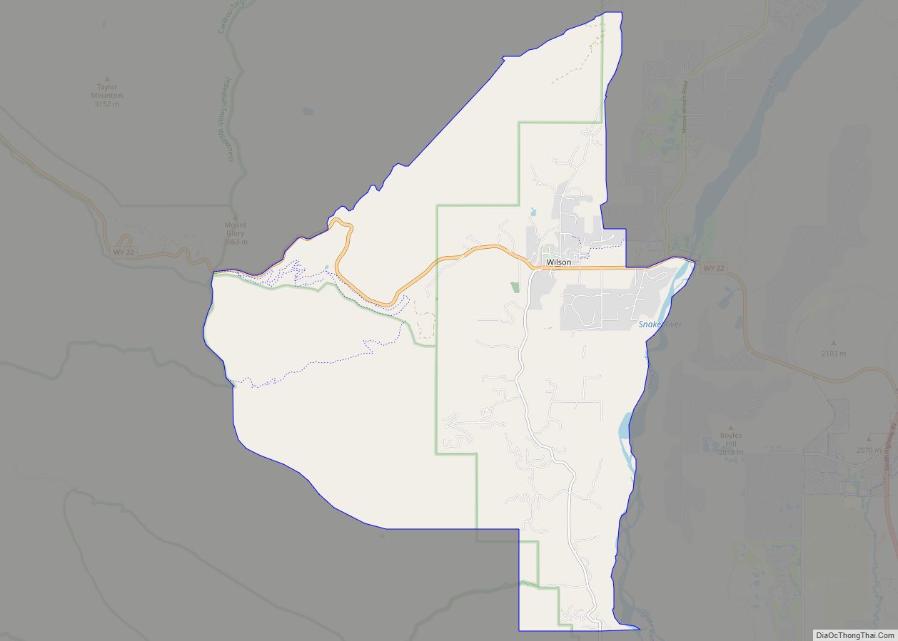
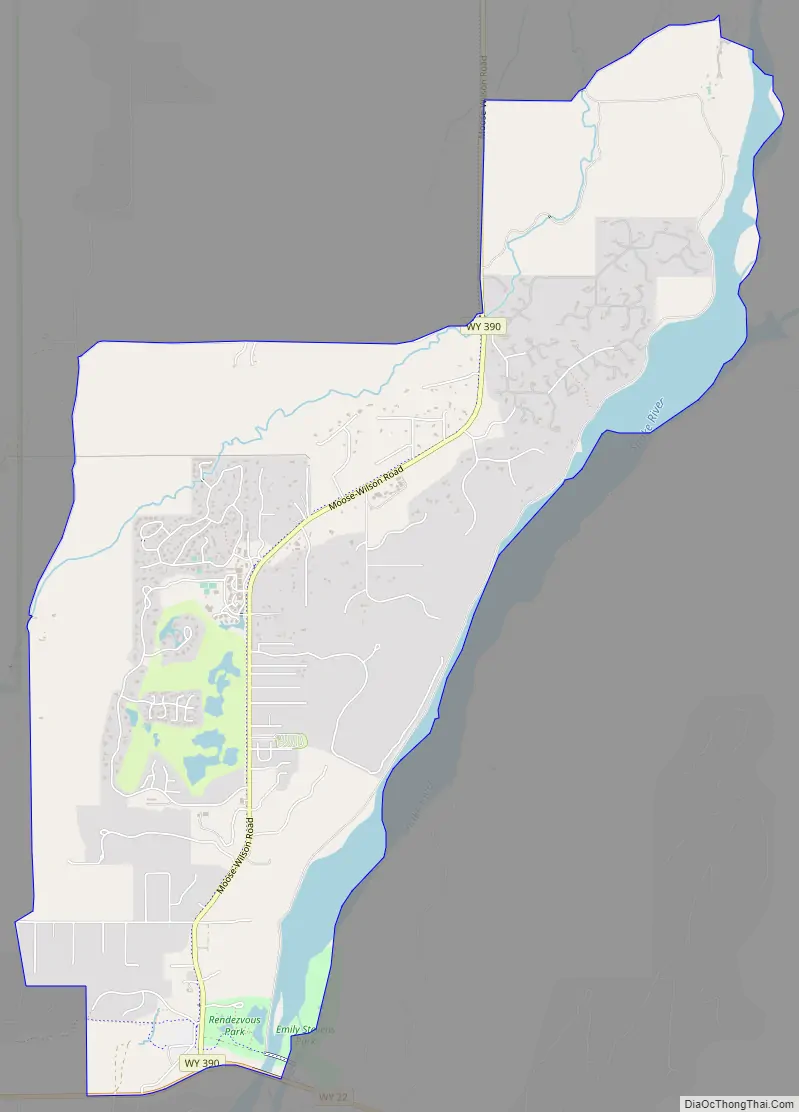
Moose Wilson Road Road Map
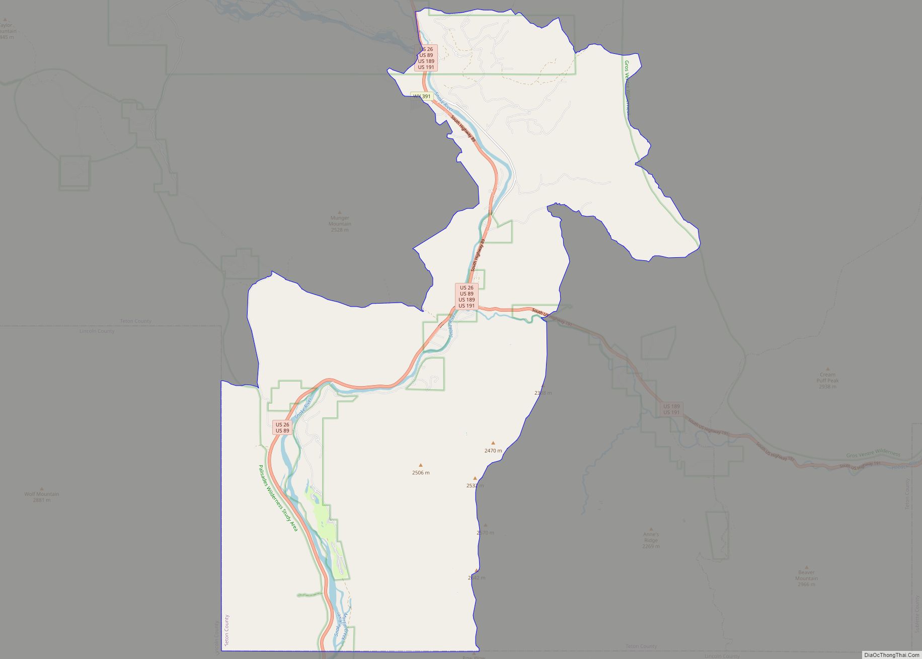
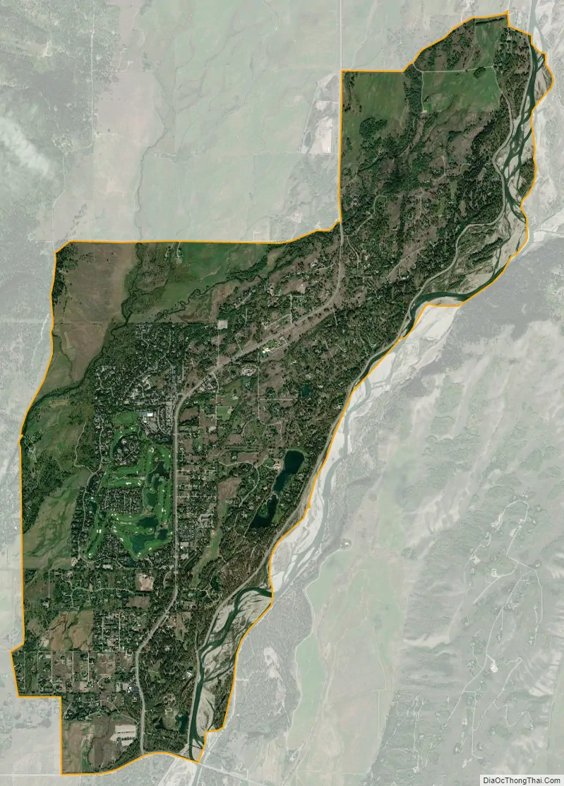
Moose Wilson Road city Satellite Map
Geography
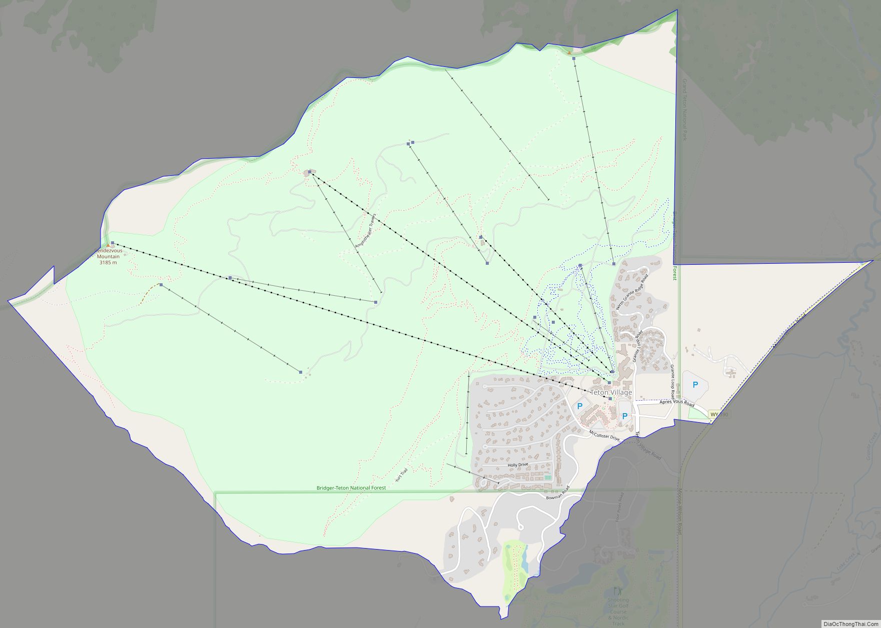
The Moose Wilson Road CDP has a southern boundary near 43°31′44″N 110°50′33″W / 43.52889°N 110.84250°W / 43.52889; -110.84250 (43.528914, -110.842392). It includes the Moose Wilson Road, the area around the Moose post office, private inholdings on the east side of the Snake River, and extends as far north as Shadow Mountain.
See also
Map of Wyoming State and its subdivision: Map of other states:- Alabama
- Alaska
- Arizona
- Arkansas
- California
- Colorado
- Connecticut
- Delaware
- District of Columbia
- Florida
- Georgia
- Hawaii
- Idaho
- Illinois
- Indiana
- Iowa
- Kansas
- Kentucky
- Louisiana
- Maine
- Maryland
- Massachusetts
- Michigan
- Minnesota
- Mississippi
- Missouri
- Montana
- Nebraska
- Nevada
- New Hampshire
- New Jersey
- New Mexico
- New York
- North Carolina
- North Dakota
- Ohio
- Oklahoma
- Oregon
- Pennsylvania
- Rhode Island
- South Carolina
- South Dakota
- Tennessee
- Texas
- Utah
- Vermont
- Virginia
- Washington
- West Virginia
- Wisconsin
- Wyoming