Pavillion is a town in Fremont County, Wyoming, United States. The population was 231 at the 2010 census.
| Name: | Pavillion town |
|---|---|
| LSAD Code: | 43 |
| LSAD Description: | town (suffix) |
| State: | Wyoming |
| County: | Fremont County |
| Elevation: | 5,463 ft (1,665 m) |
| Total Area: | 0.20 sq mi (0.52 km²) |
| Land Area: | 0.20 sq mi (0.52 km²) |
| Water Area: | 0.00 sq mi (0.00 km²) |
| Total Population: | 231 |
| Population Density: | 1,144.28/sq mi (441.16/km²) |
| ZIP code: | 82523 |
| Area code: | 307 |
| FIPS code: | 5660130 |
| GNISfeature ID: | 1592630 |
Online Interactive Map
Click on ![]() to view map in "full screen" mode.
to view map in "full screen" mode.
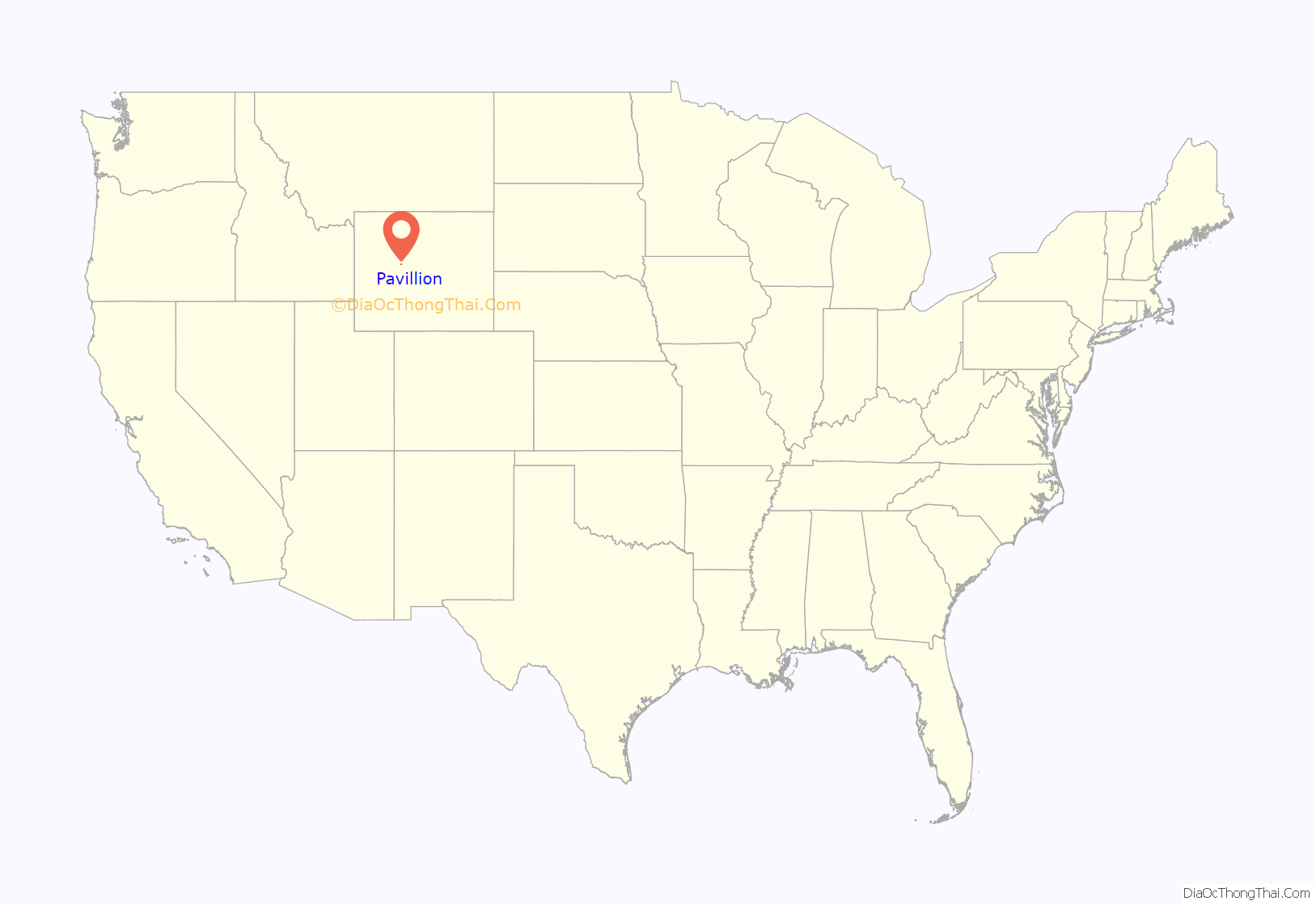
Pavillion location map. Where is Pavillion town?
History
Fracking and water quality
In 2008, rural residents five miles east-northeast of Pavillion complained of discolored water, foul smells and illness that they suspected was due to fracking, and the EPA opened an investigation. In 2010, the EPA investigators warned the affected rural residents not to drink their water after finding benzene, naphthalene, phenols, and metals in the water and recommended that the affected rural residents use fans while bathing or washing clothes to avoid the risk of explosion. As of September 2012 testing and discussion about the results was still ongoing. Eventually, in 2016, a study confirmed that chemicals used in fracking impact drinking water that is generated from wells.
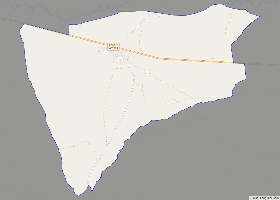
Pavillion Road Map
Pavillion city Satellite Map
Geography
According to the United States Census Bureau, the town has a total area of 0.21 square miles (0.54 km), all land.
Climate
According to the Köppen Climate Classification system, Pavillion has a cold semi-arid climate, abbreviated “BSk” on climate maps. The hottest temperature recorded in Pavillion was 102 °F (39 °C) on June 29, 1919, while the coldest temperature recorded was −42 °F (−41 °C) on December 19, 1924.
See also
Map of Wyoming State and its subdivision: Map of other states:- Alabama
- Alaska
- Arizona
- Arkansas
- California
- Colorado
- Connecticut
- Delaware
- District of Columbia
- Florida
- Georgia
- Hawaii
- Idaho
- Illinois
- Indiana
- Iowa
- Kansas
- Kentucky
- Louisiana
- Maine
- Maryland
- Massachusetts
- Michigan
- Minnesota
- Mississippi
- Missouri
- Montana
- Nebraska
- Nevada
- New Hampshire
- New Jersey
- New Mexico
- New York
- North Carolina
- North Dakota
- Ohio
- Oklahoma
- Oregon
- Pennsylvania
- Rhode Island
- South Carolina
- South Dakota
- Tennessee
- Texas
- Utah
- Vermont
- Virginia
- Washington
- West Virginia
- Wisconsin
- Wyoming
