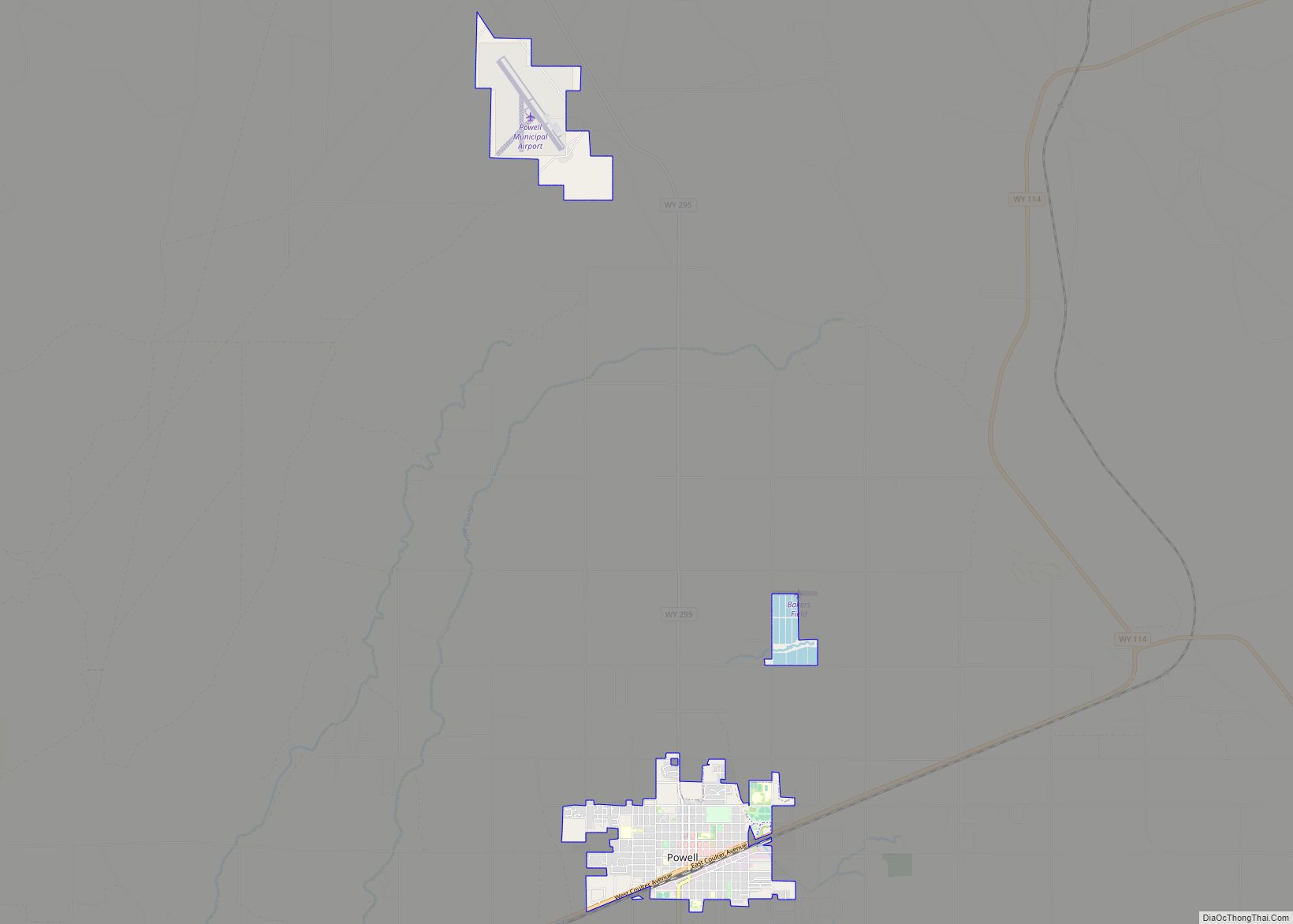
Powell (/pæl/) is a city in Park County, Wyoming, United States. The population was 6,314 at the 2010 census. Powell is an All-America City and home to Northwest College.
| Name: | Powell city |
|---|---|
| LSAD Code: | 25 |
| LSAD Description: | city (suffix) |
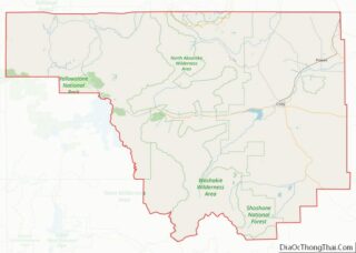
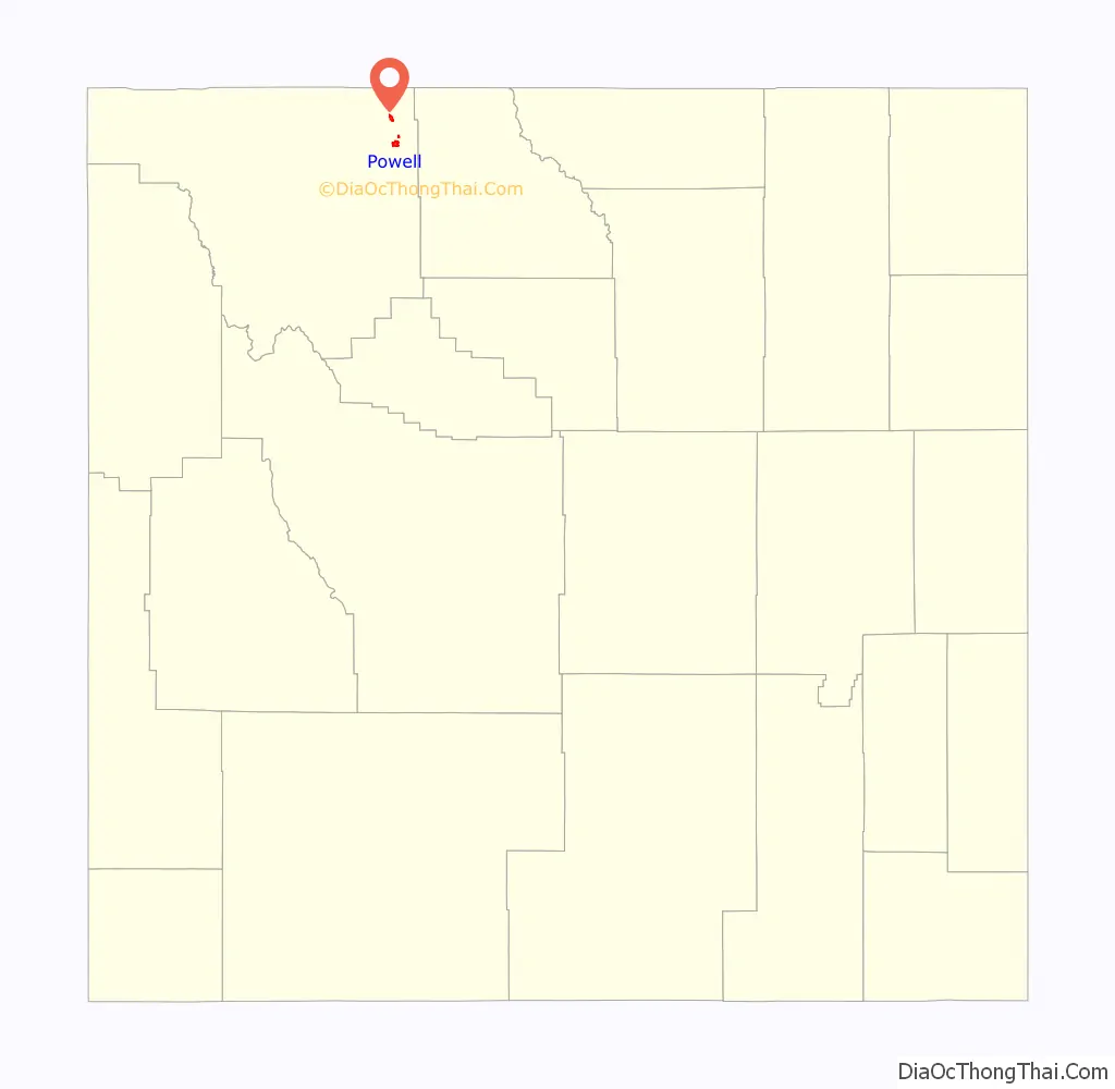
| State: | Wyoming |
| County: | Park County |
| Elevation: | 4,393 ft (1,339 m) |
| Total Area: | 4.29 sq mi (11.11 km²) |
| Land Area: | 4.29 sq mi (11.11 km²) |
| Water Area: | 0.00 sq mi (0.00 km²) |
| Total Population: | 6,314 |
| Population Density: | 1,440.56/sq mi (556.27/km²) |
| ZIP code: | 82435 |
| Area code: | 307 |
| FIPS code: | 5662450 |
| GNISfeature ID: | 1609143 |
Online Interactive Map
Click on ![]() to view map in "full screen" mode.
to view map in "full screen" mode.
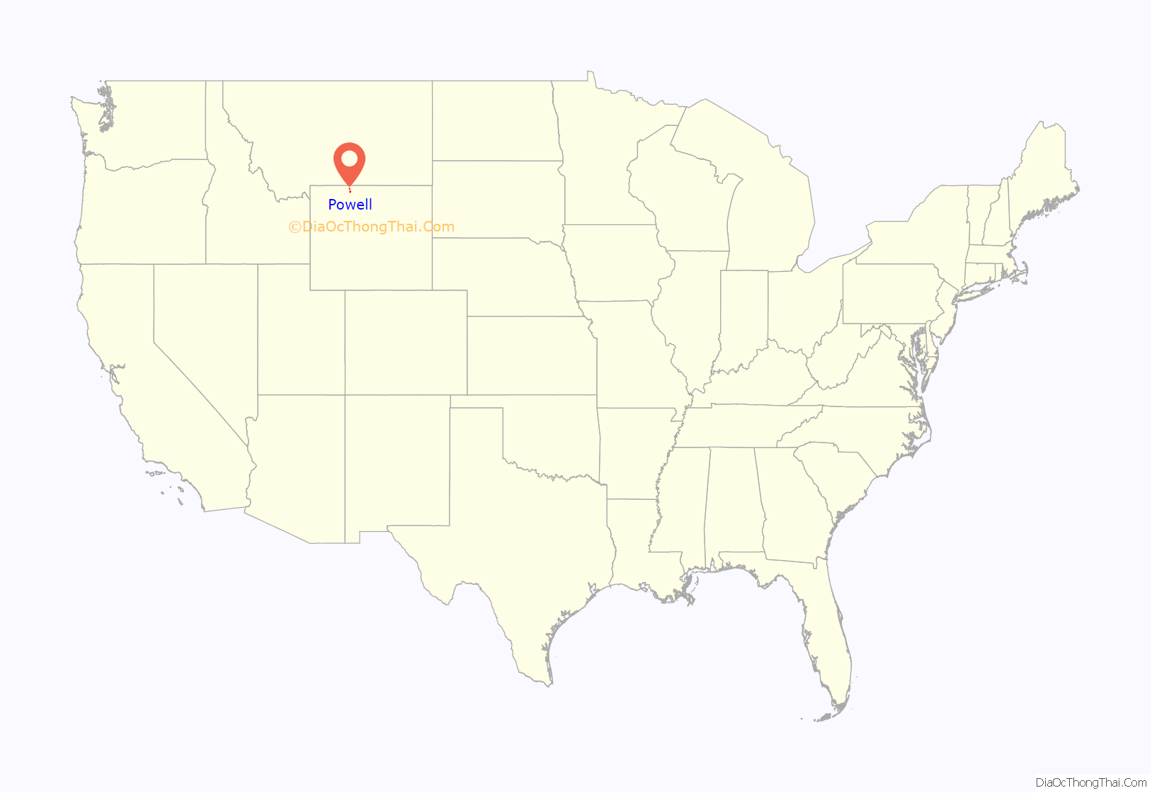
Powell location map. Where is Powell city?
History
Powell was incorporated in 1909. Powell was named for John Wesley Powell, U.S. soldier, geologist and explorer. Powell post office was established January 23, 1908.
In 2013, the area was the subject of a piece of national legislation. The Powell Shooting Range Land Conveyance Act (S. 130; 113th Congress), which was passed by both the United States Senate and the United States House of Representatives, would transfer a piece of land from the Bureau of Land Management to the Powell Recreation District for continued use as a shooting range.
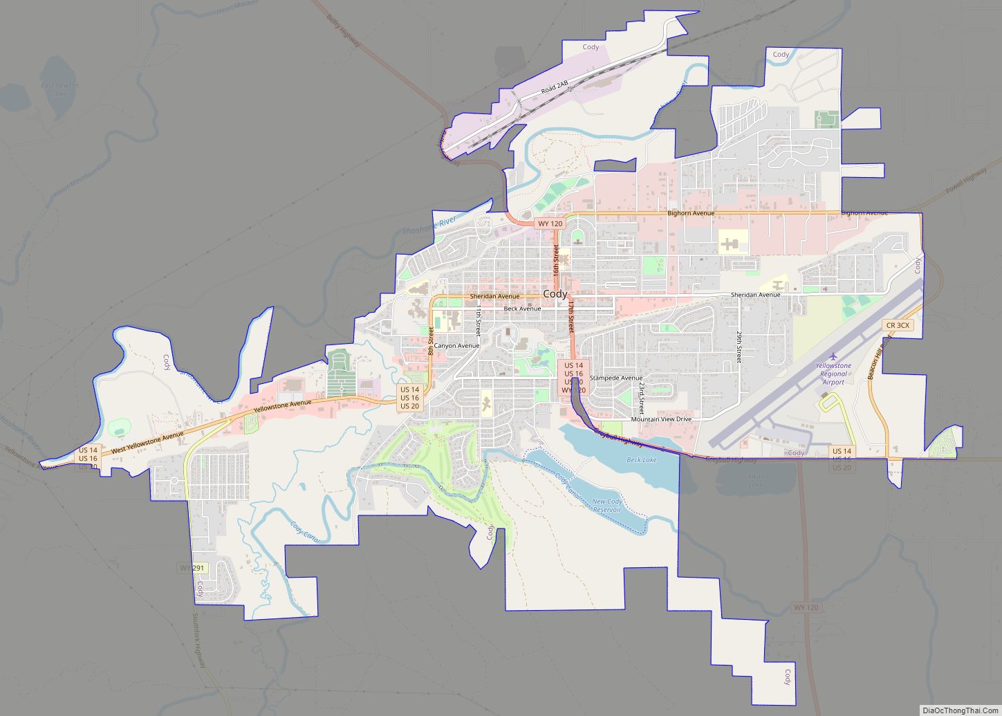
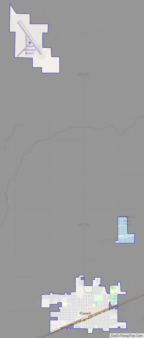
Powell Road Map
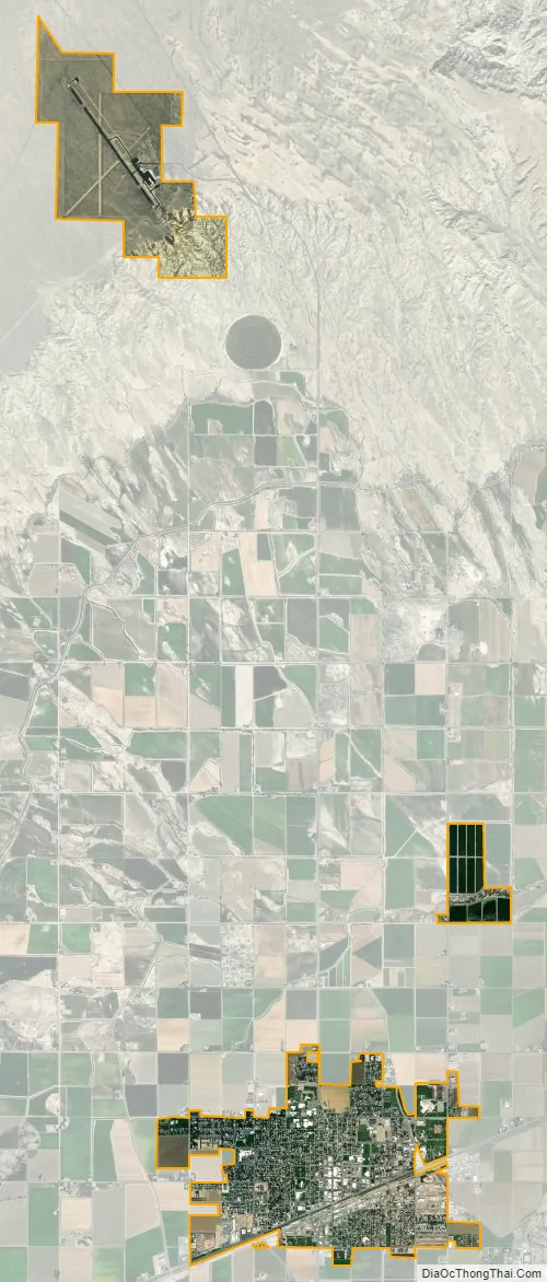
Powell city Satellite Map
Geography
According to the United States Census Bureau, the city has a total area of 4.25 square miles (11.01 km), all land.
See also
Map of Wyoming State and its subdivision: Map of other states:- Alabama
- Alaska
- Arizona
- Arkansas
- California
- Colorado
- Connecticut
- Delaware
- District of Columbia
- Florida
- Georgia
- Hawaii
- Idaho
- Illinois
- Indiana
- Iowa
- Kansas
- Kentucky
- Louisiana
- Maine
- Maryland
- Massachusetts
- Michigan
- Minnesota
- Mississippi
- Missouri
- Montana
- Nebraska
- Nevada
- New Hampshire
- New Jersey
- New Mexico
- New York
- North Carolina
- North Dakota
- Ohio
- Oklahoma
- Oregon
- Pennsylvania
- Rhode Island
- South Carolina
- South Dakota
- Tennessee
- Texas
- Utah
- Vermont
- Virginia
- Washington
- West Virginia
- Wisconsin
- Wyoming