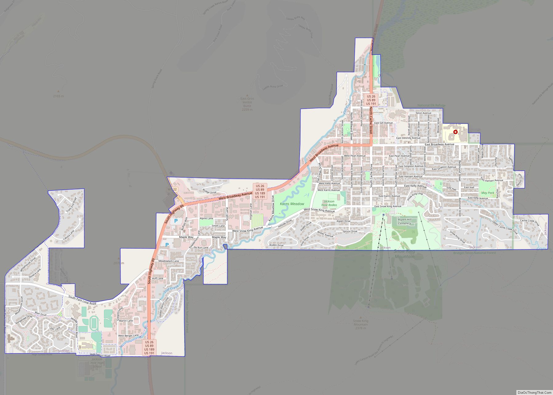
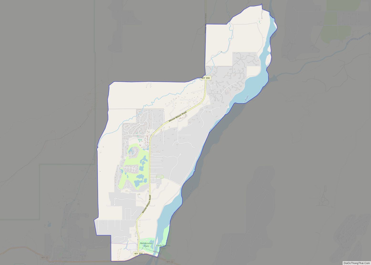
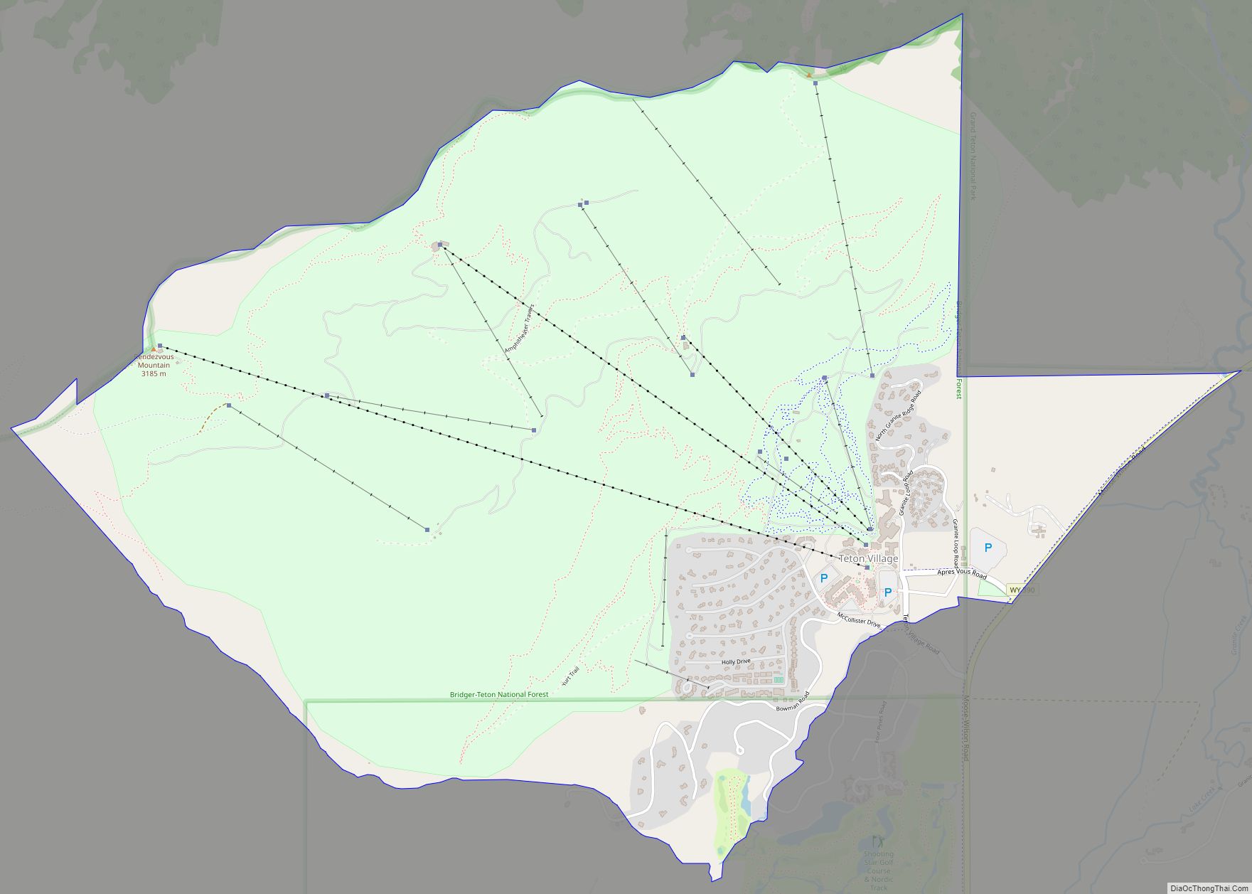
Teton Village is a census-designated place (CDP) in Teton County, Wyoming, United States. The population was 330 at the 2010 census. The village surrounds the base of the Jackson Hole Mountain Resort. It is accessed from nearby Jackson and the surrounding area via the Moose-Wilson Road (Wyoming highway 390).
Teton Village is part of the Jackson micropolitan area.
| Name: | Teton Village CDP |
|---|---|
| LSAD Code: | 57 |
| LSAD Description: | CDP (suffix) |
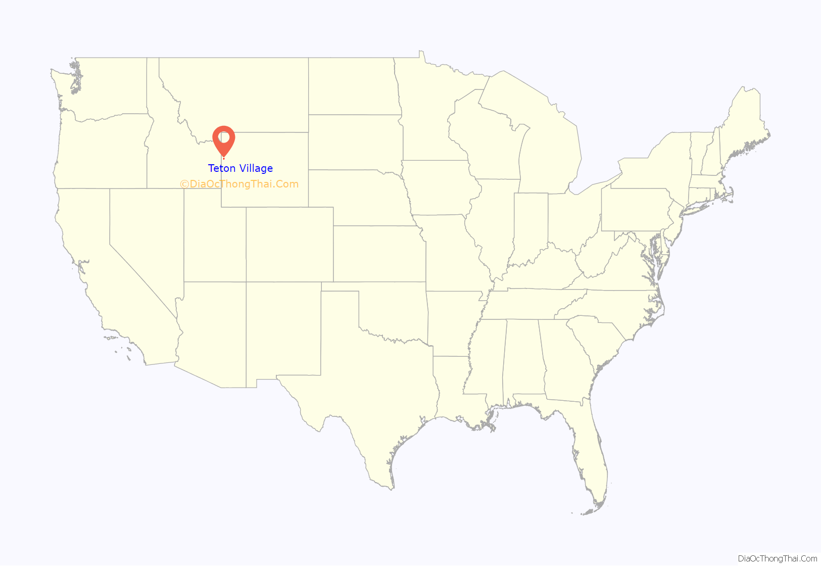
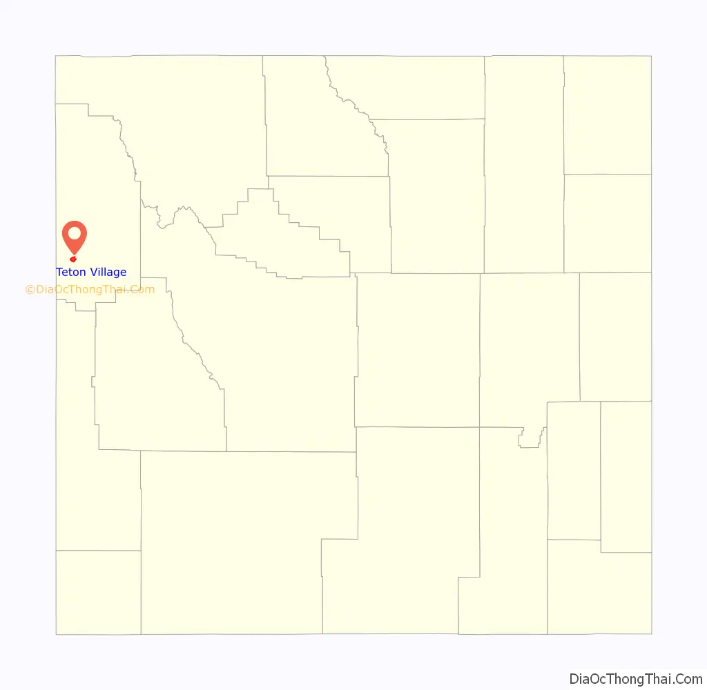
| State: | Wyoming |
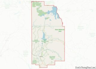
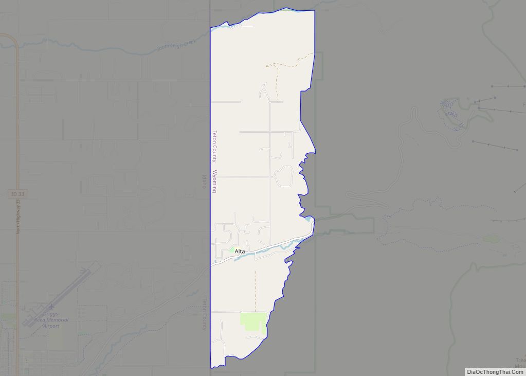
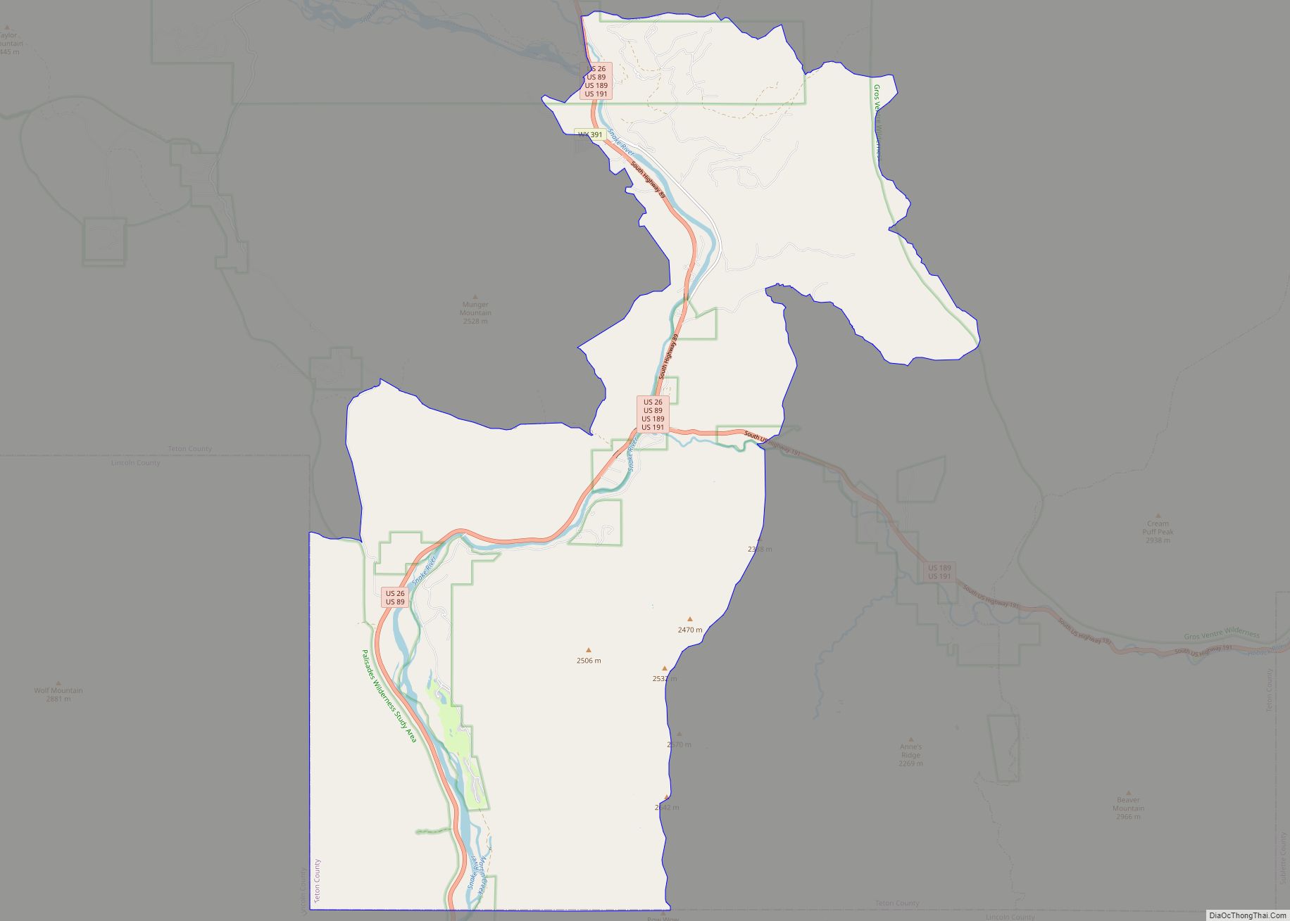
| County: | Teton County |
| Elevation: | 6,329 ft (1,929 m) |
| Total Area: | 5.0 sq mi (13.0 km²) |
| Land Area: | 5.0 sq mi (13.0 km²) |
| Water Area: | 0.0 sq mi (0.0 km²) |
| Total Population: | 330 |
| Population Density: | 66/sq mi (25/km²) |
| ZIP code: | 83025 |
| Area code: | 307 |
| FIPS code: | 5675935 |
| GNISfeature ID: | 1603585 |
Online Interactive Map
Click on ![]() to view map in "full screen" mode.
to view map in "full screen" mode.
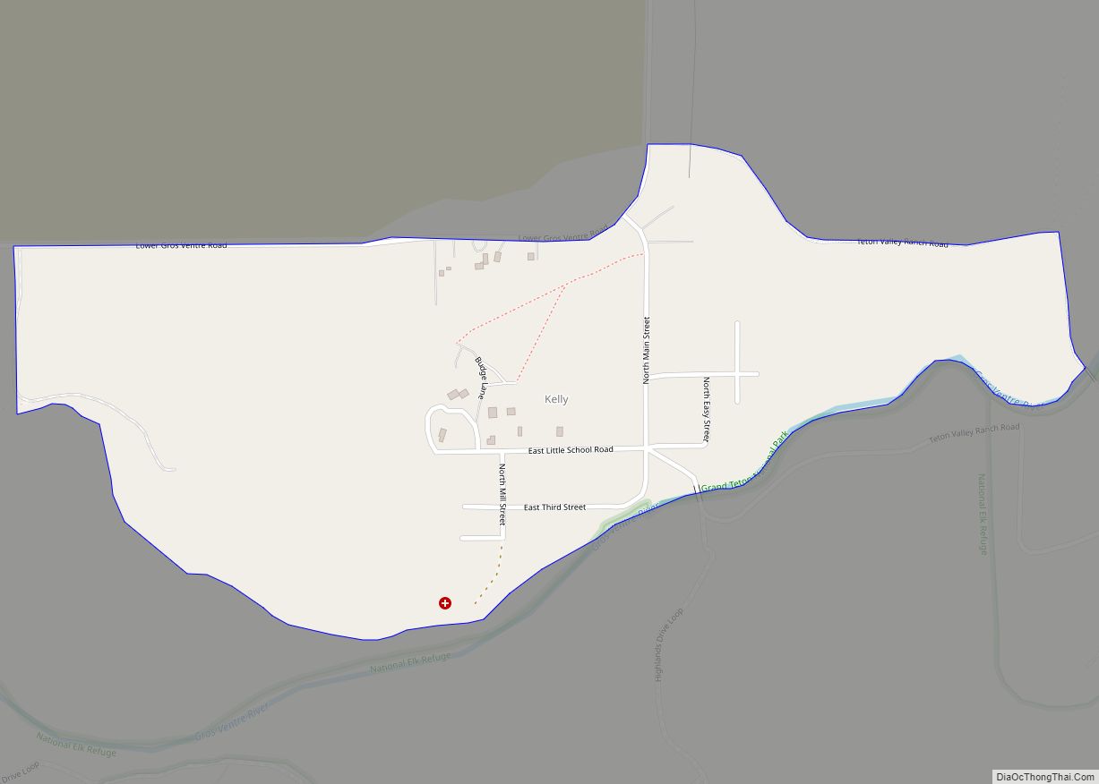
Teton Village location map. Where is Teton Village CDP?
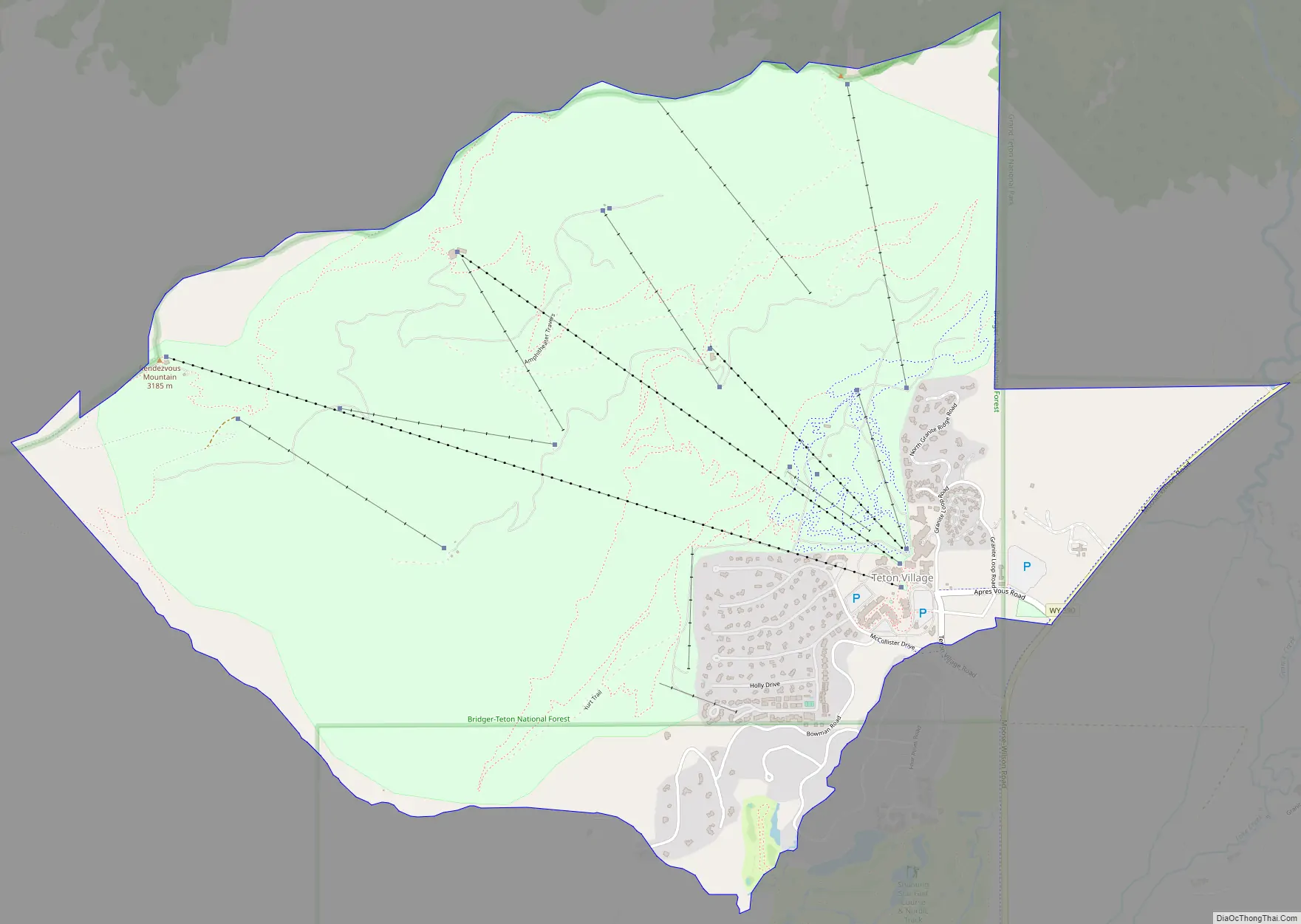
Teton Village Road Map
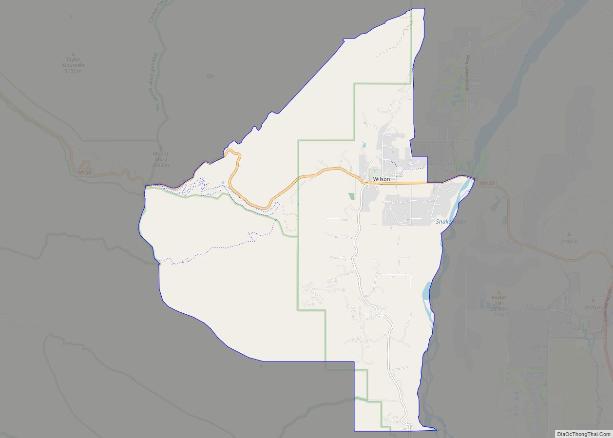
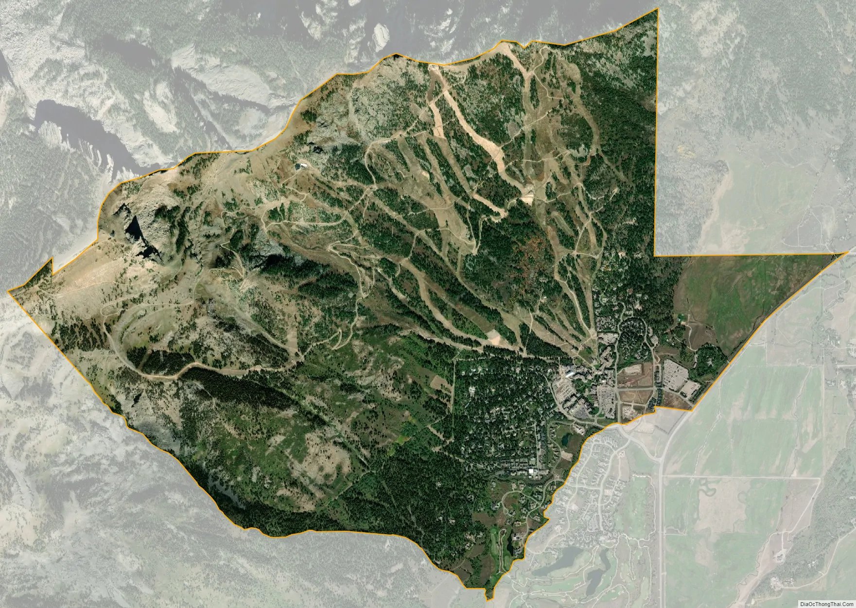
Teton Village city Satellite Map
Geography
Teton Village is located at 43°35′11″N 110°49′36″W / 43.58639°N 110.82667°W / 43.58639; -110.82667 (43.586405, -110.826729).
According to the United States Census Bureau, the CDP has a total area of 5.0 square miles (13.0 km), all land.
See also
Map of Wyoming State and its subdivision: Map of other states:- Alabama
- Alaska
- Arizona
- Arkansas
- California
- Colorado
- Connecticut
- Delaware
- District of Columbia
- Florida
- Georgia
- Hawaii
- Idaho
- Illinois
- Indiana
- Iowa
- Kansas
- Kentucky
- Louisiana
- Maine
- Maryland
- Massachusetts
- Michigan
- Minnesota
- Mississippi
- Missouri
- Montana
- Nebraska
- Nevada
- New Hampshire
- New Jersey
- New Mexico
- New York
- North Carolina
- North Dakota
- Ohio
- Oklahoma
- Oregon
- Pennsylvania
- Rhode Island
- South Carolina
- South Dakota
- Tennessee
- Texas
- Utah
- Vermont
- Virginia
- Washington
- West Virginia
- Wisconsin
- Wyoming