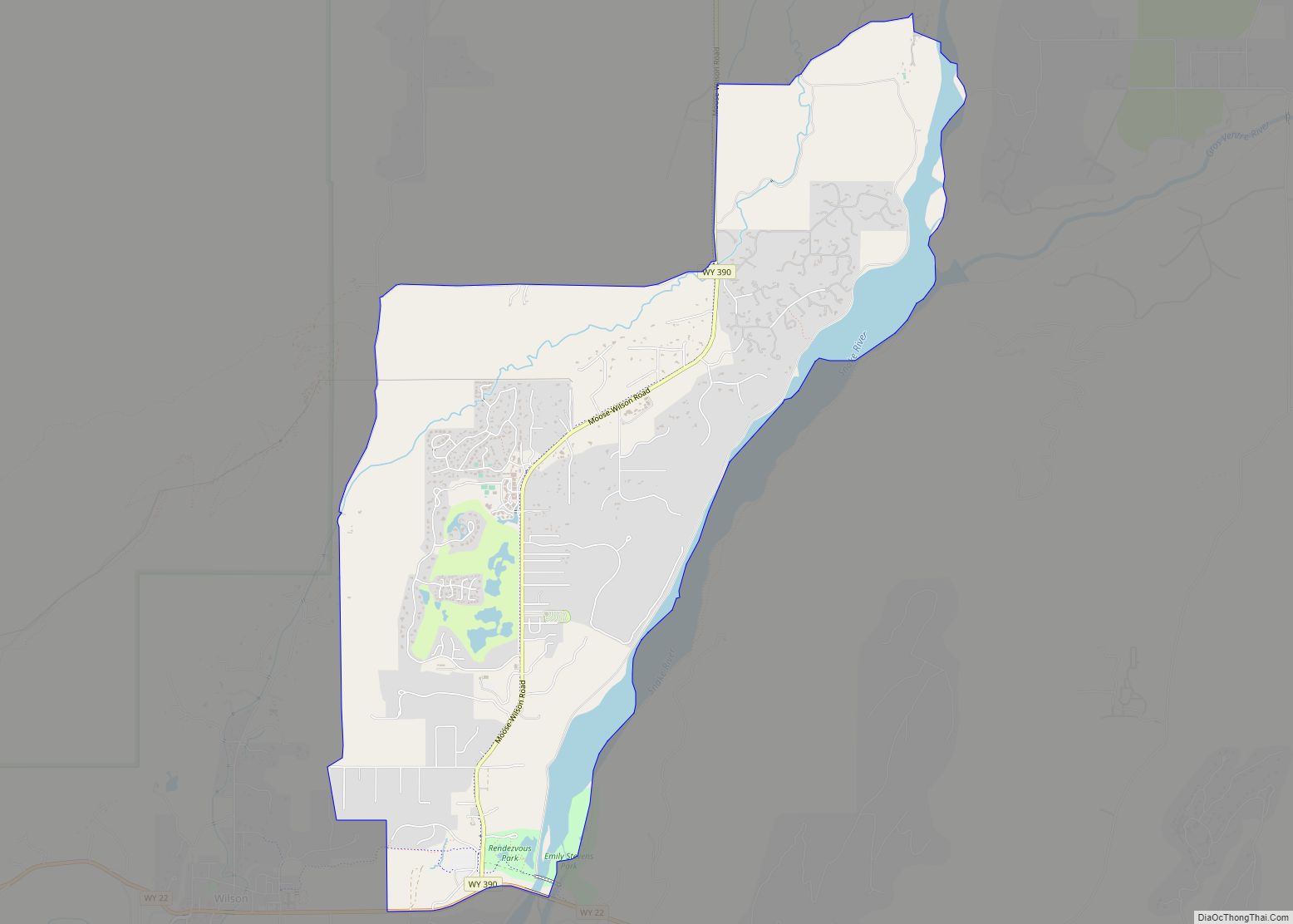
Wilson is a census-designated place (CDP) in Teton County, Wyoming, United States. The population was 1,567 at the 2020 census, up from 1,482 in 2010. It is part of the Jackson, WY–ID Micropolitan Statistical Area.
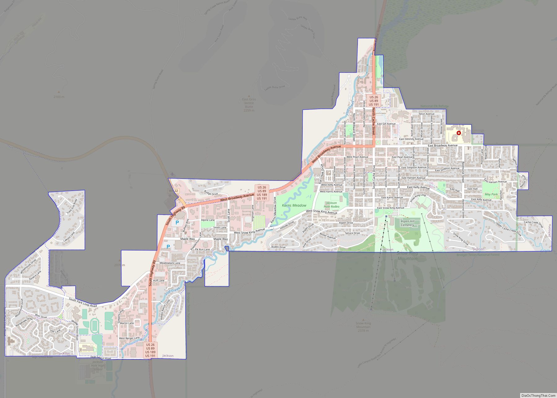
Wilson was pioneered in 1889 by Elijah Nicholas Wilson, known for having lived with the Shoshone Indians as a boy in the 1850s. His book, The White Indian Boy, describes his experiences, including his time as a rider for the Pony Express. The town was later named in his honor. It sits at the base of Teton Pass, just northwest of Jackson on State Highway 22.
| Name: | Wilson CDP |
|---|---|
| LSAD Code: | 57 |
| LSAD Description: | CDP (suffix) |
| State: | Wyoming |
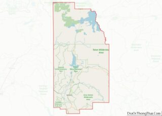
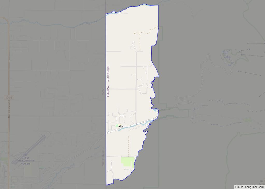
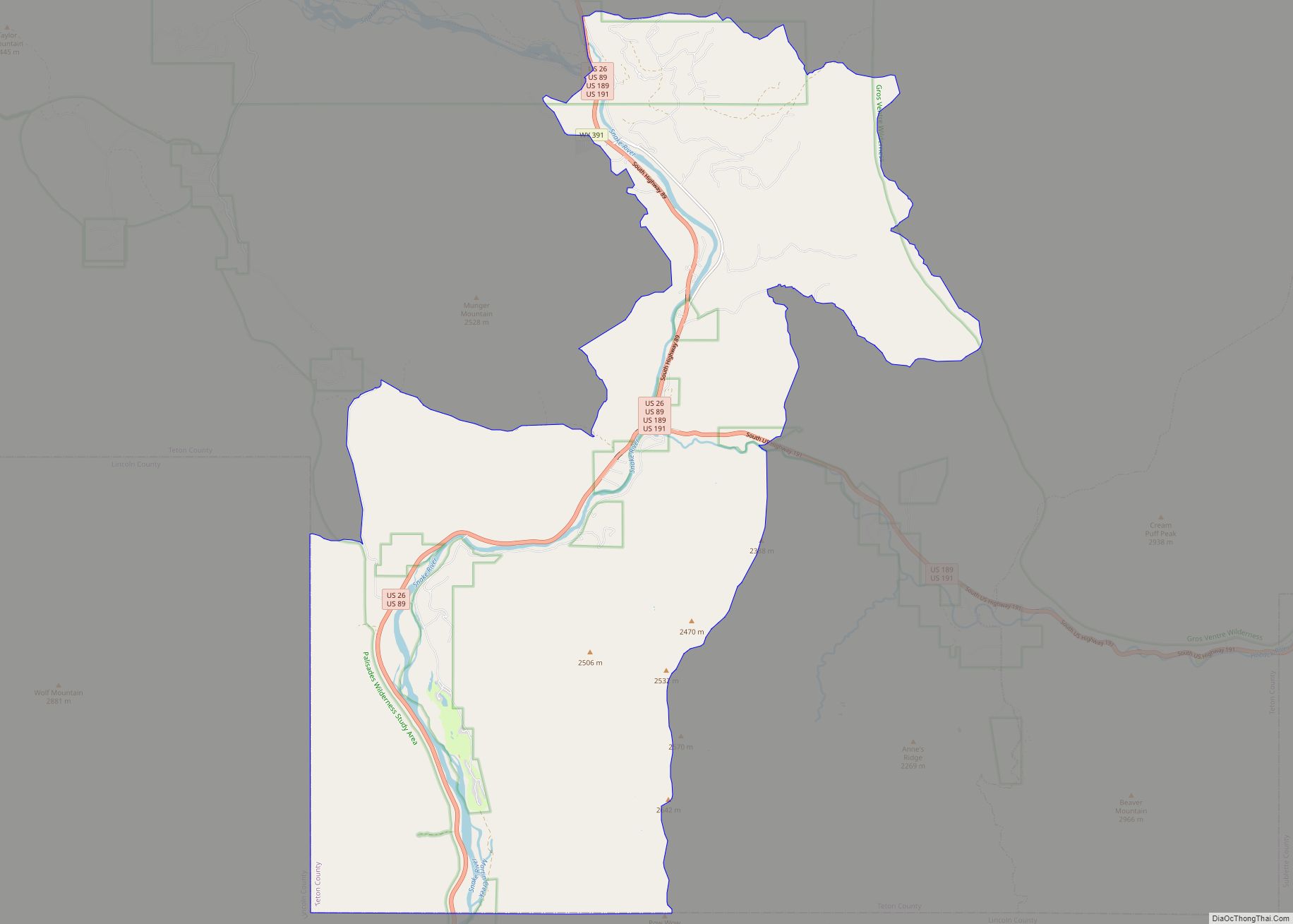
| County: | Teton County |
| Elevation: | 6,148 ft (1,874 m) |
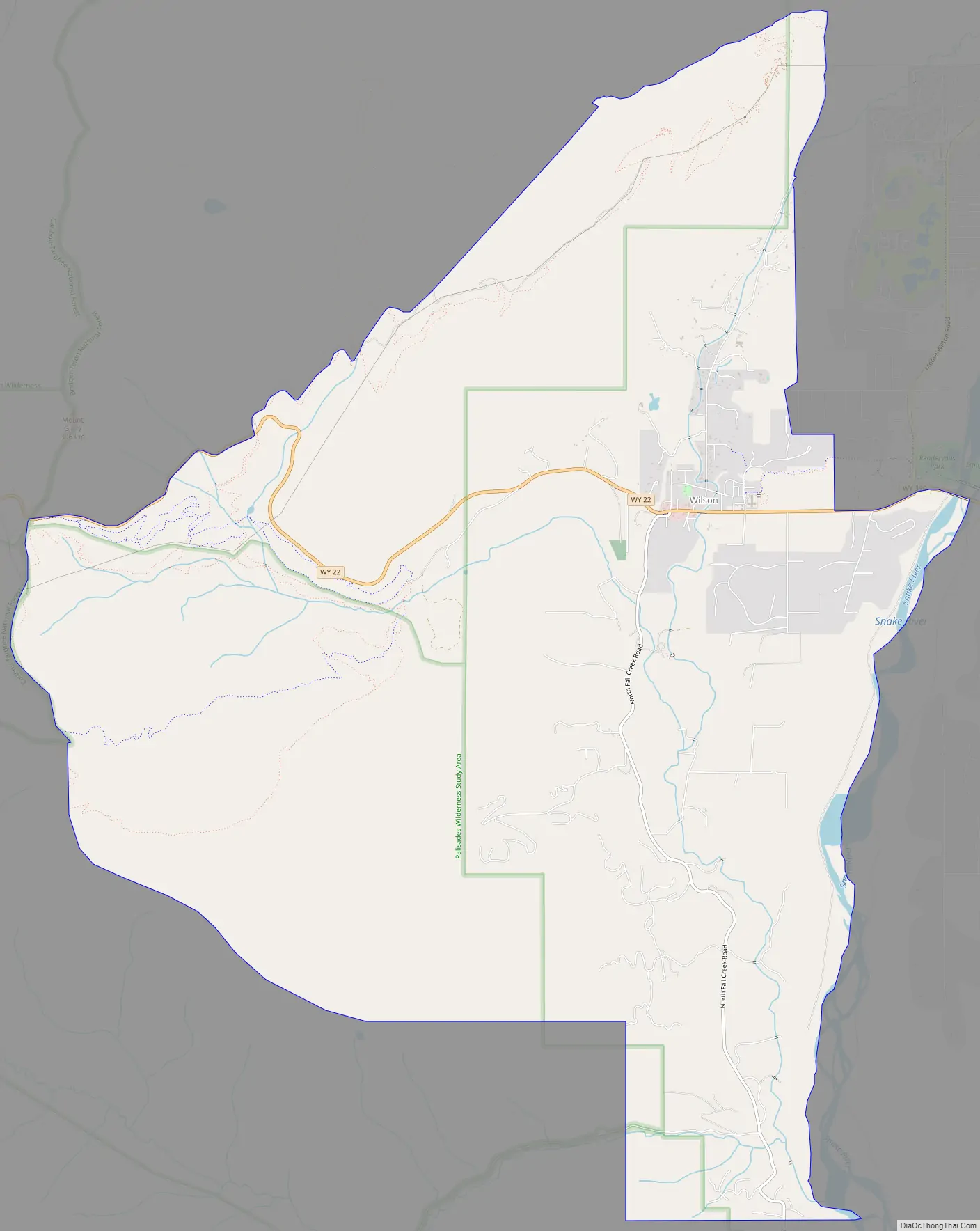
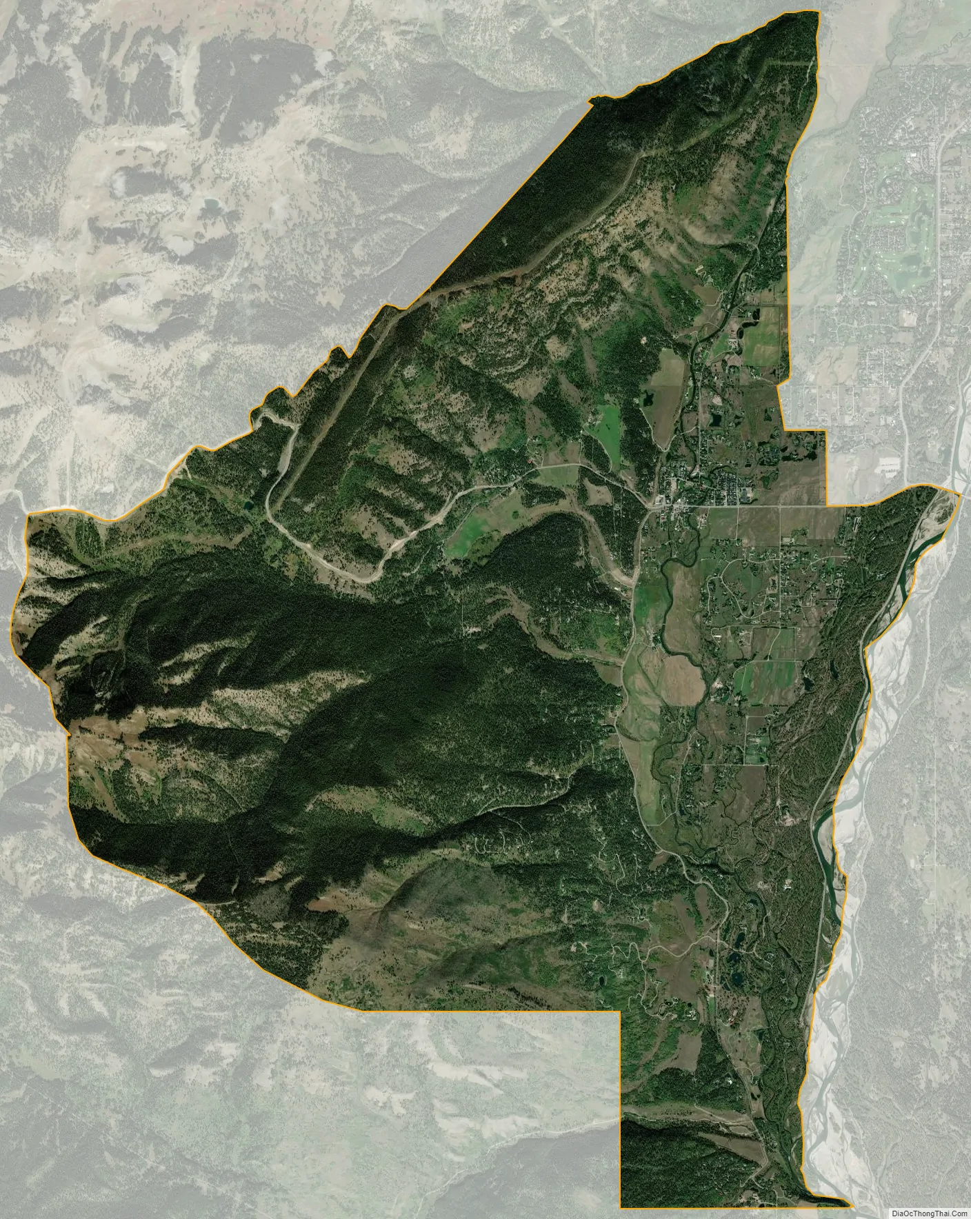
| Total Area: | 23.44 sq mi (60.7 km²) |
| Land Area: | 22.96 sq mi (59.5 km²) |
| Water Area: | 0.48 sq mi (1.2 km²) |
| Total Population: | 1,567 |
| Population Density: | 67/sq mi (26/km²) |
| ZIP code: | 83014 |
| Area code: | 307 |
| FIPS code: | 5683765 |
| GNISfeature ID: | 1604543 |
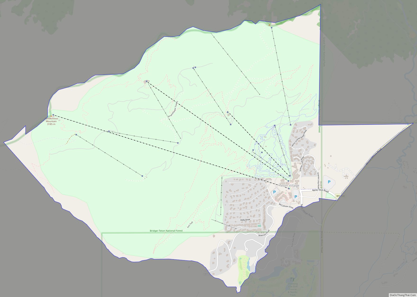
Online Interactive Map
Click on ![]() to view map in "full screen" mode.
to view map in "full screen" mode.
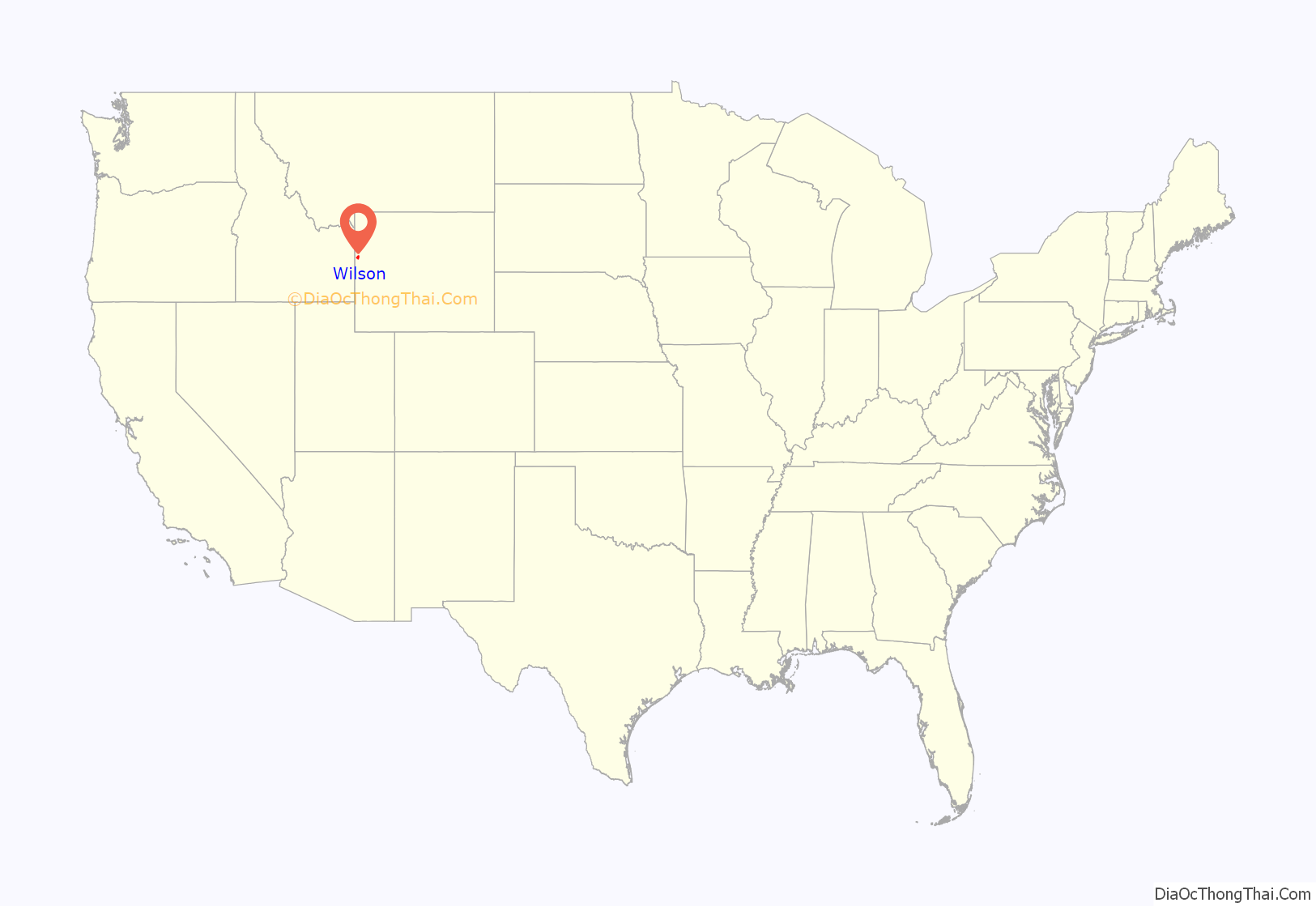
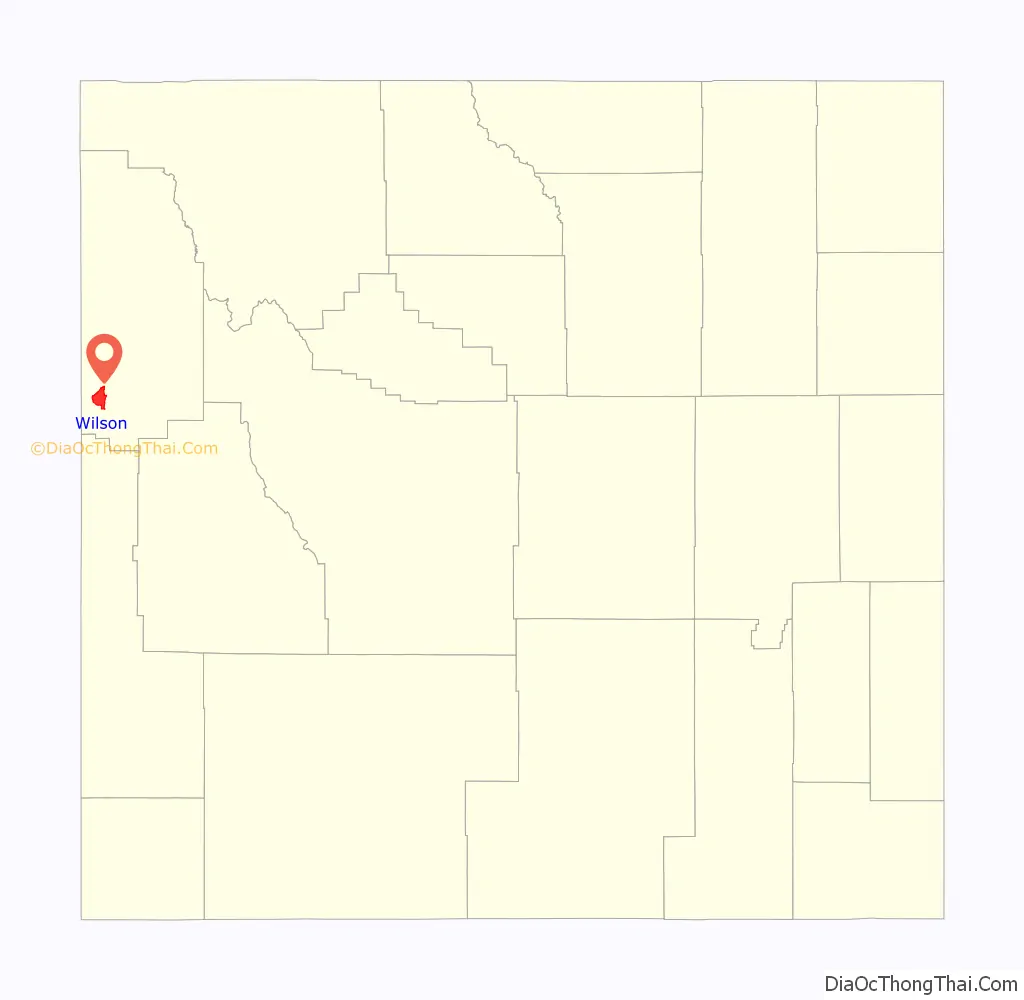
Wilson location map. Where is Wilson CDP?
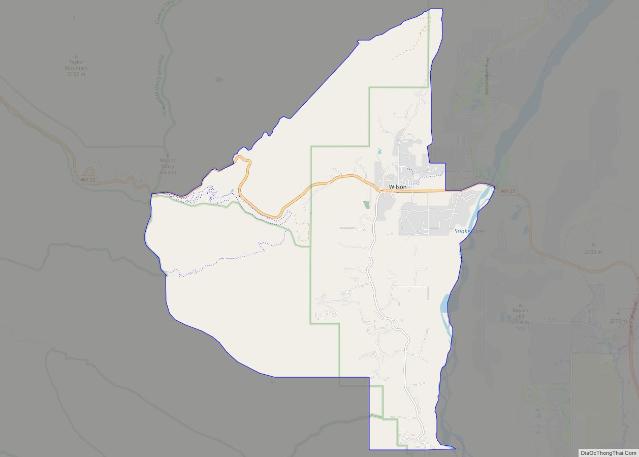
Wilson Road Map
Wilson city Satellite Map
Geography
Wilson is located at 43°29′11″N 110°52′45″W / 43.48639°N 110.87917°W / 43.48639; -110.87917 (43.4863, -110.8793). at an elevation of 6,148 feet (1,874 m) above sea level.
According to the United States Census Bureau, the CDP has a total area of 23.44 square miles (60.7 km), 22.96 square miles (59.5 km) of it land and 0.5 square miles (1.3 km) of it water (2.05%).
See also
Map of Wyoming State and its subdivision: Map of other states:- Alabama
- Alaska
- Arizona
- Arkansas
- California
- Colorado
- Connecticut
- Delaware
- District of Columbia
- Florida
- Georgia
- Hawaii
- Idaho
- Illinois
- Indiana
- Iowa
- Kansas
- Kentucky
- Louisiana
- Maine
- Maryland
- Massachusetts
- Michigan
- Minnesota
- Mississippi
- Missouri
- Montana
- Nebraska
- Nevada
- New Hampshire
- New Jersey
- New Mexico
- New York
- North Carolina
- North Dakota
- Ohio
- Oklahoma
- Oregon
- Pennsylvania
- Rhode Island
- South Carolina
- South Dakota
- Tennessee
- Texas
- Utah
- Vermont
- Virginia
- Washington
- West Virginia
- Wisconsin
- Wyoming