Wright is a town in Campbell County, Wyoming, United States. The population was 1,807 at the 2010 census.
| Name: | Wright town |
|---|---|
| LSAD Code: | 43 |
| LSAD Description: | town (suffix) |
| State: | Wyoming |
| County: | Campbell County |
| Elevation: | 5,122 ft (1,561 m) |
| Total Area: | 2.85 sq mi (7.39 km²) |
| Land Area: | 2.85 sq mi (7.39 km²) |
| Water Area: | 0.00 sq mi (0.00 km²) |
| Total Population: | 1,807 |
| Population Density: | 614.44/sq mi (237.27/km²) |
| ZIP code: | 82732 |
| Area code: | 307 |
| FIPS code: | 5685015 |
| GNISfeature ID: | 1605008 |
Online Interactive Map
Click on ![]() to view map in "full screen" mode.
to view map in "full screen" mode.
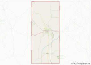
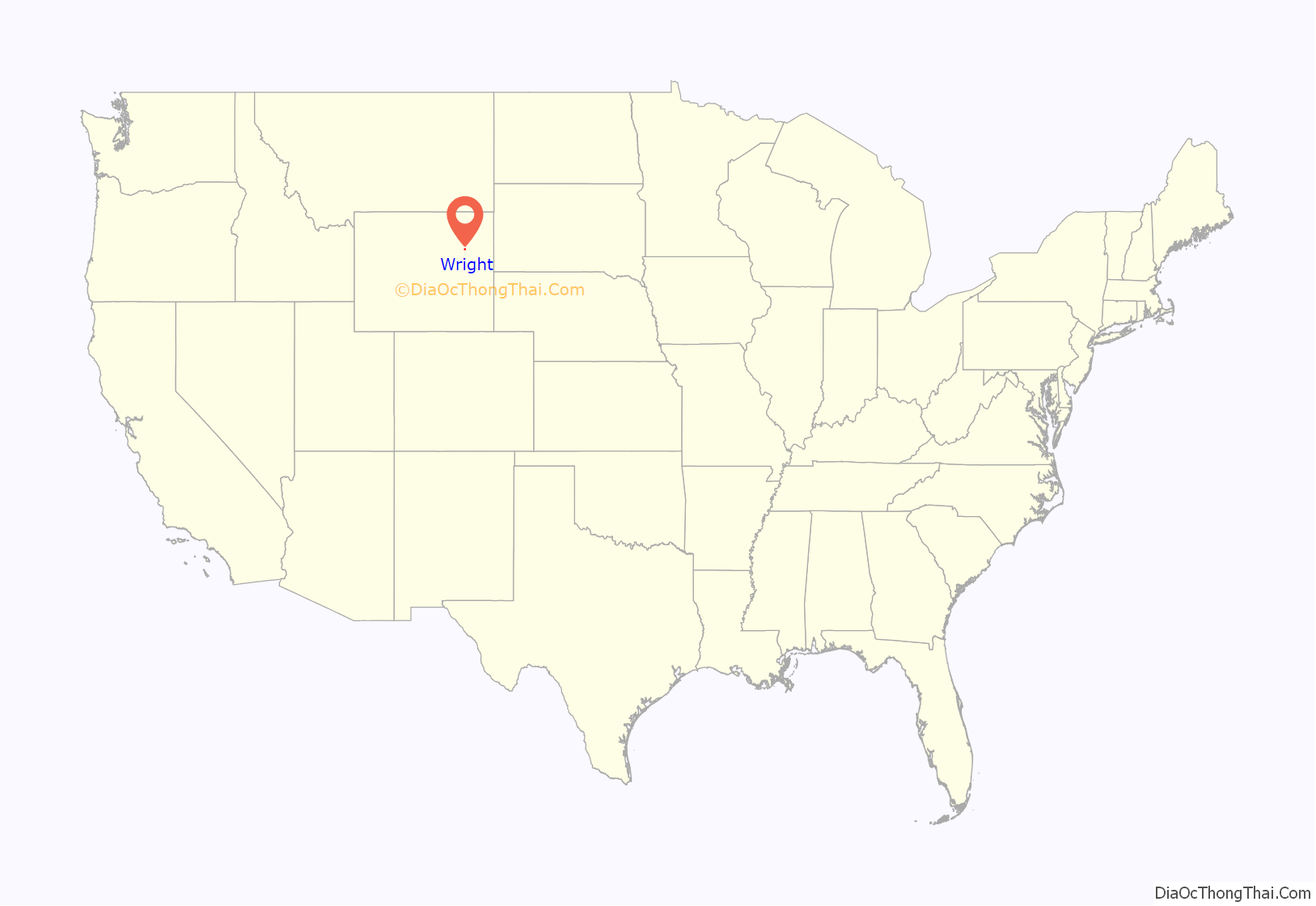
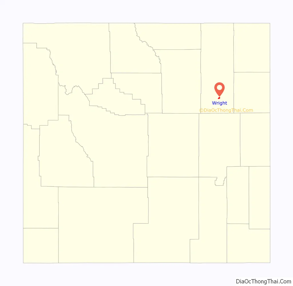
Wright location map. Where is Wright town?
History
Ten thousand years ago, the first people came to the high plains to hunt buffalo and antelope. In more recent times, the Sioux and Crow claimed this area as their hunting grounds. In the 1880s, ranchers came to graze long horn cattle and sheep on the open range. They were followed by homesteaders lured by the promise of free land.
Official settlement began in the area in the early 1900s but boomed in the 1970s, with the creation of the Black Thunder Coal Mine, the largest mine in the Powder River Basin and most productive mine in the United States.
The Wright family homesteaded the area in 1911 creating the Wright Community. Shortly after moving to the area, R. A. Wright opened Wright’s first Post Office providing mail service to area ranchers. The community became known as Wright, Wyoming.
In 1976, during the economic boom lead by Amax Coal, Black Thunder coal mine was developed near town. As with all energy towns, housing, schools, and essential services were needed. And like other coal mining regions, the Atlantic Richfield coal company stepped up and built the newly organized community, developing housing and a company store.
The Town of Wright was incorporated in 1985, making it one of Wyoming’s newest municipalities with a rich history. By 1990, Wright was a well-established community with a population of 1,236 people.
On August 12, 2005, an F2 rated tornado struck a mobile home park at Wright, destroying 91 homes, damaging others, and killing two people. Around that time, the residents there proposed a split from Campbell County.
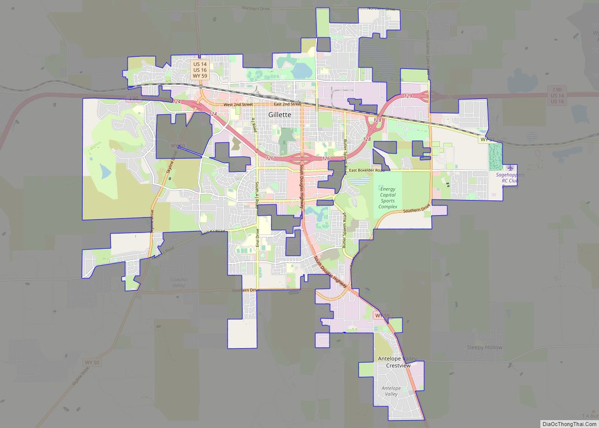
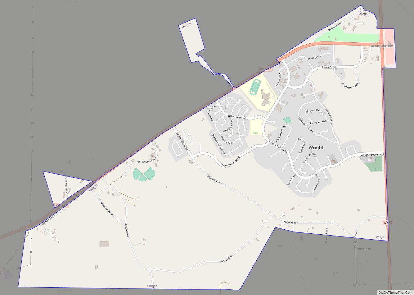
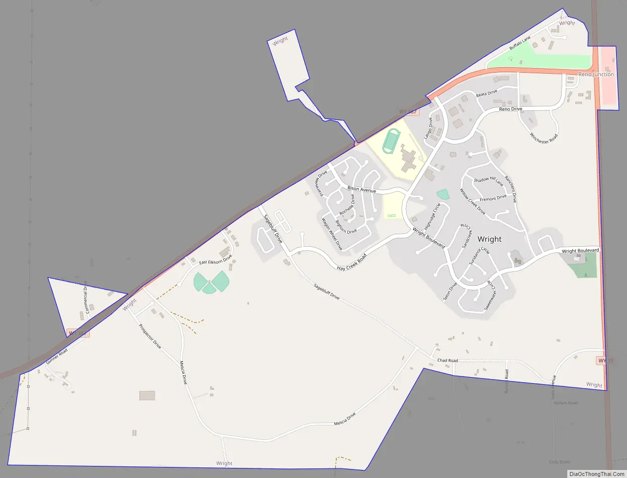
Wright Road Map
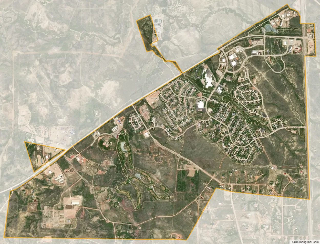
Wright city Satellite Map
Geography
According to the United States Census Bureau, the town has a total area of 2.85 square miles (7.38 km), all land.
See also
Map of Wyoming State and its subdivision: Map of other states:- Alabama
- Alaska
- Arizona
- Arkansas
- California
- Colorado
- Connecticut
- Delaware
- District of Columbia
- Florida
- Georgia
- Hawaii
- Idaho
- Illinois
- Indiana
- Iowa
- Kansas
- Kentucky
- Louisiana
- Maine
- Maryland
- Massachusetts
- Michigan
- Minnesota
- Mississippi
- Missouri
- Montana
- Nebraska
- Nevada
- New Hampshire
- New Jersey
- New Mexico
- New York
- North Carolina
- North Dakota
- Ohio
- Oklahoma
- Oregon
- Pennsylvania
- Rhode Island
- South Carolina
- South Dakota
- Tennessee
- Texas
- Utah
- Vermont
- Virginia
- Washington
- West Virginia
- Wisconsin
- Wyoming