Elizabethton is a city in, and the county seat of Carter County, Tennessee, United States. Elizabethton is the historical site of the first independent American government (known as the Watauga Association, created in 1772) located west of both the Eastern Continental Divide and the original Thirteen Colonies.
The city is also the historical site of the Transylvania Purchase (1775), a major muster site during the American Revolutionary War for both the Battle of Musgrove Mill (1780) and the Battle of Kings Mountain (1780). It was within the secessionist North Carolina “State of Franklin” territory (1784–1788).
The population of Elizabethton was enumerated at 14,176 during the 2010 census.
| Name: | Elizabethton city |
|---|---|
| LSAD Code: | 25 |
| LSAD Description: | city (suffix) |
| State: | Tennessee |
| County: | Carter County |
| Founded: | 1799 |
| Elevation: | 1,593 ft (465 m) |
| Total Area: | 9.70 sq mi (25.11 km²) |
| Land Area: | 9.55 sq mi (24.74 km²) |
| Water Area: | 0.15 sq mi (0.38 km²) |
| Total Population: | 14,546 |
| Population Density: | 1,522.98/sq mi (588.02/km²) |
| ZIP code: | 37643-37644 |
| Area code: | 423 |
| FIPS code: | 4723500 |
| GNISfeature ID: | 1328127 |
| Website: | www.elizabethton.org |
Online Interactive Map
Click on ![]() to view map in "full screen" mode.
to view map in "full screen" mode.
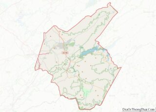
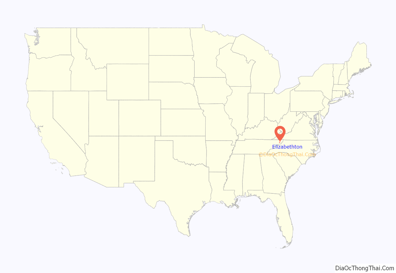
Elizabethton location map. Where is Elizabethton city?
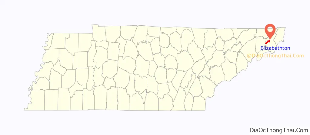
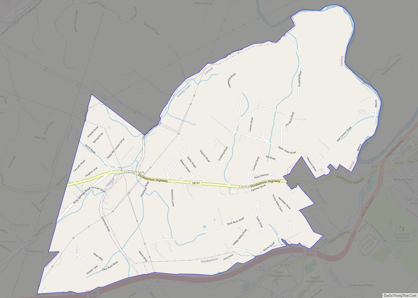
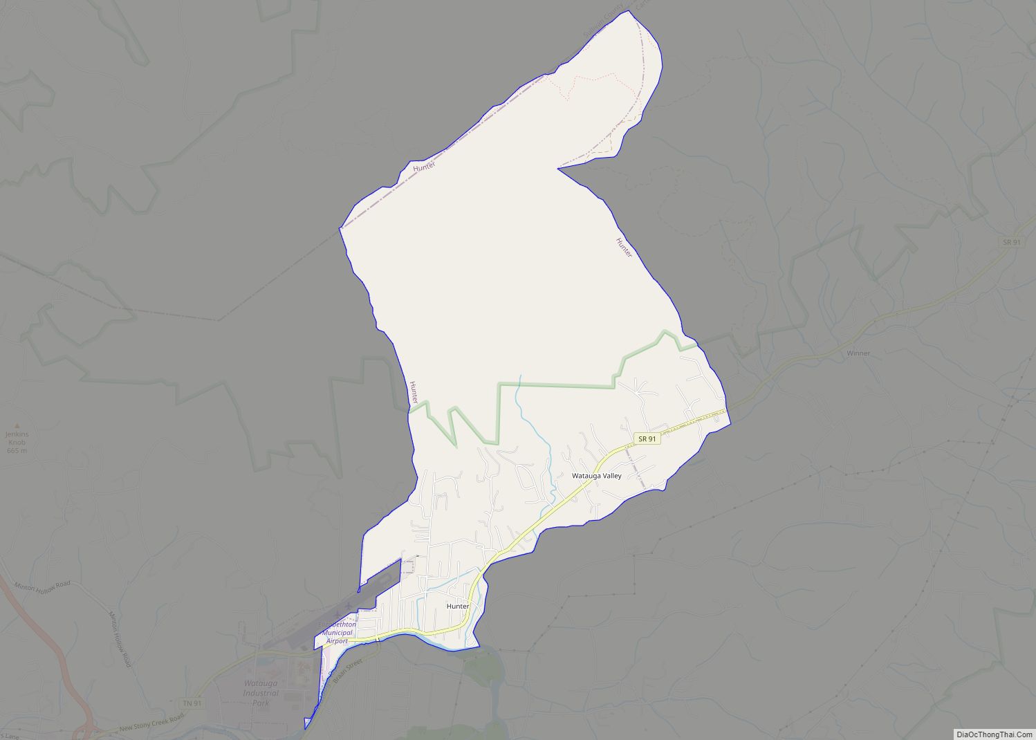
Elizabethton Road Map
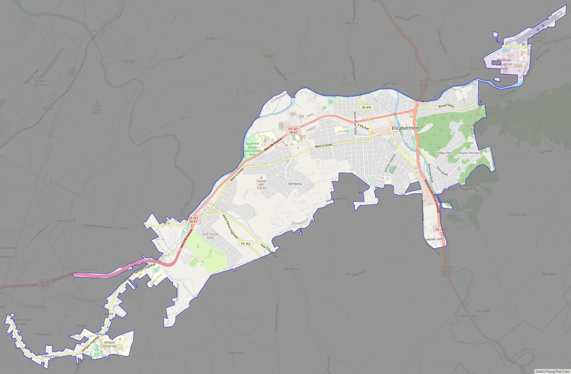
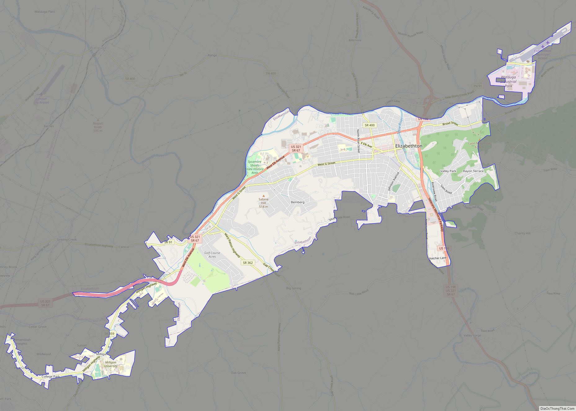
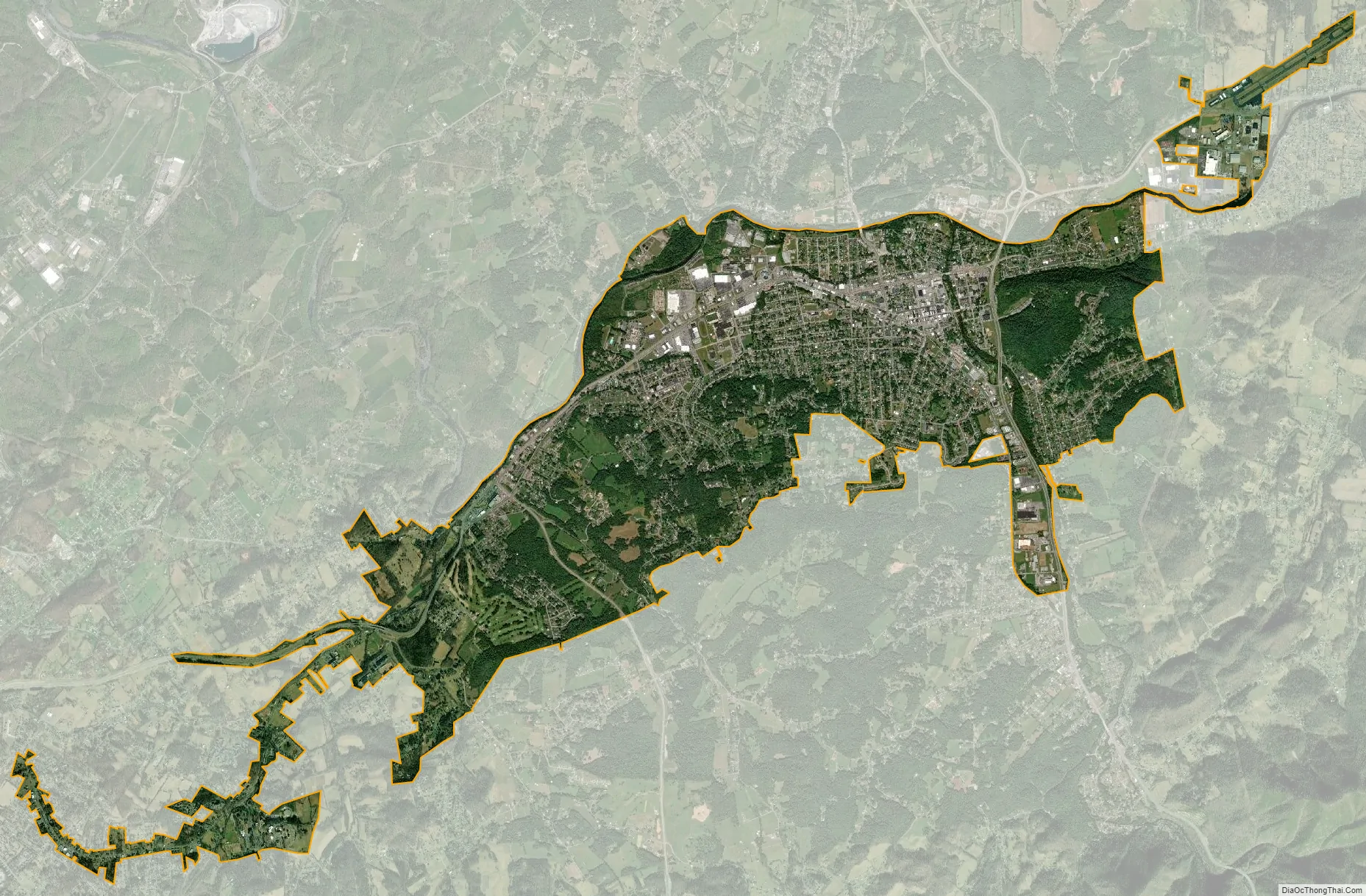
Elizabethton city Satellite Map
Geography
Northeast Tennessee location
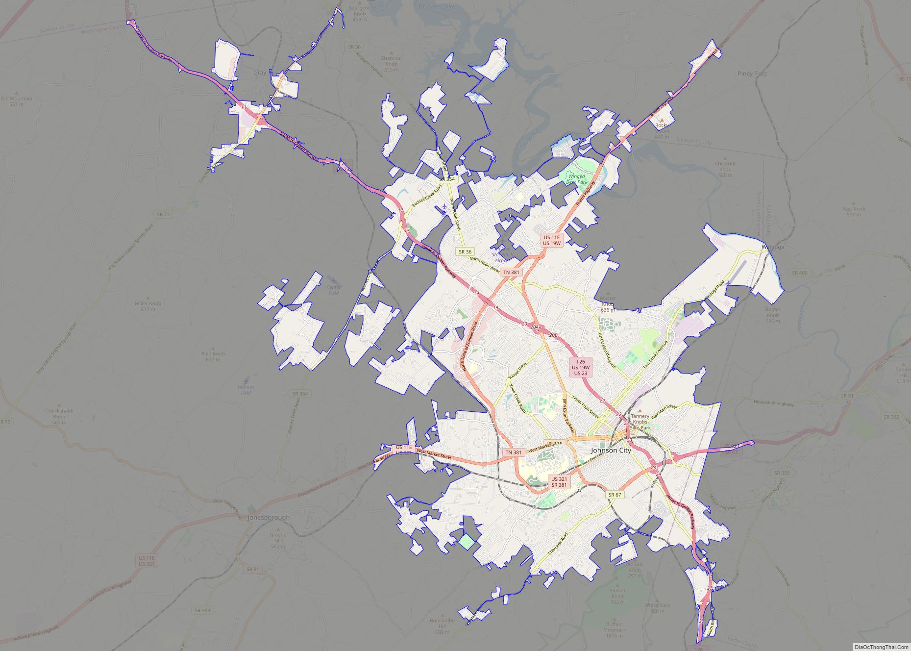
Elizabethton is located within the “Tri-Cities” area (encompassed by Bristol, Johnson City, and Kingsport) of northeast Tennessee.
Time offset from Coordinated Universal Time (UTC): UTC-5 (Eastern Time).
According to the United States Census Bureau, the city has a total area of 9.9 square miles (25.6 km), of which 9.7 square miles (25.2 km) is land and 0.2 square miles (0.4 km), or 1.62%, is water.
The elevation at Elizabethton Municipal Airport is 1,593 feet (486 m) ASL (the highest point of elevation in Carter County is at Roan Mountain with an elevation of 6,285 feet (1,916 m) ASL), and the airport is located on the eastern side of the city along State Highway 91 Stoney Creek Exit. Elizabethton is also connected to larger commercial, shuttle, and cargo flights out of Tri-Cities Regional Airport northwest of Johnson City.
Lynn Mountain reaches 2,060 feet (630 m) ASL at the summit (36.350°N, 82.191°W) and is located directly across the U.S. Highway 19E from the downtown Elizabethton business district.
Elizabethton is bordered on the west by Johnson City.
Water resources and renewable energy
While most of the Tennessee public water-supply systems withdrawing spring water for their supplies are found in East Tennessee, the Elizabethton municipal water system during 2010 extracted and distributed 5.39 Mgal/d of clean spring water from three springs owned by the city — a unique local supply of flowing spring water that greatly exceeds the volume of spring water extracted and distributed than any other local water resource system across the entire state of Tennessee.
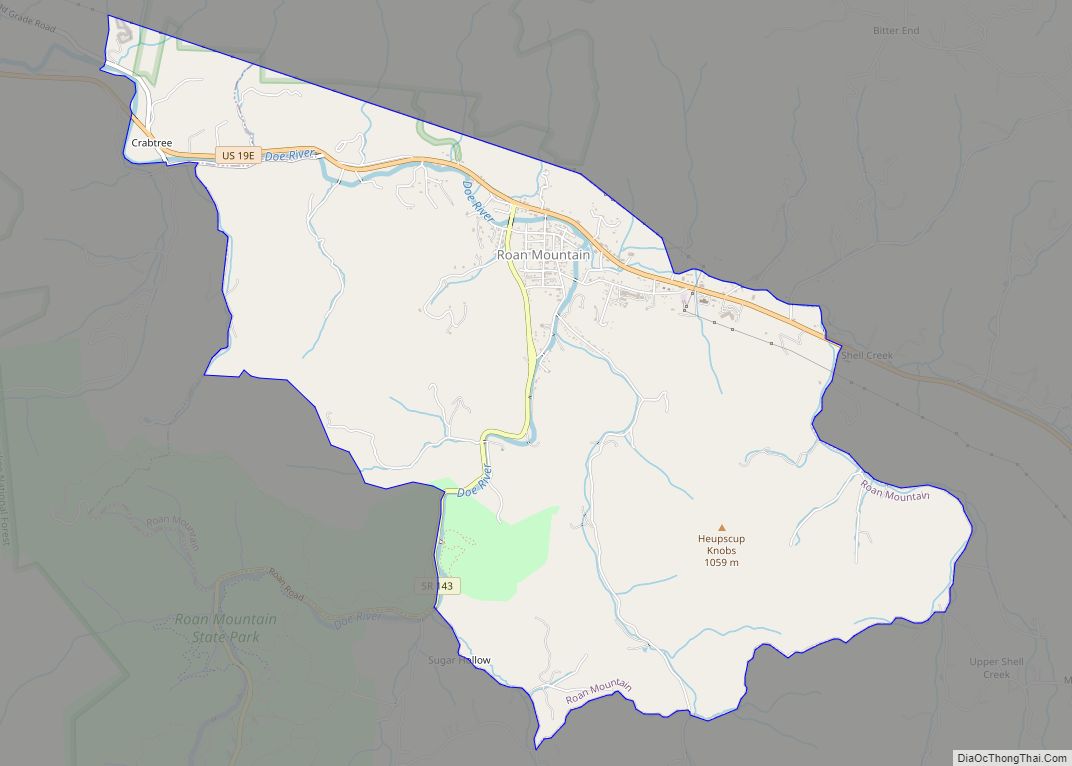
The Doe River forms in Carter County, Tennessee, near the North Carolina line, just south of Roan Mountain State Park. The river initially flows north and is first paralleled by State Route 143; at the community of Roan Mountain, Tennessee, it then turns west and is at this point paralleled by U.S. Route 19E. The Doe River flows to the east of Fork Mountain; the Little Doe River flows by Fork Mountain to the west.
Below the confluence of the Doe River and the Little Doe River at Hampton, the Doe River then travels roughly in a northern downstream direction through the Valley Forge community, and is rejoined by U.S. Route 19E. Pushing through a mountain gap just north of Hampton, the volume of the river is amplified by the waters flowing from McCathern Spring.
Further downstream, the Doe River flows by the East Side neighborhood parallel with Tennessee State Route 67 and then underneath the historic Elizabethton Covered Bridge, built in 1882 and located within the Elizabethton downtown business district. Connecting 3rd Street and Hattie Avenue, the covered bridge is adjacent to a city park and spans the Doe River. The covered bridge, although now closed to motor traffic, is still open for bicycles and pedestrians.
Most of Elizabethton’s downtown is listed on the National Register of Historic Places for its historical and architectural merits. The Elizabethton Historic District contains a variety of properties ranging in age from the late 18th century through the 1930s. The Elizabethton Covered Bridge is an important focal point and a well-known landmark in the state. In addition to the covered bridge, the downtown historic district contains the 1928 Elk Avenue concrete arch bridge, and just a little further downstream on the Doe River, Tennessee State Route 67 passes another similar concrete arch bridge locally known as the Broad Street Bridge.
Elizabethton celebrates in the downtown business area for one week each June with the Elizabethton Covered Bridge Days featuring country and gospel music performances, activities for children, Elk Avenue car club show, and many food and crafts vendors.
Two Tennessee Valley Authority (TVA) reservoirs in Carter County—impounded behind the Watauga Dam (forming Watauga Lake) and the immediately downstream Wilbur Dam—are located southeast and upstream of Elizabethton on the Watauga River. The Appalachian Trail crosses the Watauga River and the TVA reservation in Carter County to the southeast of Elizabethton.
The Watauga River flows westward past Elizabethton, which lies on the south bank of the Watauga and along either side of its principal tributary, the Doe River. The downtown business district is located approximately one-quarter mile upstream of the confluence of the Doe River and the Watauga River. The Doe River flows underneath the historic wooden covered bridge that is located within the Elizabethton downtown business district.
The city of Elizabethton was at one time promoted as “The City of Power”, as the town is located just southeast of the Wilbur Dam hydrogeneration site spanning the Watauga River. Construction of Wilbur Dam first began during 1909, and two hydroelectric generating units were online with power production at Wilbur Dam when it was completed in 1912. A third generating unit was added to Wilbur Dam in 1926, and a fourth hydrogeneration unit was added to Wilbur Dam after the Tennessee Valley Authority acquired the power production facility in 1945.
The Bee Cliff Rapids—a popular summer destination on the Watauga River for whitewater rafters during the summer months—are located southeast of Elizabethton and downstream of the TVA Wilbur Dam.
The Watauga River downstream of the western side of Elizabethton has one of the only two sections of trophy trout streams in Tennessee.
Holston Mountain communication towers
Elizabethton lies within a river valley basin mostly surrounded by mountain ridges and significant hills, such as Holston Mountain, the southern end of which lies just to the northeast. Panhandle Road is located off State Highway 91 in Carter County and ascends Holston Mountain for 3 miles (5 km) from the eastern side and ends 4 miles (6 km) along the ridge southwest of Holston High Point. During periods of heavy snow and ice, the National Forest Service closes Panhandle Road.
Located near the Cherokee National Forest boundary and to the left of Panhandle Road is a parking area and foot trail that leads down the slope to the Blue Hole Falls (approximately 45 feet (14 m) high). The last 3 miles (5 km) of Panhandle Road are filled with washouts, steep drop-offs, and no turnarounds. Vehicle travel on this last section is at the driver’s risk.
Early broadcasters in the 1950s and 1960s quickly realized Holston Mountain would be a prime radio-television transmission location because it is the highest visible point that faces most of the major cities in Northeast Tennessee. As a result, the Holston Mountain ridge is the transmitter site for three television stations in the Tri-Cities, Tennessee Television Designated Market Area. The broadcasting antenna for WCYB-TV, Channel 5, Bristol, Virginia, is on Rye Patch Knob, with the top of the antenna 341 feet (104 m) above ground, 2,431 feet (741 m) above the surrounding valley floor, and 4,533 feet (1,382 m) above sea level. The single tower the antenna sits on is the highest and tallest man-made structure on the mountain. The television towers for WJHL-TV, Channel 11, Johnson City, and WKPT-TV, Channel 19, Kingsport, are standing side by side in a common broadcasting antenna farm on the southwest slope of Holston High Point, 1 mile (1.6 km) southwest of Rye Patch Knob. The antenna for WJHL-TV stands 200 feet (61 m) above ground, 2,319 feet (707 m) above the surrounding valley floor, and 4,370 feet (1,330 m) above sea level. The antenna for WKPT-TV next door stands 193 feet (59 m) above ground, also 2,319 feet (707 m) above the valley floor, and 4,366 feet (1,331 m) above sea level. The stations’ digital antennas are also on their respective towers.
Holston Mountain is also the transmitting site for three FM Class C radio stations: WTFM-FM 98.5, Kingsport, Tennessee; WXBQ-FM 96.9, Bristol, Virginia, and WETS-FM 89.5, Johnson City, Tennessee. All three antennas and the backup antennas are located at the antenna farm on the southwest slope of Holston High Point. Also located on the ridge are the antenna for one FM Class C1 radio station, WHCB-FM 91.5, Bristol, Tennessee, located at Rye Patch Knob; one FM Class C2 antenna for radio station WCQR-FM 88.3, Kingsport, Tennessee, and one FM Class D antenna for radio station W214AP-FM 90.7, Johnson City, Tennessee, both transmitting from the antenna farm on the southwest slope of Holston High Point. Various U.S. federal, Tennessee state, Sullivan, Washington and Carter County governmental agencies, along with utility microwave relay stations, also transmit base-to-mobile communications from the Holston High Point antenna farm and Rye Patch Knob.
The Federal Aviation Administration maintains a navigational beacon at the Holston Mountain summit.
East Tennessee PBS (or “ETPtv”), while not having a television repeater station serving the immediate area, broadcasts programming on two different over-the-air digital channels that can be received and viewed at higher hilltop elevations in Elizabethton. In early 2009, ETPtv became one of the first stations in East Tennessee to broadcast a digital high definition signal 24 hours a day.
See also
Map of Tennessee State and its subdivision:- Anderson
- Bedford
- Benton
- Bledsoe
- Blount
- Bradley
- Campbell
- Cannon
- Carroll
- Carter
- Cheatham
- Chester
- Claiborne
- Clay
- Cocke
- Coffee
- Crockett
- Cumberland
- Davidson
- Decatur
- DeKalb
- Dickson
- Dyer
- Fayette
- Fentress
- Franklin
- Gibson
- Giles
- Grainger
- Greene
- Grundy
- Hamblen
- Hamilton
- Hancock
- Hardeman
- Hardin
- Hawkins
- Haywood
- Henderson
- Henry
- Hickman
- Houston
- Humphreys
- Jackson
- Jefferson
- Johnson
- Knox
- Lake
- Lauderdale
- Lawrence
- Lewis
- Lincoln
- Loudon
- Macon
- Madison
- Marion
- Marshall
- Maury
- McMinn
- McNairy
- Meigs
- Monroe
- Montgomery
- Moore
- Morgan
- Obion
- Overton
- Perry
- Pickett
- Polk
- Putnam
- Rhea
- Roane
- Robertson
- Rutherford
- Scott
- Sequatchie
- Sevier
- Shelby
- Smith
- Stewart
- Sullivan
- Sumner
- Tipton
- Trousdale
- Unicoi
- Union
- Van Buren
- Warren
- Washington
- Wayne
- Weakley
- White
- Williamson
- Wilson
- Alabama
- Alaska
- Arizona
- Arkansas
- California
- Colorado
- Connecticut
- Delaware
- District of Columbia
- Florida
- Georgia
- Hawaii
- Idaho
- Illinois
- Indiana
- Iowa
- Kansas
- Kentucky
- Louisiana
- Maine
- Maryland
- Massachusetts
- Michigan
- Minnesota
- Mississippi
- Missouri
- Montana
- Nebraska
- Nevada
- New Hampshire
- New Jersey
- New Mexico
- New York
- North Carolina
- North Dakota
- Ohio
- Oklahoma
- Oregon
- Pennsylvania
- Rhode Island
- South Carolina
- South Dakota
- Tennessee
- Texas
- Utah
- Vermont
- Virginia
- Washington
- West Virginia
- Wisconsin
- Wyoming