Roan Mountain is a census-designated place (CDP) in Carter County, Tennessee, United States. The population was 1,360 at the 2010 census. It is part of the Johnson City Metropolitan Statistical Area, which is a component of the Johnson City–Kingsport–Bristol, TN-VA Combined Statistical Area – commonly known as the Tri-Cities region.
| Name: | Roan Mountain CDP |
|---|---|
| LSAD Code: | 57 |
| LSAD Description: | CDP (suffix) |
| State: | Tennessee |
| County: | Carter County |
| Elevation: | 2,578 ft (786 m) |
| Total Area: | 6.63 sq mi (17.16 km²) |
| Land Area: | 6.63 sq mi (17.16 km²) |
| Water Area: | 0.00 sq mi (0.00 km²) |
| Total Population: | 1,078 |
| Population Density: | 162.69/sq mi (62.82/km²) |
| ZIP code: | 37687 |
| Area code: | 423 |
| FIPS code: | 4763840 |
| GNISfeature ID: | 1299556 |
| Website: | http://www.roanmountain.com/ |
Online Interactive Map
Click on ![]() to view map in "full screen" mode.
to view map in "full screen" mode.
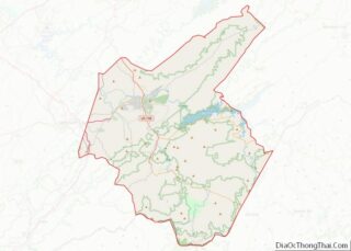
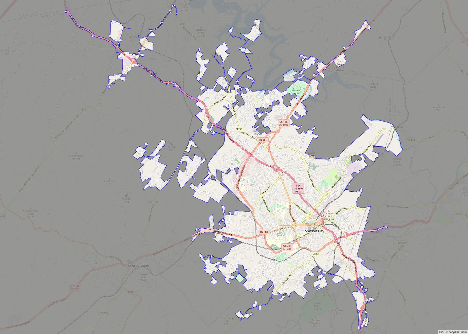
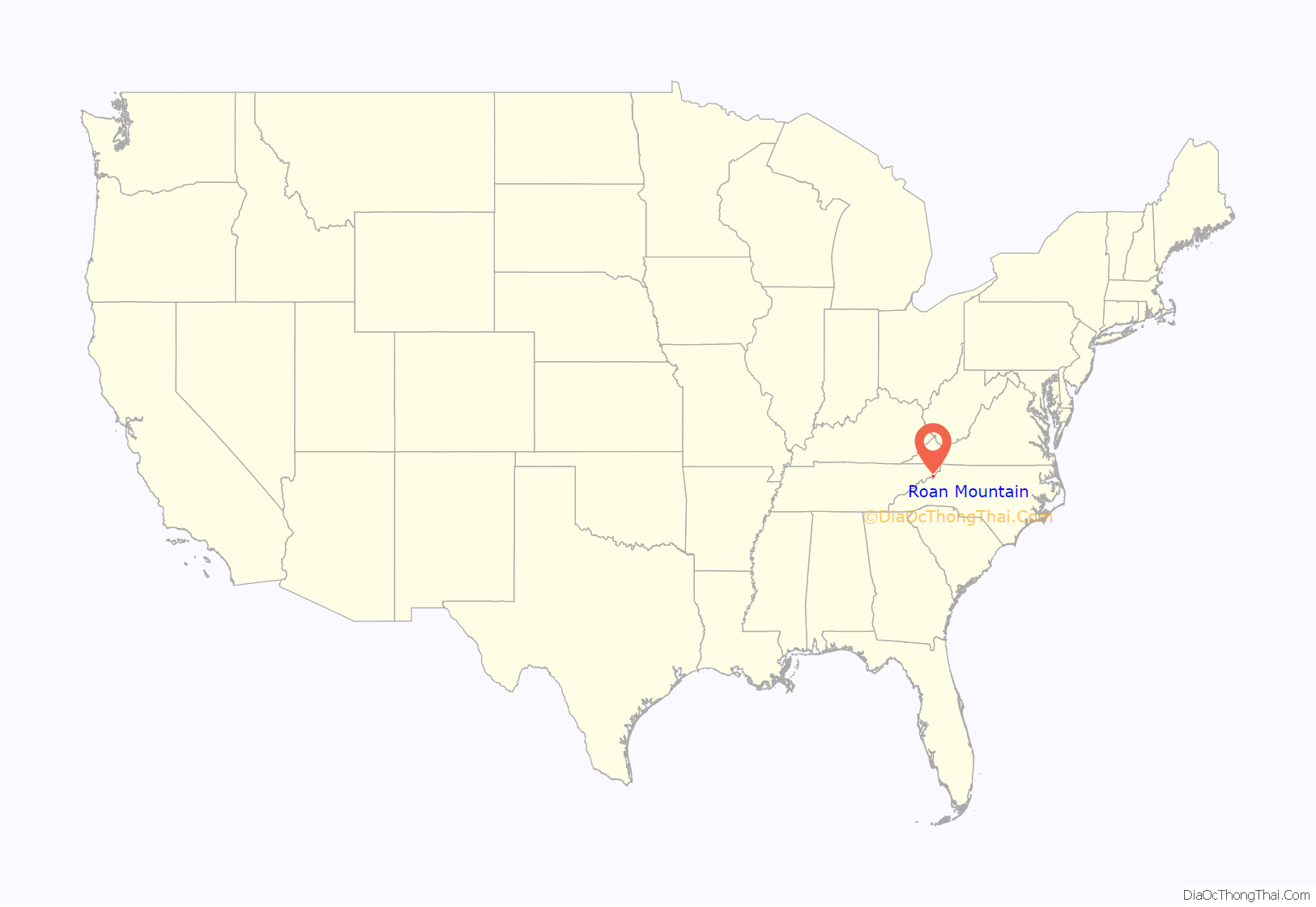
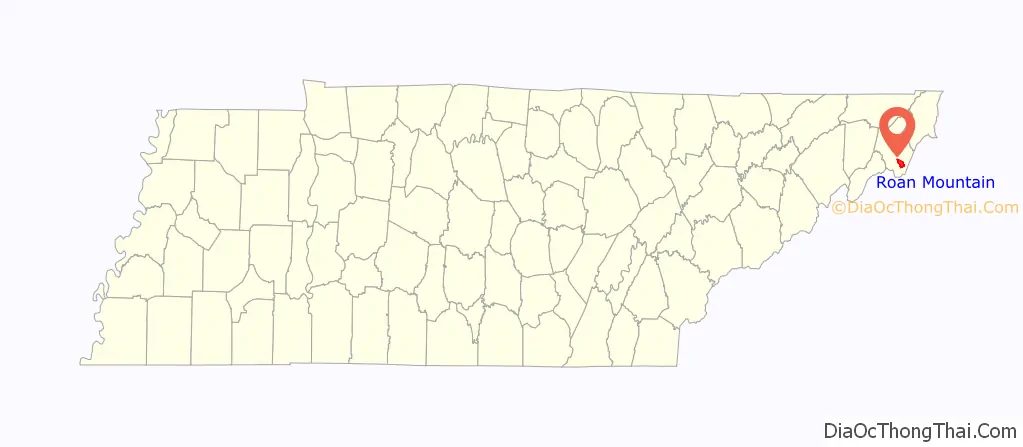
Roan Mountain location map. Where is Roan Mountain CDP?
History
In September 1780, the Overmountain Men— a group of American soldiers from the trans-Appalachian frontier who fought during the American Revolution— passed through Roan Mountain en route to North Carolina, where they would engage and defeat a group of loyalists at the Battle of Kings Mountain. On the night of September 26, this force camped at Shelving Rock, between what is now the Roan Mountain CDP and Roan Mountain State Park, where a rocky outcropping provided a convenient place for the soldiers to store their weapons and gunpowder. The site is now part of the Overmountain Victory National Historic Trail, and the field where the soldiers camped is listed on the National Register of Historic Places.
During the 1870s, John T. Wilder, an industrialist and former Union general, began purchasing large tracts of iron ore-rich lands in the Roan Mountain area, and established several mining operations in the region. In the early 1880s, he established the Roan Mountain community, originally known as Roan Mountain Station, as a stop along the East Tennessee and Western North Carolina Railroad (“Tweetsie”). He laid out streets, planted trees, and built a hotel, the Roan Mountain Inn, as well as a house for his family (the house still stands at the corner of Main and Stratton). In 1885, he established a resort atop the mountain, the Cloudland Hotel, which catered to people seeking relief from hay fever and other seasonal allergies.
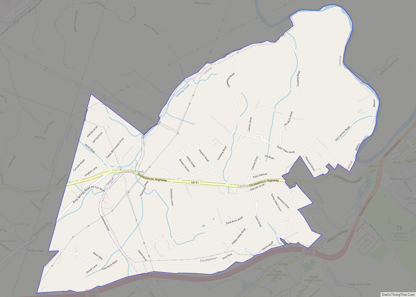
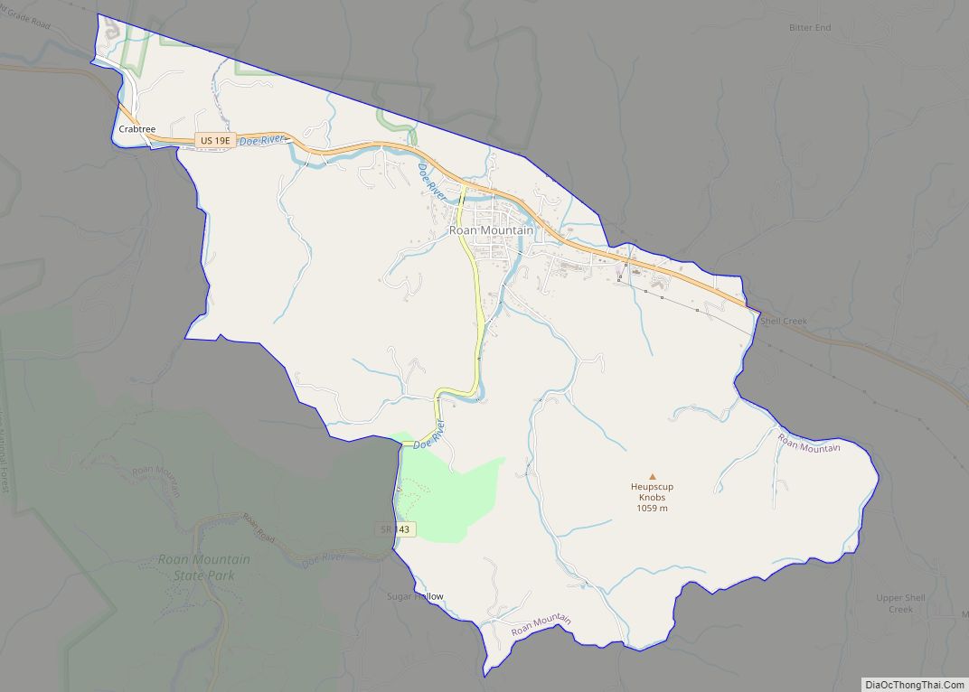
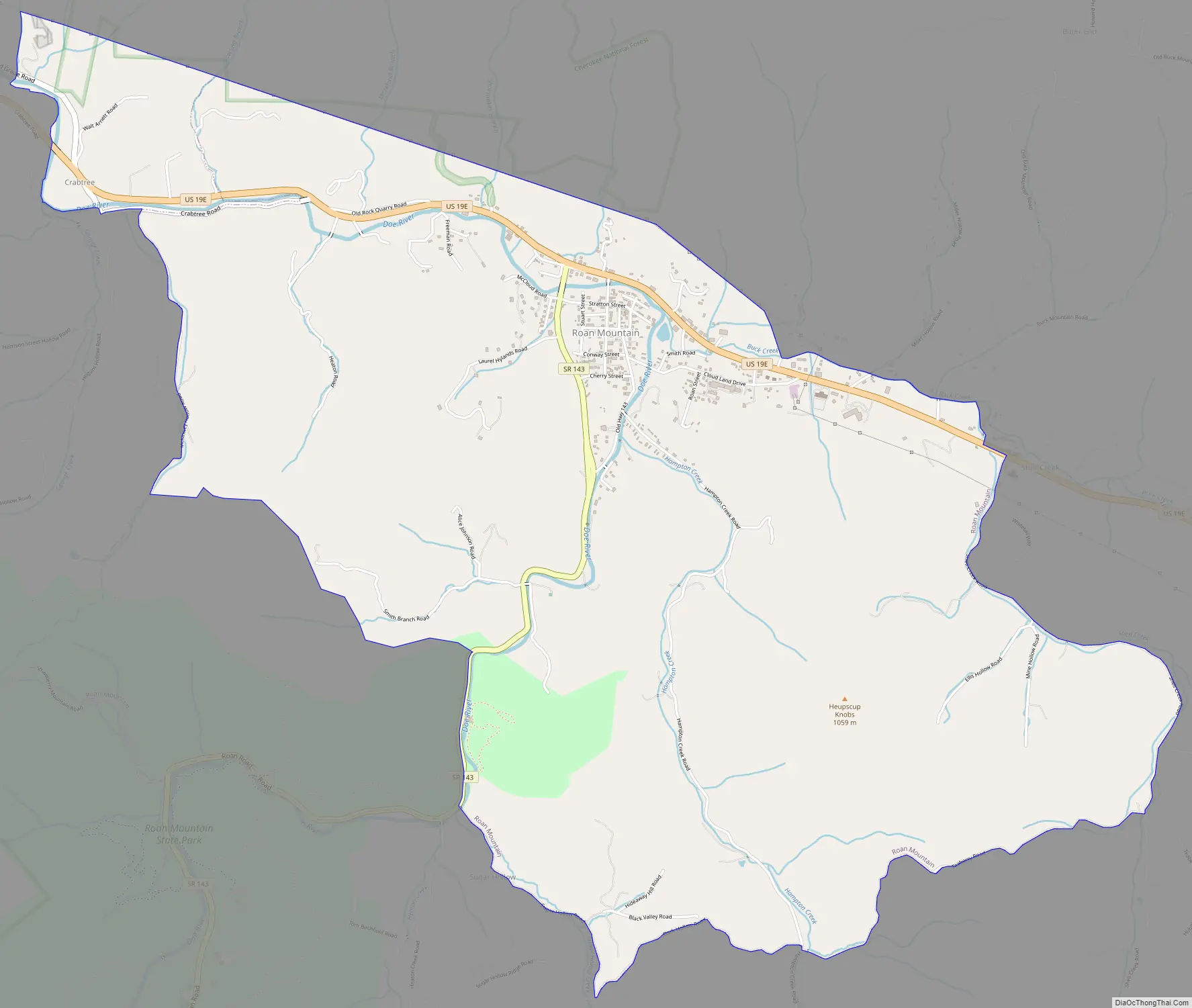
Roan Mountain Road Map
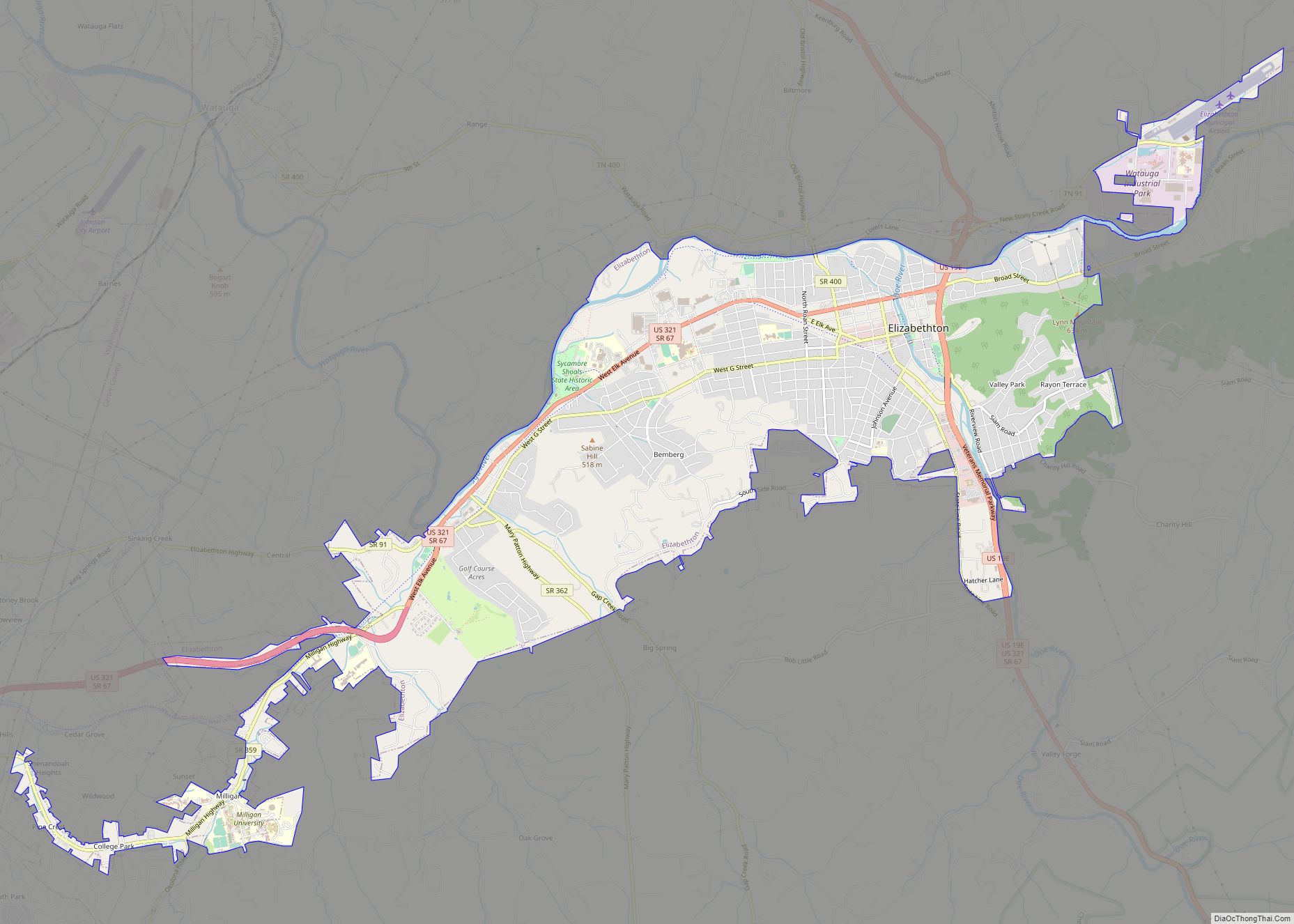
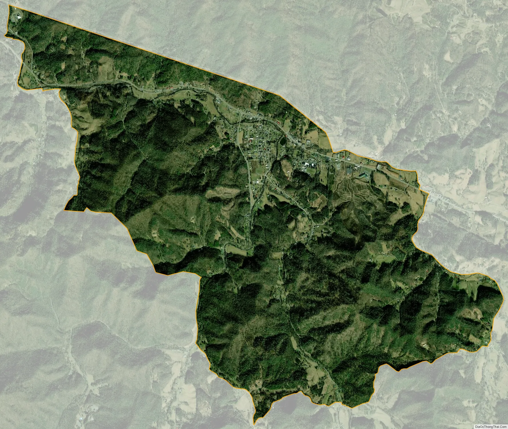
Roan Mountain city Satellite Map
Geography
Roan Mountain is located in northeast Tennessee at 36°11′39″N 82°4′6″W / 36.19417°N 82.06833°W / 36.19417; -82.06833 (36.194219, -82.068417). According to the United States Census Bureau, the CDP has a total area of 6.6 square miles (17.2 km), all land. The elevation of Roan Mountain near the center of the CDP is 2,550 feet (780 m).
Roan Mountain is located in southeastern Carter County, near the Tennessee-North Carolina border. The community is situated along the upper Doe River at the river’s confluence with Buck Creek. The mountain with which the community shares its name, Roan Mountain, rises several miles to the south. Reaching an elevation of 6,285 feet (1,916 m), the mountain is the highest point in Tennessee outside the Great Smoky Mountains. The Appalachian Trail traverses the mountain before descending and crossing U.S. Route 19E near the state line east of the CDP, and then turning westward across the crest of White Rocks Mountain, which rises immediately north of the CDP.
Roan Mountain State Park lies immediately south of the CDP. Elk Park, North Carolina is located across the state line in Avery County, North Carolina. Hampton, Tennessee, is located further down the Doe Valley to the northwest.
See also
Map of Tennessee State and its subdivision:- Anderson
- Bedford
- Benton
- Bledsoe
- Blount
- Bradley
- Campbell
- Cannon
- Carroll
- Carter
- Cheatham
- Chester
- Claiborne
- Clay
- Cocke
- Coffee
- Crockett
- Cumberland
- Davidson
- Decatur
- DeKalb
- Dickson
- Dyer
- Fayette
- Fentress
- Franklin
- Gibson
- Giles
- Grainger
- Greene
- Grundy
- Hamblen
- Hamilton
- Hancock
- Hardeman
- Hardin
- Hawkins
- Haywood
- Henderson
- Henry
- Hickman
- Houston
- Humphreys
- Jackson
- Jefferson
- Johnson
- Knox
- Lake
- Lauderdale
- Lawrence
- Lewis
- Lincoln
- Loudon
- Macon
- Madison
- Marion
- Marshall
- Maury
- McMinn
- McNairy
- Meigs
- Monroe
- Montgomery
- Moore
- Morgan
- Obion
- Overton
- Perry
- Pickett
- Polk
- Putnam
- Rhea
- Roane
- Robertson
- Rutherford
- Scott
- Sequatchie
- Sevier
- Shelby
- Smith
- Stewart
- Sullivan
- Sumner
- Tipton
- Trousdale
- Unicoi
- Union
- Van Buren
- Warren
- Washington
- Wayne
- Weakley
- White
- Williamson
- Wilson
- Alabama
- Alaska
- Arizona
- Arkansas
- California
- Colorado
- Connecticut
- Delaware
- District of Columbia
- Florida
- Georgia
- Hawaii
- Idaho
- Illinois
- Indiana
- Iowa
- Kansas
- Kentucky
- Louisiana
- Maine
- Maryland
- Massachusetts
- Michigan
- Minnesota
- Mississippi
- Missouri
- Montana
- Nebraska
- Nevada
- New Hampshire
- New Jersey
- New Mexico
- New York
- North Carolina
- North Dakota
- Ohio
- Oklahoma
- Oregon
- Pennsylvania
- Rhode Island
- South Carolina
- South Dakota
- Tennessee
- Texas
- Utah
- Vermont
- Virginia
- Washington
- West Virginia
- Wisconsin
- Wyoming