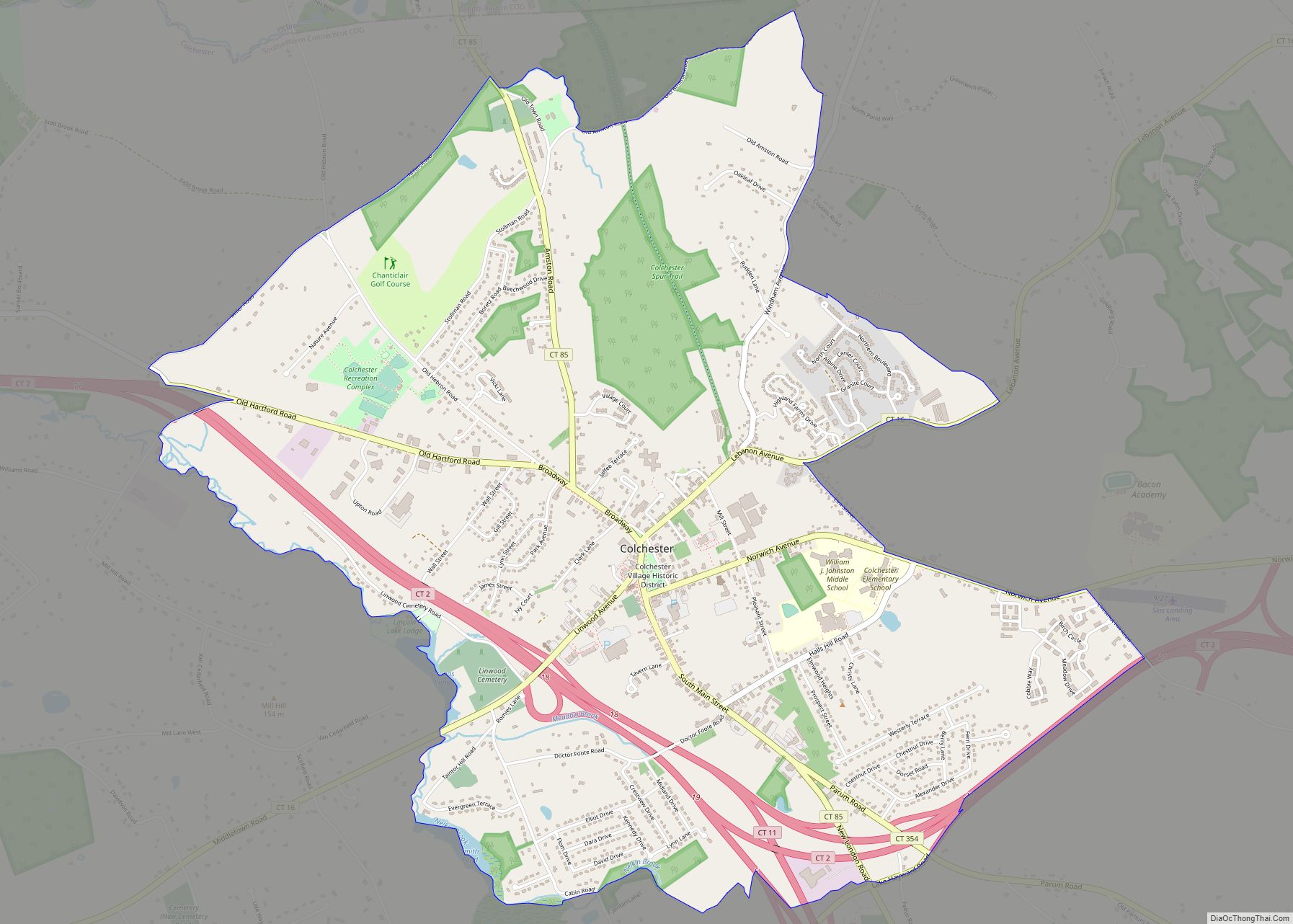
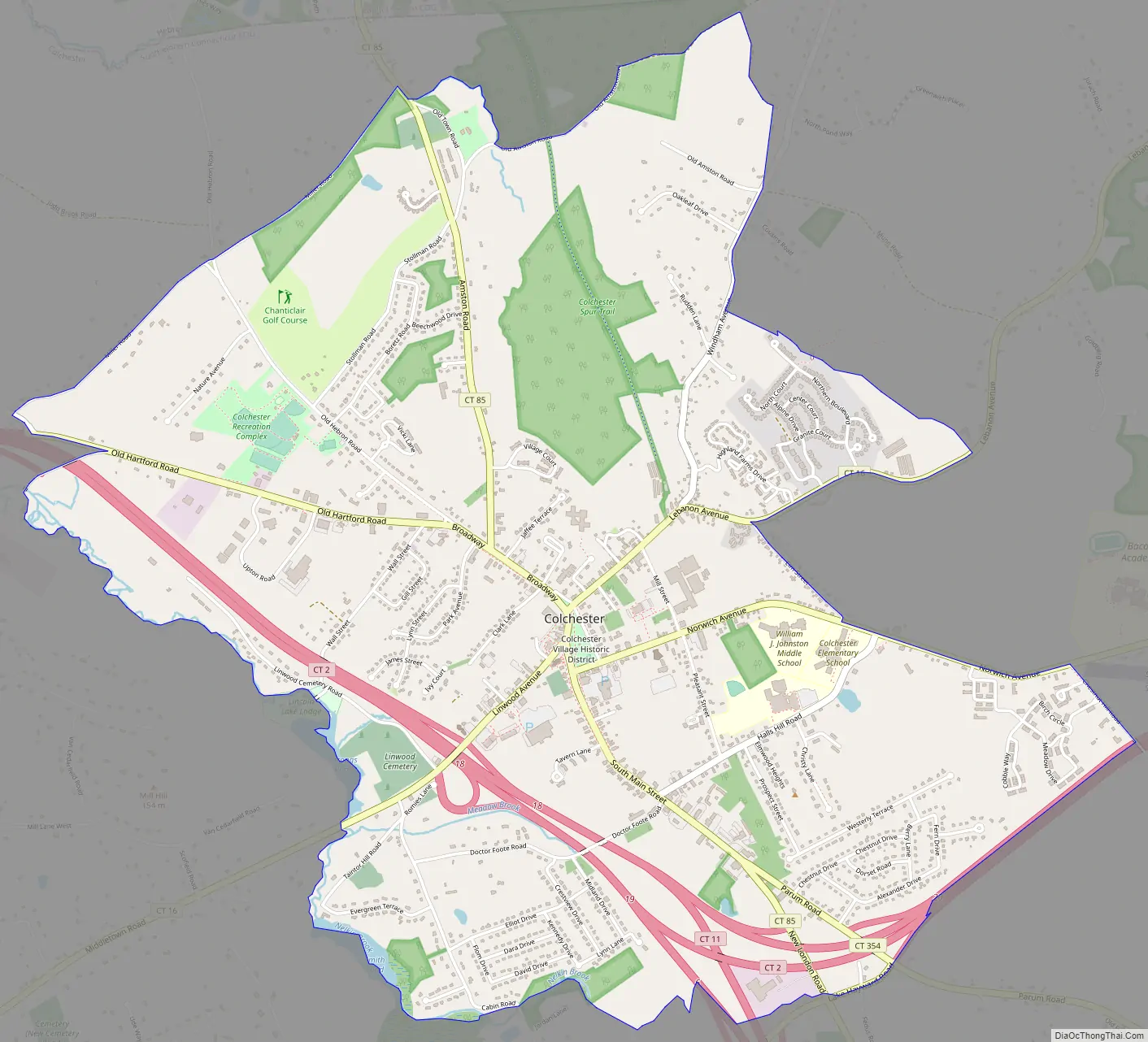
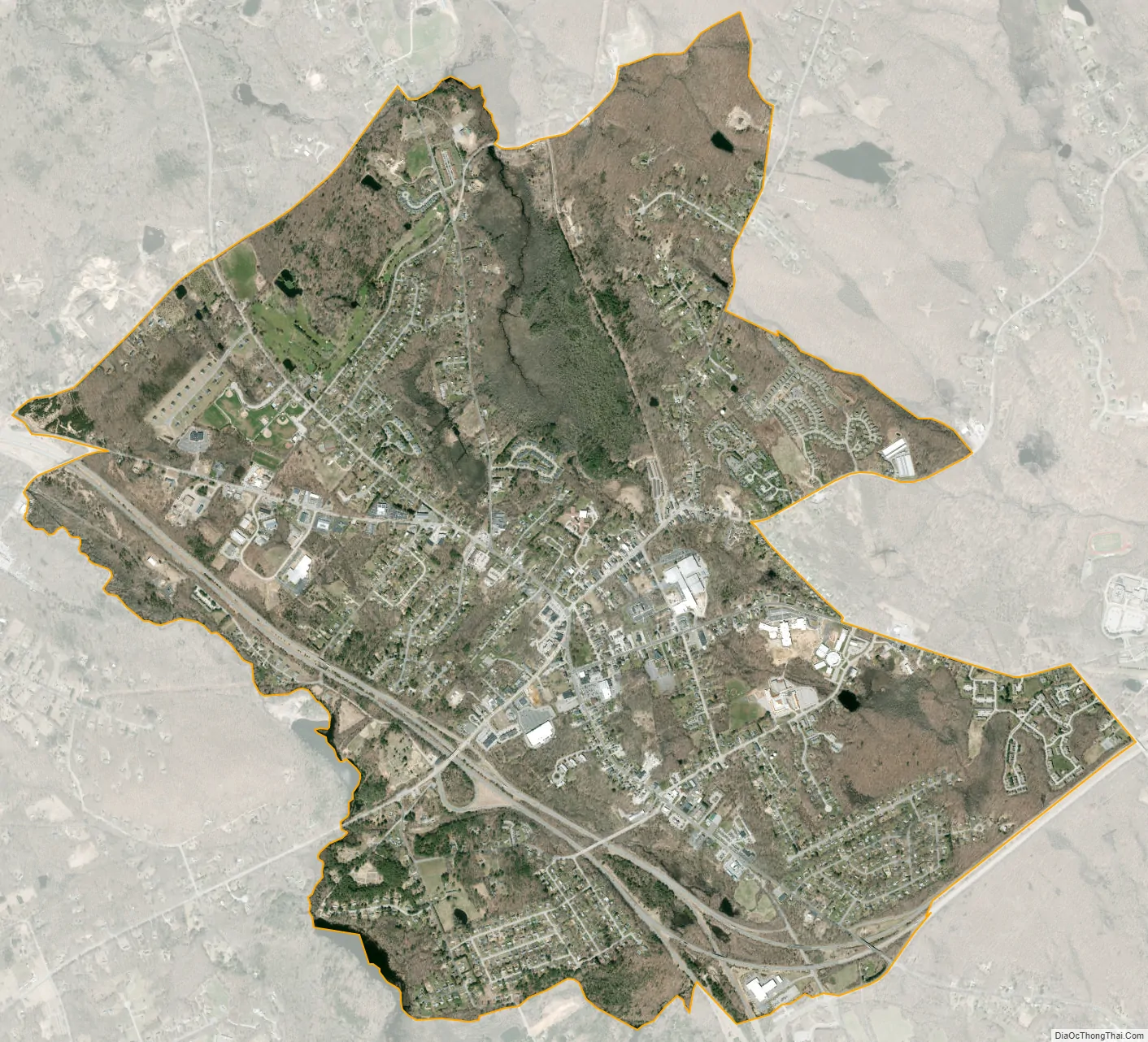
Colchester is a census-designated place (CDP) comprising the primary village and adjacent residential land in the town of Colchester, New London County, Connecticut, United States. It is in the east-central part of the town, with the Connecticut Route 2 expressway running through the south side of the community. As of the 2010 census, the CDP had a population of 4,781, out of 16,068 in the entire town of Colchester.
75 acres (30 ha) at the center of the village comprise the Colchester Village Historic District, listed on the National Register of Historic Places in 1994.
| Name: | Colchester CDP |
|---|---|
| LSAD Code: | 57 |
| LSAD Description: | CDP (suffix) |
| State: | Connecticut |
| County: | New London County |
| Elevation: | 141 m (463 ft) |
| Total Area: | 11.58 km² (4.47 sq mi) |
| Land Area: | 11.58 km² (4.47 sq mi) |
| Water Area: | 0.0 km² (0.0 sq mi) |
| Total Population: | 4,781 |
| Population Density: | 413.0/km² (1,070/sq mi) |
| ZIP code: | 06415 |
| Area code: | 860/959 |
| FIPS code: | 0915840 |
| GNISfeature ID: | 2378348 |
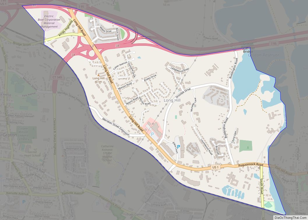
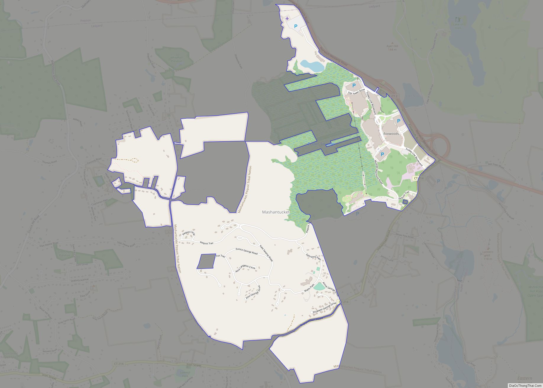
Online Interactive Map
Click on ![]() to view map in "full screen" mode.
to view map in "full screen" mode.
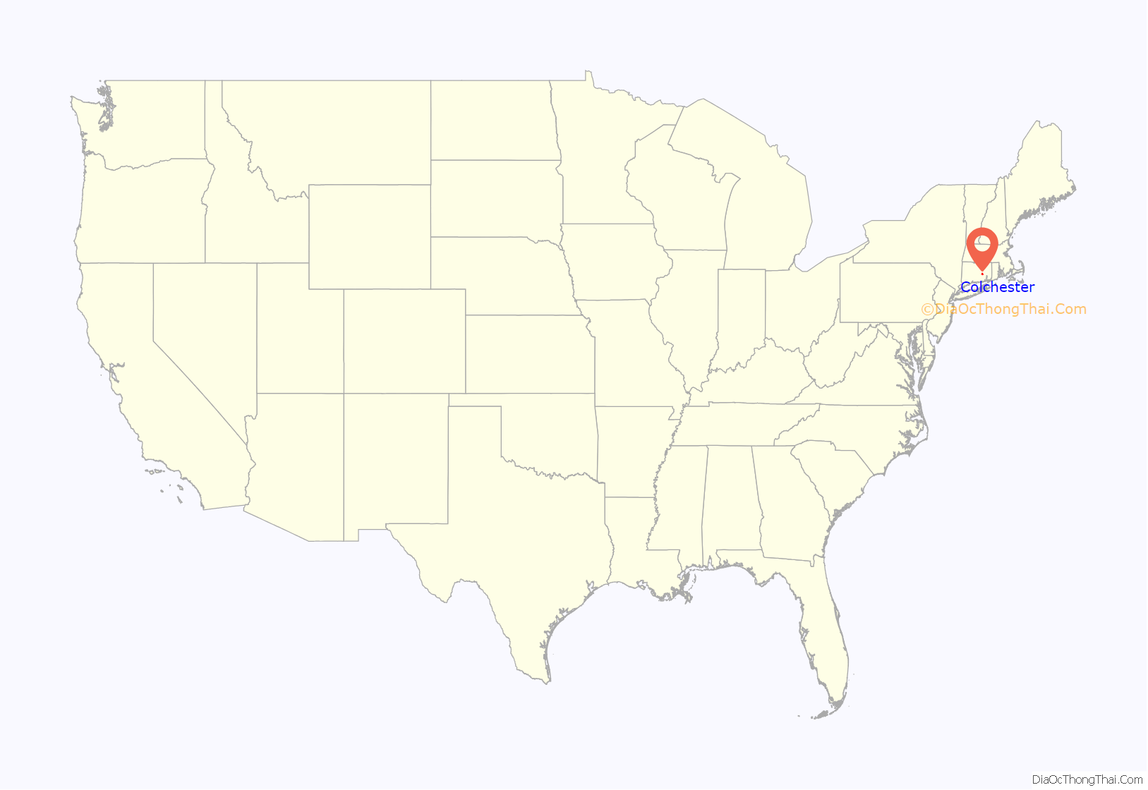
Colchester location map. Where is Colchester CDP?
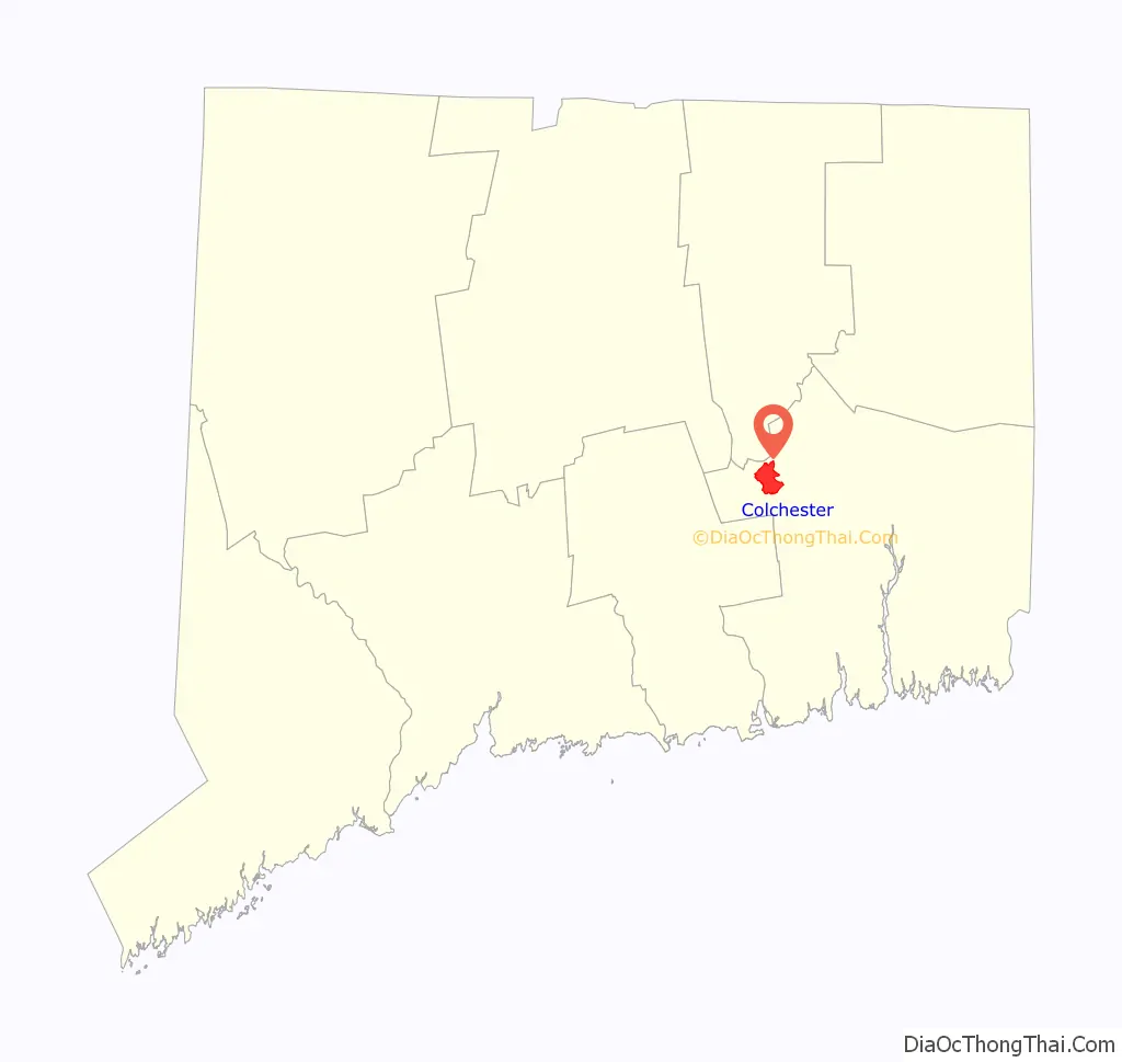
Colchester Road Map
Colchester city Satellite Map
See also
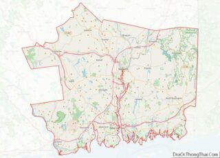
Map of Connecticut State and its subdivision: Map of other states:- Alabama
- Alaska
- Arizona
- Arkansas
- California
- Colorado
- Connecticut
- Delaware
- District of Columbia
- Florida
- Georgia
- Hawaii
- Idaho
- Illinois
- Indiana
- Iowa
- Kansas
- Kentucky
- Louisiana
- Maine
- Maryland
- Massachusetts
- Michigan
- Minnesota
- Mississippi
- Missouri
- Montana
- Nebraska
- Nevada
- New Hampshire
- New Jersey
- New Mexico
- New York
- North Carolina
- North Dakota
- Ohio
- Oklahoma
- Oregon
- Pennsylvania
- Rhode Island
- South Carolina
- South Dakota
- Tennessee
- Texas
- Utah
- Vermont
- Virginia
- Washington
- West Virginia
- Wisconsin
- Wyoming