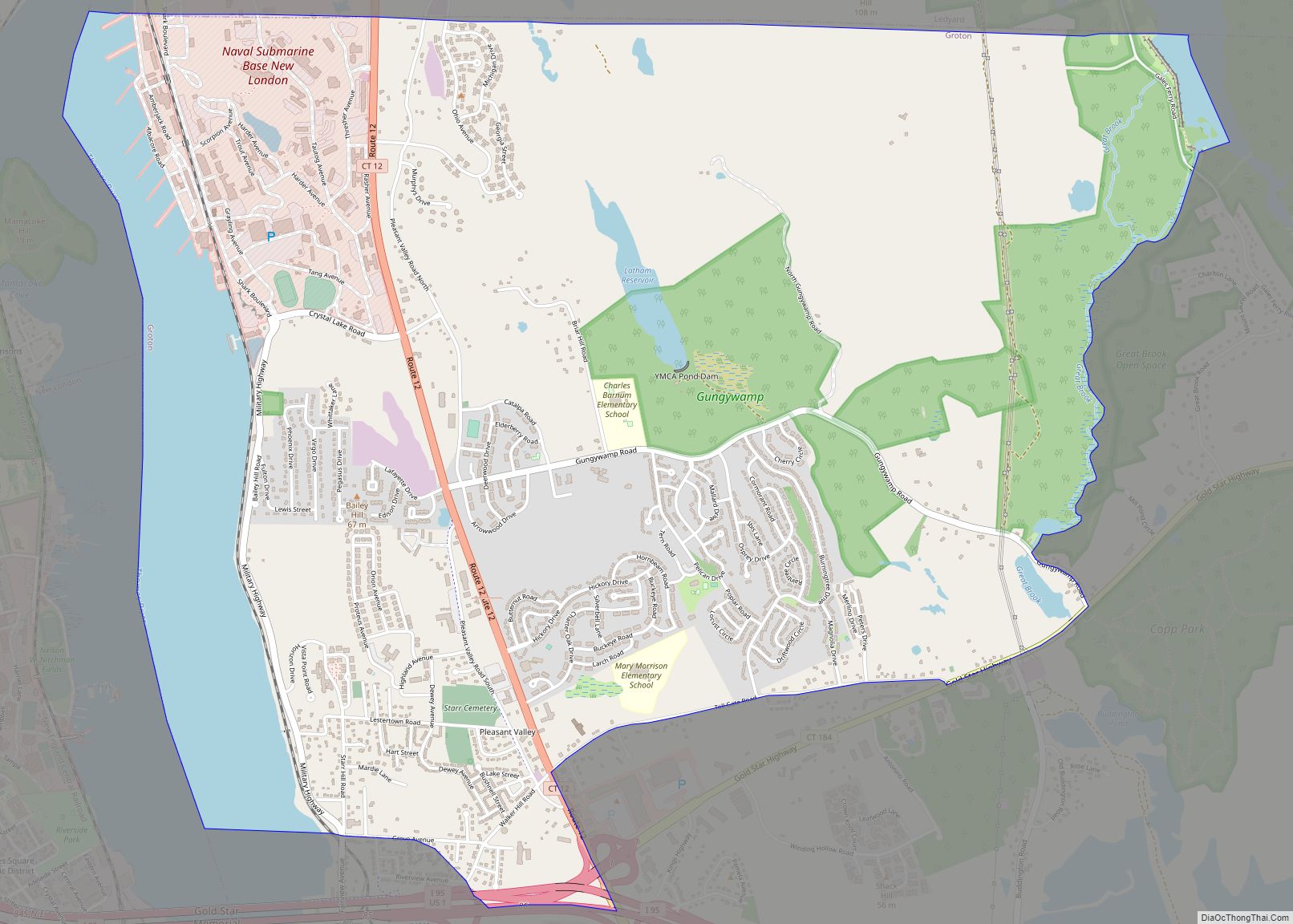
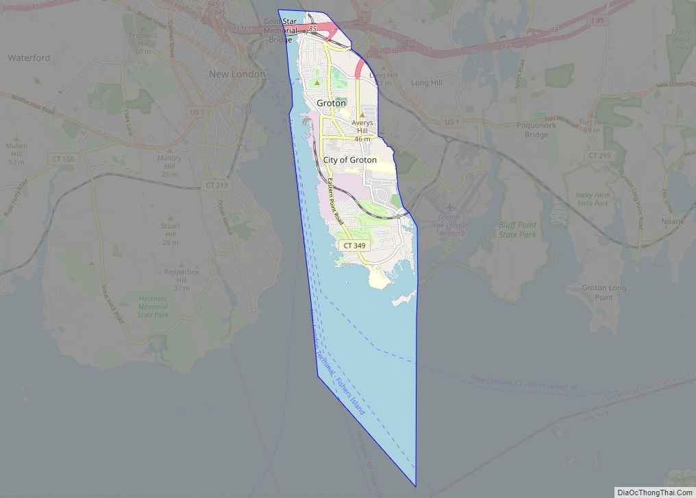
Groton /ˈɡrɒtən/ is a town in New London County, Connecticut located on the Thames River. It is the home of General Dynamics Electric Boat, which is the major contractor for submarine work for the United States Navy. The Naval Submarine Base New London is located in Groton, and the pharmaceutical company Pfizer is also a major employer. Avery Point in Groton is home to a regional campus of the University of Connecticut. The town is part of the Southeastern Connecticut Planning Region. The population was 38,411 at the 2020 census.
| Name: | Groton city |
|---|---|
| LSAD Code: | 25 |
| LSAD Description: | city (suffix) |
| State: | Connecticut |
| County: | New London County |
| Incorporated: | 1705 |
| Total Area: | 45.3 sq mi (117.3 km²) |
| Land Area: | 31.0 sq mi (80.4 km²) |
| Water Area: | 14.2 sq mi (36.9 km²) |
| Total Population: | 38,411 |
| Population Density: | 850/sq mi (330/km²) |
| ZIP code: | 06340 |
| Area code: | 860/959 |
| FIPS code: | 0934180 |
| GNISfeature ID: | 0213437 |
| Website: | www.groton-ct.gov |
Online Interactive Map
Click on ![]() to view map in "full screen" mode.
to view map in "full screen" mode.
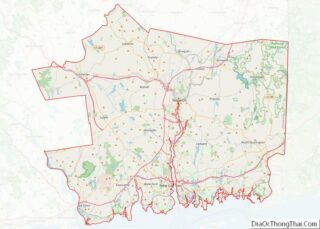
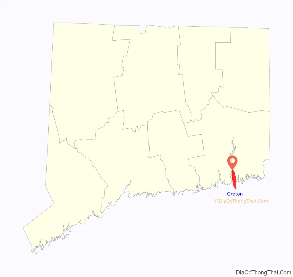
Groton location map. Where is Groton city?

History
Groton was established in 1705 when it separated from New London, Connecticut. The town was named after Groton, Suffolk in England. A hundred years before it was established, the Niantic people settled in the area between the Thames River and Pawcatuck River, but they eventually settled in Westerly, Rhode Island. The newcomers to the land were the Pequots, a branch of the Mohawk people who moved eastward into the Connecticut River Valley.
The summer of 1614 was the first time that the Pequots encountered white settlers. They started trading furs for the settlers’ goods, such as steel knives, needles, and boots. In 1633, the Dutch bought land from them and opened a fur trading post. Meanwhile, the English bought land for settlement from the local tribes. The Dutch had unintentionally killed the Pequots’ chief, and this prompted revenge by the Pequot tribe, and this escalated into the Pequot War (1636–1638). On the night of May 26, 1637, the Colonial forces arrived outside the Pequot village near the Mystic River. The palisade surrounding the village had only two exits, and their leader Colonel John Mason gave the order to set the village on fire and block off the exits. Those who tried climbing over the palisade were shot; anyone who succeeded in getting over was killed by the Narragansett forces.
The land was poor for farming, but access to the region’s waterways left room for commerce and trade, and Groton became a town of oceangoing settlers. Most of the community began to build ships, and soon traders made their way to Massachusetts Bay Colony and Plymouth Colony to trade for food, tools, weapons, and clothing. John Leeds was the earliest shipbuilder, coming as a sea captain from Kent, England. He built a 20-ton brigantine, a two-masted sailing ship with square-rigged sails on the foremast and fore-and-aft sails on the mainmast. Thomas Starr built a 67-ton square-sterned vessel, and Thomas Latham launched a 100-ton brig on the Groton bank with mast standing and fully rigged. The sturdy ships built in Groton engaged in highly profitable trade with the islands of the Caribbean.
American Revolution
On September 6, 1781, the Battle of Groton Heights was fought between a combined force of state troops and local militia led by William Ledyard and numerous British forces led by Benedict Arnold. No one at Fort Griswold had expected an attack, especially after six years of false alarms. At sunrise, a force of 1,700 British regulars landed on both sides of the mouth of the Thames River. The fleet had sailed from Long Island the evening before, and only a sudden shift in the wind prevented a surprise attack during the night; it was 9 a.m. the next day before the transports could come ashore to land the troops.
Across the Thames River in New London, Benedict Arnold was leading an 800-man detachment which destroyed stockpiles of goods and naval stores. His men set fire to a ship containing gunpowder which created an uncontrollable fire that destroyed most of New London. Meanwhile, a British force of 800 men moved toward Fort Griswold in Groton, which was garrisoned by 164 militia and local men. The British sent a flag of surrender to Fort Griswold, but Colonel William Ledyard refused and returned it. The British then attacked, initiating the Battle of Groton Heights. After an initial repulse, the British succeeded in entering the fort and overpowering the small garrison inside. Ledyard realized that his men were overpowered and surrendered to the British—who proceeded to kill Ledyard with his own sword and continue firing on the American garrison. Jonathan Rathbun described the surrender this way:
A memorial for the battle was erected in 1830 for the 85 Patriot soldiers who were killed at the fort. Fort Griswold is the only intact memorial in town left from the Revolutionary War. The 135-foot-tall (41 m) monument has become the town’s symbol and is now featured on the Groton town seal.
Early 19th century
Shortly after the Revolutionary War, Groton started to re-establish its commercial activities. Shipbuilders began to build again; Victory was launched in 1784, Success was launched in 1785, and five sloops were built in 1787, along with the 164-ton Nancy. Shipbuilders along the Mystic River were the busiest. These ships went on trips to Florida, and the resulting profits made Mystic the most thriving part of the town.
Between 1784 and 1800, 32 vessels were built in Groton. 28 more were built from 1800 to 1807, when business came to a sudden stop with the Embargo Act. In June 1812, the United States declared war on Great Britain. Most of the United States’ small navy was landlocked in the Thames River. This frightened the people in Groton for fear that there would be a repeat of the Groton Heights massacre of 1781, and many residents fled inland for safety. Those that did not flee demanded protection and militia. These residents built a fort on a hill of rock that held one cannon and maintained constant guard. The fort was named Fort Rachel, after a woman that lived nearby. The British never attacked but created a blockade that ruined Groton’s trade.
Some men from Mystic lured a British barge to Groton Long Point on August 12, 1814, the day after the British attacked Stonington, gaining themselves 2,600 dollars in prize money. The men in Mystic captured a sloop, the cargo of which they later sold for 6,000 dollars. Seventeen Mystic men also tried out a new weapon called the spar torpedo to rid themselves of the British blockade. They brought the torpedo from New York; it was 30 feet (9 m) long, 7 inches (18 cm) in diameter, and had a 12-foot (4 m) crossbar at one end. The men failed to sink HMS Ramillies. On their first attempt, the torpedo went into the water; on the second attempt, the explosive caught on Ramillies‘ cable and exploded. All the men made it safely to the shore while being fired at by the British ship and the American sentries at Eastern Point.
Groton received word that the war was over on February 21, 1815. The land-locked frigates left the Thames in April, leaving Groton to resume its marine pursuits.
After the War of 1812, whaling became a very important part of Groton’s economy, but most of the expeditions were still for seal skins. Before 1820, sealers went to Antarctica, where their ships would drop them off. They would kill the seals and then prepare the skins for some weeks, until their ship returned for them. By 1830, whaling had become Mystic’s main business. By 1846, Groton became one of the world’s prime whaling ports. Whaling was difficult and dangerous, but boys would go out to sea to make their fortune, nonetheless, in the hope that some of them would eventually come to command a vessel.
In 1865, Ebenezer Morgan made one of the most profitable voyages. He sold his cargo for $150,000. Three years later, he raised the first American flag on Alaskan territory, and there he collected 45,000 seal skins. When he retired, it was said that his estate totaled up to $1 million.
William H. Allen, another son of Groton, spent 25 years commanding a whale ship. Old sailors said that “whales rose to the surface and waited to be harpooned.” When he retired, he spent 12 years working as a selectman.
Late 19th century
In 1849, the discovery of gold in California created a demand for speed that resulted in the creation of the clipper ship, a fast sailing ship with multiple masts and a square rig. The most important vessel built at the Mystic River Shipyard was the clipper ship Andrew Jackson. In 1859, it sailed from New York City to San Francisco in a record time of 89 days and 4 hours. Both clippers and sailing packets were built in the shipyards of the Mystic River at that time. The Mystic shipyards started building ships with a greater cargo capacity after the Civil War.
Gideon Welles, Secretary of the Navy during the Civil War, wanted three experimental ironclad steamers to be built in private shipyards and used against the Confederacy’s wooden fleet. A company in Groton was chosen to build a bomb-proof steamer designed by C.S. Bushnell of New Haven. 100 men were hired, and a big shed was built so that construction could continue rain or shine. The ship was ready for launching in 130 days. There were many skeptics who believed that the ship would sink or corrode once it hit the salt water, and there were very few who thought that it might float. Thousands came to watch Galena’s launch on Valentine’s Day 1862. Reporters commented that she floated like a duck. When it came time for Galena to enter battle, she was pierced 13 times. Thirteen of the crew members were killed and 11 were wounded from flying metal fragments. During the Civil War, 56 steamships were built for government service in shipyards on both sides of the Mystic River.
After the war, there were dozens of excess war steamships and, after 1870, shipbuilding moved up to Noank within the Groton town limits. One of the largest shipyards was Palmer Shipyard, established in Noank in 1827. A marine railway built in Groton in 1860 allowed them to pull vessels out of the water for repairs, which brought in a lot of business and money. The shipyard was running up to 1913 when one of the Palmer brothers died, but during World War I the shipyard was used again. Iron ships began to be demanded, and their construction attracted workers to Groton. Housing was beginning to run short, so Groton Realty had to hurry to build hotels and cottages. The ships which brought the workers in turn also brought more business to the Realty.
The Naval Submarine Base New London was founded in Groton in 1872 as the New London Navy Yard. Submarines were first based there in 1915, and in 1916 it was officially renamed a submarine base.
Groton used to include what is now the town of Ledyard, which separated from Groton in 1836. The original center of Groton is still known as Center Groton at the present-day intersection of Route 184 and Route 117, now in the north-central part of town, due to the departure of Ledyard to the north. Groton Center was the location of the town’s first school, church, tavern, and stagecoach shop.
20th century
In the 20th century, the shipbuilding industry moved from the Mystic River to the Thames River. Electric Boat is the town’s largest employer. However, until 1931, submarines designed by Electric Boat were subcontracted to other shipyards, primarily Fore River Shipbuilding in Quincy, Massachusetts. Electric Boat commenced industrial operations in Groton with the establishment of the New London Ship and Engine Company (NELSECO) as a subsidiary in 1911. NELSECO was the primary engine manufacturer for Electric Boat-designed submarines 1911–1925. In 1931, USS Cuttlefish was laid down as the first submarine built in Groton. During World War II, Electric Boat completed submarines every two weeks.
In 1954, Electric Boat launched USS Nautilus, the world’s first nuclear-powered submarine. Presently, Nautilus is decommissioned and open for visitors, permanently berthed at the U.S. Navy Submarine Force Library and Museum. Groton is sometimes referred to as the “Submarine Capital of the World,” due to the long-standing history of submarines in the town, and the fact that Groton has one of the largest submarine bases in the world. The National World War II Submarine Memorial East is located in Groton, including parts of USS Flasher.
The Groton and Stonington Street Railway was a trolley line that was created in 1904 to serve the Groton area. The trolley was dismantled and replaced by buses in 1928.
Groton Road Map

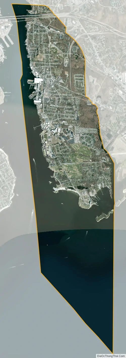
Groton city Satellite Map
Geography
According to the United States Census Bureau, the town has a total area of 45.3 square miles (117.3 km), of which 31.0 square miles (80.4 km) is land and 14.2 square miles (36.9 km), or 31.47%, is water.
Principal communities
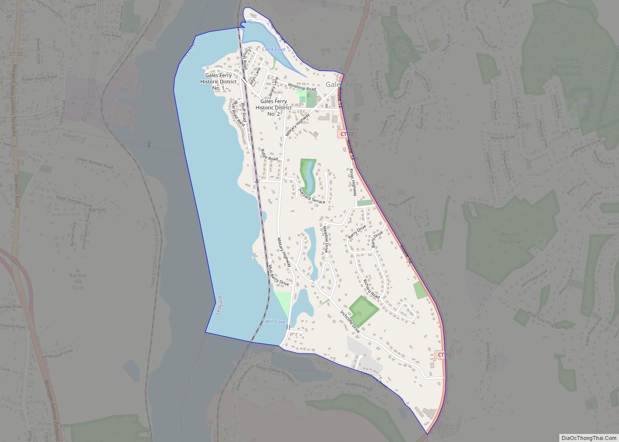
- Burnett’s Corner — historic district located along Packer Road south of Route 184
- Center Groton
- City of Groton — located along the Thames River
- Groton Heights or Groton Bank — historic district in the northern part of the city area
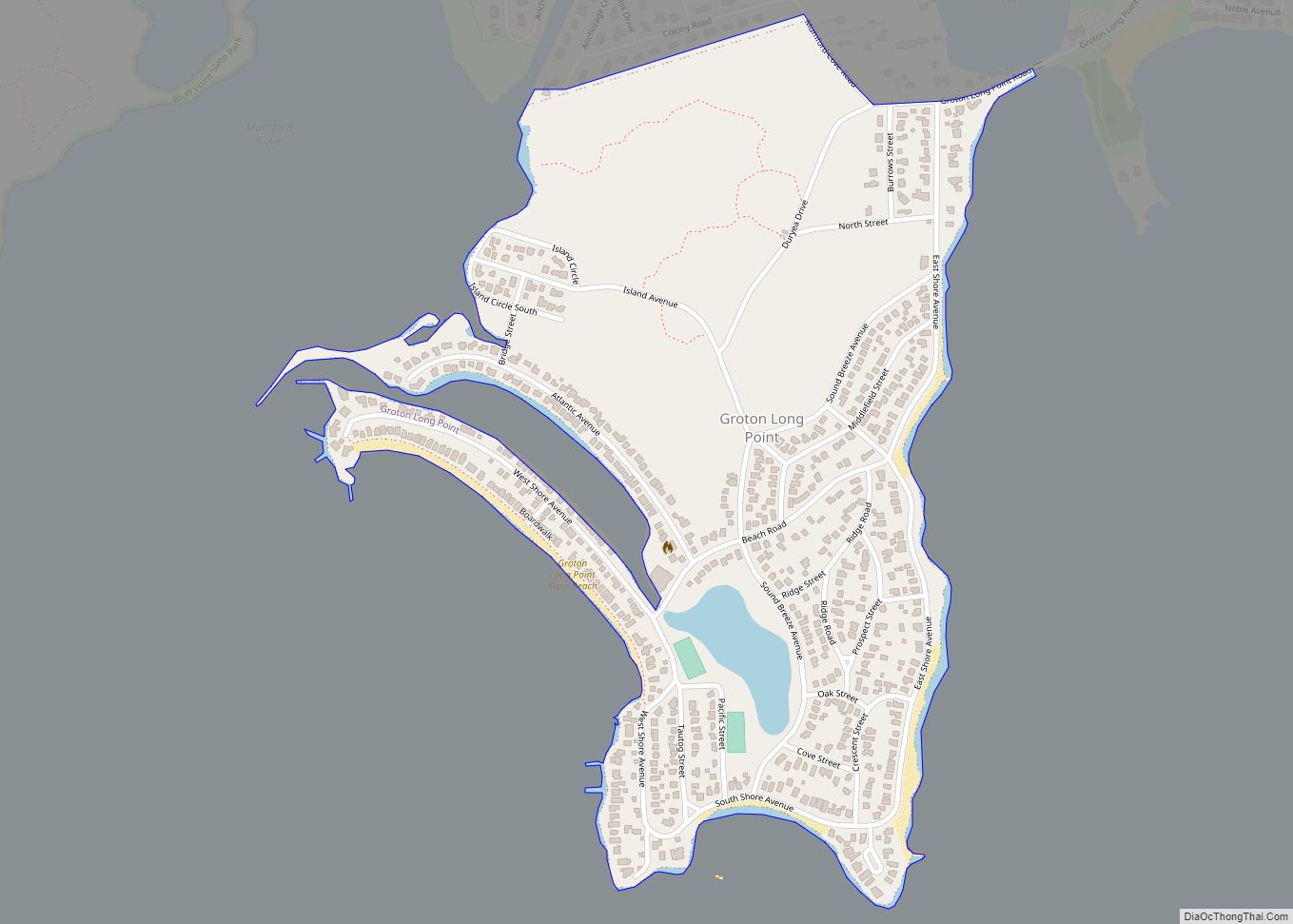
- Groton Long Point
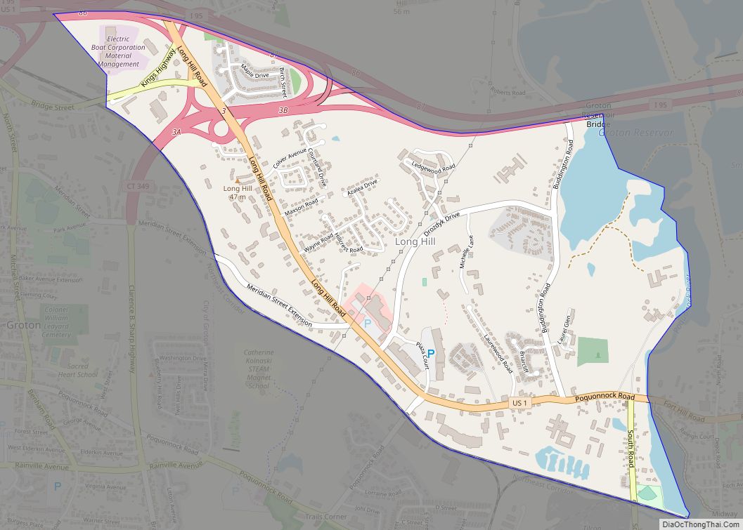
- Long Hill
- Mystic (06355) — primarily in the neighboring town of Stonington, but a small portion (West Mystic) is in Groton
- Noank
- Old Mystic
- Poquonnock Bridge
- Fort Hill
- Submarine Base area (Census designation: “Conning Towers-Nautilus Park”)
Other minor communities and geographic features are Bluff Point, Eastern Point, Esker Point, Jupiter Point, Mumford Cove, and West Pleasant Valley.
Climate
Groton has a humid continental climate (Dfb).
See also
Map of Connecticut State and its subdivision: Map of other states:- Alabama
- Alaska
- Arizona
- Arkansas
- California
- Colorado
- Connecticut
- Delaware
- District of Columbia
- Florida
- Georgia
- Hawaii
- Idaho
- Illinois
- Indiana
- Iowa
- Kansas
- Kentucky
- Louisiana
- Maine
- Maryland
- Massachusetts
- Michigan
- Minnesota
- Mississippi
- Missouri
- Montana
- Nebraska
- Nevada
- New Hampshire
- New Jersey
- New Mexico
- New York
- North Carolina
- North Dakota
- Ohio
- Oklahoma
- Oregon
- Pennsylvania
- Rhode Island
- South Carolina
- South Dakota
- Tennessee
- Texas
- Utah
- Vermont
- Virginia
- Washington
- West Virginia
- Wisconsin
- Wyoming