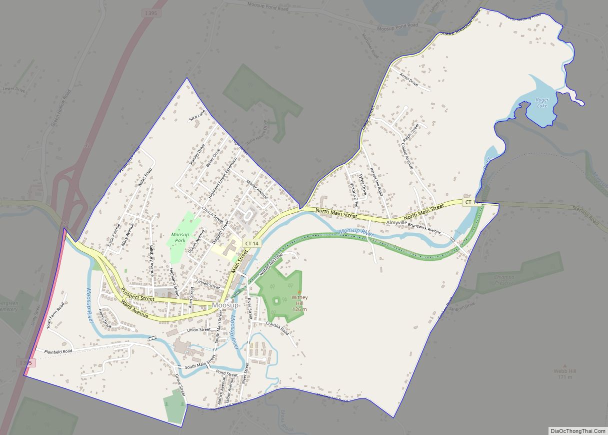
Moosup is a village and census-designated place (CDP) in the town of Plainfield, Connecticut in the United States. The population was 3,231 at the 2010 census.
| Name: | Moosup CDP |
|---|---|
| LSAD Code: | 57 |
| LSAD Description: | CDP (suffix) |
| State: | Connecticut |
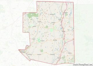
| County: | Windham County |
| Elevation: | 246 ft (75 m) |
| Total Area: | 2.3 sq mi (6 km²) |
| Land Area: | 2.2 sq mi (6 km²) |
| Water Area: | 0.04 sq mi (0.1 km²) |
| Total Population: | 3,231 |
| Population Density: | 1,400/sq mi (540/km²) |
| ZIP code: | 06354 |
| Area code: | 860 |
| FIPS code: | 0949180 |
Online Interactive Map
Click on ![]() to view map in "full screen" mode.
to view map in "full screen" mode.
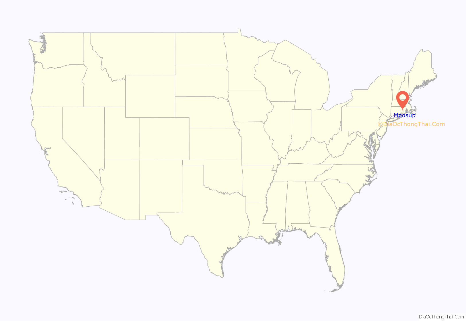
Moosup location map. Where is Moosup CDP?

History
Moosup is named after the Native American sachem Maussup/Moosup of the Narragansett Tribe. The town wherein the village of Moosup is located was established a decade after Sachem Maussup’s death at the hands of Mohawk forces.
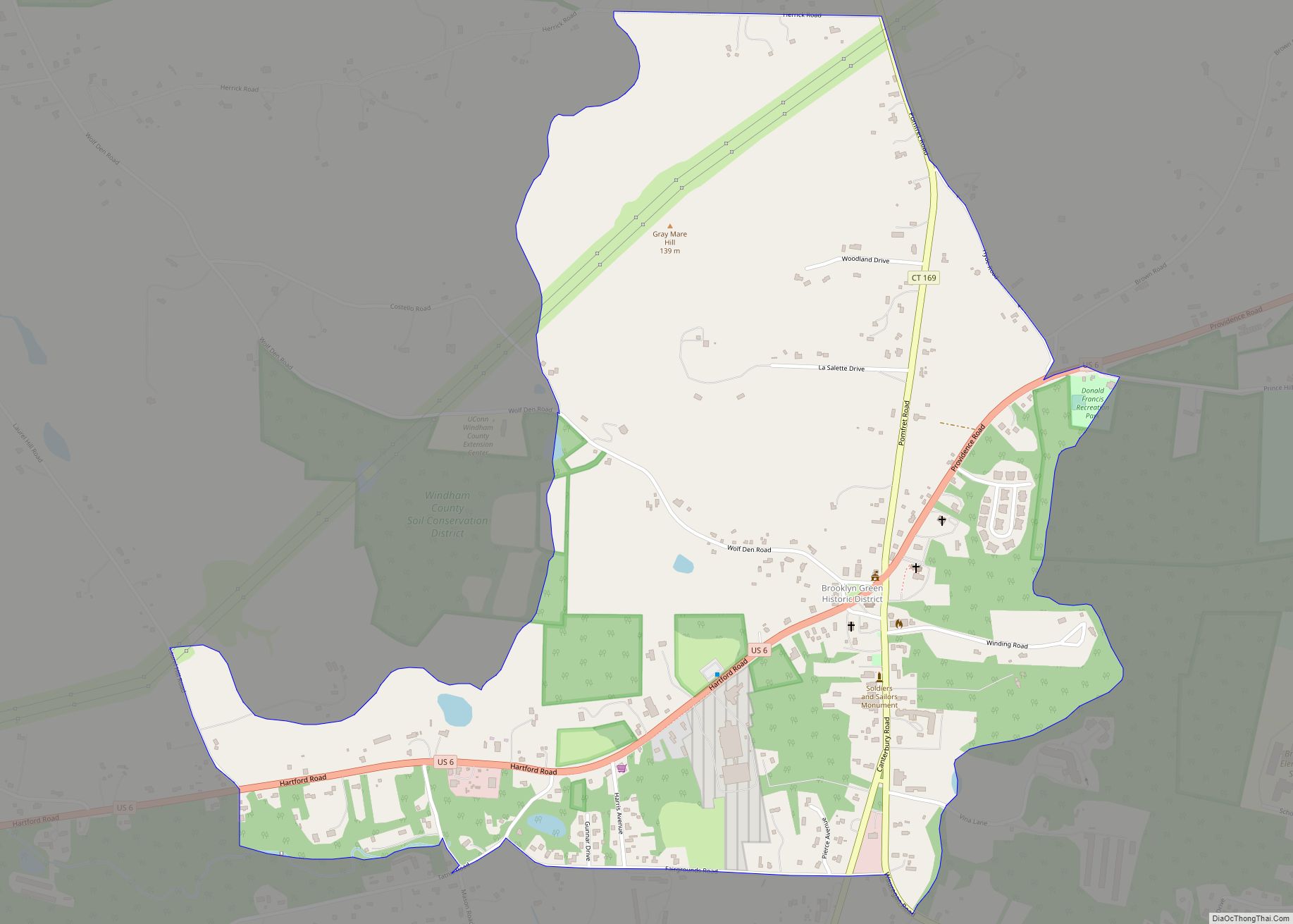
Moosup Road Map
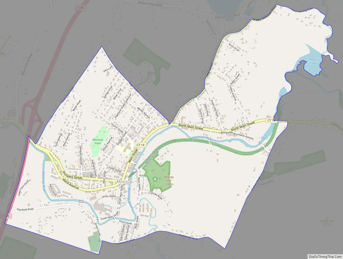
Moosup city Satellite Map

Geography
According to the United States Census Bureau, the CDP has a total area of 2.3 square miles (6.0 km), of which, 2.2 square miles (5.7 km) of it is land and 0.04 square miles (0.10 km) of it (0.85%) is water.
See also
Map of Connecticut State and its subdivision: Map of other states:- Alabama
- Alaska
- Arizona
- Arkansas
- California
- Colorado
- Connecticut
- Delaware
- District of Columbia
- Florida
- Georgia
- Hawaii
- Idaho
- Illinois
- Indiana
- Iowa
- Kansas
- Kentucky
- Louisiana
- Maine
- Maryland
- Massachusetts
- Michigan
- Minnesota
- Mississippi
- Missouri
- Montana
- Nebraska
- Nevada
- New Hampshire
- New Jersey
- New Mexico
- New York
- North Carolina
- North Dakota
- Ohio
- Oklahoma
- Oregon
- Pennsylvania
- Rhode Island
- South Carolina
- South Dakota
- Tennessee
- Texas
- Utah
- Vermont
- Virginia
- Washington
- West Virginia
- Wisconsin
- Wyoming