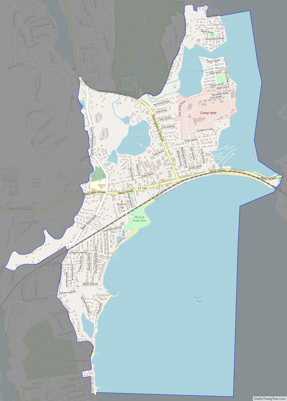
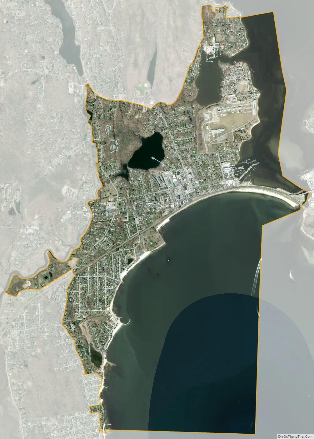
Niantic is a census-designated place (CDP) and village in the town of East Lyme, Connecticut in the United States. The population was 3,114 at the 2010 census. It is located on Long Island Sound, the Millstone Nuclear Power Plant in nearby Waterford is visible on the bay’s eastern horizon line, Rocky Neck State Park is also located in the area. Niantic was once famous for its Niantic River scallops, but the scallop population has been in decline for a number of years.
| Name: | Niantic CDP |
|---|---|
| LSAD Code: | 57 |
| LSAD Description: | CDP (suffix) |
| State: | Connecticut |
| County: | New London County |
| Total Area: | 3.5 sq mi (9 km²) |
| Land Area: | 1.5 sq mi (4 km²) |
| Water Area: | 2.1 sq mi (5 km²) |
| Total Population: | 3,114 |
| Population Density: | 890/sq mi (340/km²) |
| ZIP code: | 06357 |
| Area code: | 860 |
| FIPS code: | 0953120 |
| Website: | eltownhall.com |
Online Interactive Map
Click on ![]() to view map in "full screen" mode.
to view map in "full screen" mode.
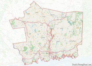
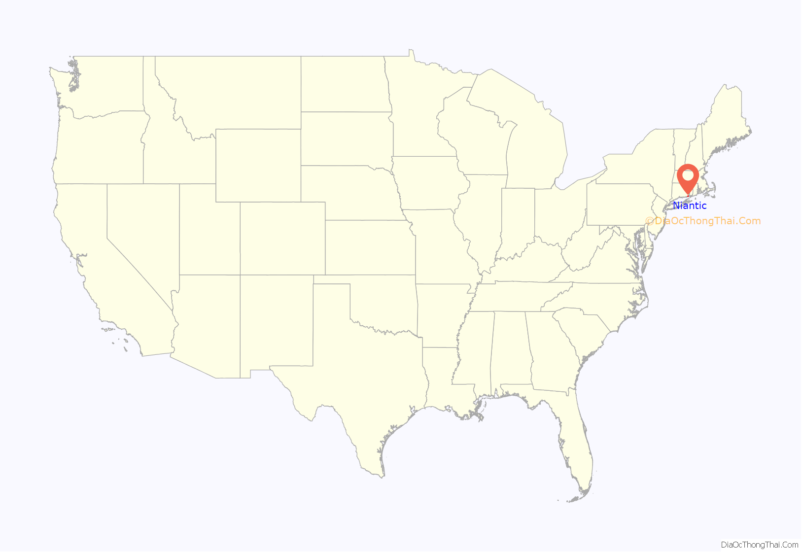
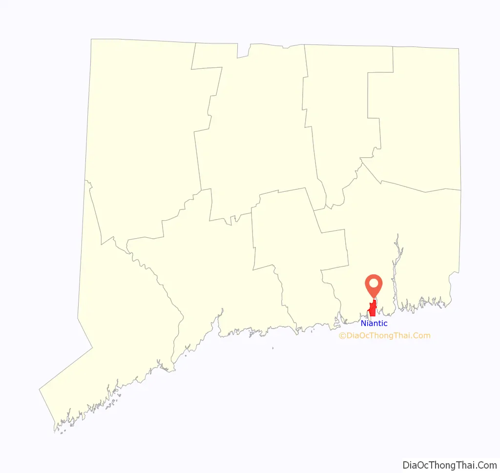
Niantic location map. Where is Niantic CDP?
Niantic Road Map
Niantic city Satellite Map
Geography
According to the United States Census Bureau, the CDP has a total area of 3.5 square miles (9.1 km), of which 1.5 square miles (3.8 km) is land and 2.1 square miles (5.4 km), or 58.64%, is water.
See also
Map of Connecticut State and its subdivision: Map of other states:- Alabama
- Alaska
- Arizona
- Arkansas
- California
- Colorado
- Connecticut
- Delaware
- District of Columbia
- Florida
- Georgia
- Hawaii
- Idaho
- Illinois
- Indiana
- Iowa
- Kansas
- Kentucky
- Louisiana
- Maine
- Maryland
- Massachusetts
- Michigan
- Minnesota
- Mississippi
- Missouri
- Montana
- Nebraska
- Nevada
- New Hampshire
- New Jersey
- New Mexico
- New York
- North Carolina
- North Dakota
- Ohio
- Oklahoma
- Oregon
- Pennsylvania
- Rhode Island
- South Carolina
- South Dakota
- Tennessee
- Texas
- Utah
- Vermont
- Virginia
- Washington
- West Virginia
- Wisconsin
- Wyoming