Noank (/ˈnoʊɪŋk/ NOH-ink) is a village in the town of Groton, Connecticut. This dense community of historic homes and local businesses sits on a small, steep peninsula at the mouth of the Mystic River with a long tradition of fishing, lobstering and boat-building. The village is listed as a historic district on the National Register of Historic Places and is the home of multiple seaside lobster shacks and oyster aquaculture operations. The population was 1,796 at the 2010 census.
| Name: | Noank CDP |
|---|---|
| LSAD Code: | 57 |
| LSAD Description: | CDP (suffix) |
| State: | Connecticut |
| County: | New London County |
| Elevation: | 75 ft (23 m) |
| Total Area: | 2.2 sq mi (5.7 km²) |
| Land Area: | 1.5 sq mi (4.0 km²) |
| Water Area: | 0.7 sq mi (1.7 km²) |
| Total Population: | 1,796 |
| Population Density: | 820/sq mi (320/km²) |
| ZIP code: | 06340 |
| Area code: | 860 |
| FIPS code: | 0953260 |
Online Interactive Map
Click on ![]() to view map in "full screen" mode.
to view map in "full screen" mode.
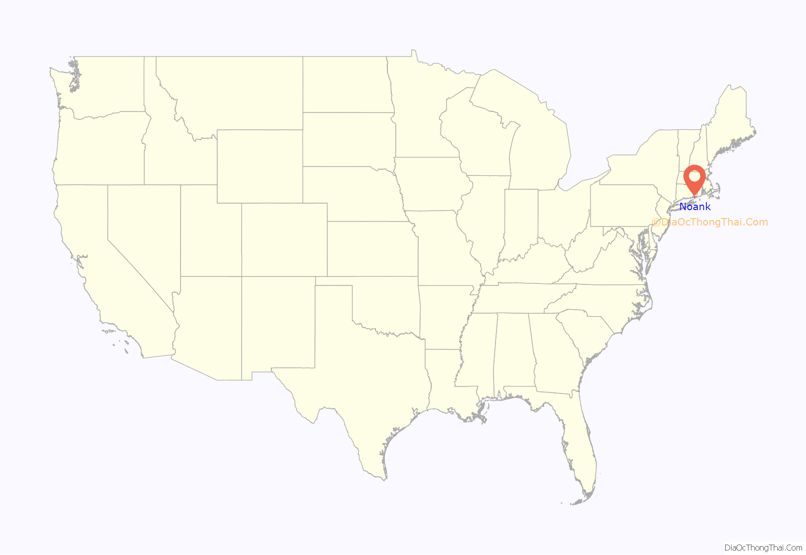
Noank location map. Where is Noank CDP?
History
In 1614, the area was known as Nauyang (meaning “point of land”) and was a summer camping ground of the Pequot people, but they were driven out in 1655 following the Pequot War. The land comprising Noank Peninsula was acquired by James Morgan through a lottery in 1712.
The community grew from a tradition of fishing, lobstering, and boat-building. In 1861, Charles Mallory and Elihu Spicer, Jr. established the C. H. Mallory and Company Steamship line. In 1879, Robert Palmer put steam railways into his shipbuilding plant in Noank. His company became one of the largest in the United States at the time for making wooden ships, building one thousand vessels ranging from fishing boats to sound steamers. The fishing sailboat type known as the “Noank Smack” is indigenous to this village, such as the Emma C. Berry preserved at the Mystic Seaport. Around 1912, the Connecticut State Lobster Hatchery was established in Noank. Today, the village has several marinas, including one with 158 slips.
Noank hosts one of the longest running continuous Memorial Day parades in the country, held annually since 1876. The majority of the community was listed on the National Register of Historic Places in 1979 as a historic district, including houses and businesses dating back to 1840. The significance of the historic district is primarily in the domestic architecture preserved in about 260 houses. Scenes for the movie Mystic Pizza were filmed at Ford’s Lobsters in Noank.
Noank Road Map
Noank city Satellite Map
See also
Map of Connecticut State and its subdivision: Map of other states:- Alabama
- Alaska
- Arizona
- Arkansas
- California
- Colorado
- Connecticut
- Delaware
- District of Columbia
- Florida
- Georgia
- Hawaii
- Idaho
- Illinois
- Indiana
- Iowa
- Kansas
- Kentucky
- Louisiana
- Maine
- Maryland
- Massachusetts
- Michigan
- Minnesota
- Mississippi
- Missouri
- Montana
- Nebraska
- Nevada
- New Hampshire
- New Jersey
- New Mexico
- New York
- North Carolina
- North Dakota
- Ohio
- Oklahoma
- Oregon
- Pennsylvania
- Rhode Island
- South Carolina
- South Dakota
- Tennessee
- Texas
- Utah
- Vermont
- Virginia
- Washington
- West Virginia
- Wisconsin
- Wyoming
