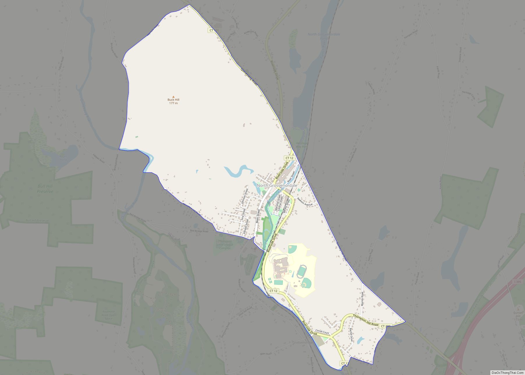
North Grosvenordale (/ˈɡroʊvənərdeɪl/ GROH-vən-ər-dayl) is a village and census-designated place (CDP) in the town of Thompson in Windham County, Connecticut, United States. The population was 1,530 at the 2010 census. The core of the village is listed as the North Grosvenordale Mill Historic District on the National Register of Historic Places. The historic area around the cotton mill was listed in 1993 and is located on Riverside Drive (Route 12), Buckley Hill Road, Floral Avenue, Market Lane, and Marshall, Central, River, and Holmes Streets.
| Name: | North Grosvenor Dale CDP |
|---|---|
| LSAD Code: | 57 |
| LSAD Description: | CDP (suffix) |
| State: | Connecticut |
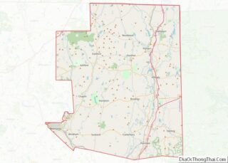
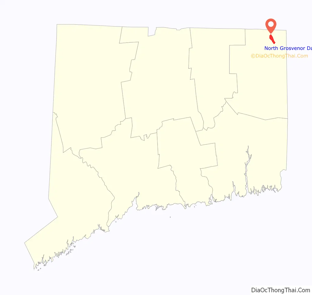
| County: | Windham County |
| FIPS code: | 0954730 |
Online Interactive Map
Click on ![]() to view map in "full screen" mode.
to view map in "full screen" mode.
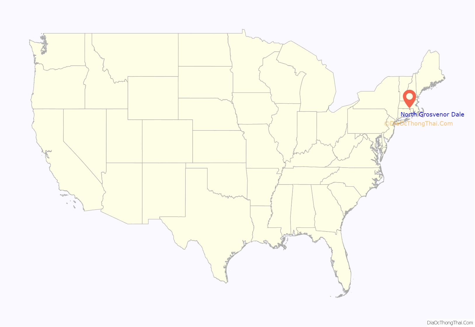
North Grosvenor Dale location map. Where is North Grosvenor Dale CDP?
History
North Grosvenordale was the site of early small textile mills, probably erected in the early years of the 19th century. The mill located here remained relatively small until after the American Civil War, when it and the associated water privileges were purchased by William Grosvenor, an investor from Providence, Rhode Island. Grosvenor also purchased a second mill further south, where he built a large new mill in 1868, calling that village Grosvenordale. When he built the large brick mill standing here in 1872, he renamed this village North Grosvenordale. This mill produced fine cotton fabrics, and was one of the longest-lived and most successful textile businesses in northeastern Connecticut.
Grosvenor also built significant tracts of worker housing on either side of the river. Most of these are multiple-family buildings with vernacular Greek Revival style. They were occupied in clusters by different groups of immigrant workers, giving rise to neighborhood names such as “Little Canada” and “Swede Village”. The company also built some higher-quality single-family houses at the north end of the village, which were probably occupied by skilled specialists and supervisors. The mills operated until 1954, and have been adapted to other industrial uses. The mill and surrounding company-related resources (an area of about 70 acres (28 ha) with more than 100 buildings), was listed on the National Register of Historic Places in 1993.
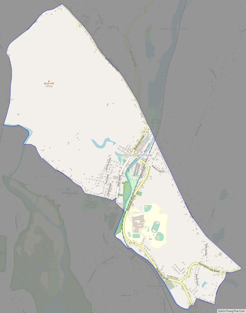
North Grosvenor Dale Road Map
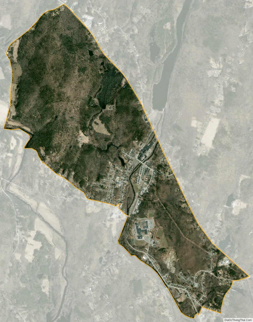
North Grosvenor Dale city Satellite Map
Geography
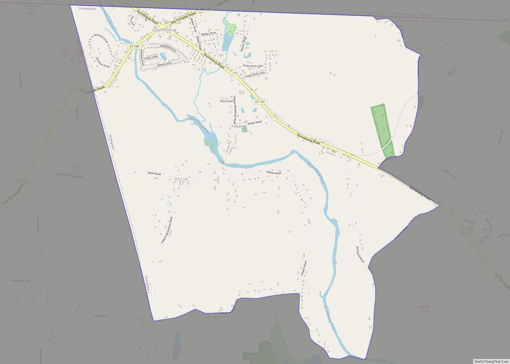
According to the United States Census Bureau, the CDP has a total area of 5.8 km (2.2 mi), all land. It is located in central Thompson, on the banks of the French River. The main road passing through the village is Connecticut Route 12, which roughly parallels the river’s north–south course.
See also
Map of Connecticut State and its subdivision: Map of other states:- Alabama
- Alaska
- Arizona
- Arkansas
- California
- Colorado
- Connecticut
- Delaware
- District of Columbia
- Florida
- Georgia
- Hawaii
- Idaho
- Illinois
- Indiana
- Iowa
- Kansas
- Kentucky
- Louisiana
- Maine
- Maryland
- Massachusetts
- Michigan
- Minnesota
- Mississippi
- Missouri
- Montana
- Nebraska
- Nevada
- New Hampshire
- New Jersey
- New Mexico
- New York
- North Carolina
- North Dakota
- Ohio
- Oklahoma
- Oregon
- Pennsylvania
- Rhode Island
- South Carolina
- South Dakota
- Tennessee
- Texas
- Utah
- Vermont
- Virginia
- Washington
- West Virginia
- Wisconsin
- Wyoming