Oxoboxo River /ˈɑːksoʊˌbɑːksoʊ/ is a census-designated place (CDP) in the town of Montville in New London County, Connecticut, United States. The population was 2,938 at the 2000 census and 3,165 at the 2010 census. The statistical area encompasses the town center of Montville, as well as the adjacent villages of Palmertown and Uncasville. The name of the statistical area is from the river of the same name running through the CDP.
The U.S. Postal Service includes the entire area of the CDP in ZIP code 06382, for which the USPS uses “Uncasville” as the place name. The Uncasville ZIP code also encompasses the Mohegan reservation, including the Mohegan Sun casino complex, and other parts of Montville.
| Name: | Oxoboxo River CDP |
|---|---|
| LSAD Code: | 57 |
| LSAD Description: | CDP (suffix) |
| State: | Connecticut |
| County: | New London County |
| Elevation: | 138 ft (42 m) |
| Total Area: | 4.5 sq mi (11.6 km²) |
| Land Area: | 4.3 sq mi (11.0 km²) |
| Water Area: | 0.2 sq mi (0.6 km²) |
| Total Population: | 3,165 |
| Population Density: | 700/sq mi (270/km²) |
| ZIP code: | 06382 |
| Area code: | 860 |
| FIPS code: | 0958520 |
Online Interactive Map
Click on ![]() to view map in "full screen" mode.
to view map in "full screen" mode.
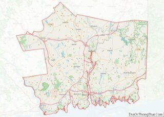
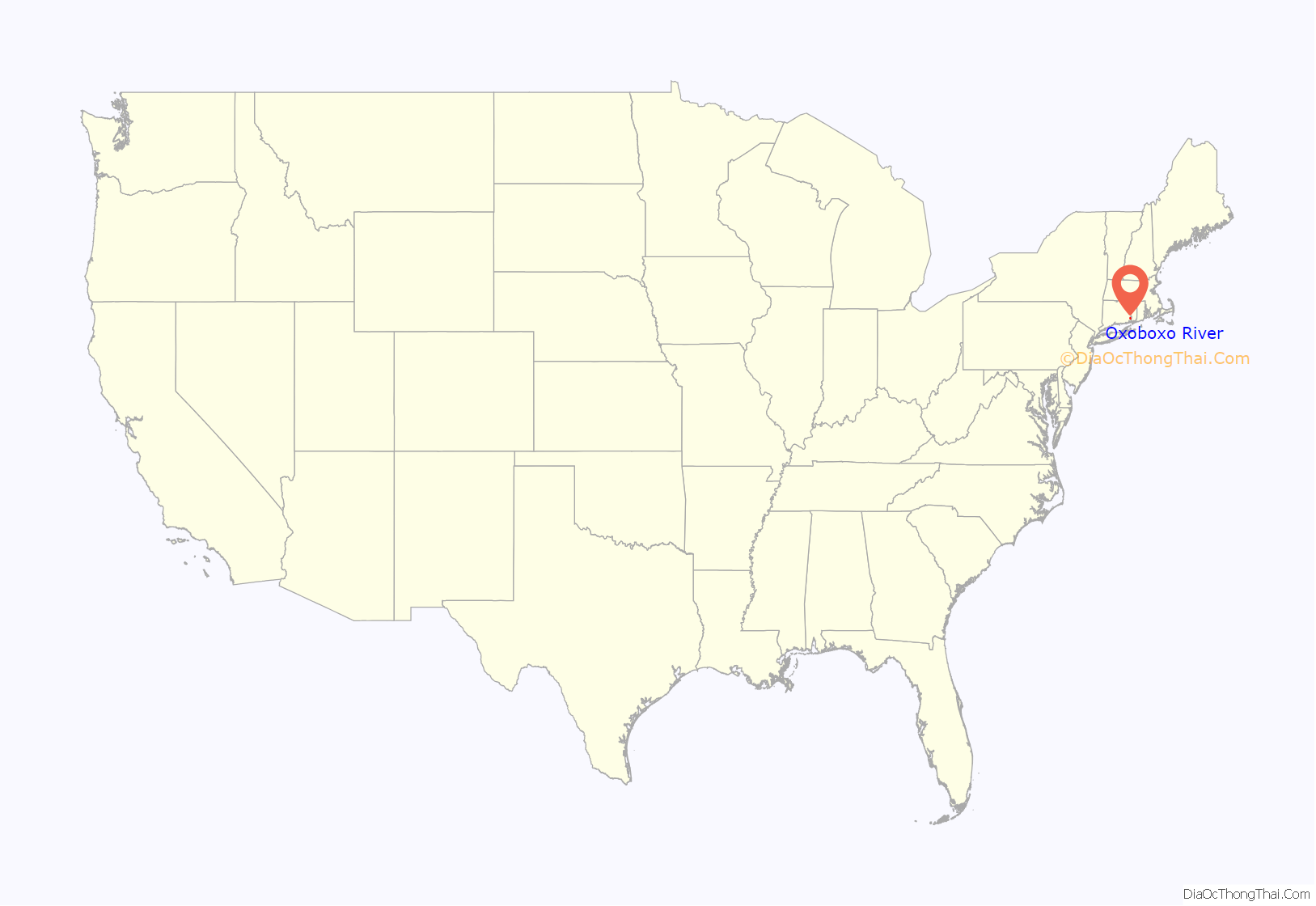
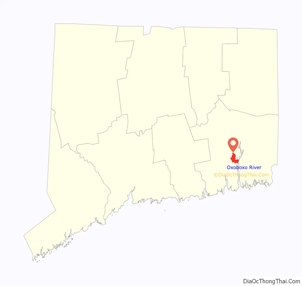
Oxoboxo River location map. Where is Oxoboxo River CDP?
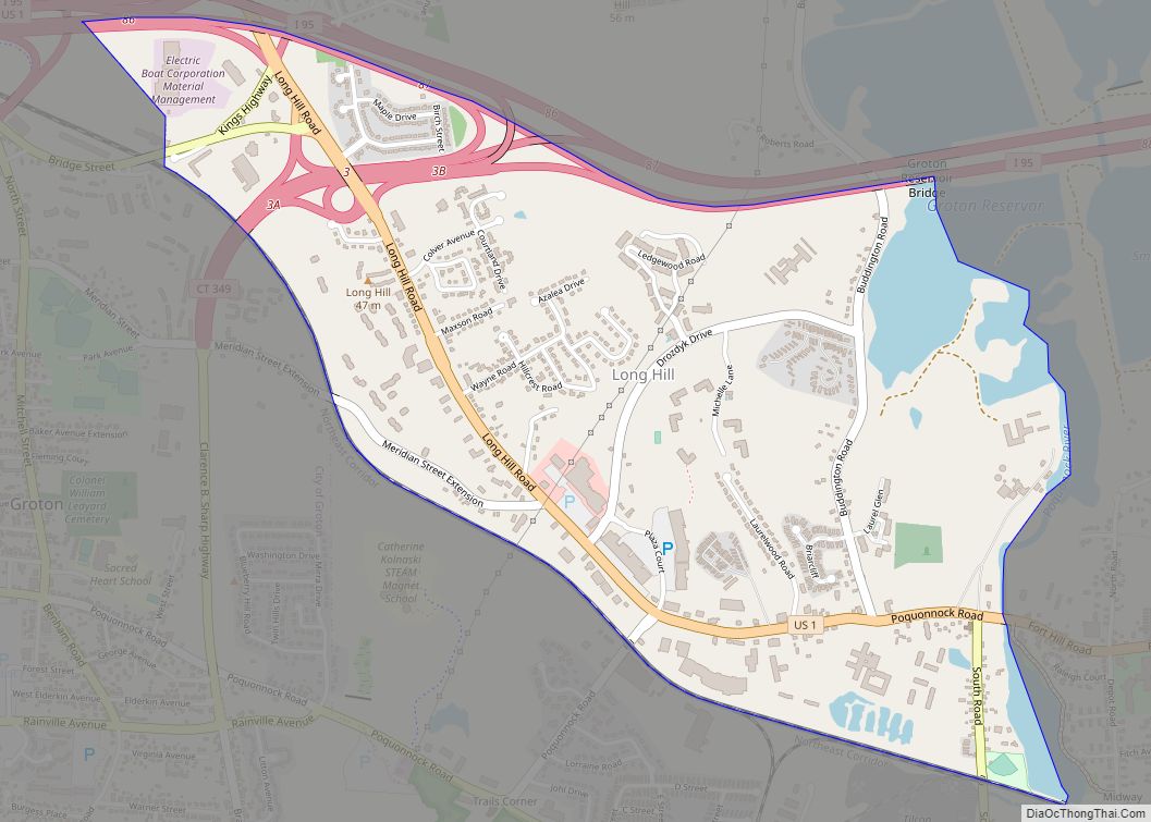
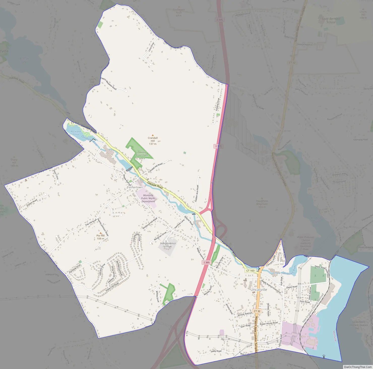
Oxoboxo River Road Map
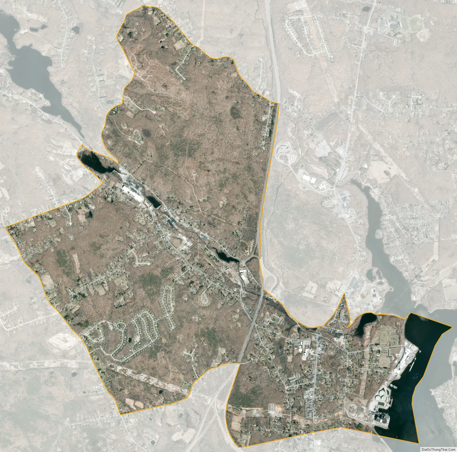
Oxoboxo River city Satellite Map
Geography
The CDP takes its name from the Oxoboxo River, a tributary of the Thames River that flows through the CDP. According to the United States Census Bureau, the CDP has a total area of 11.6 km (4.5 mi), of which 11.0 km (4.3 mi) is land and 0.6 km (0.2 mi) (5.1%) is water.
See also
Map of Connecticut State and its subdivision: Map of other states:- Alabama
- Alaska
- Arizona
- Arkansas
- California
- Colorado
- Connecticut
- Delaware
- District of Columbia
- Florida
- Georgia
- Hawaii
- Idaho
- Illinois
- Indiana
- Iowa
- Kansas
- Kentucky
- Louisiana
- Maine
- Maryland
- Massachusetts
- Michigan
- Minnesota
- Mississippi
- Missouri
- Montana
- Nebraska
- Nevada
- New Hampshire
- New Jersey
- New Mexico
- New York
- North Carolina
- North Dakota
- Ohio
- Oklahoma
- Oregon
- Pennsylvania
- Rhode Island
- South Carolina
- South Dakota
- Tennessee
- Texas
- Utah
- Vermont
- Virginia
- Washington
- West Virginia
- Wisconsin
- Wyoming