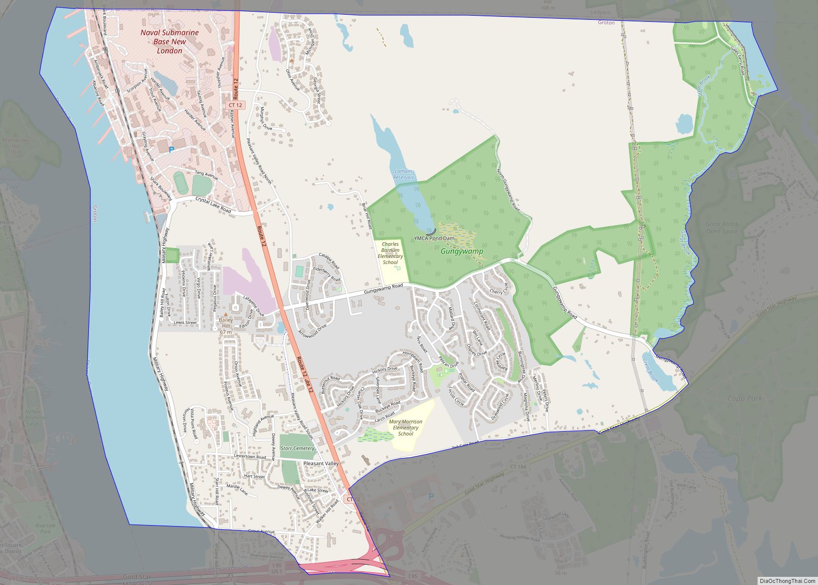
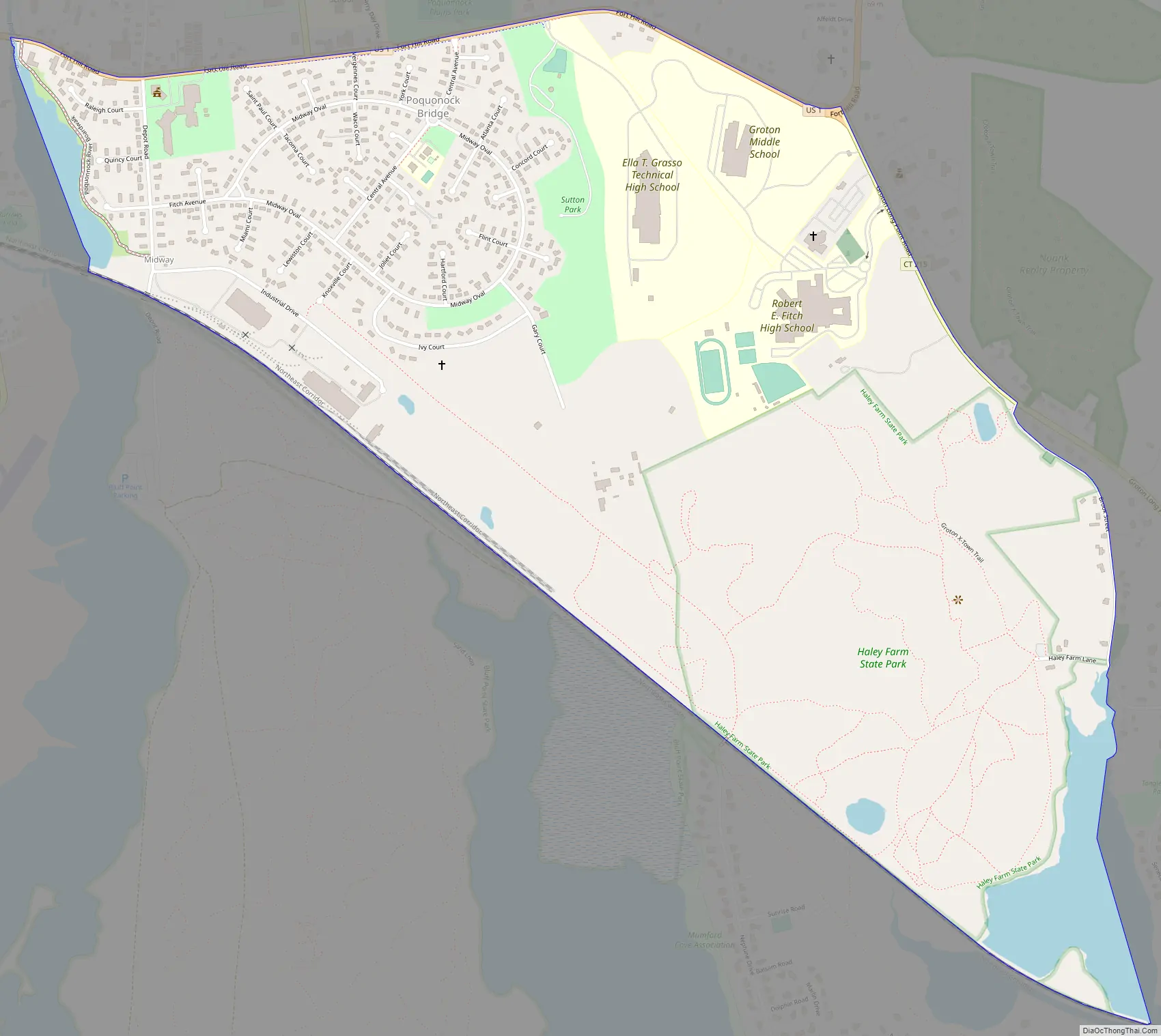
Poquonnock Bridge is a village and census-designated place (CDP) in the town of Groton in New London County, Connecticut, United States. The population was 1,727 at the 2010 census.
The village is located just east of the head of the Poquonnock River near the intersection of U.S. Route 1 and Connecticut Route 117. The village was first settled in 1652–53 by James Morgan, James Avery, and Nehemiah Smith. The Groton Town Hall is located in the village.
| Name: | Poquonock Bridge CDP |
|---|---|
| LSAD Code: | 57 |
| LSAD Description: | CDP (suffix) |
| State: | Connecticut |
| County: | New London County |
| Elevation: | 98 ft (30 m) |
| Total Area: | 1.4 sq mi (3.7 km²) |
| Land Area: | 1.4 sq mi (3.5 km²) |
| Water Area: | 0.077 sq mi (0.2 km²) |
| Total Population: | 1,727 |
| Population Density: | 1,200/sq mi (470/km²) |
| ZIP code: | 06340 |
| Area code: | 860 |
| FIPS code: | 0961730 |
Online Interactive Map
Click on ![]() to view map in "full screen" mode.
to view map in "full screen" mode.
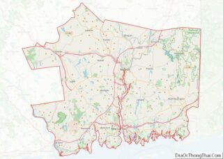
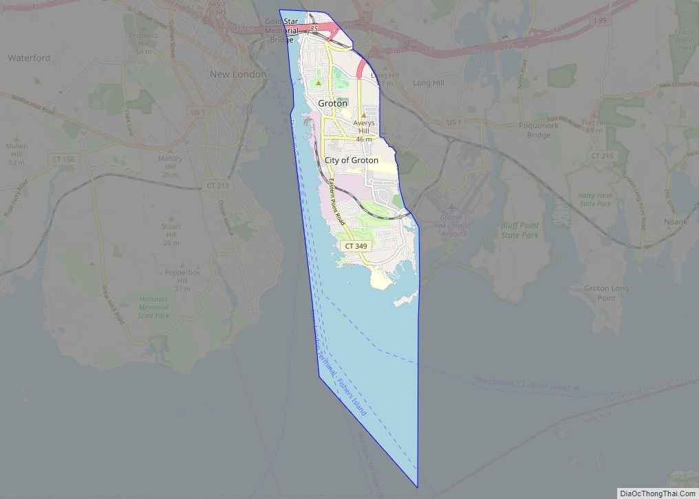
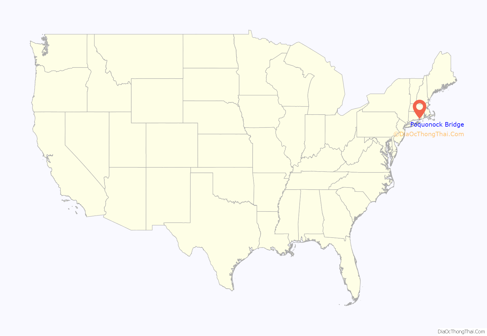
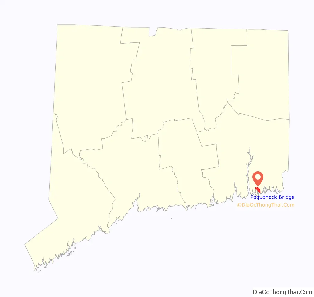
Poquonock Bridge location map. Where is Poquonock Bridge CDP?
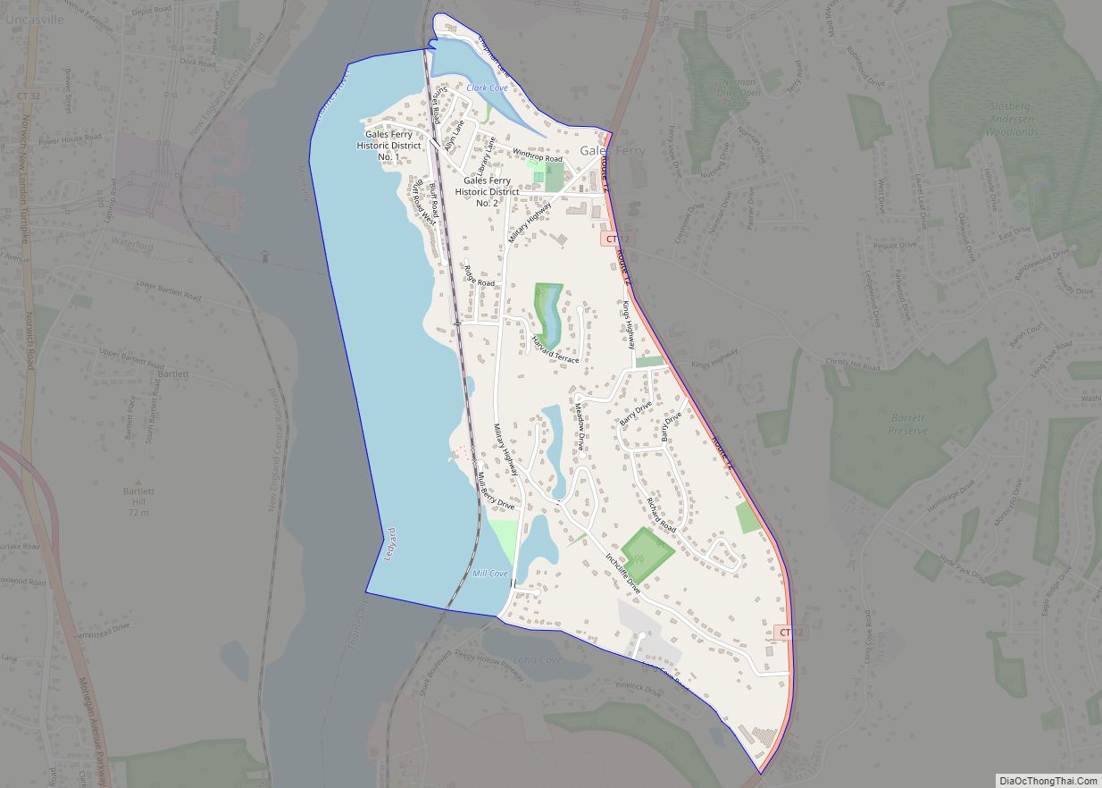
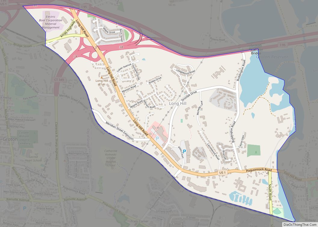
Poquonock Bridge Road Map
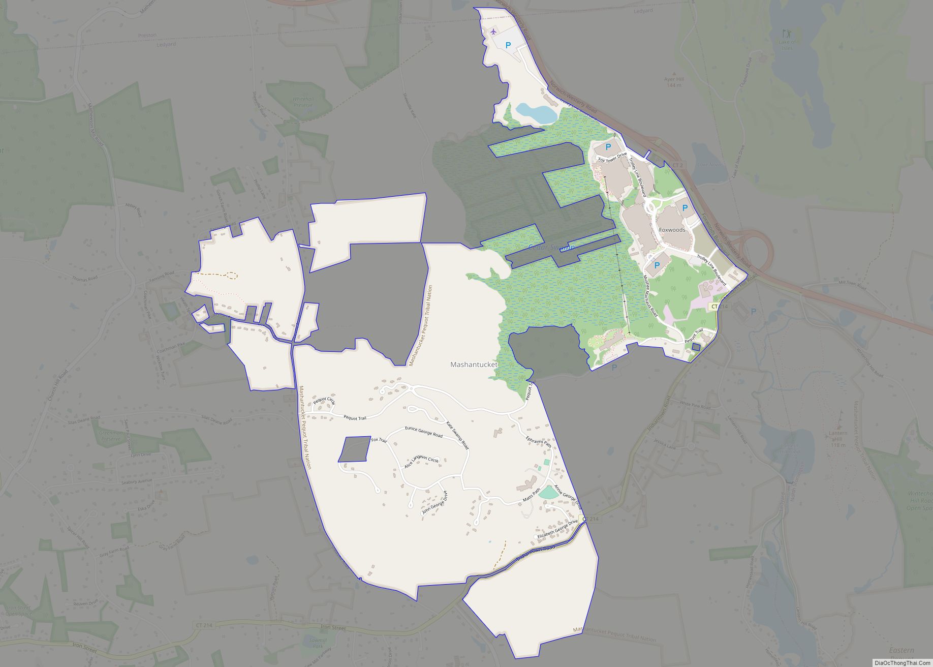
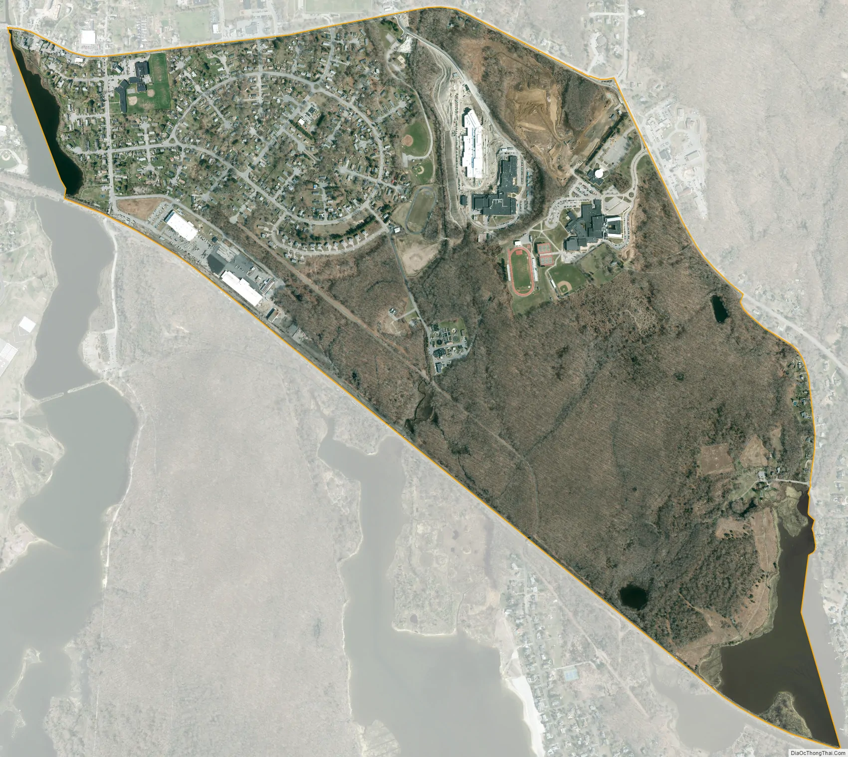
Poquonock Bridge city Satellite Map
Geography
According to the United States Census Bureau, the CDP has a total area of 1.4 square miles (3.7 km), of which 1.4 square miles (3.5 km) is land, and 0.077 square miles (0.2 km) (5.07%) is water.
See also
Map of Connecticut State and its subdivision: Map of other states:- Alabama
- Alaska
- Arizona
- Arkansas
- California
- Colorado
- Connecticut
- Delaware
- District of Columbia
- Florida
- Georgia
- Hawaii
- Idaho
- Illinois
- Indiana
- Iowa
- Kansas
- Kentucky
- Louisiana
- Maine
- Maryland
- Massachusetts
- Michigan
- Minnesota
- Mississippi
- Missouri
- Montana
- Nebraska
- Nevada
- New Hampshire
- New Jersey
- New Mexico
- New York
- North Carolina
- North Dakota
- Ohio
- Oklahoma
- Oregon
- Pennsylvania
- Rhode Island
- South Carolina
- South Dakota
- Tennessee
- Texas
- Utah
- Vermont
- Virginia
- Washington
- West Virginia
- Wisconsin
- Wyoming